Webcams in the region of Appomattox (historical), Virginia, USA
The List of Webcams near Appomattox (historical), Virginia, USA:
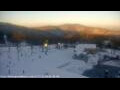
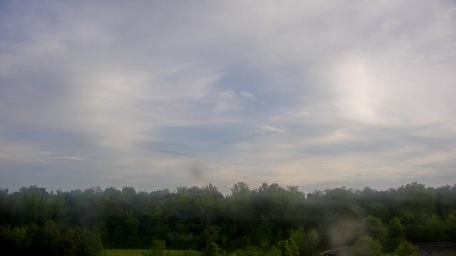
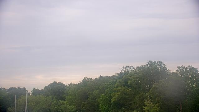
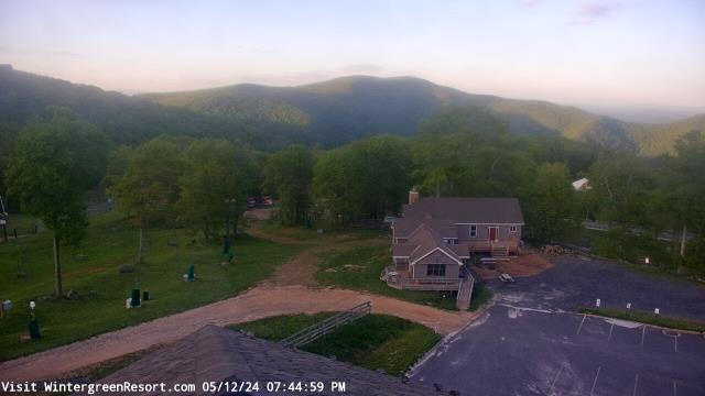
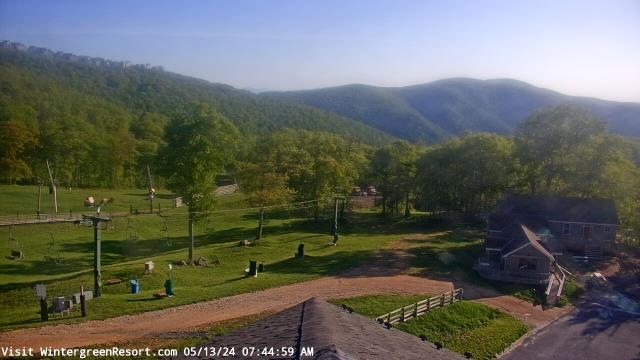
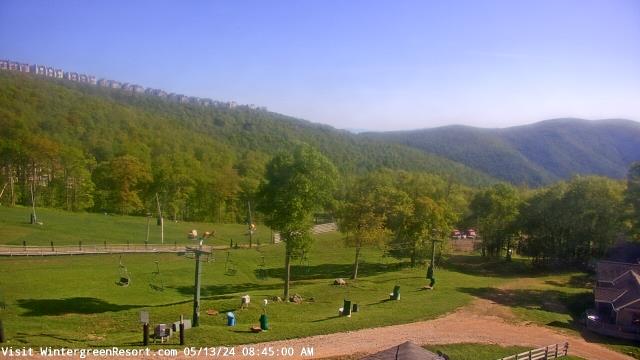
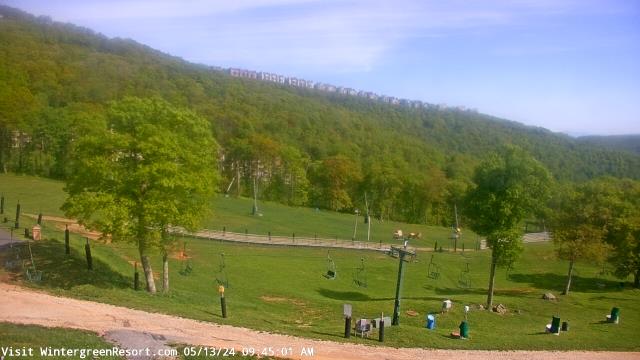
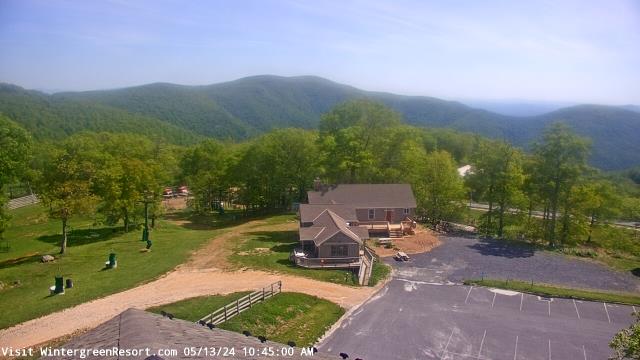
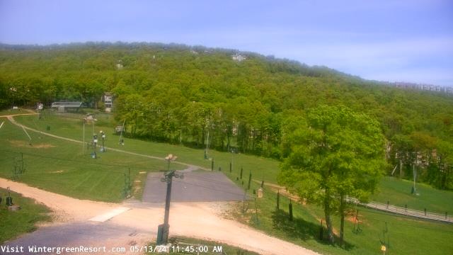
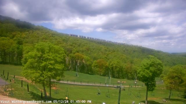
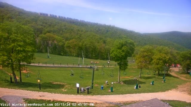
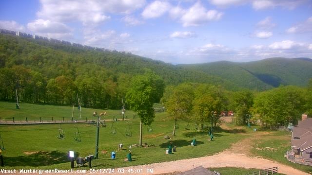
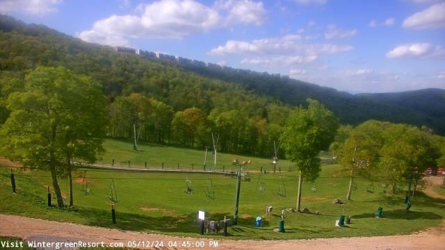
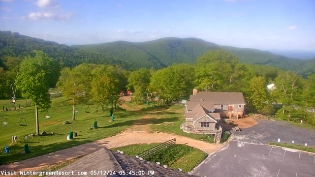
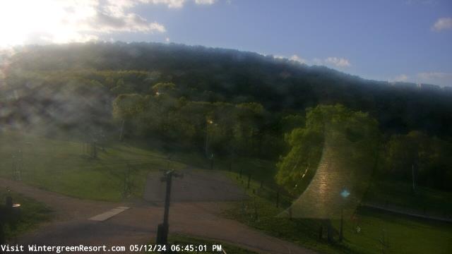
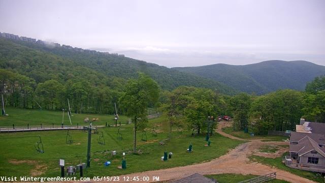
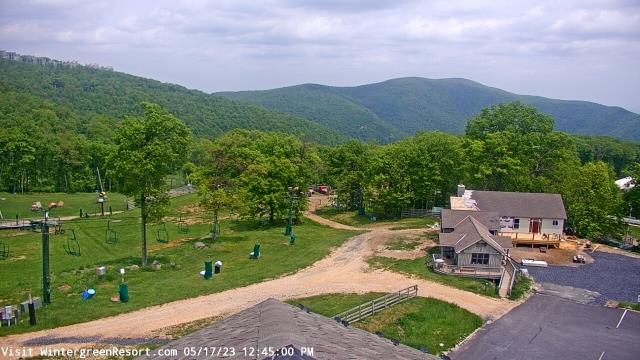
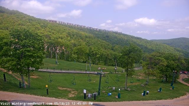
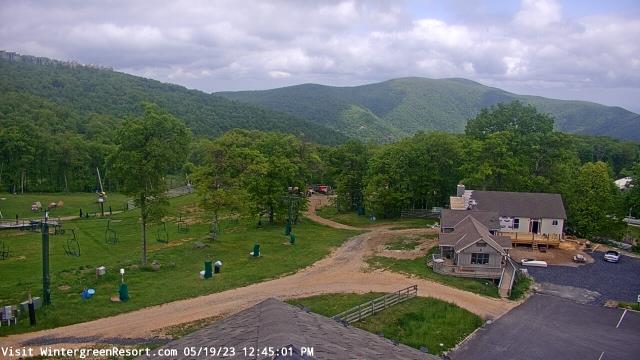
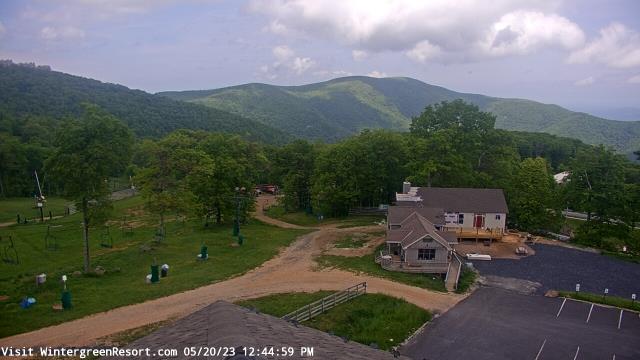
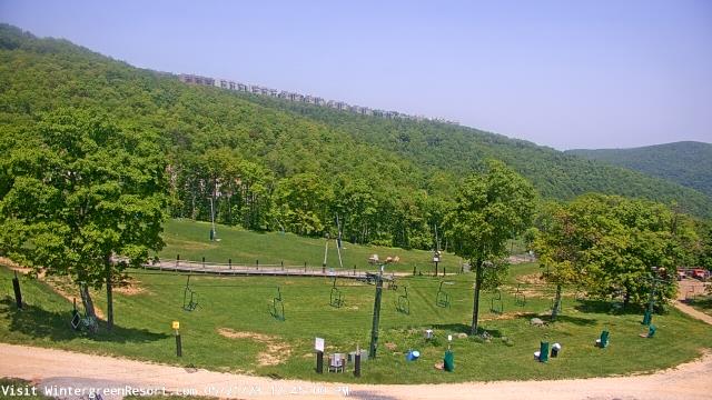
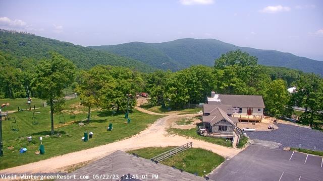
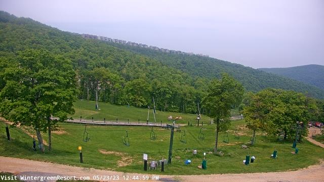
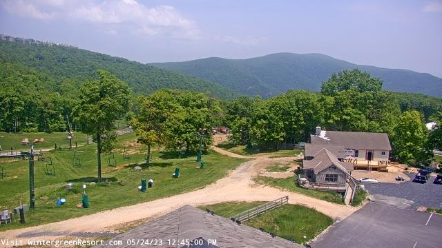
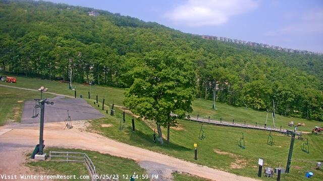
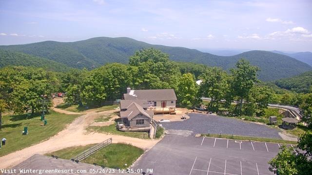
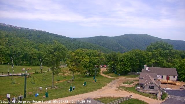
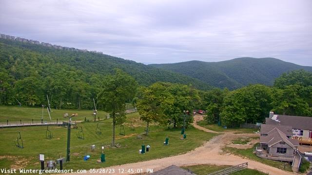
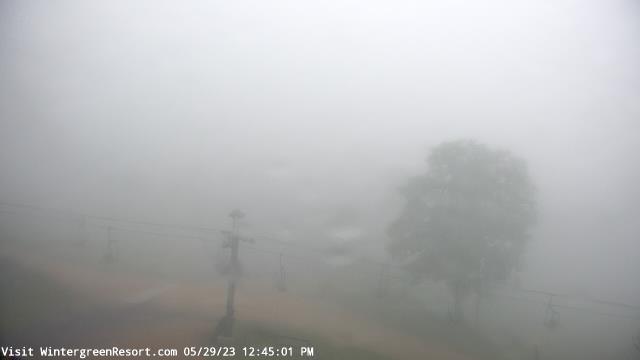
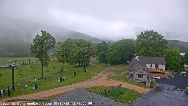
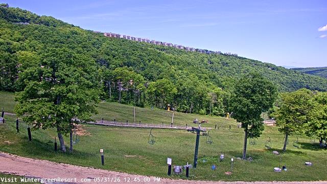
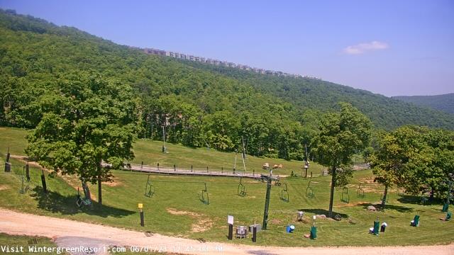
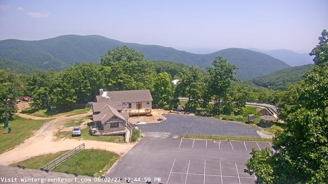
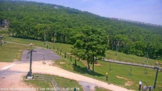
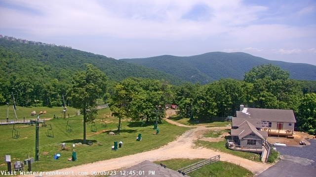
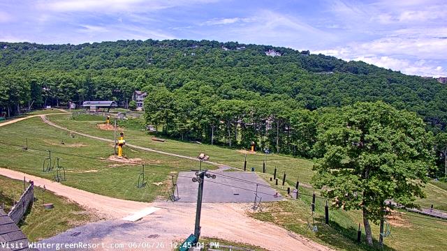
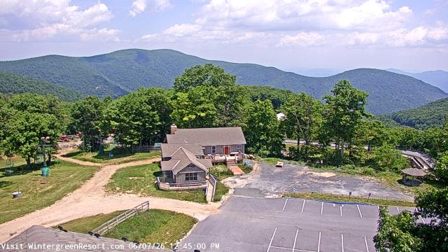
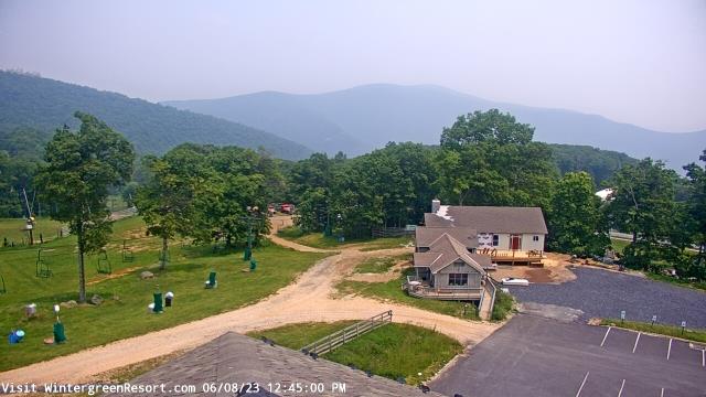
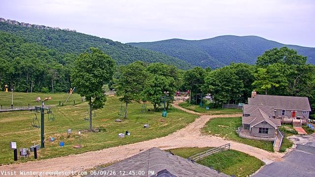
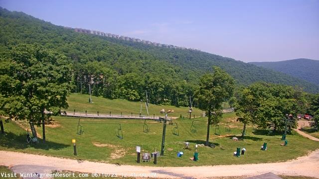
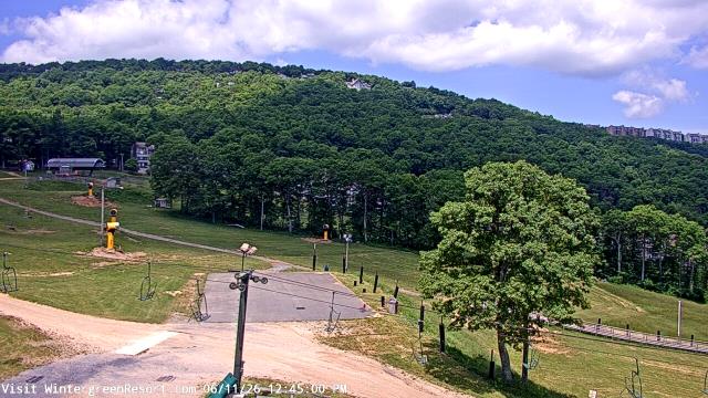
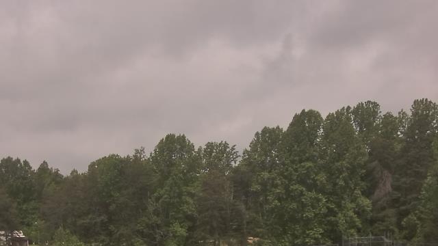
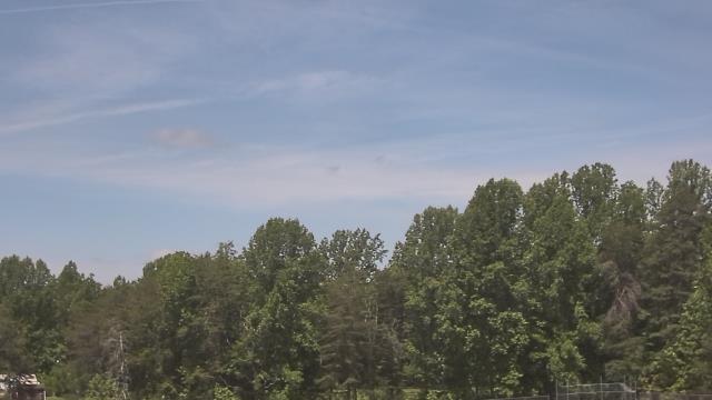
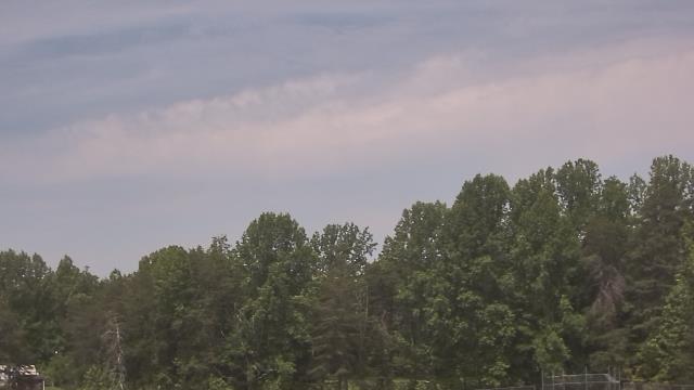
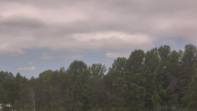
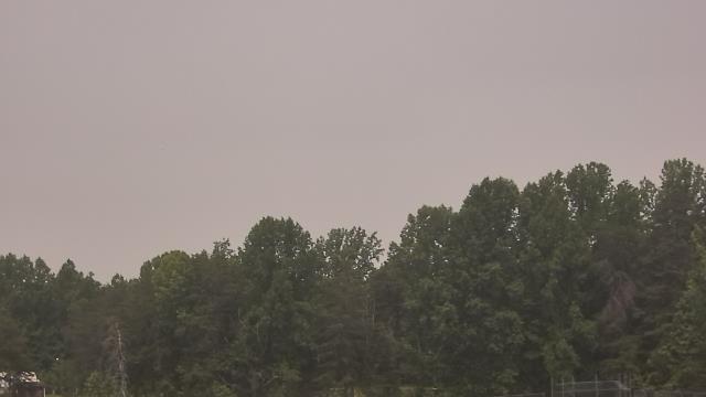
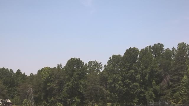
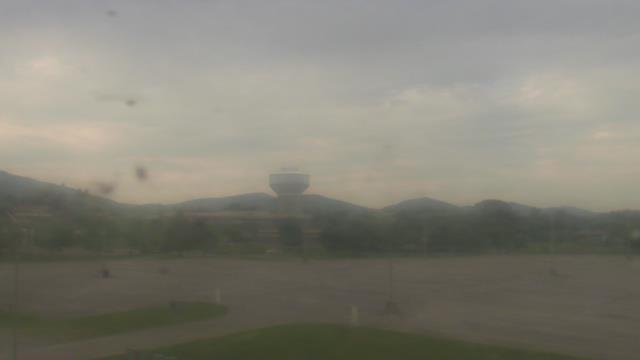
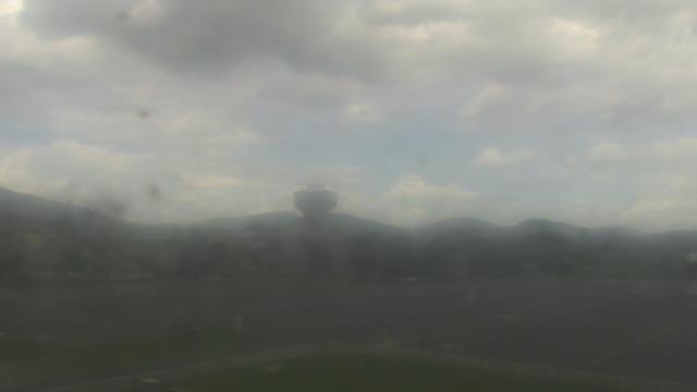
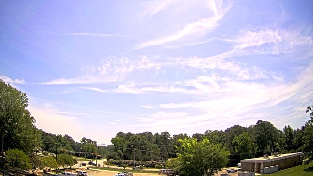
Nellysford, Virginia, USA - 35.6 miles from Appomattox (historical): Wintergreen Mtn. at 3650 ft. elev. - A webcam in Nellysford, Virginia - camera location: Wintergreen Mtn. at 3650 ft. elev..
Operator: WeatherBug
Operator: WeatherBug


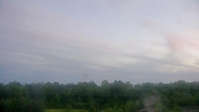
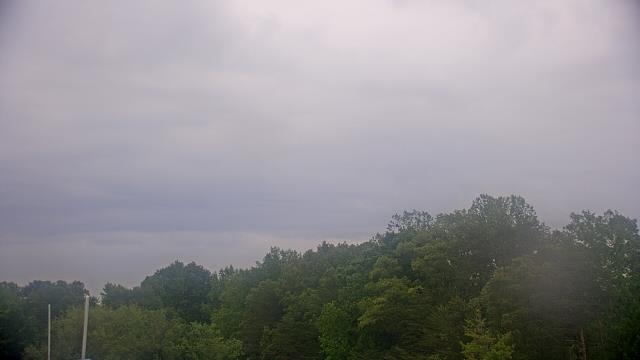
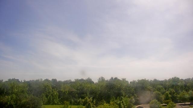
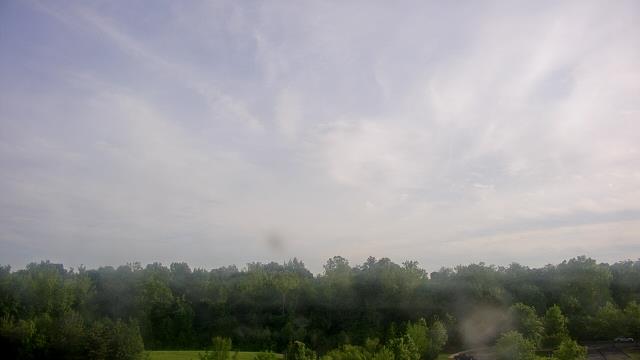
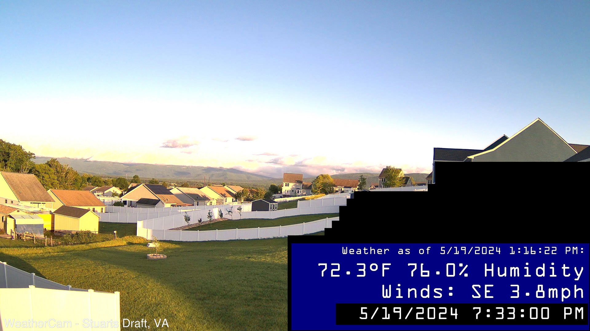
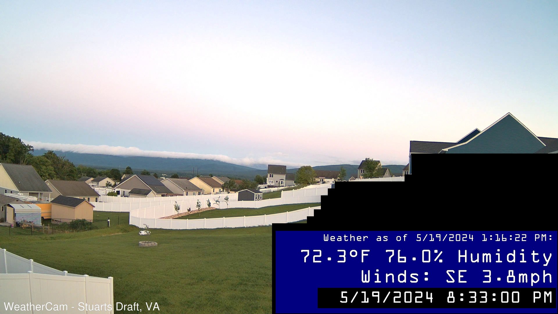
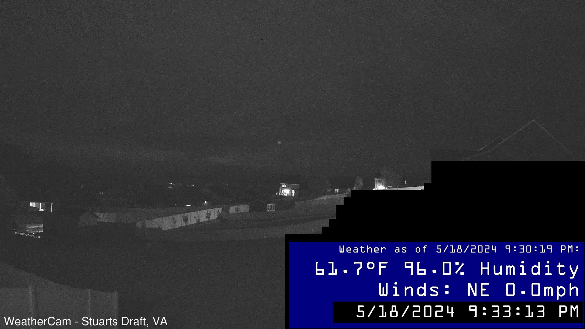
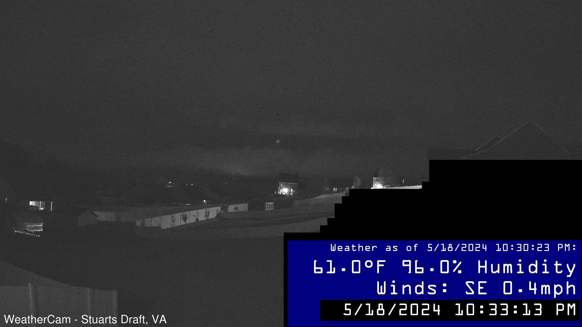
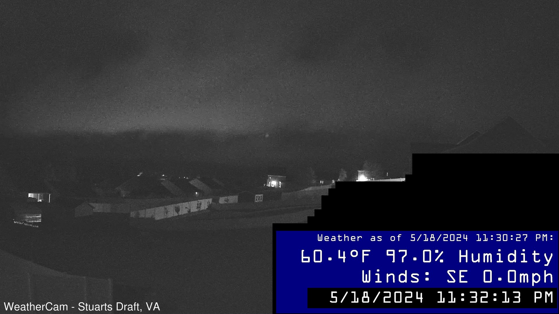
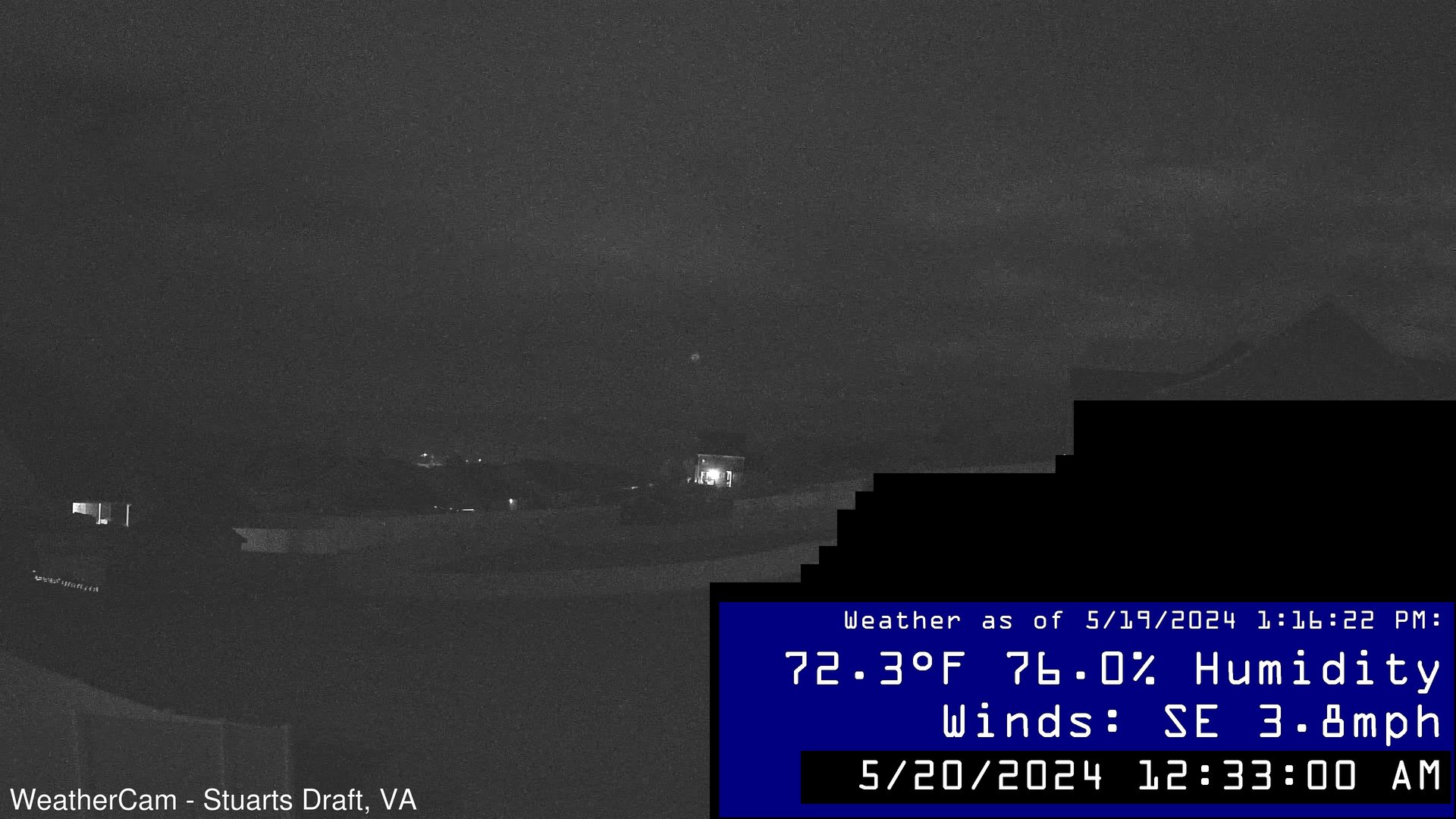
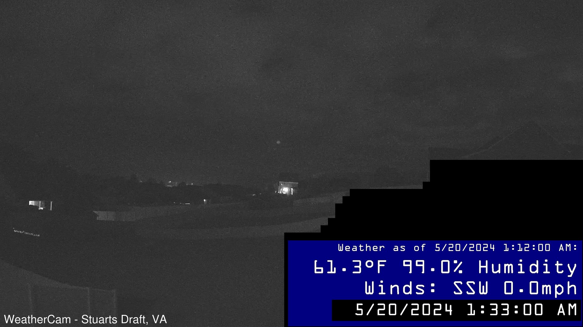
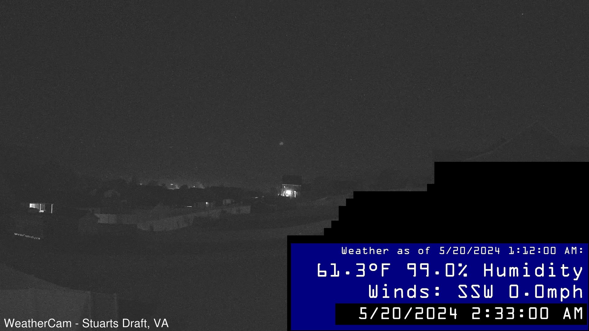
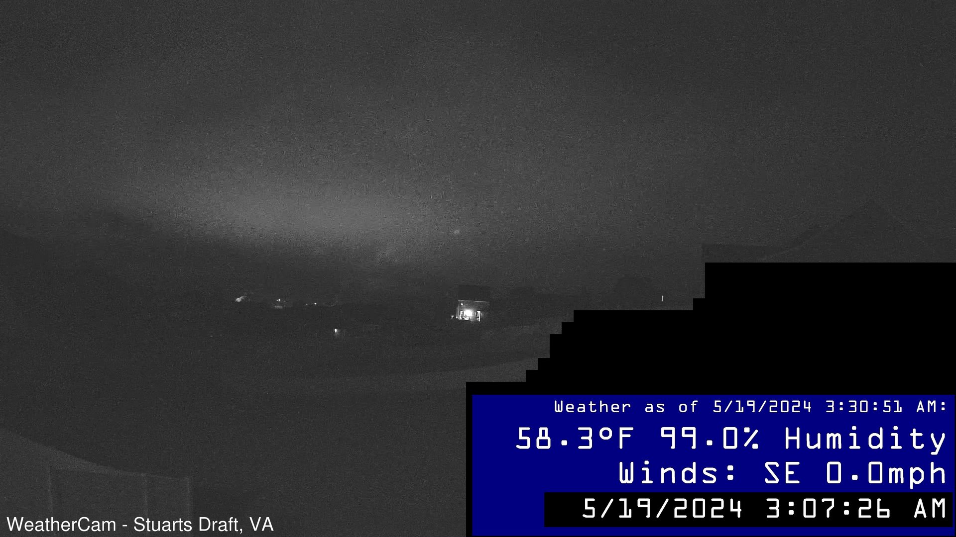
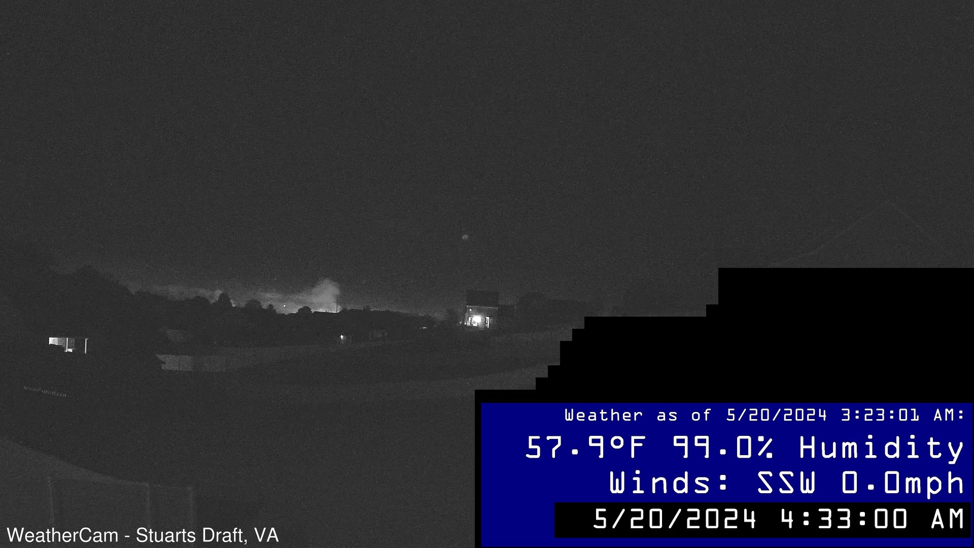
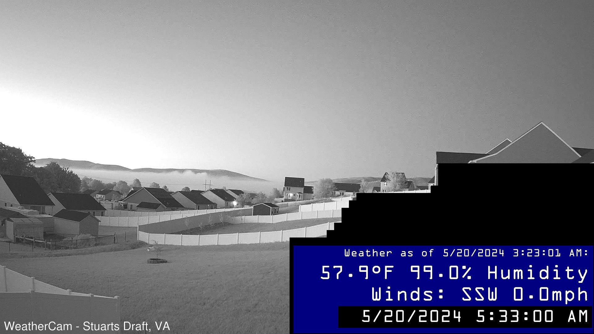
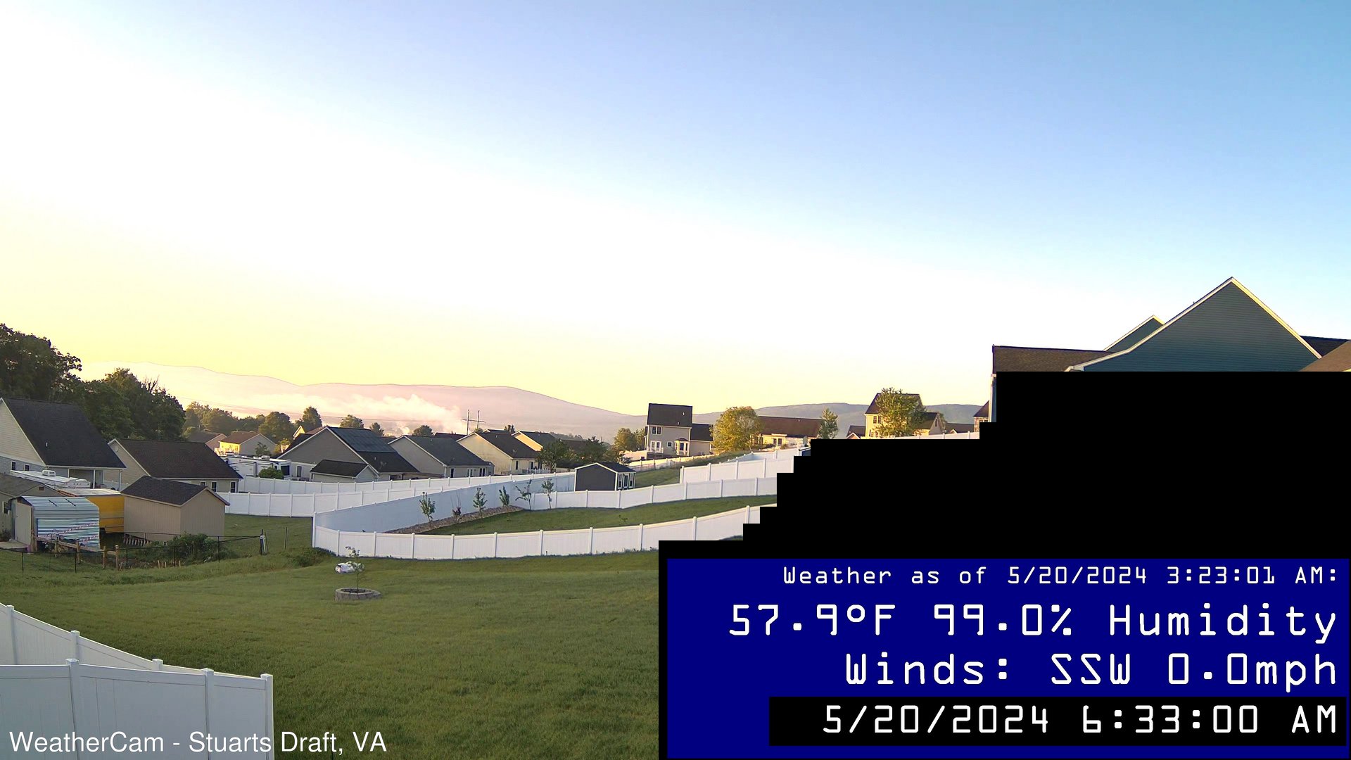
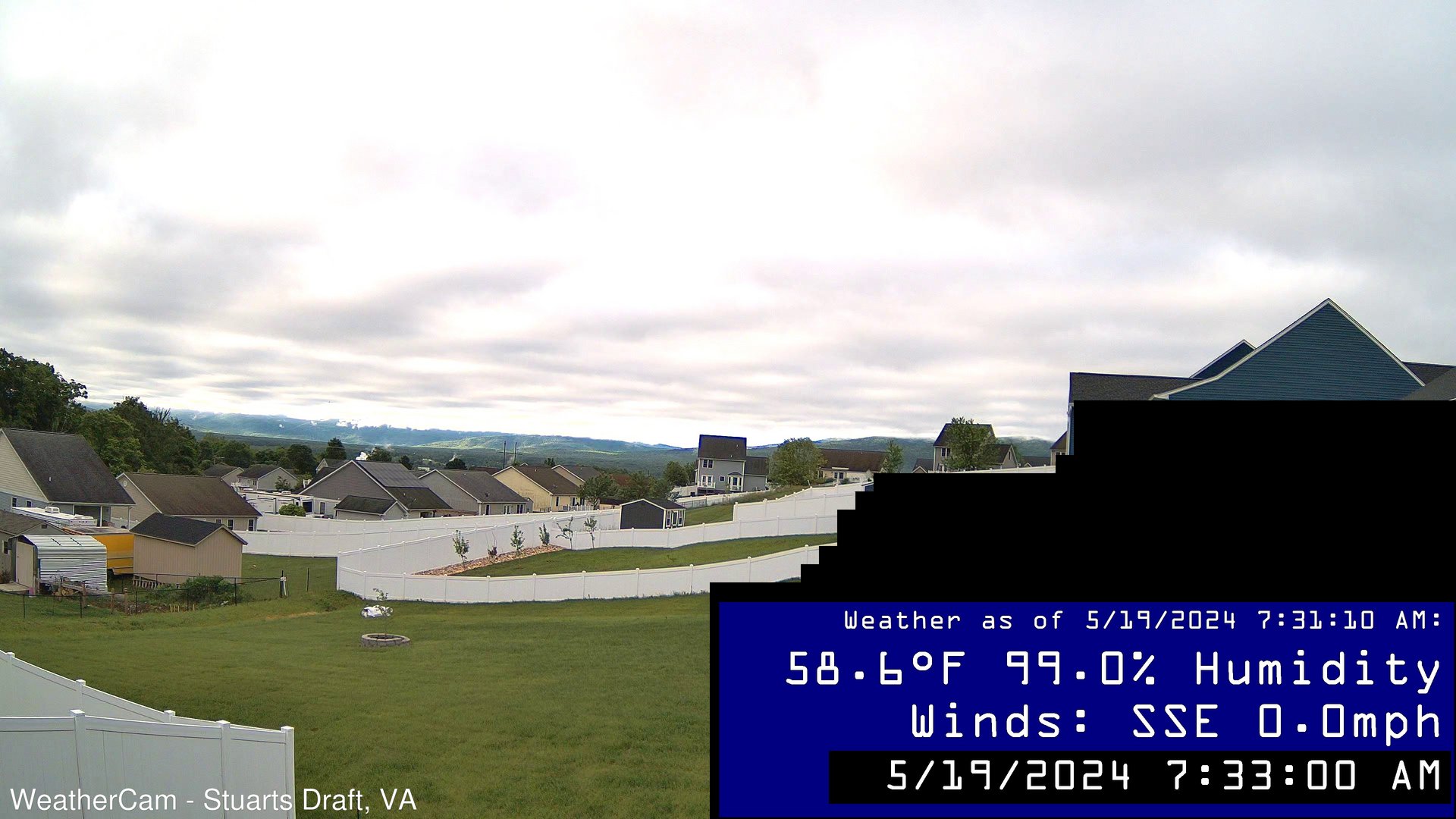
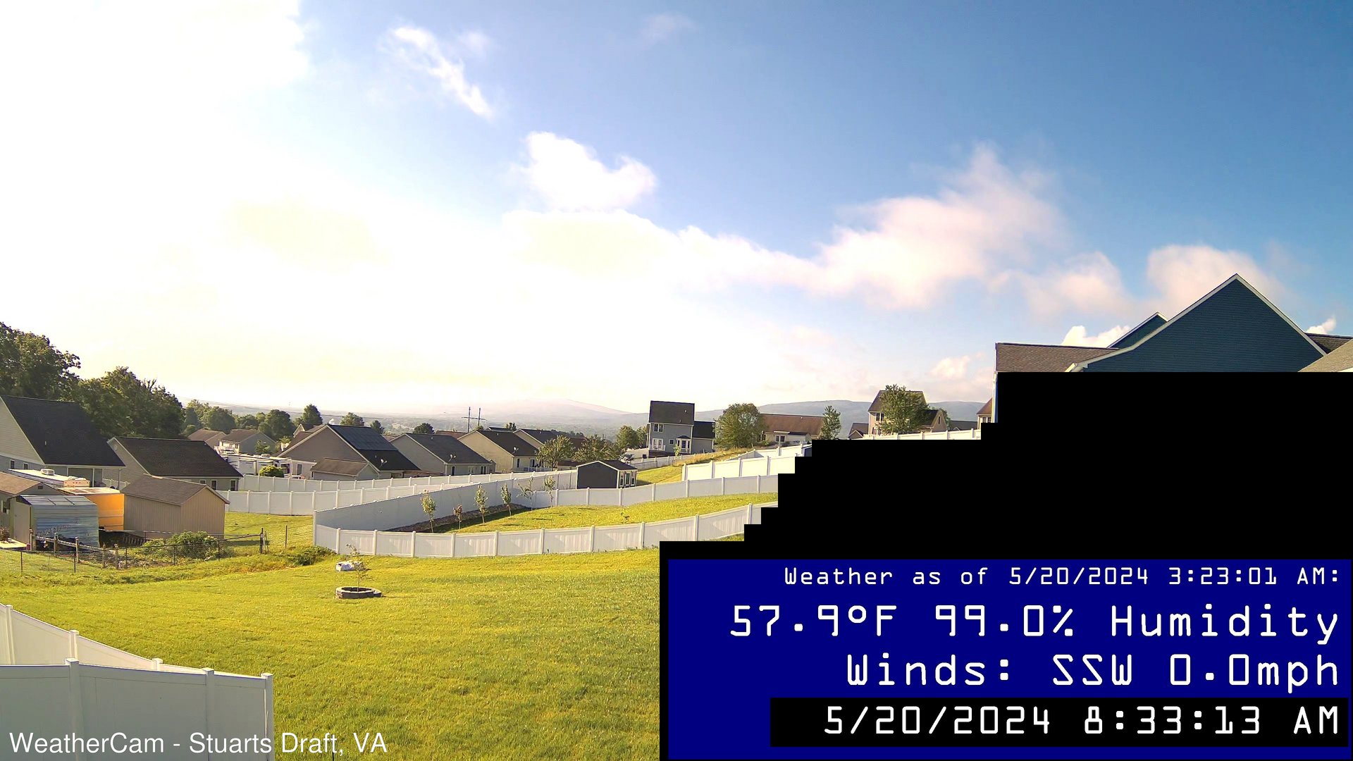
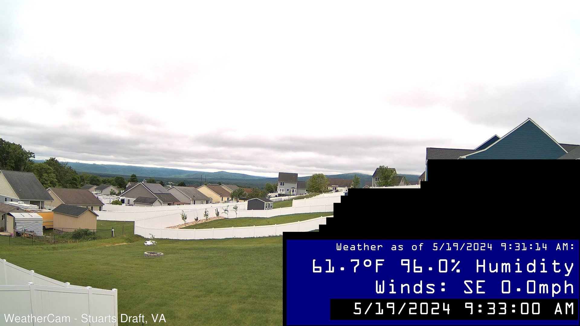
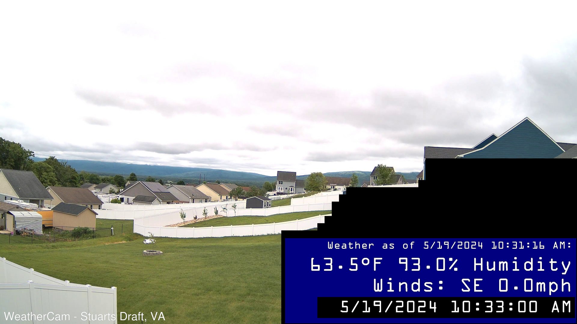
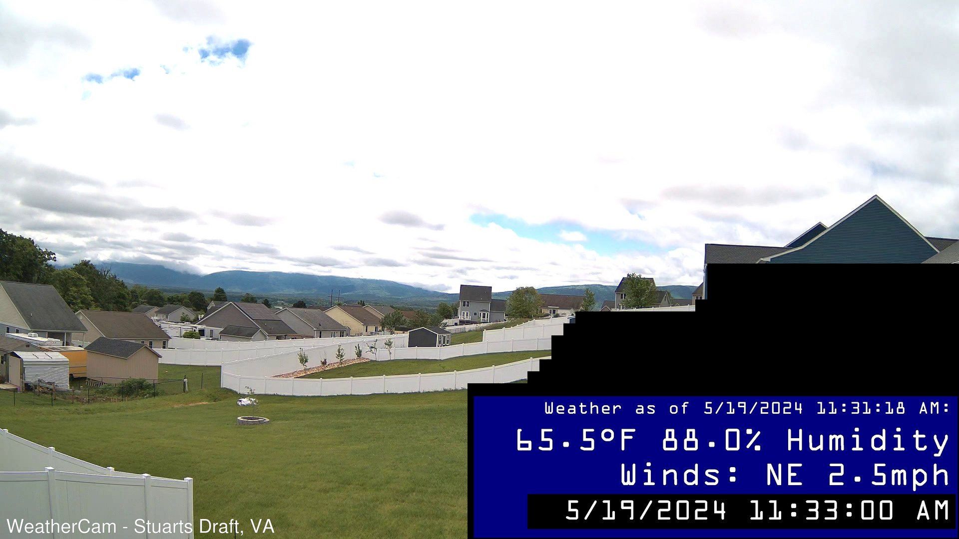
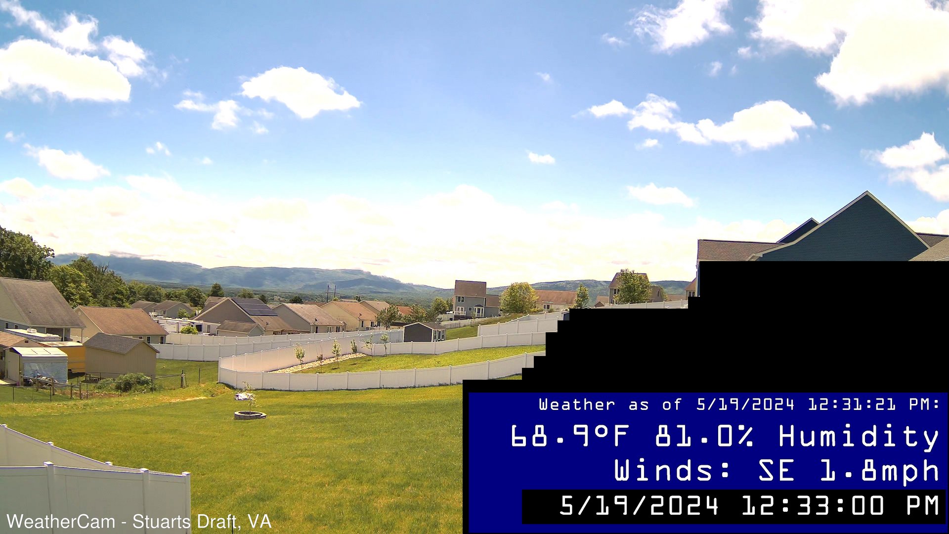
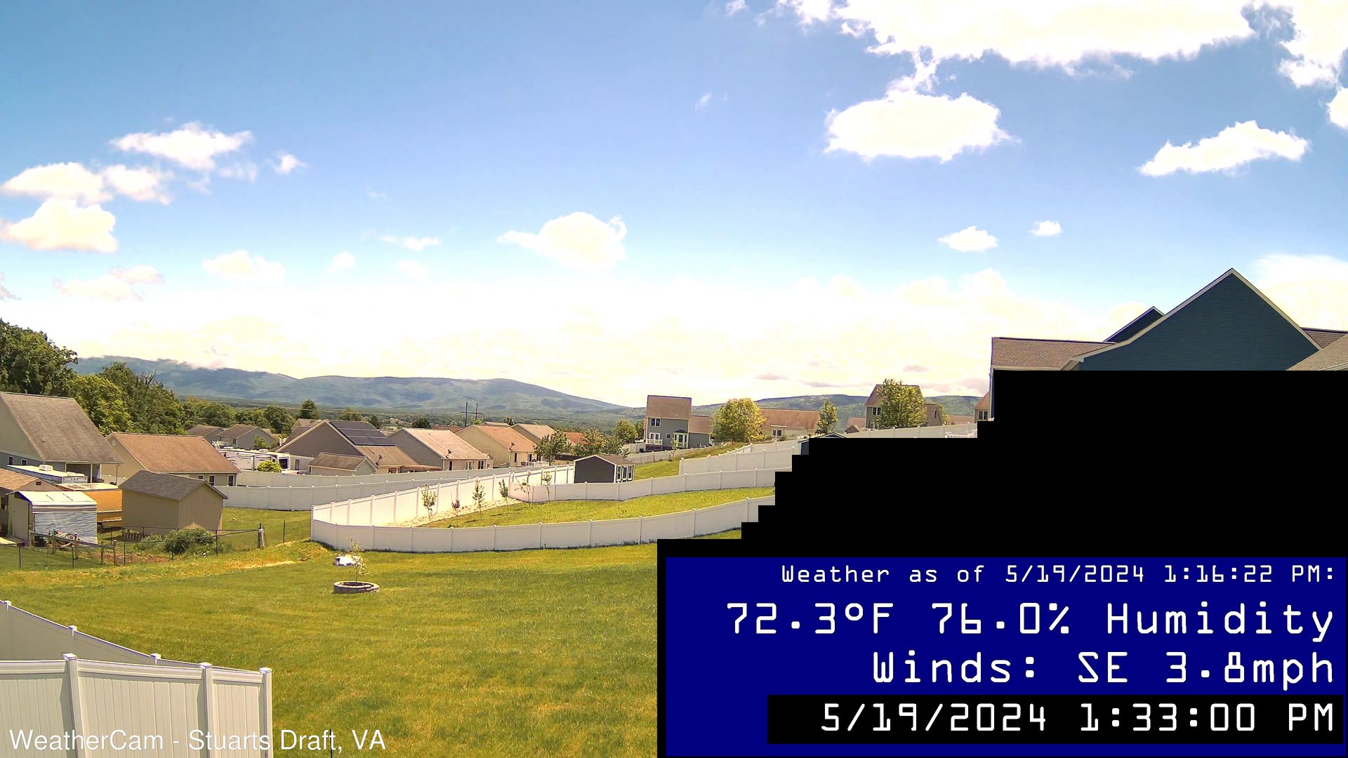
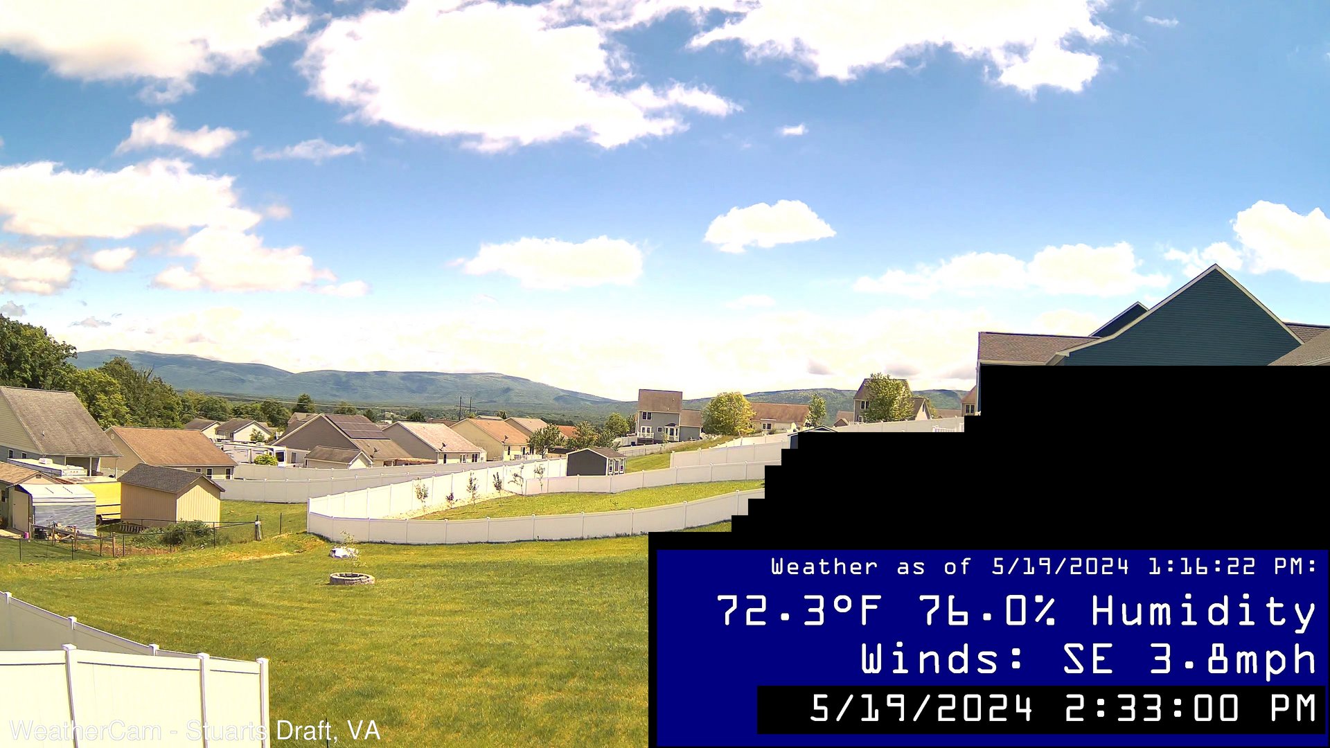
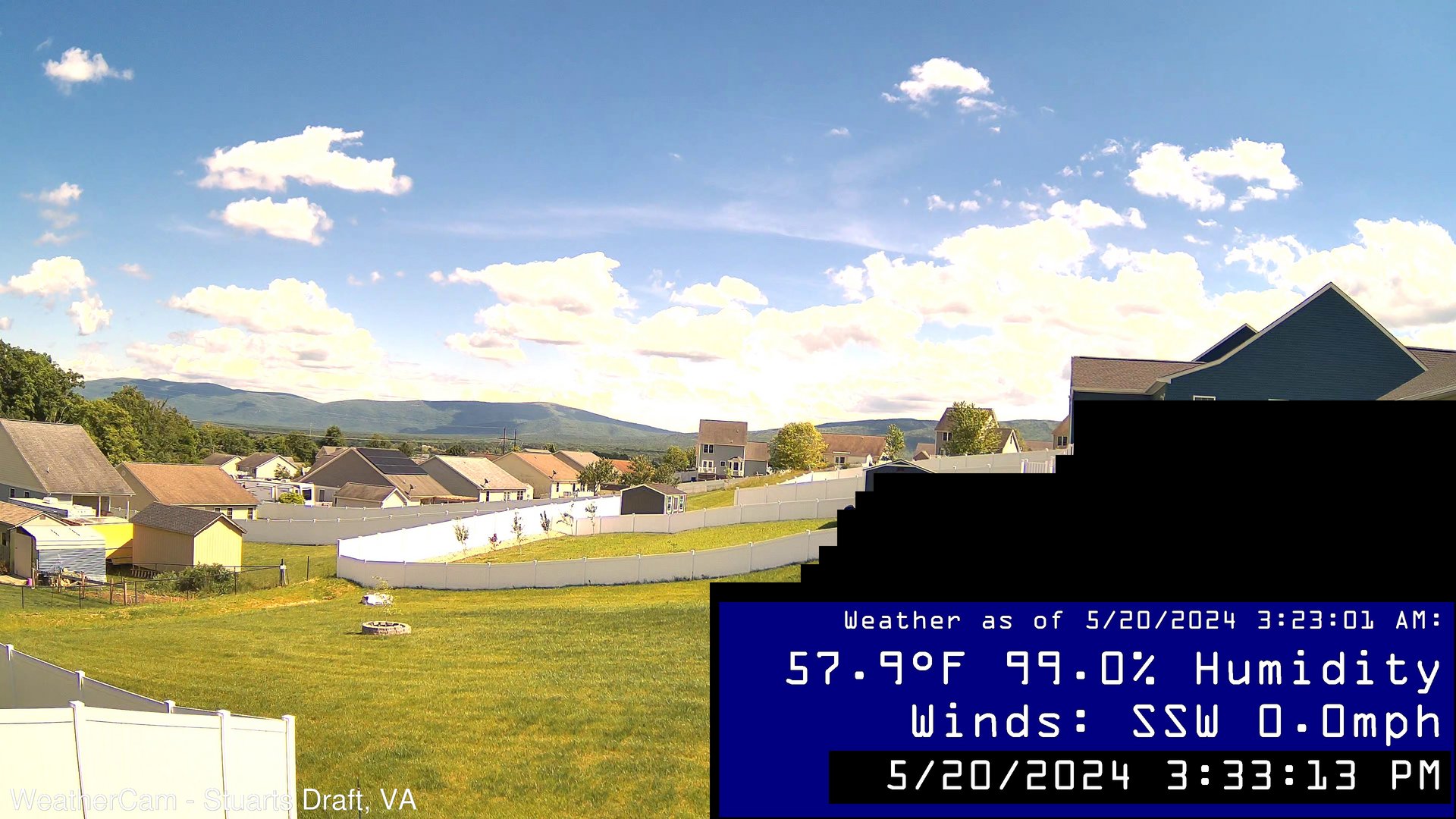
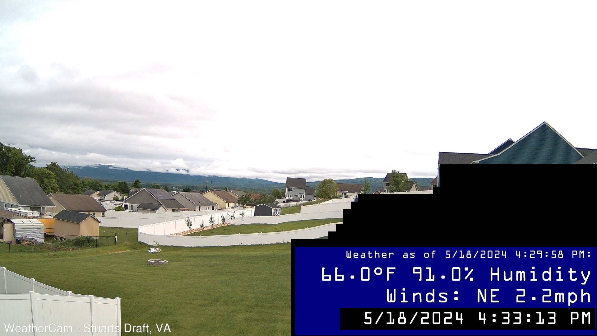
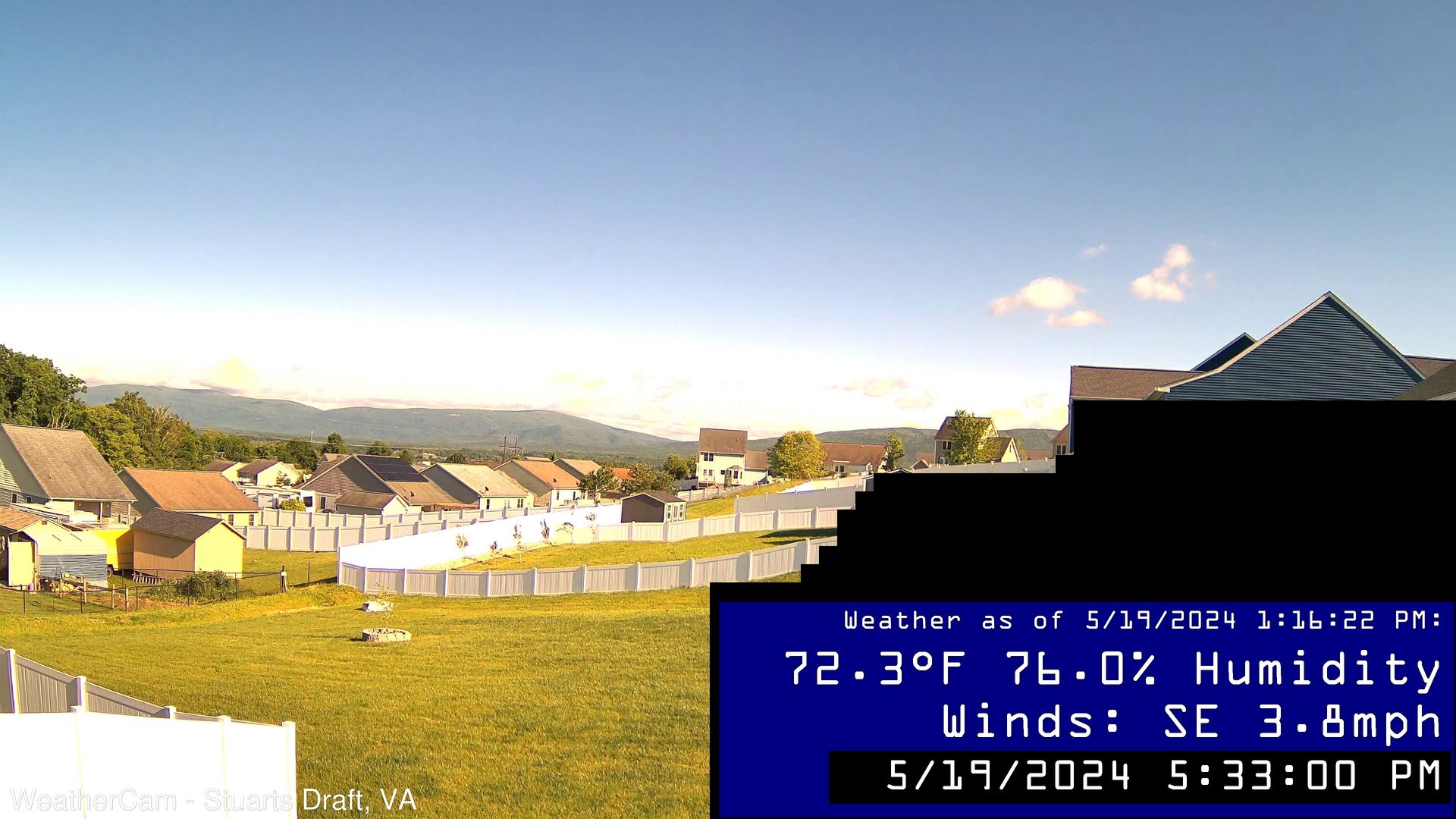
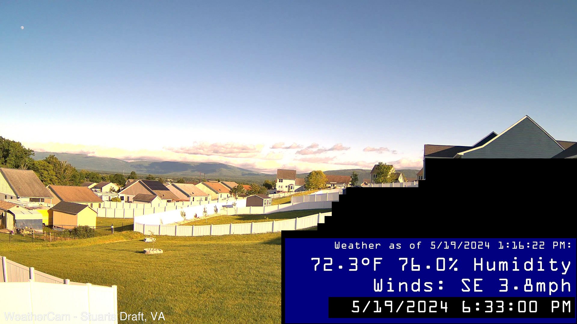
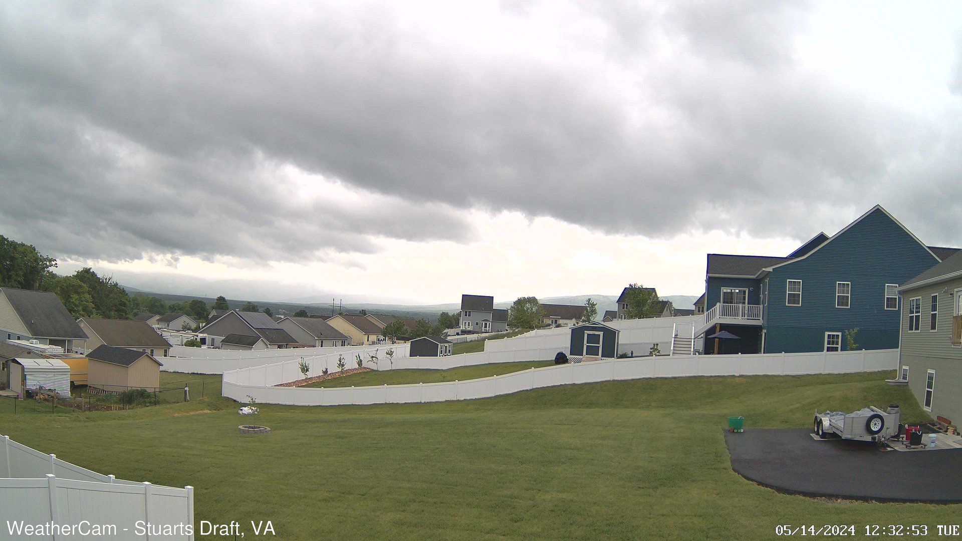
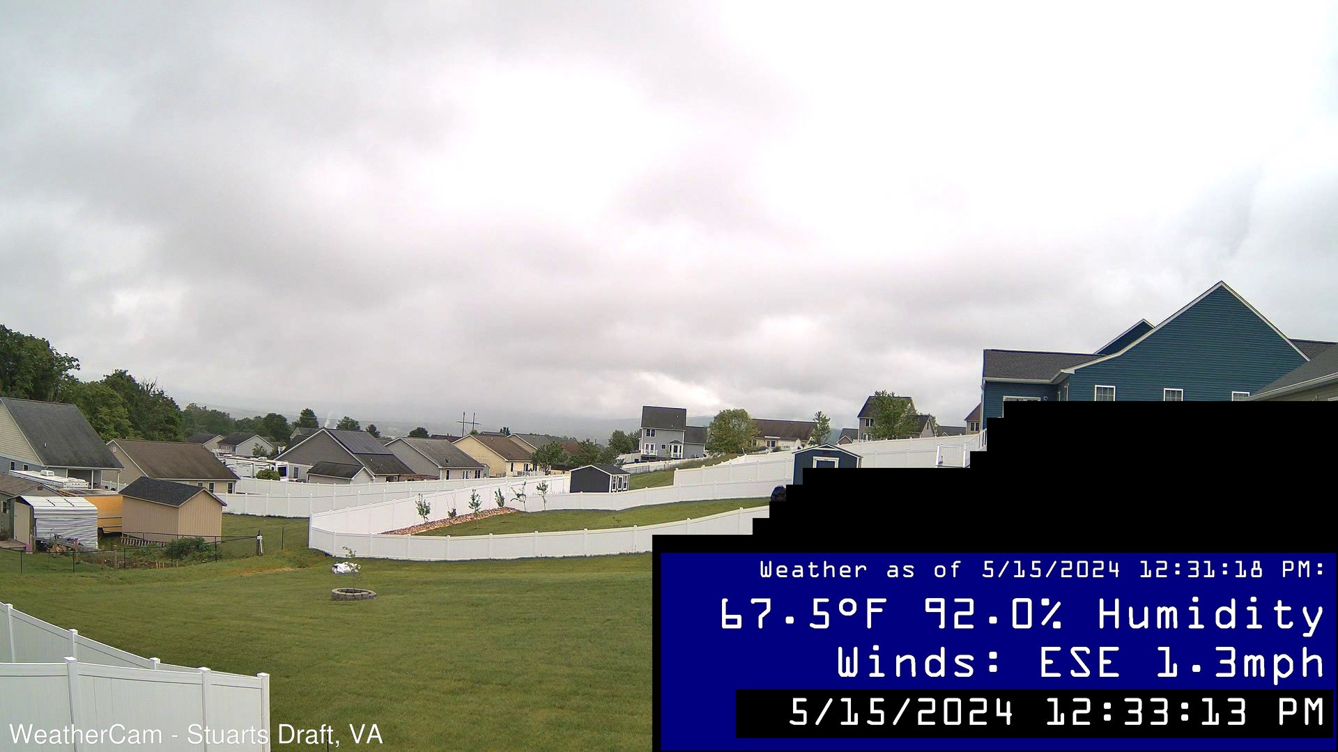
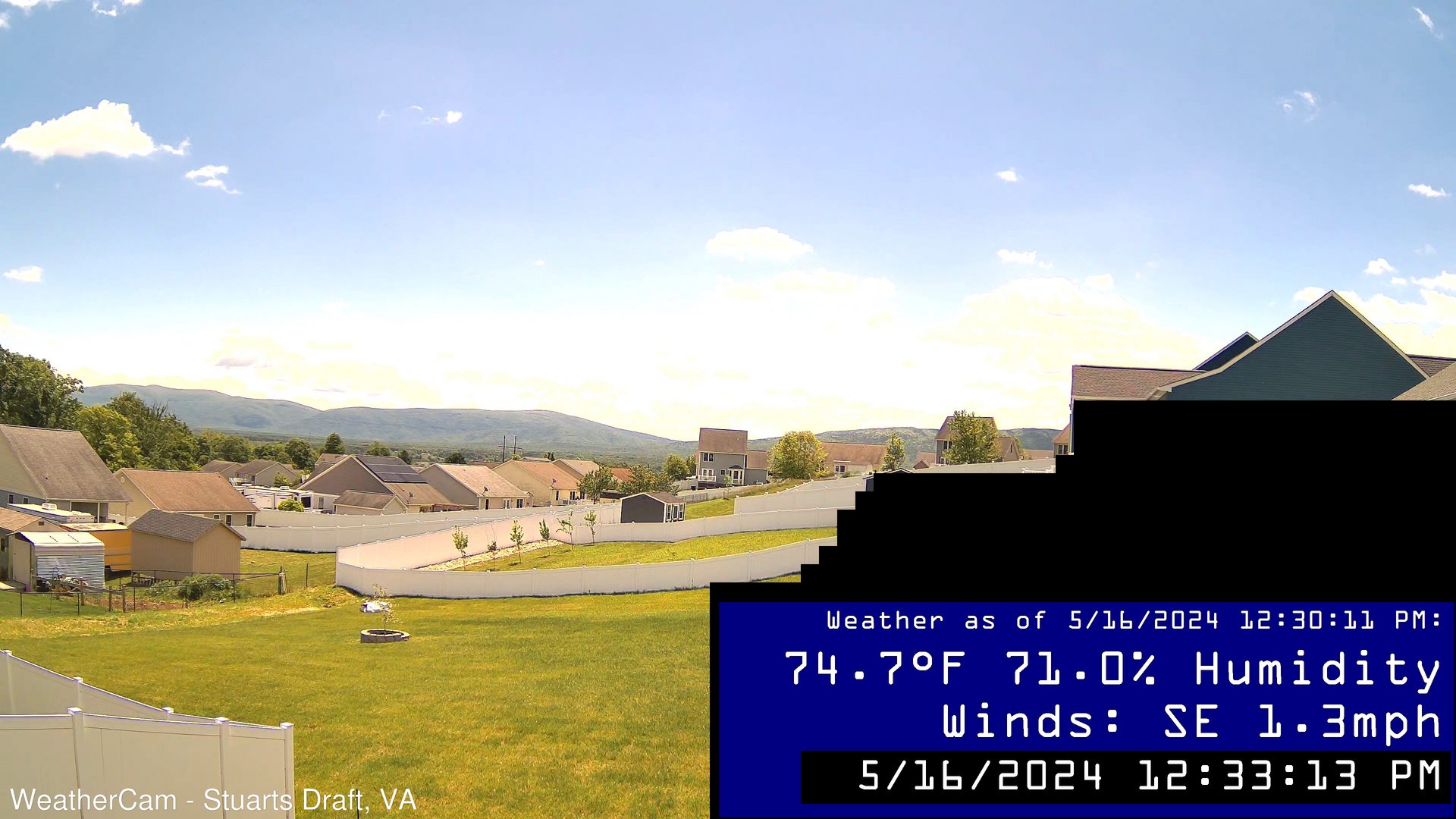
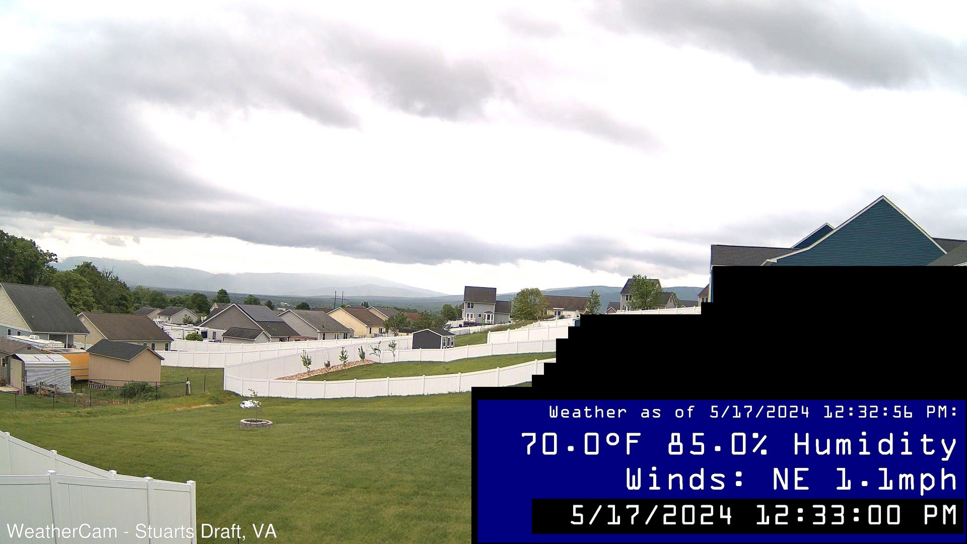
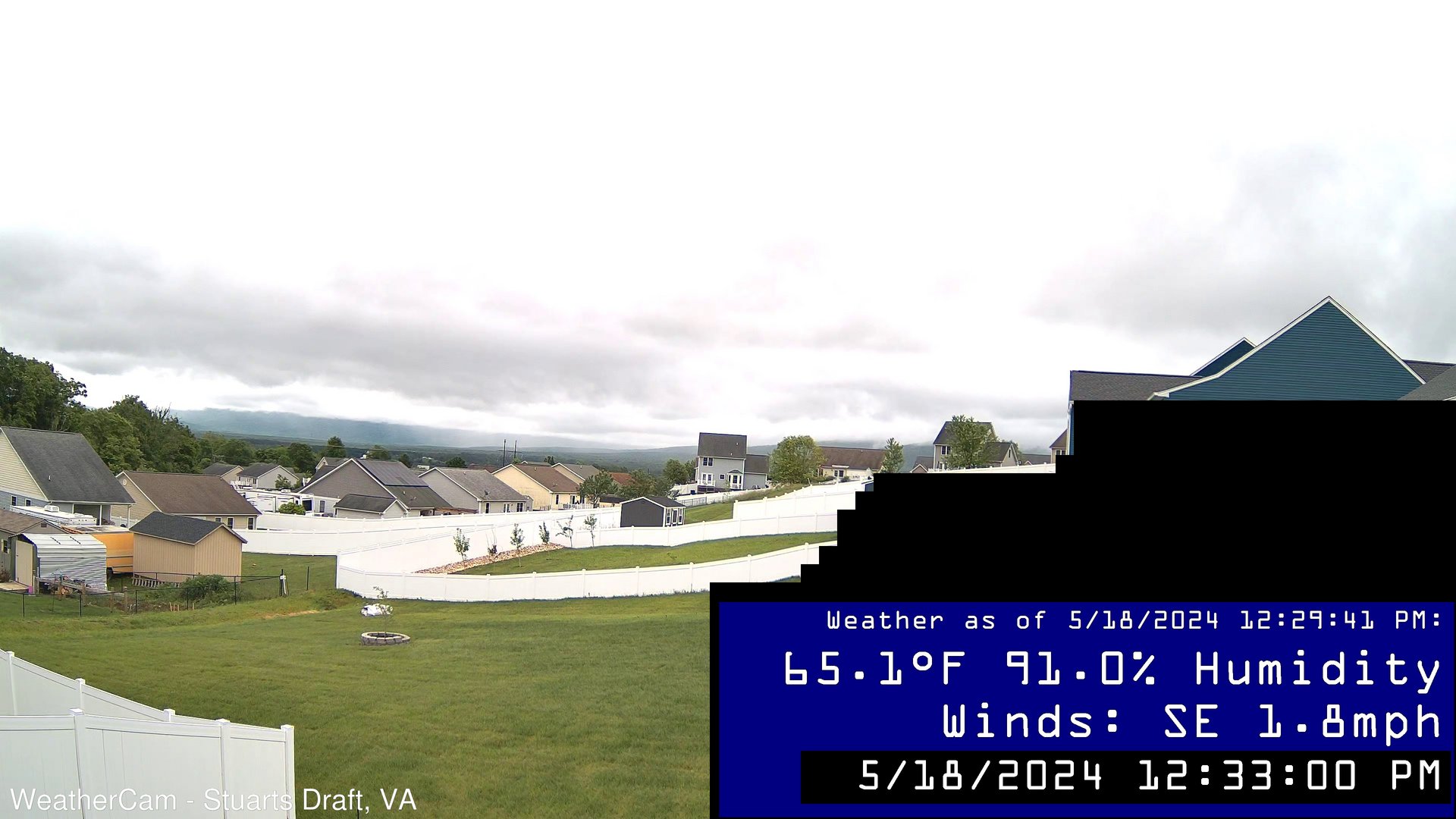
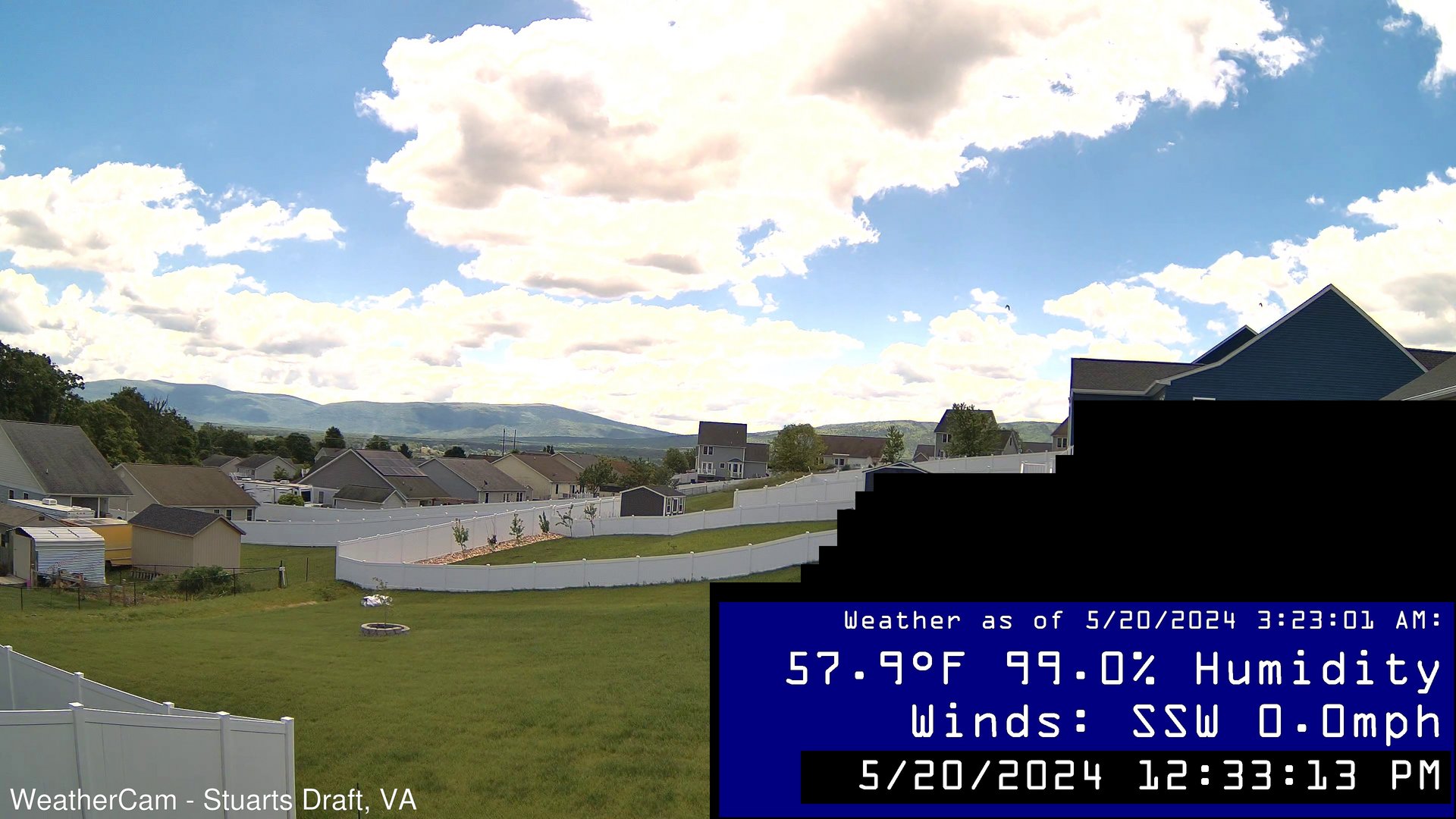
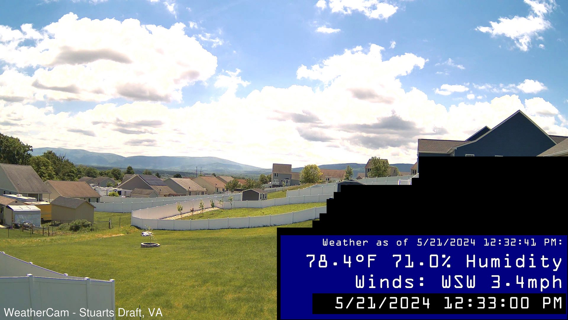
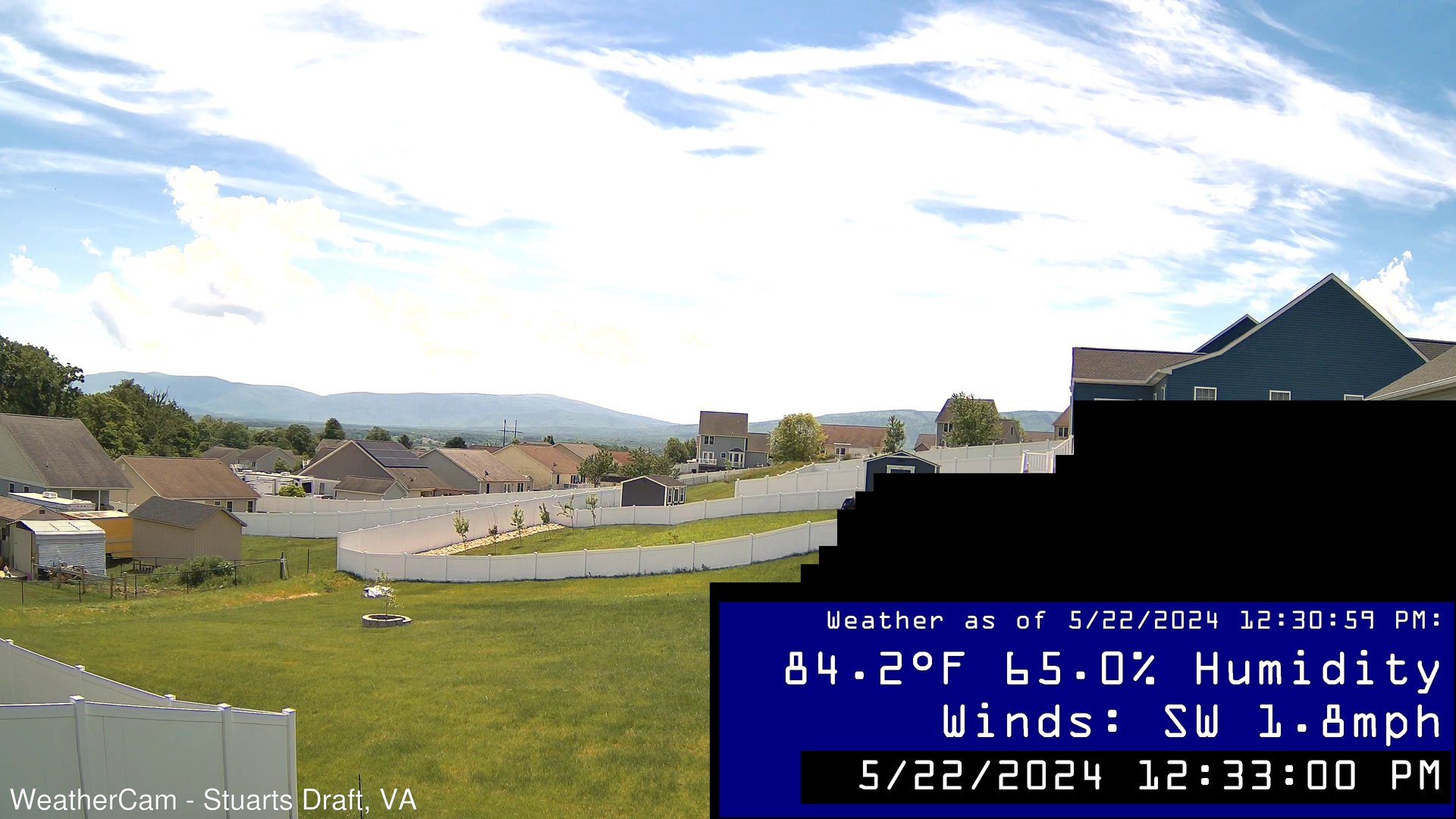
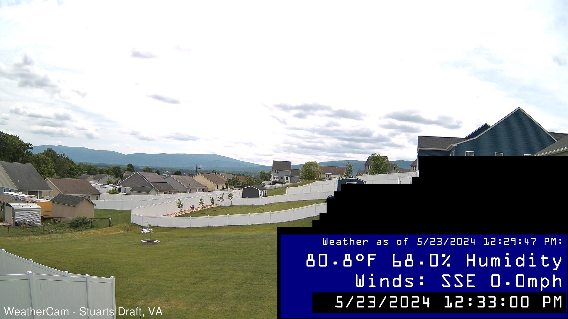
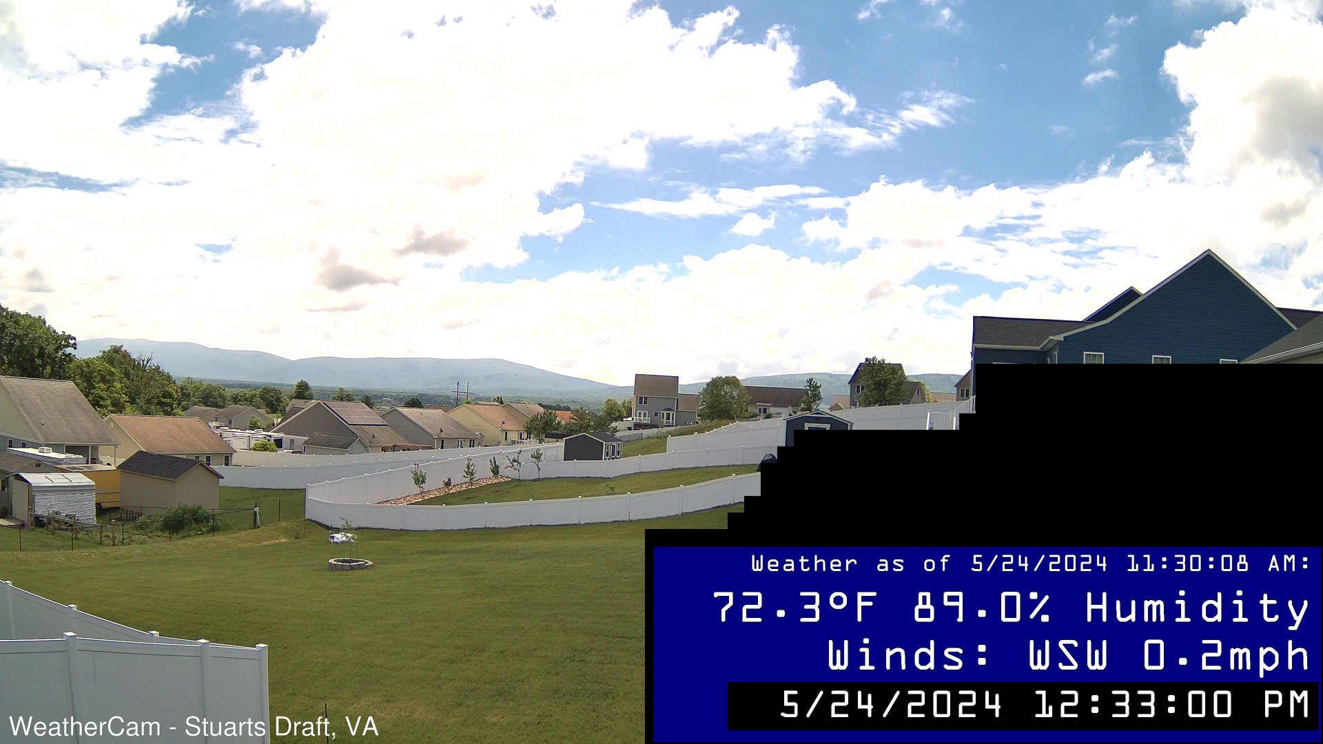
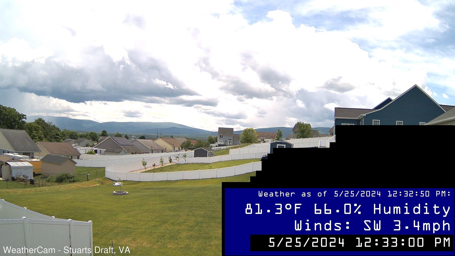
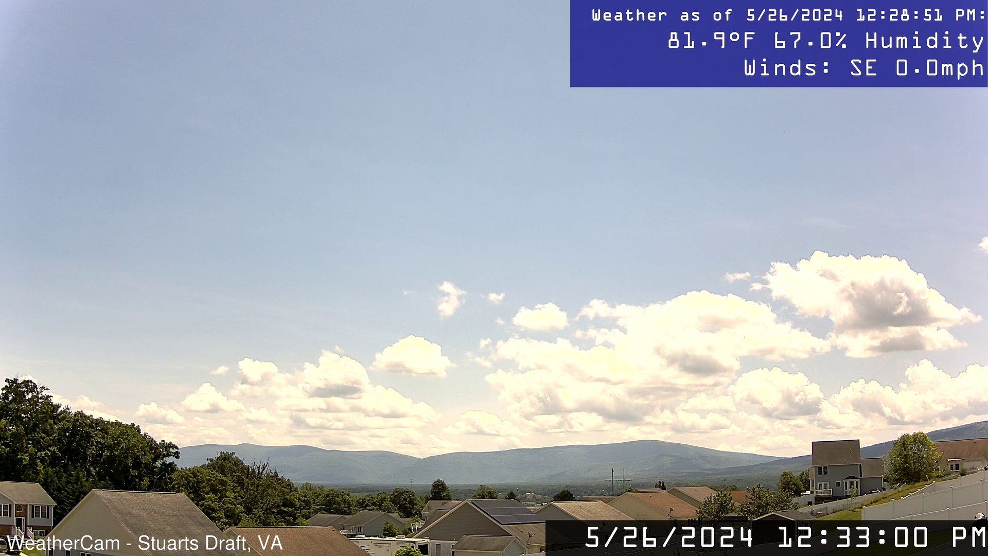
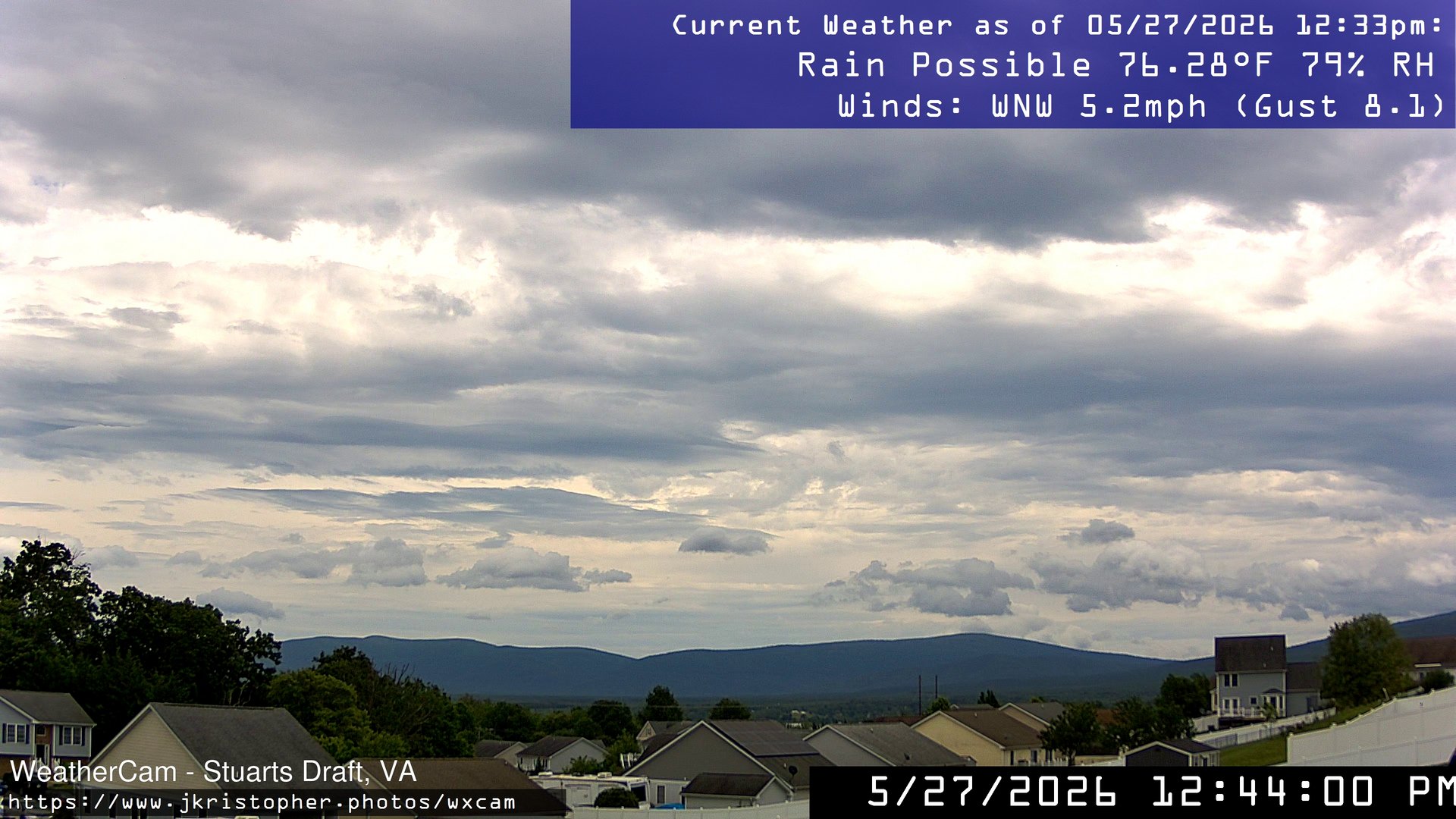
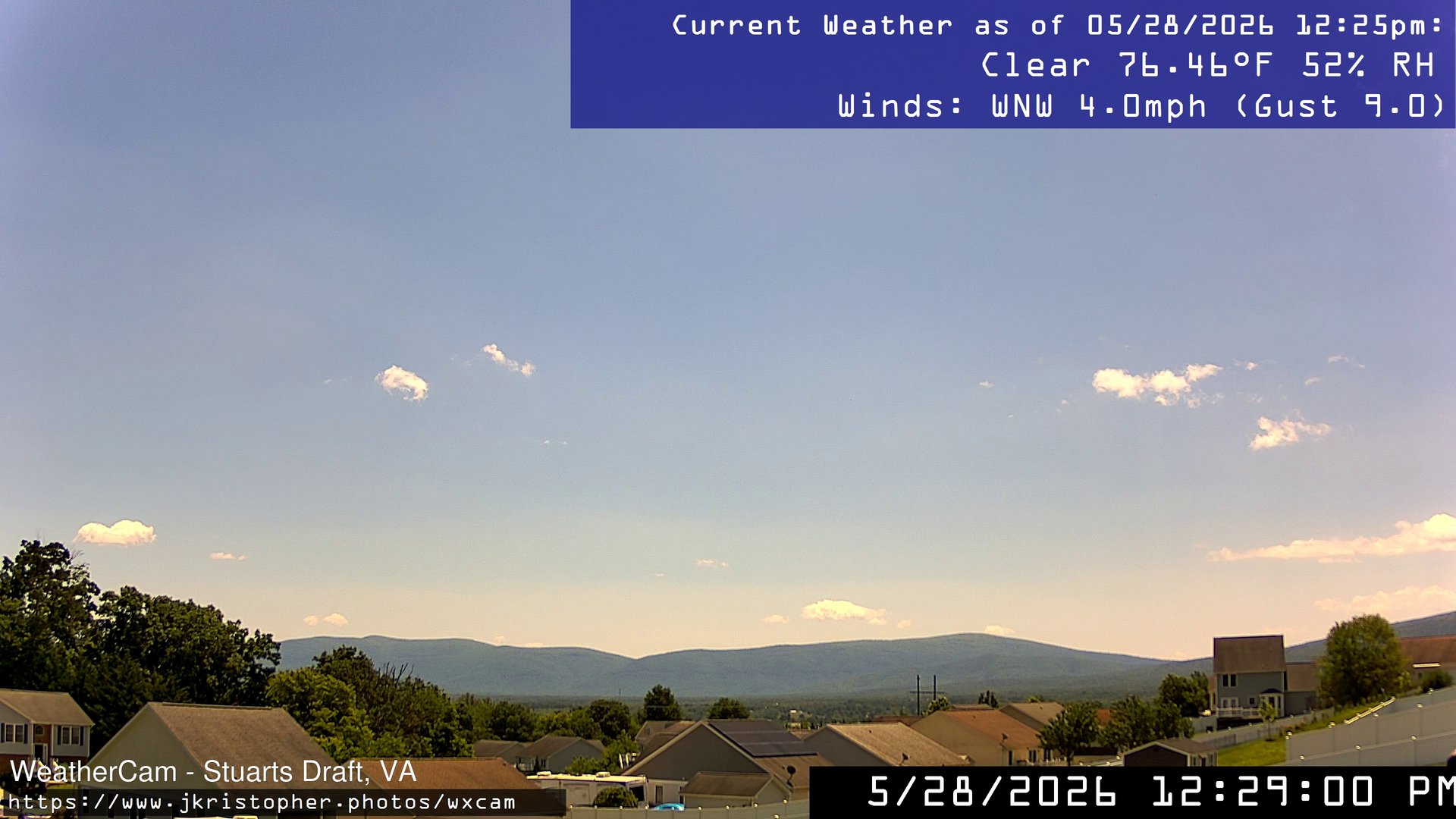
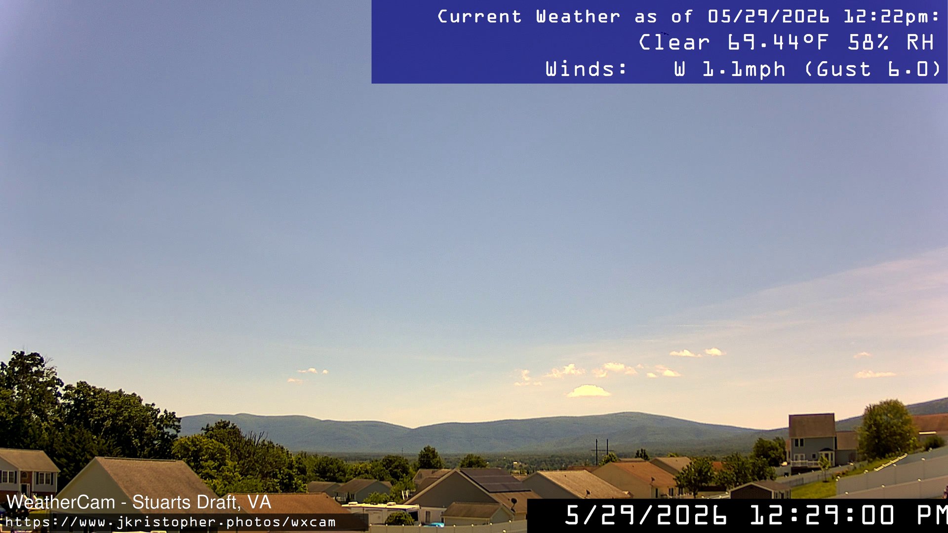
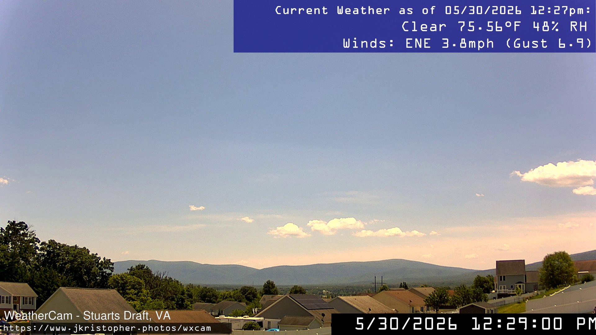
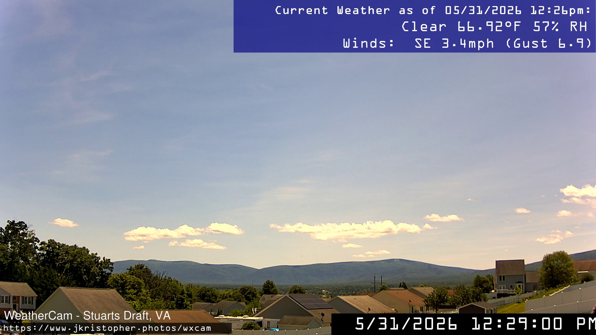
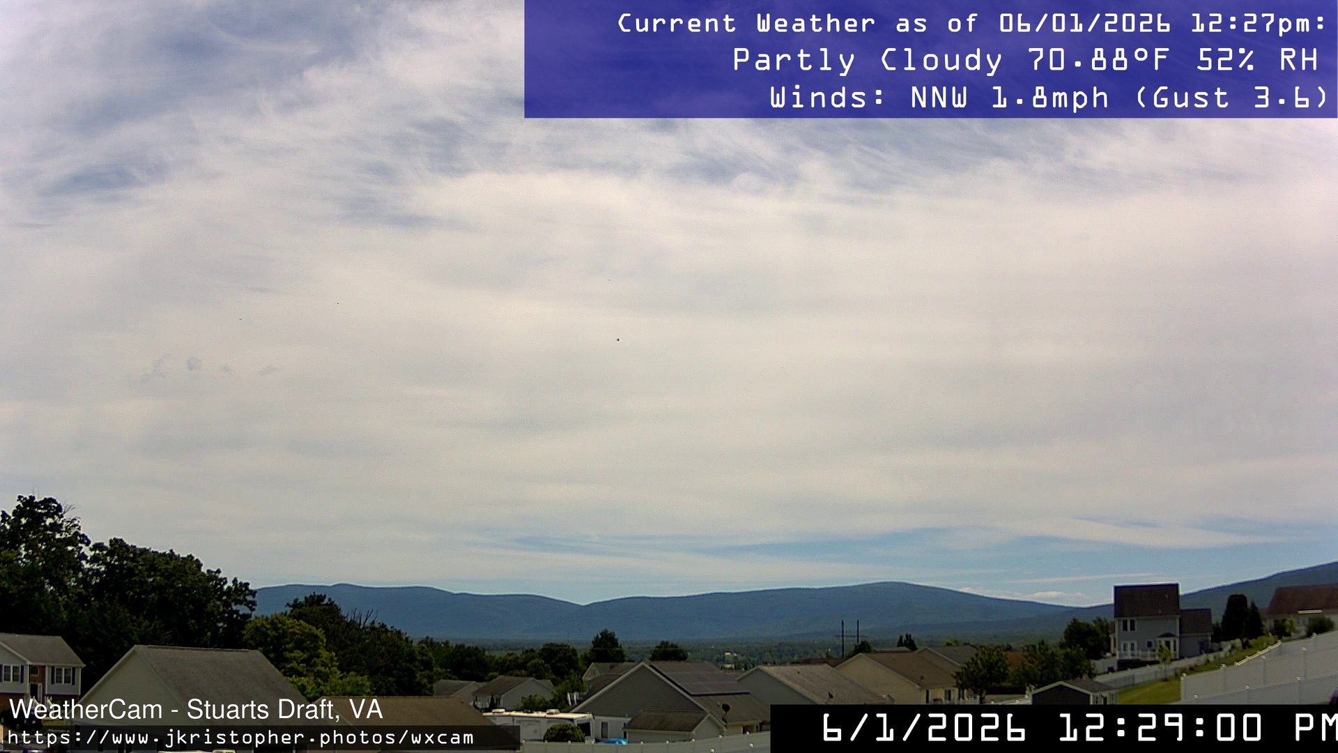
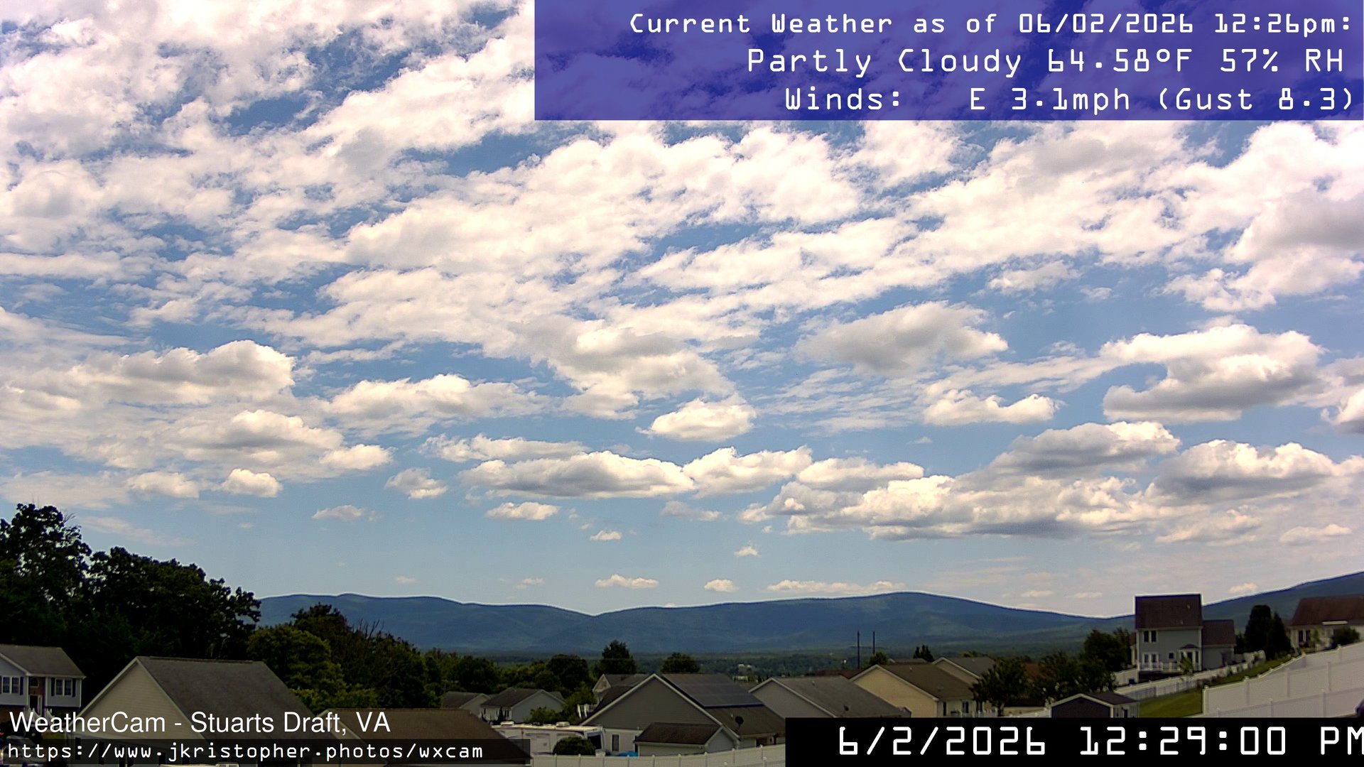
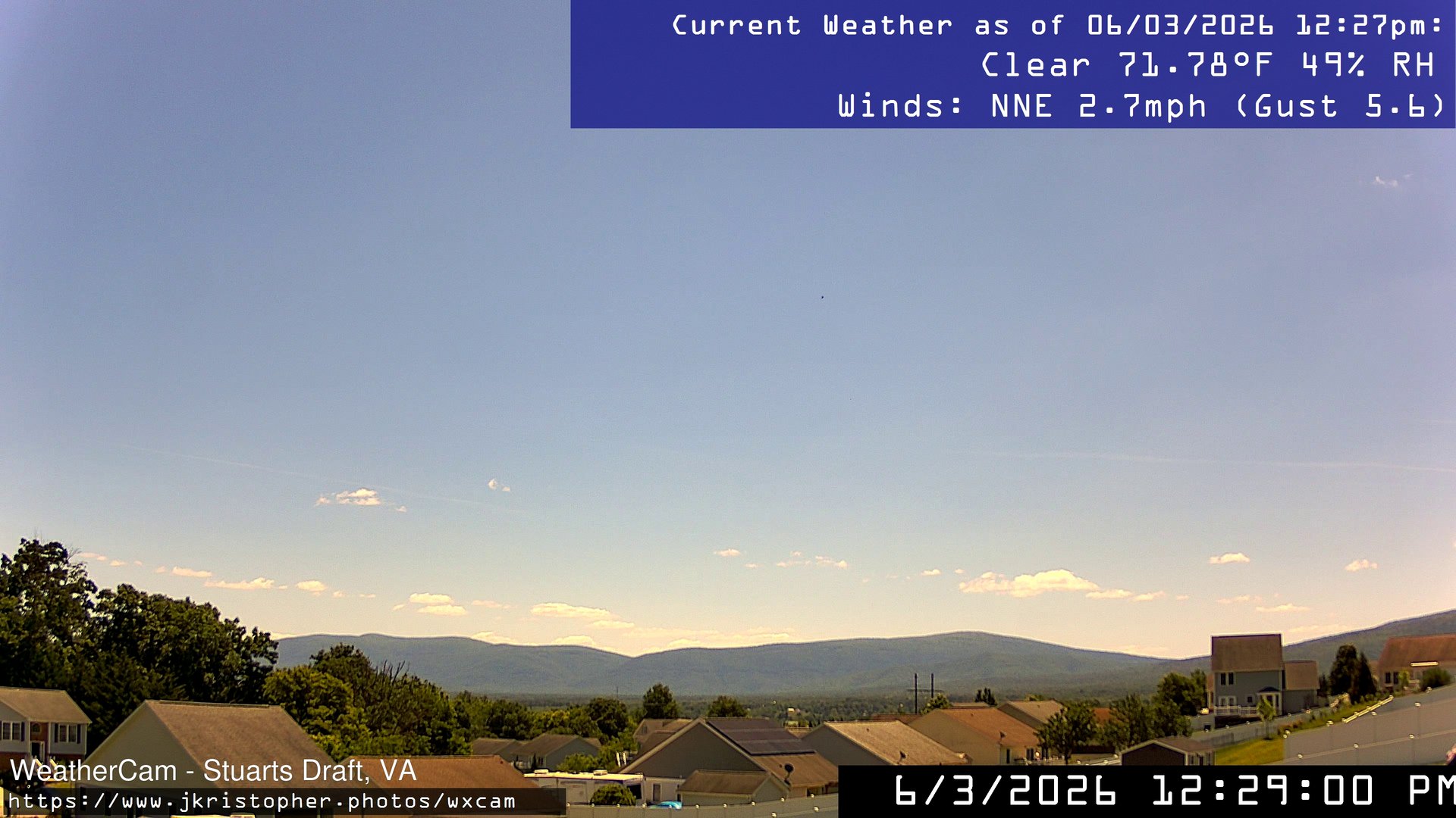
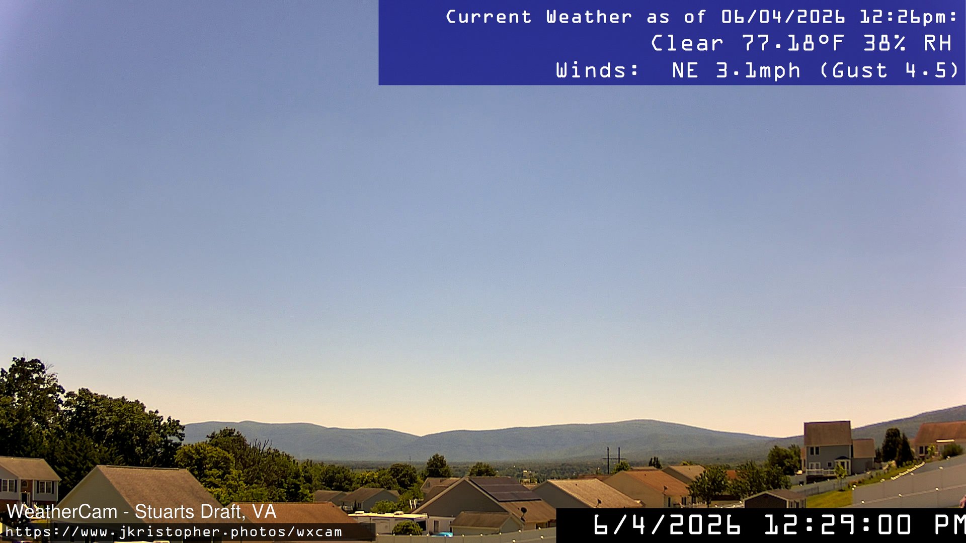
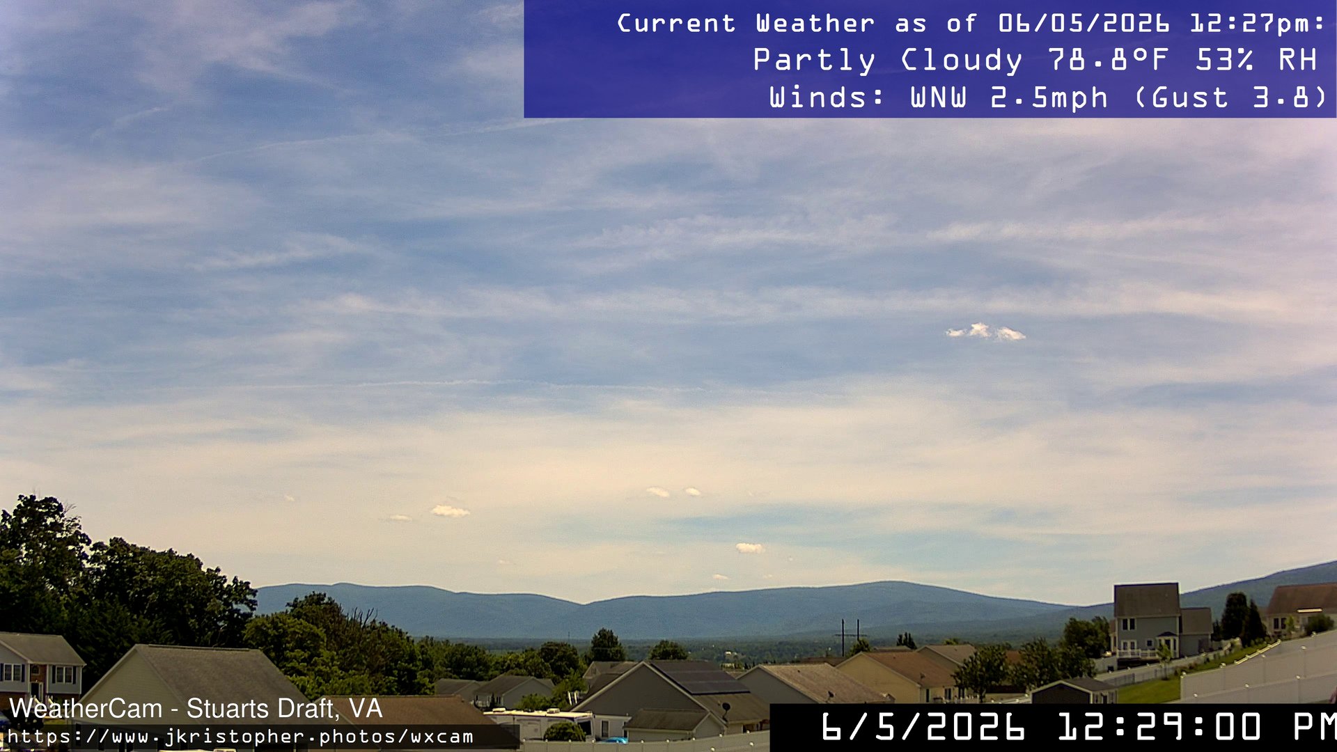
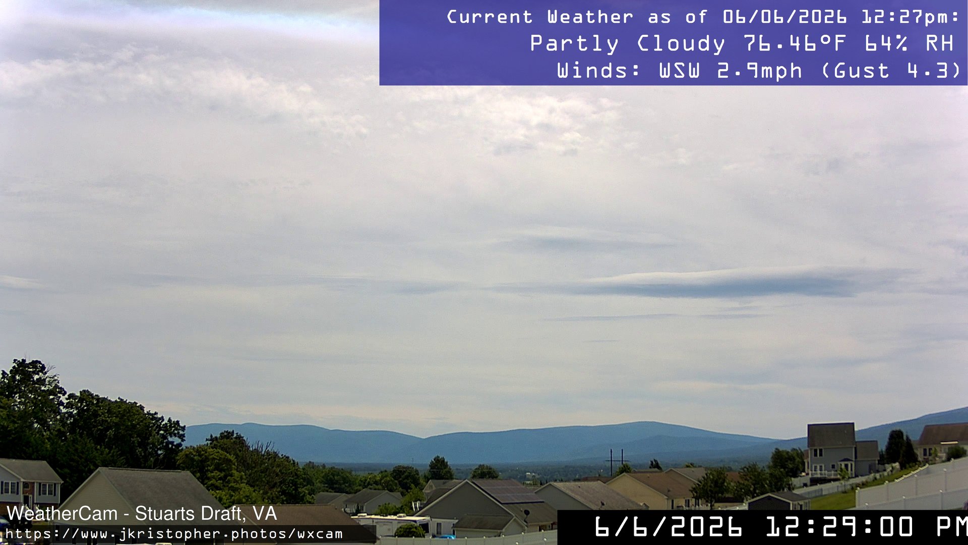
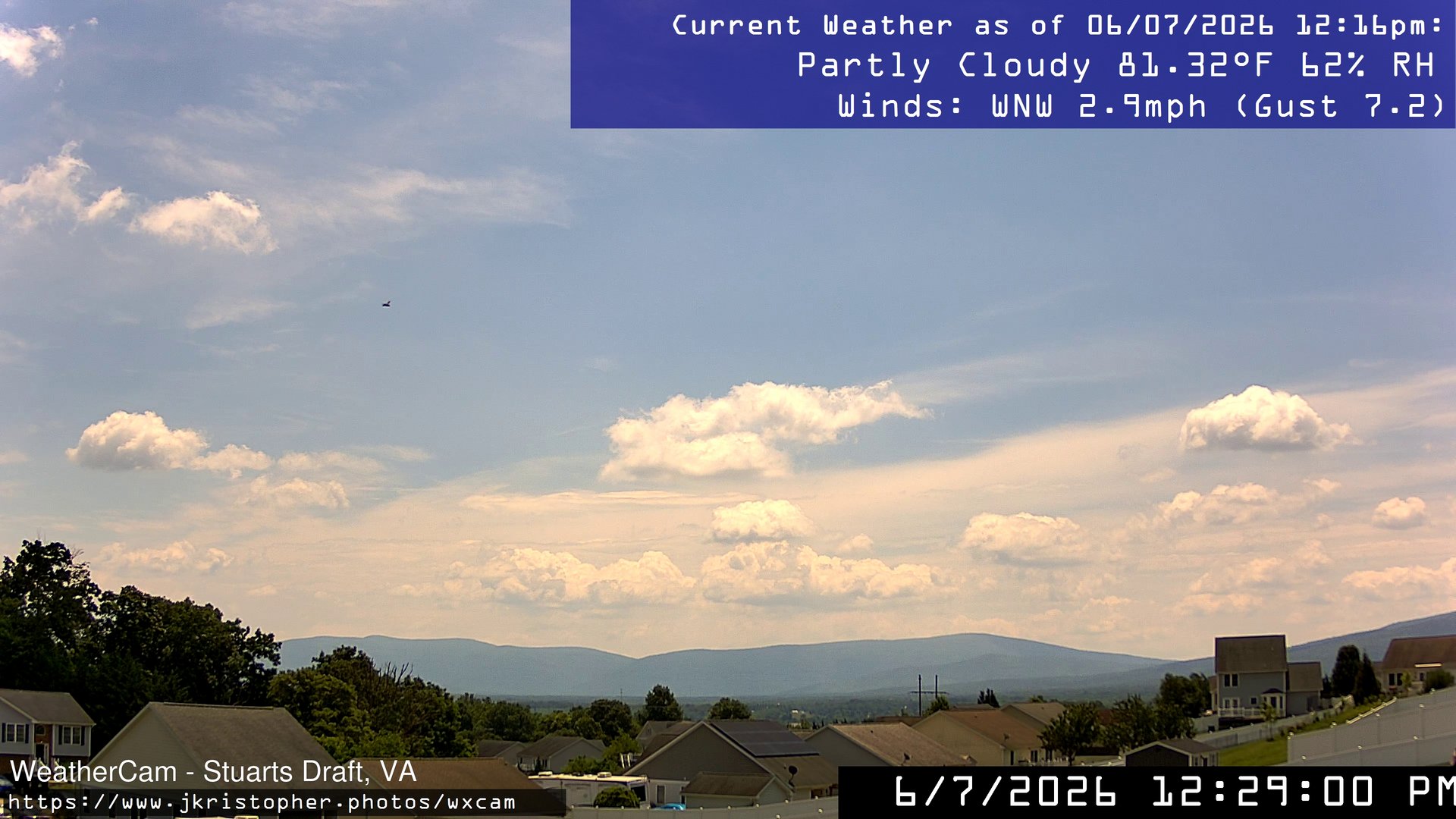
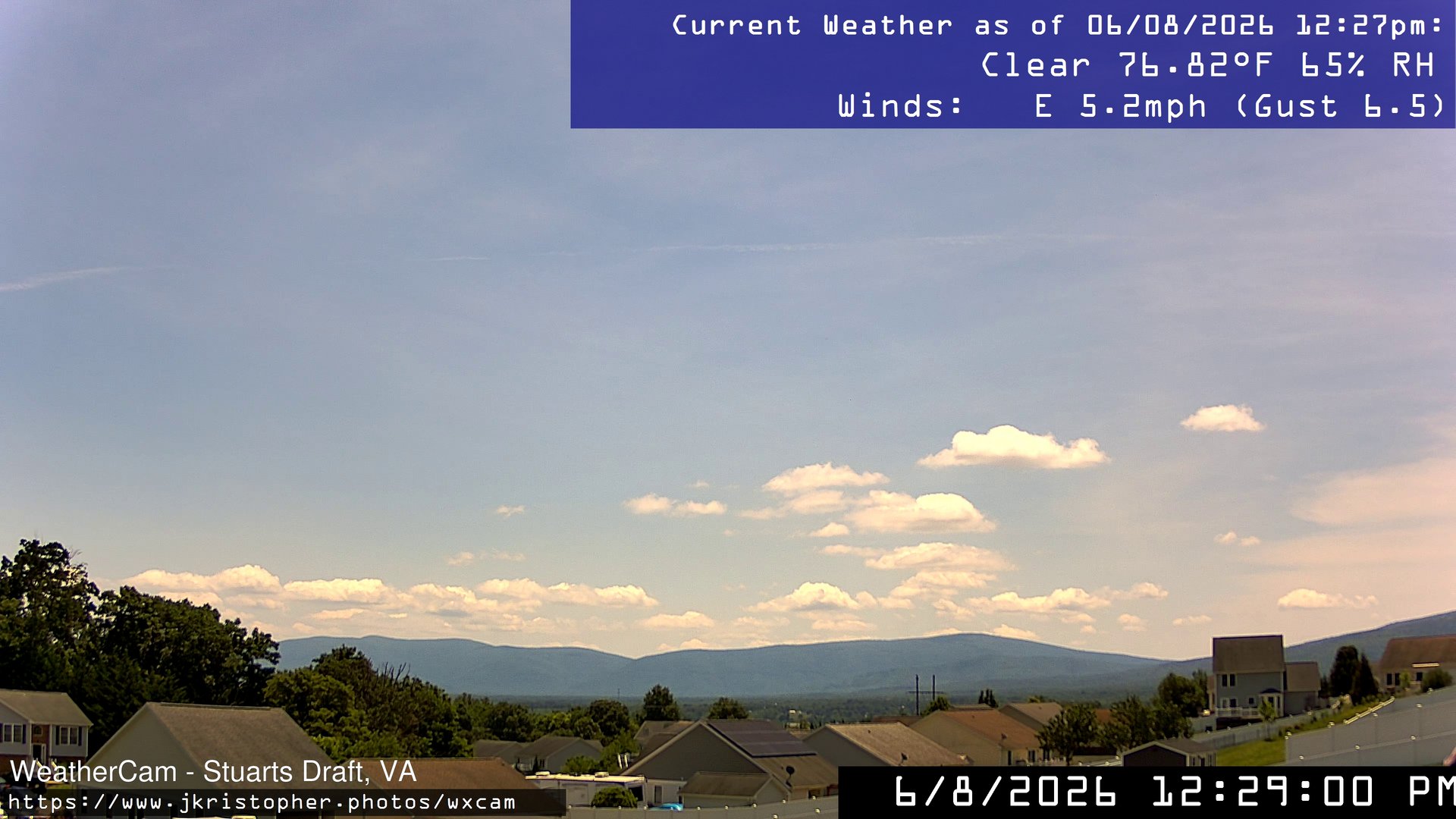
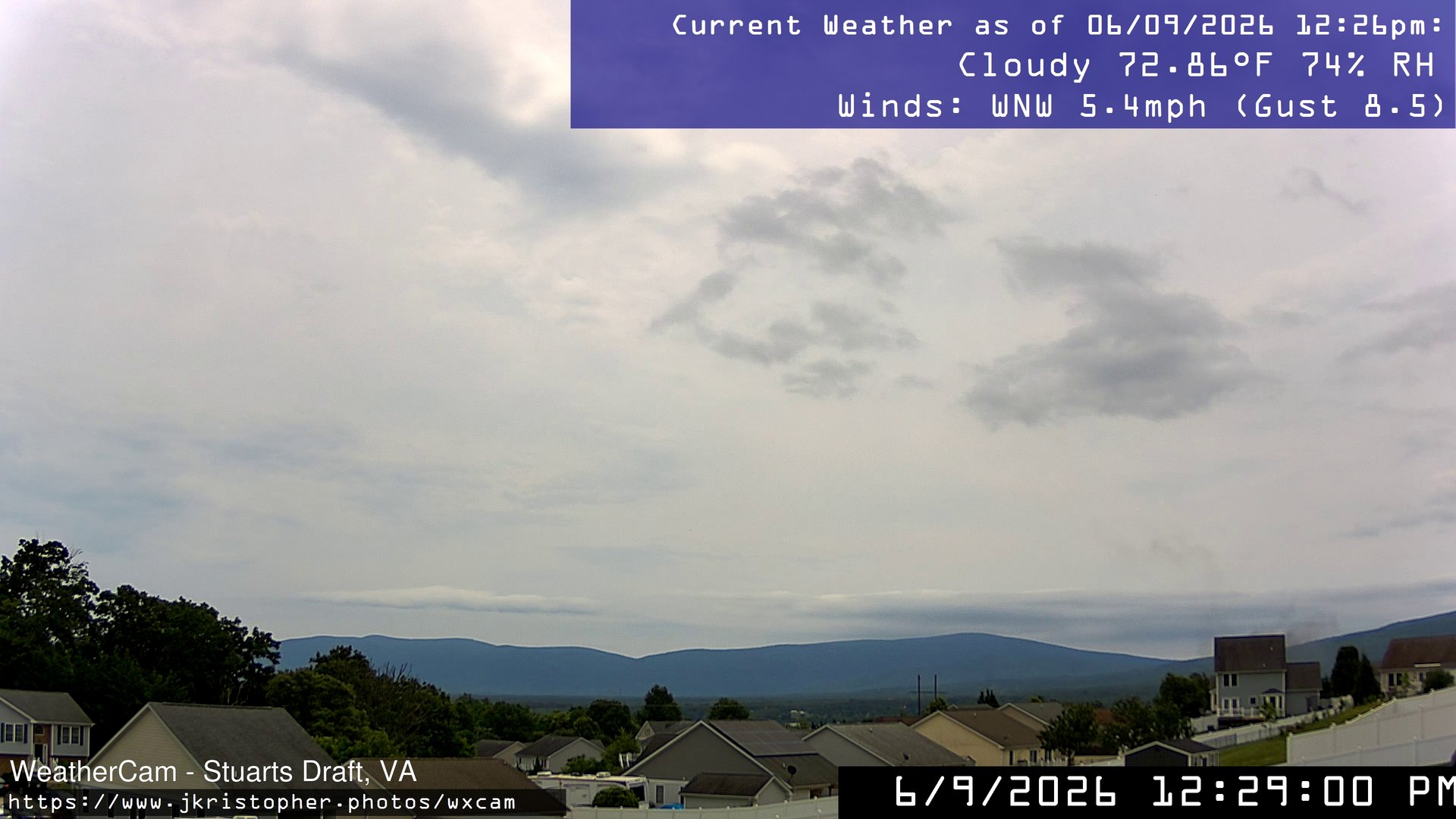
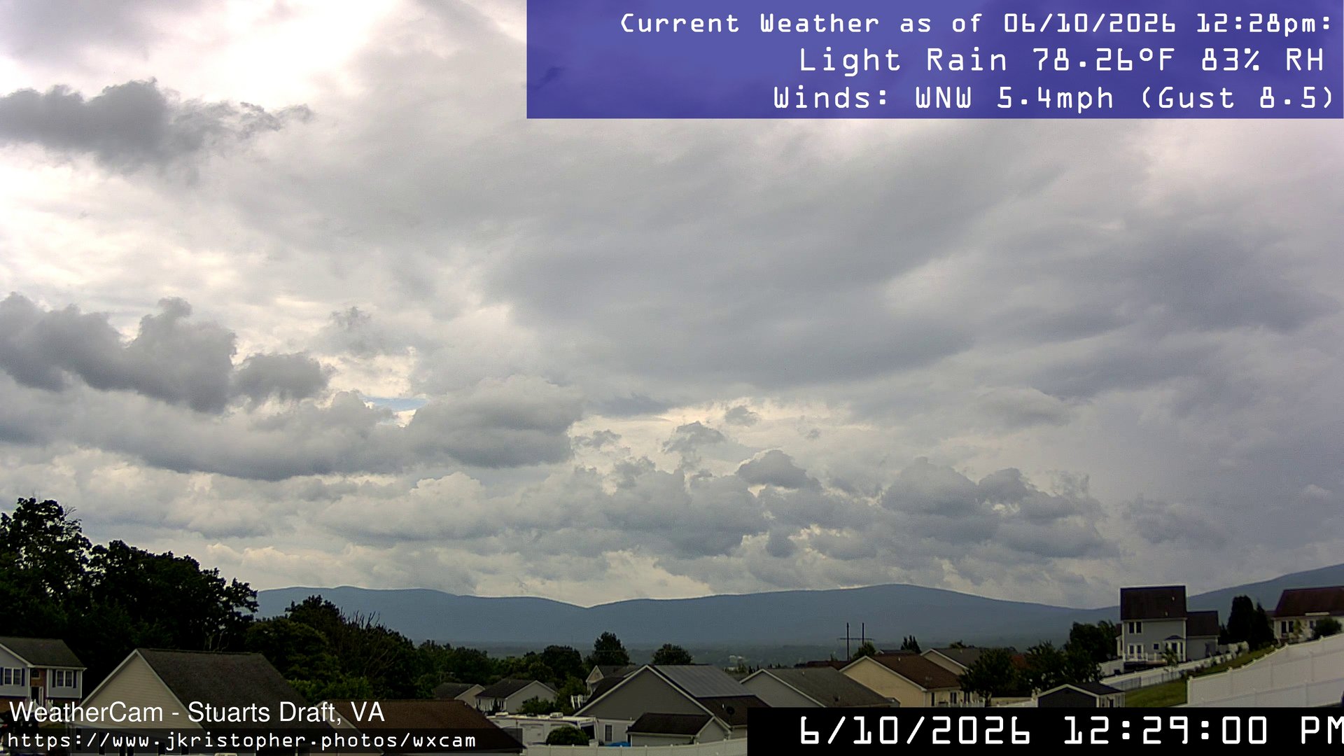
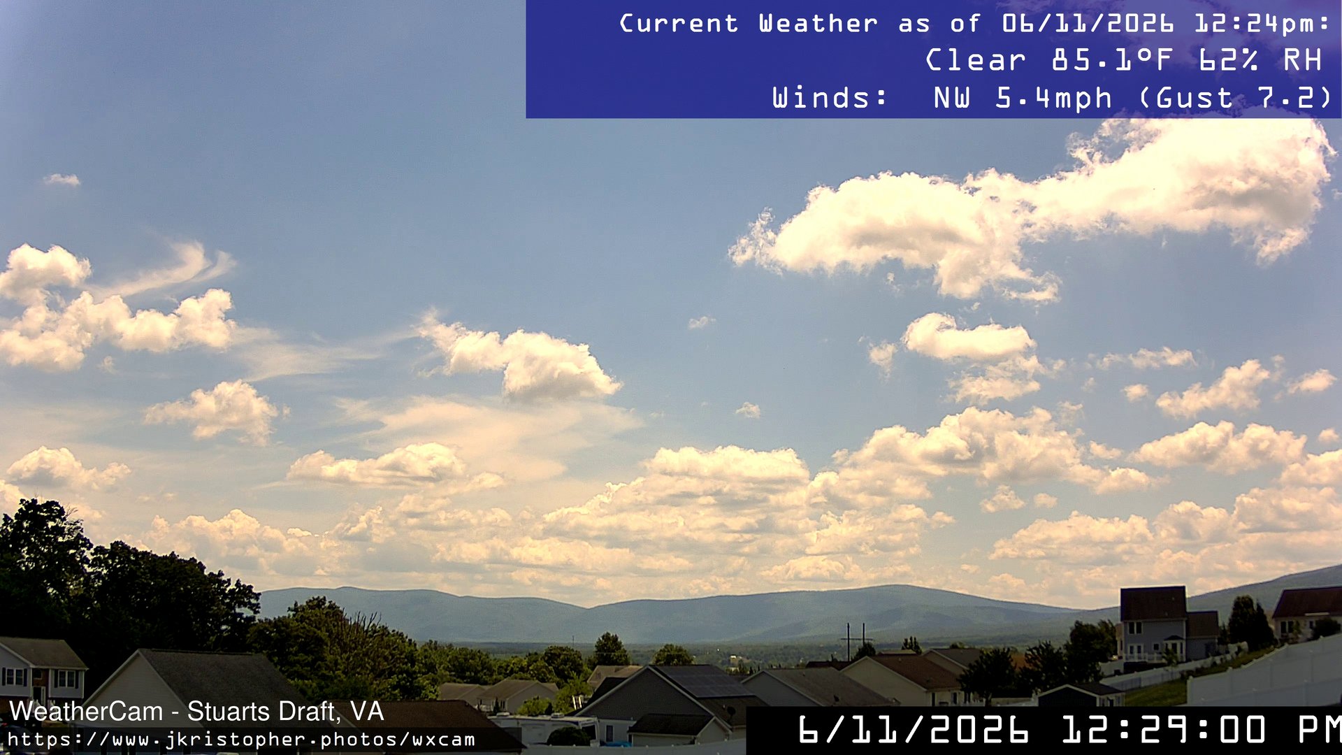
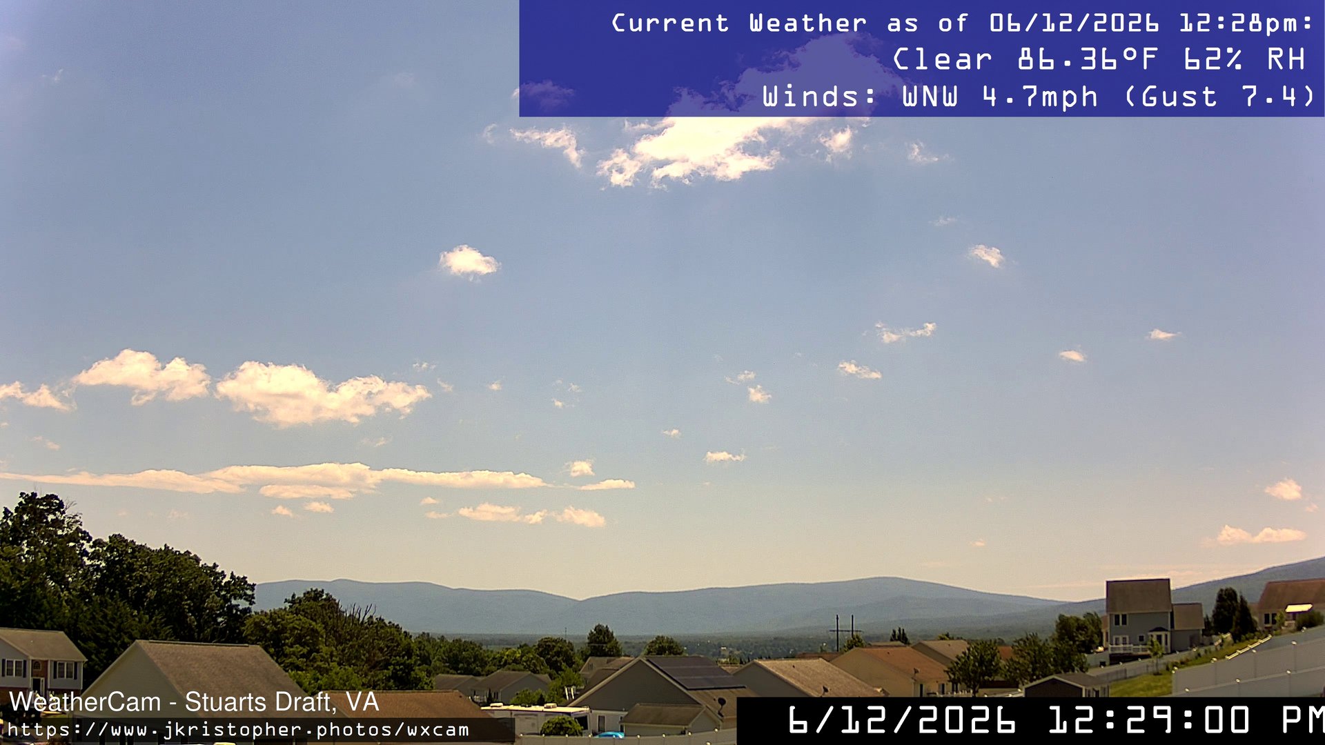
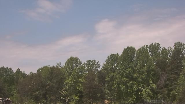
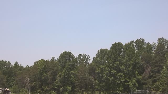
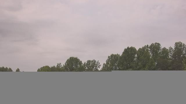
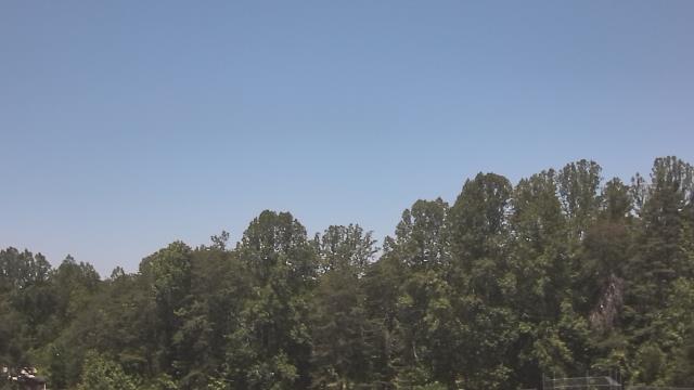
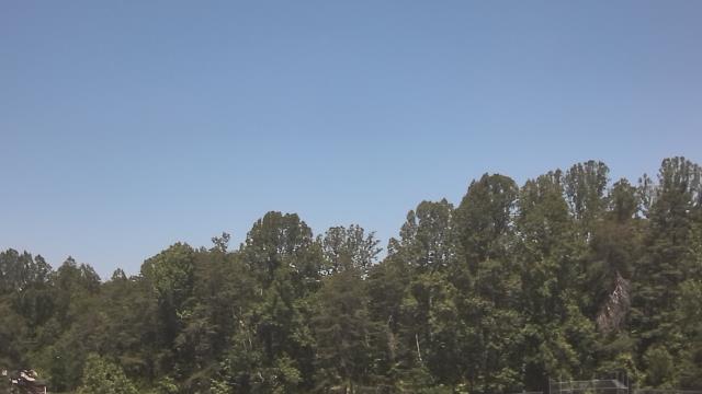
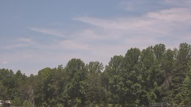
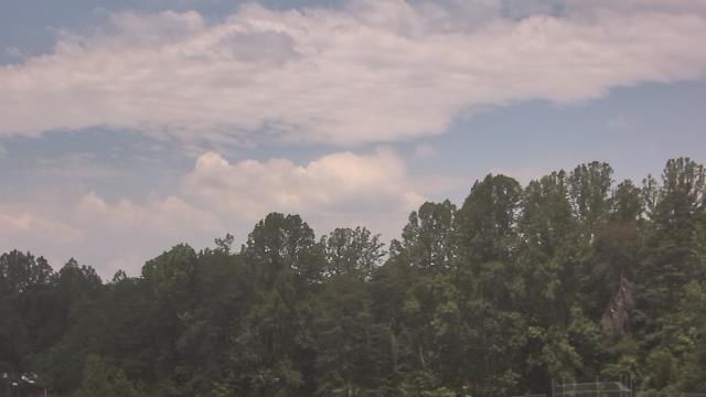
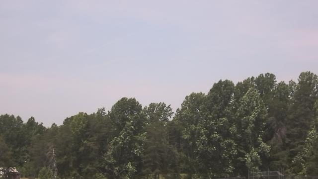
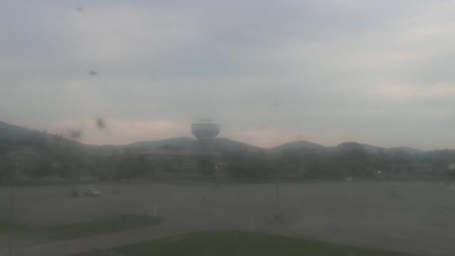
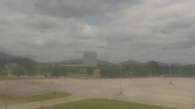
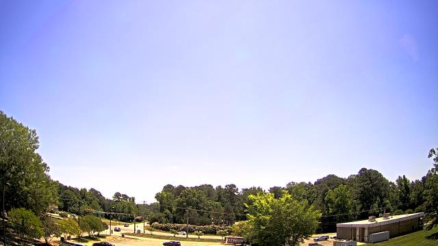
Stuarts Draft, Virginia, USA - 46.9 miles from Appomattox (historical): Blue Ridge Mountains - A view from Stuarts Draft, VA of the Blue Ridge Mountains in the distance.
Operator: J. Kristopher Photography
Operator: J. Kristopher Photography

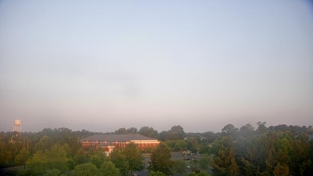
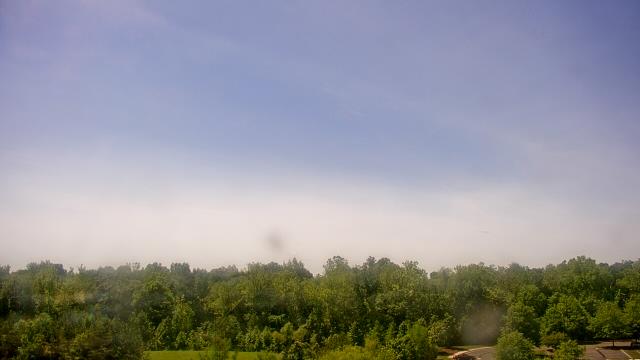
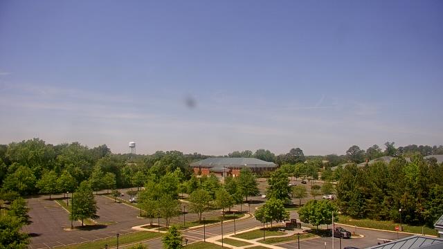
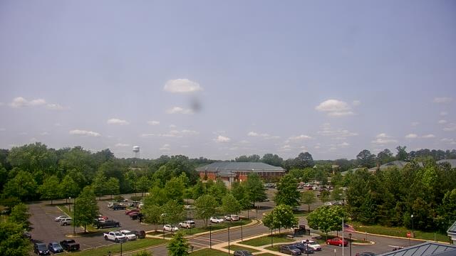
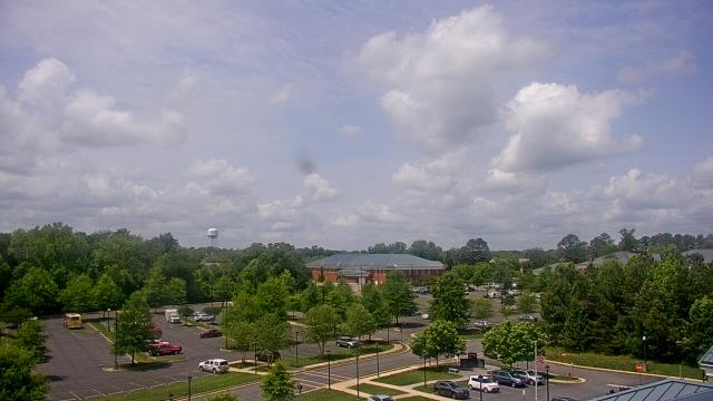
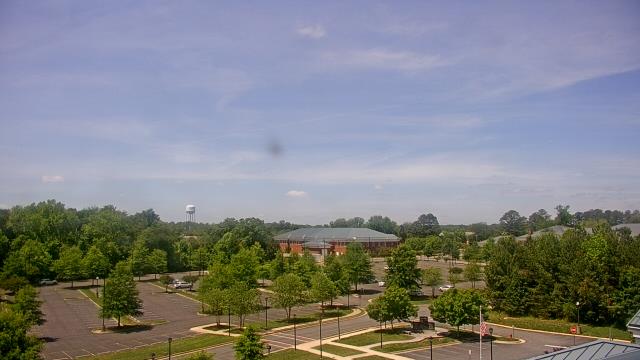
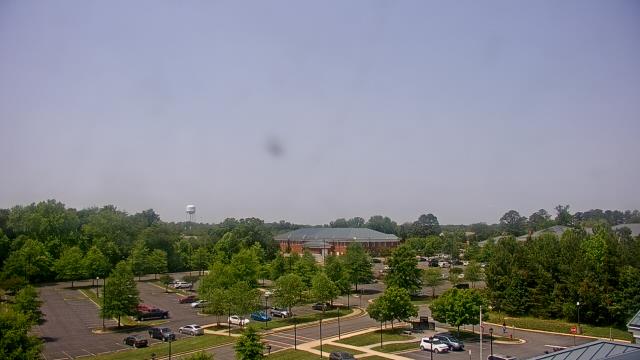
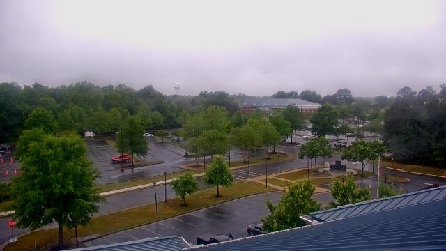
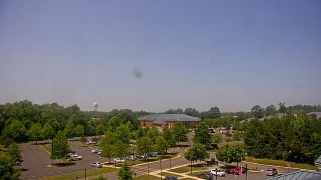
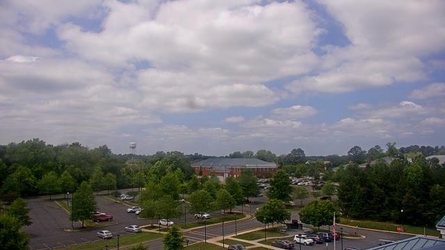
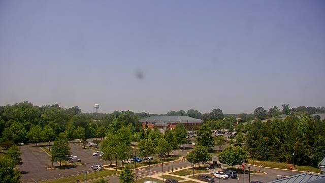
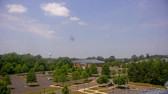
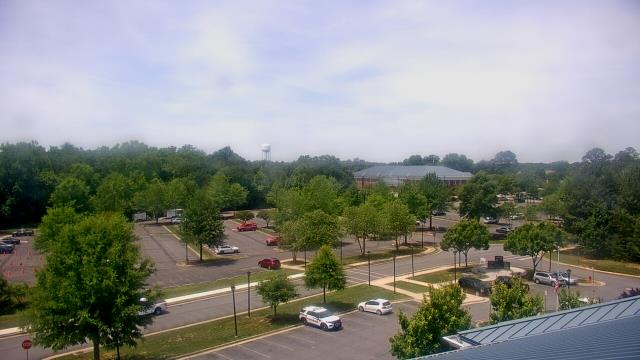
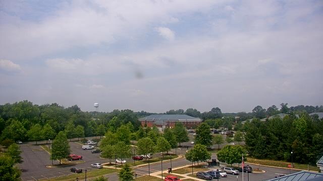
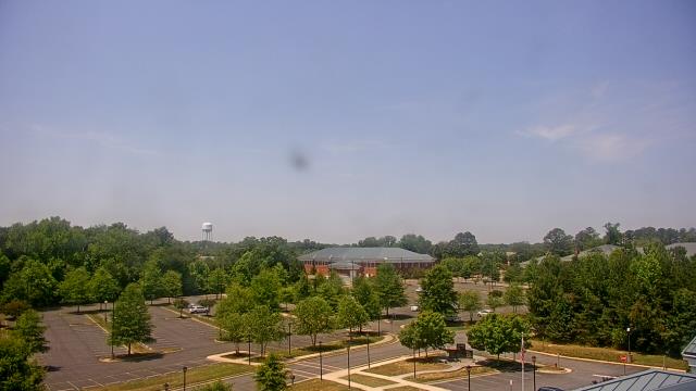
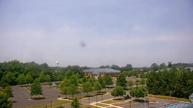
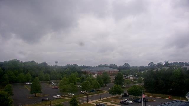
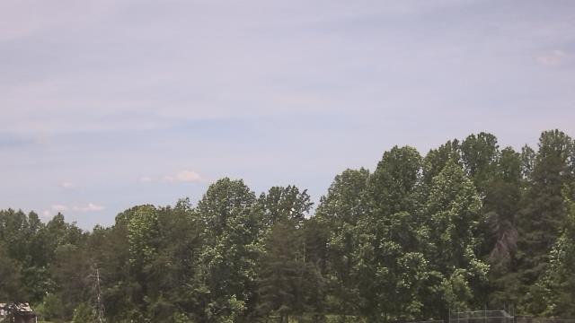
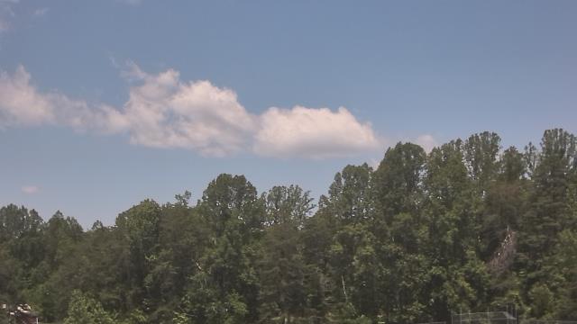
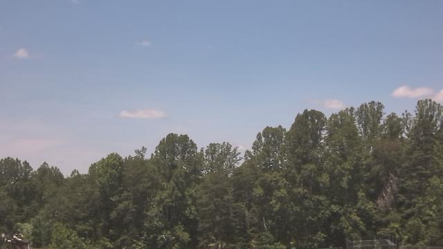
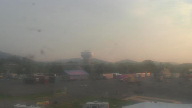
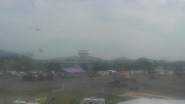
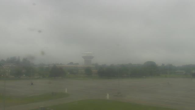
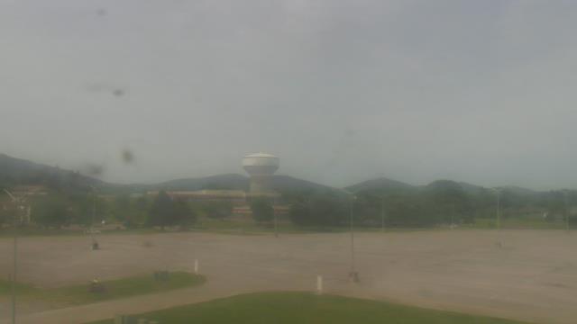
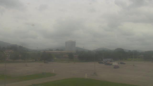
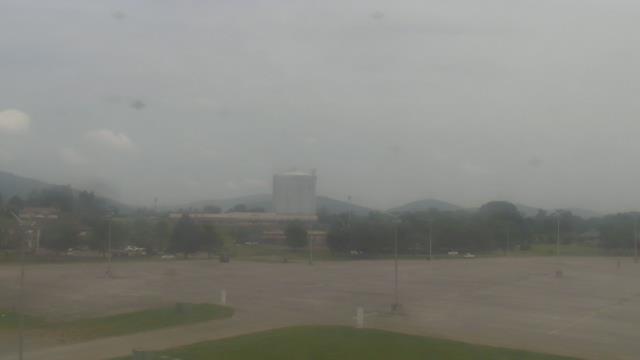
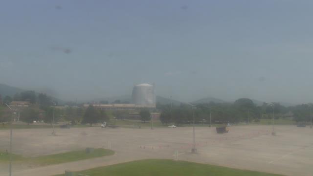
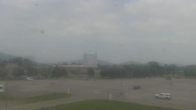
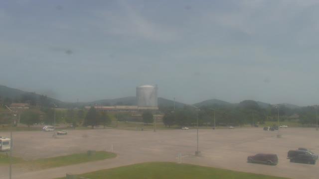
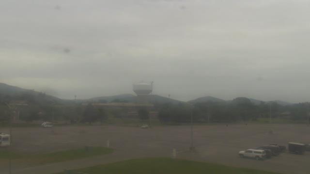
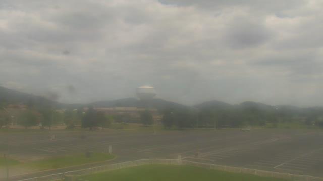
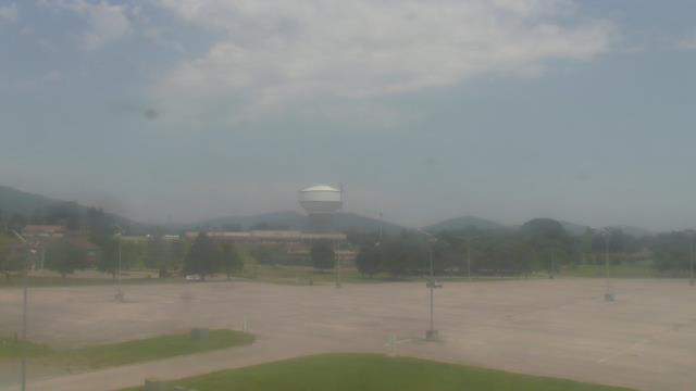
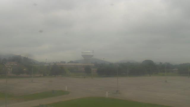
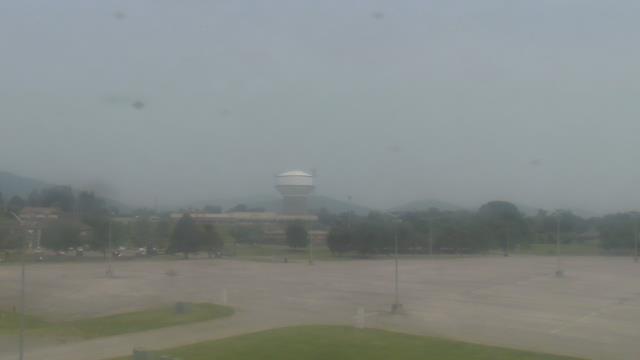
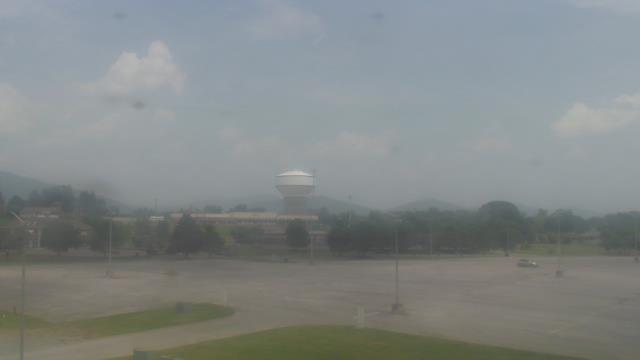
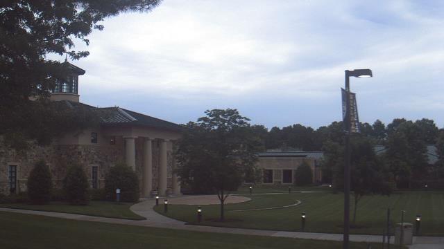
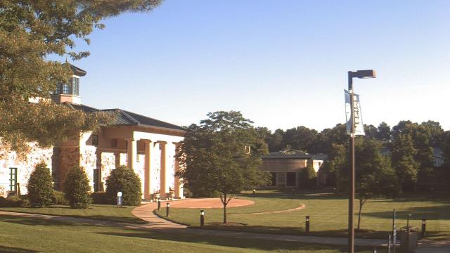
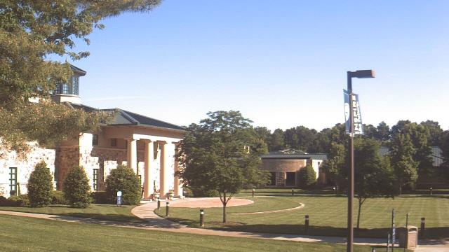
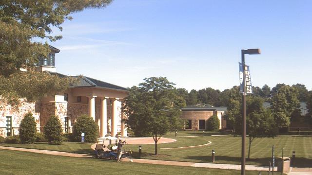
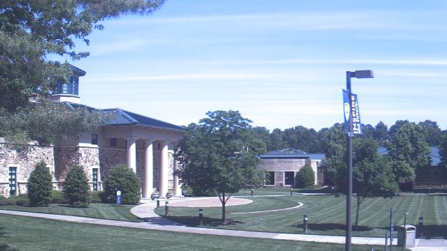
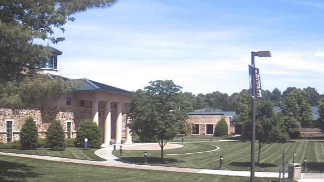
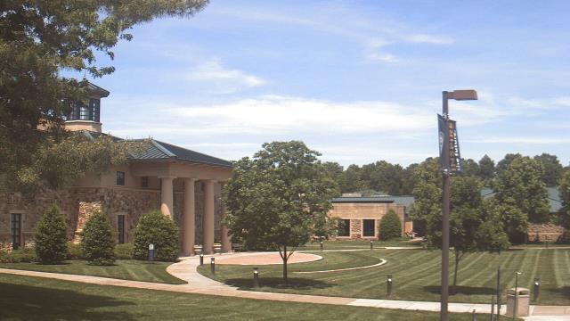
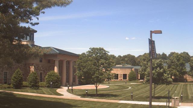
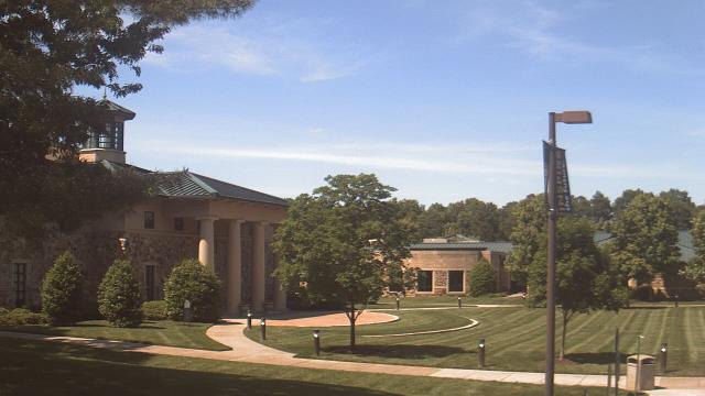
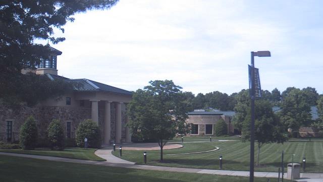
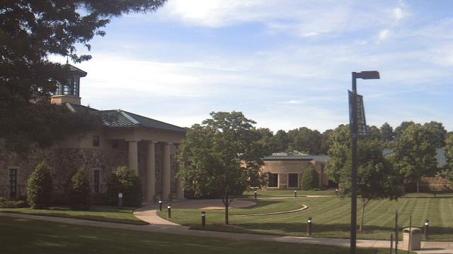
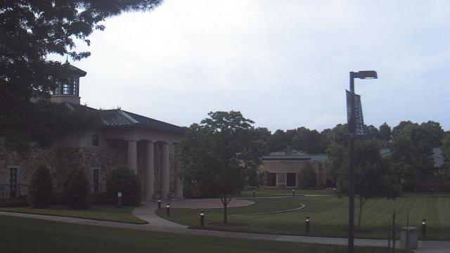
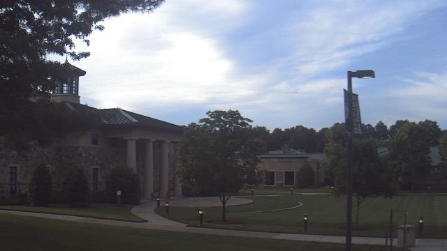
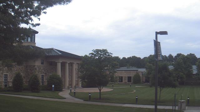
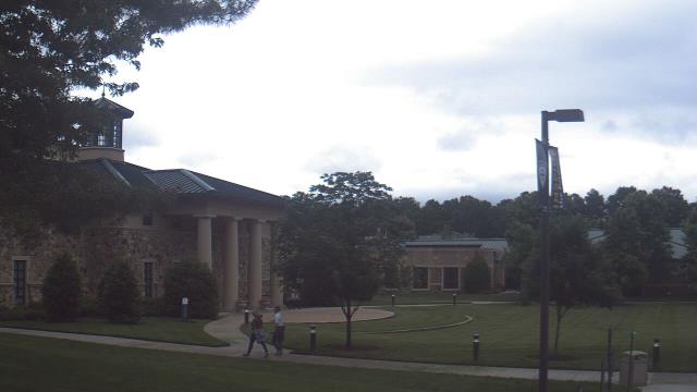
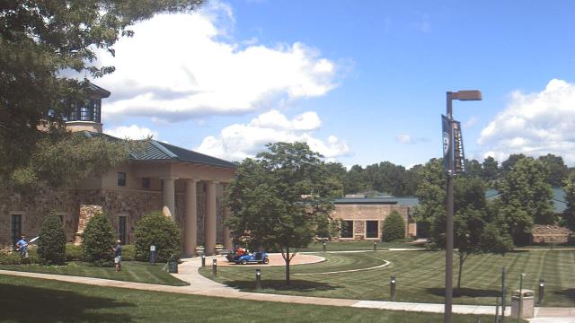
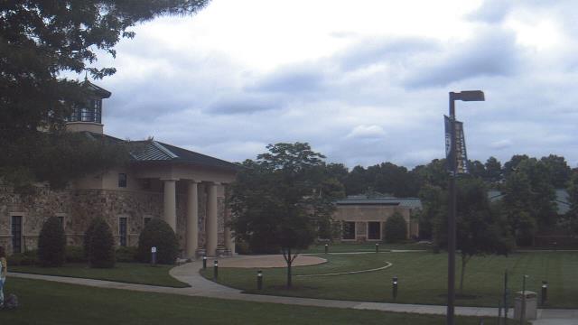
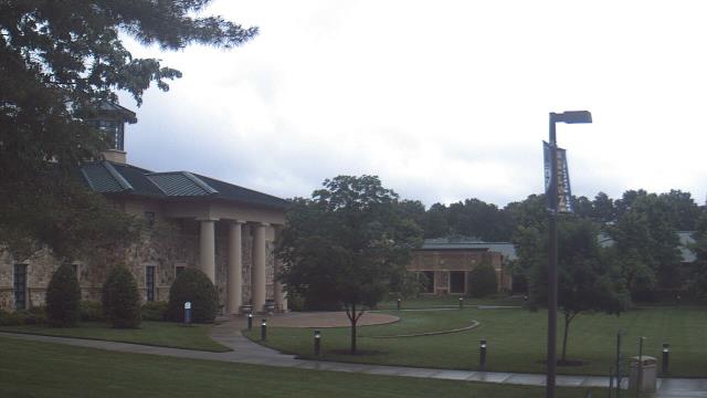
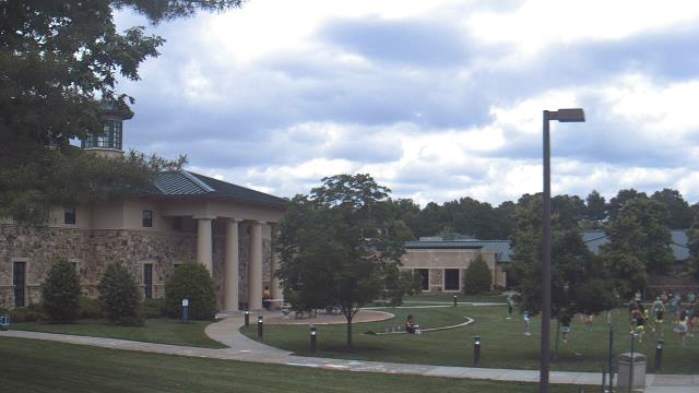
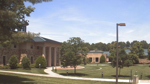
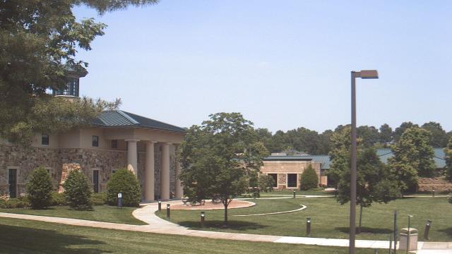
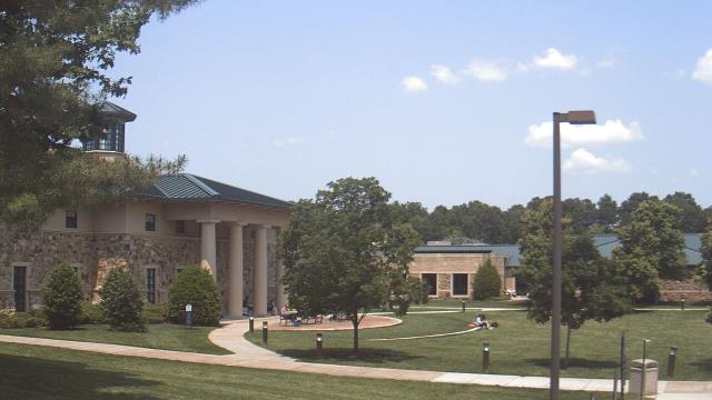
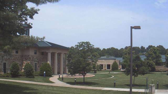
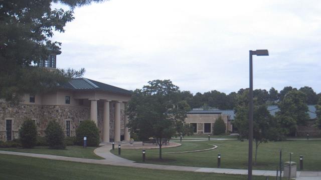
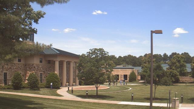
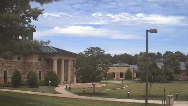
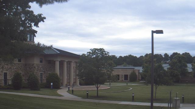
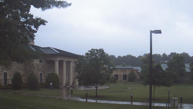
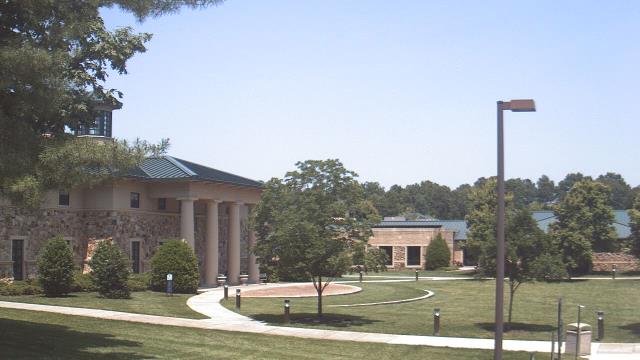
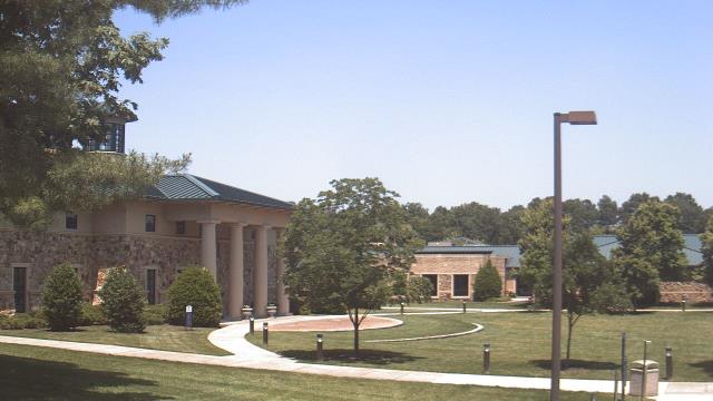
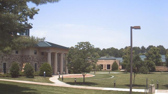
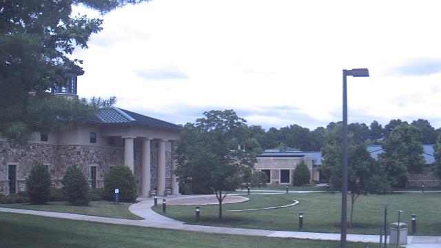
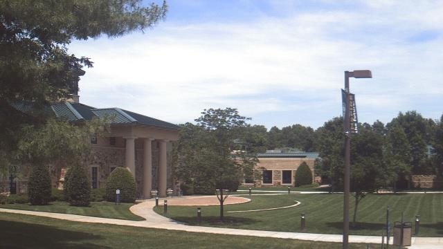
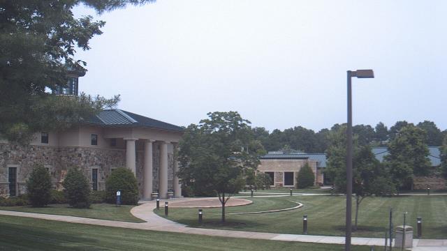
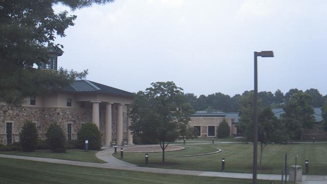
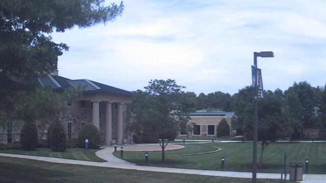
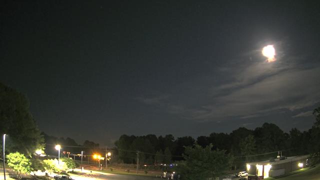
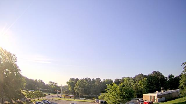
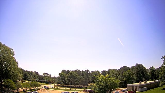
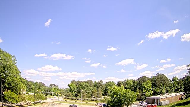
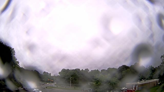
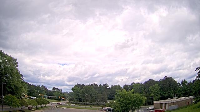
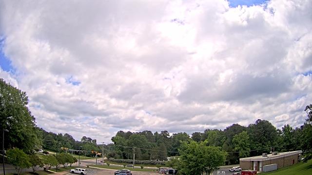
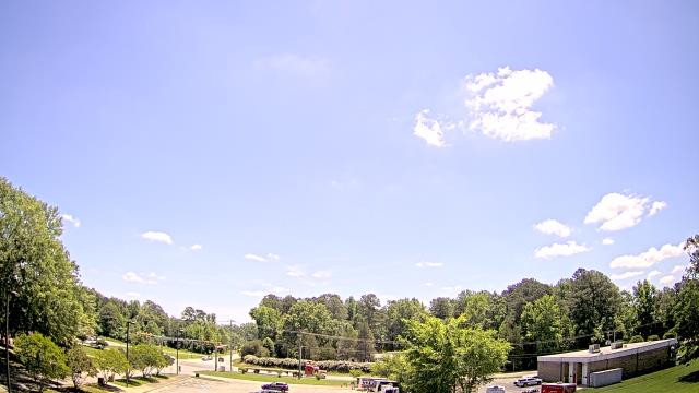
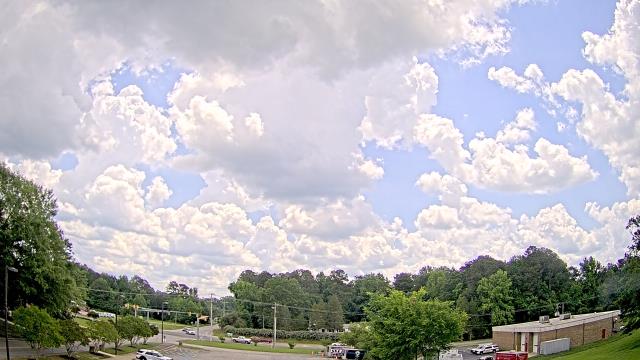
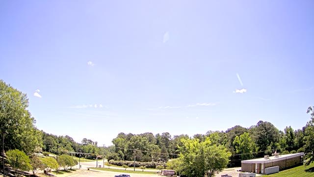
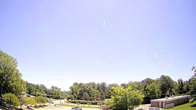
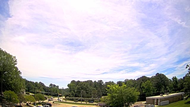
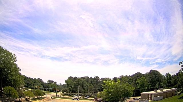
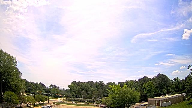
Goochland, Virginia, USA - 48.7 miles from Appomattox (historical): Byrd Elementary School - A webcam in Goochland, Virginia - camera location: Byrd Elementary School.
Operator: WeatherBug
Operator: WeatherBug
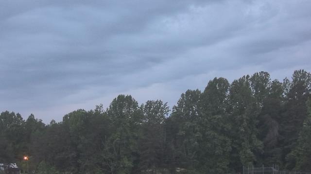


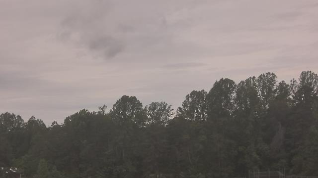
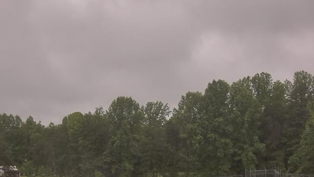

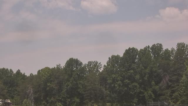

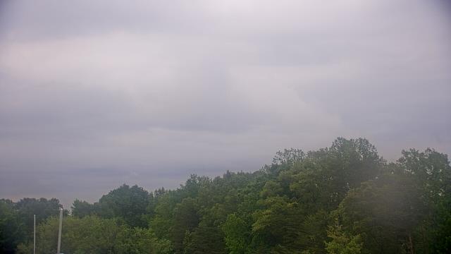
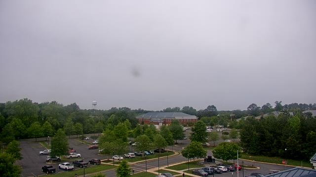
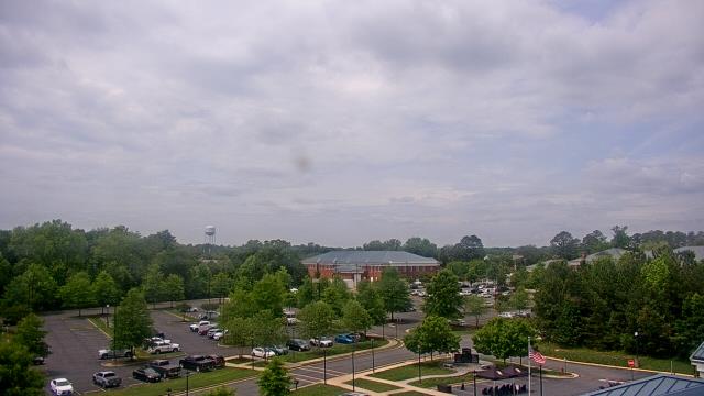
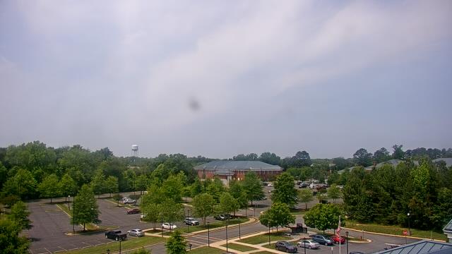
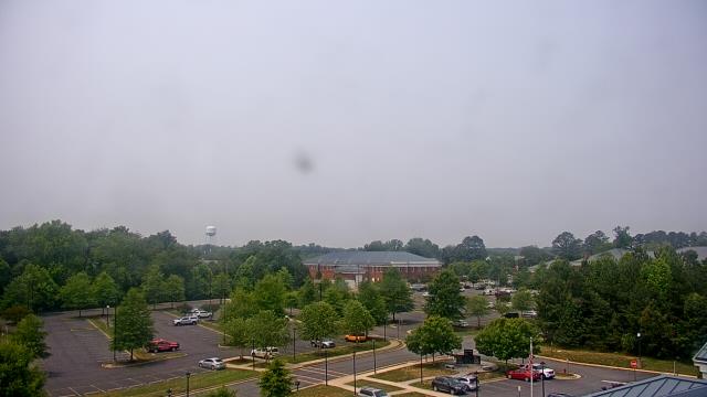
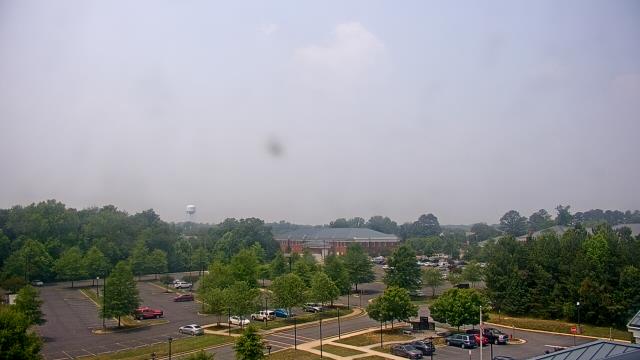
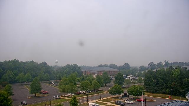
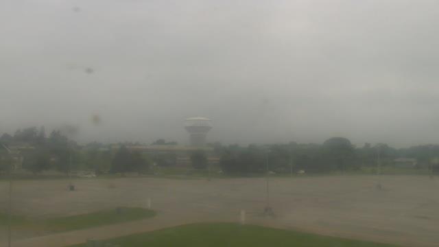
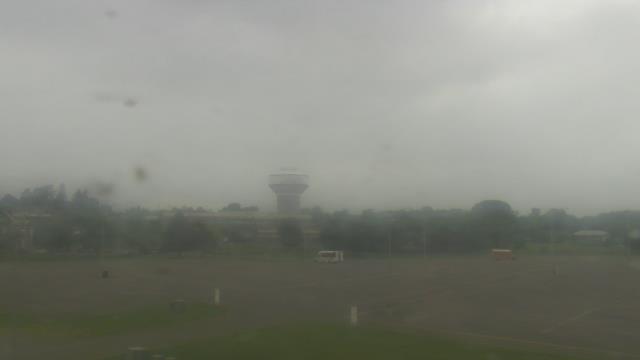
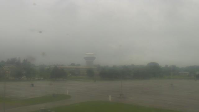
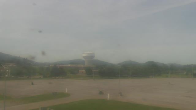
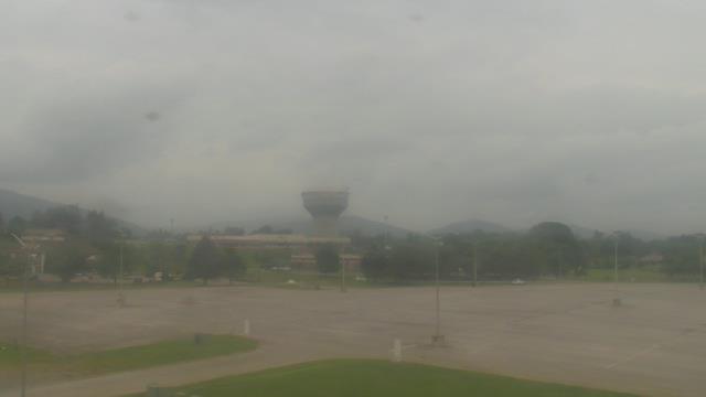
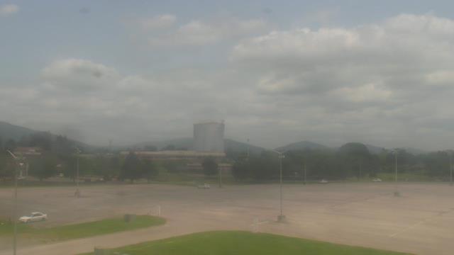
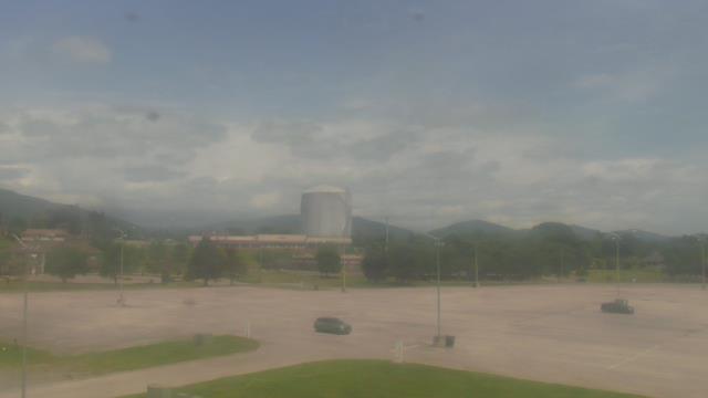
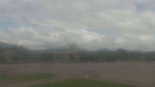
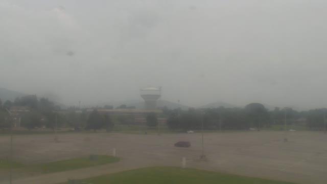
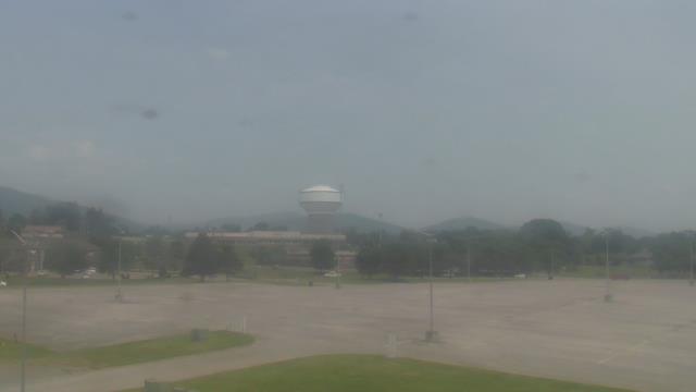
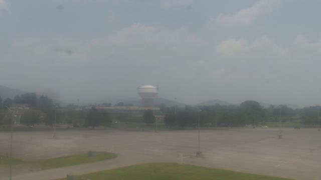
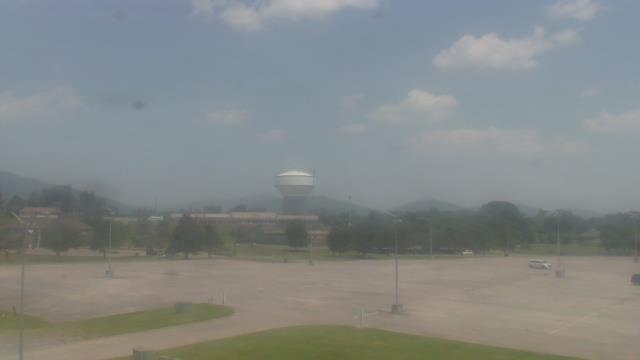
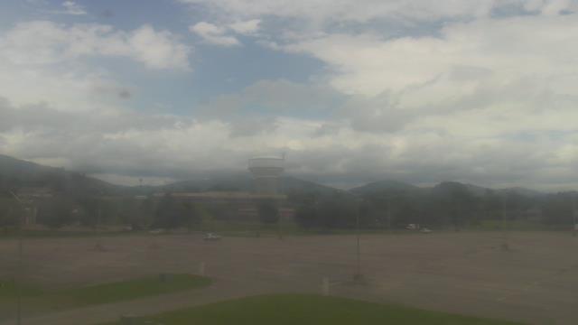
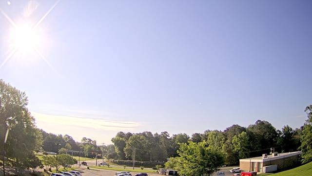
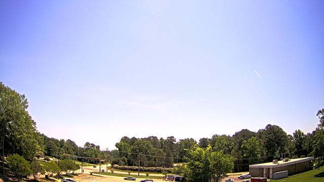
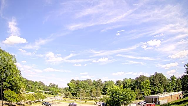
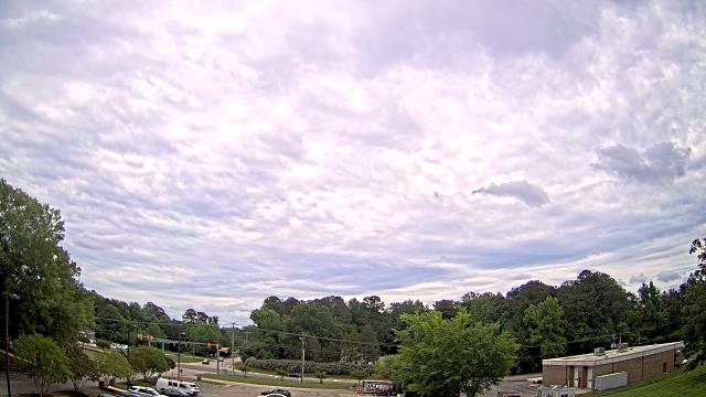
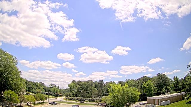
Buchanan, Virginia, USA - 51.6 miles from Appomattox (historical): James River High School - A webcam in Buchanan, Virginia - camera location: James River High School.
Operator: WeatherBug
Operator: WeatherBug


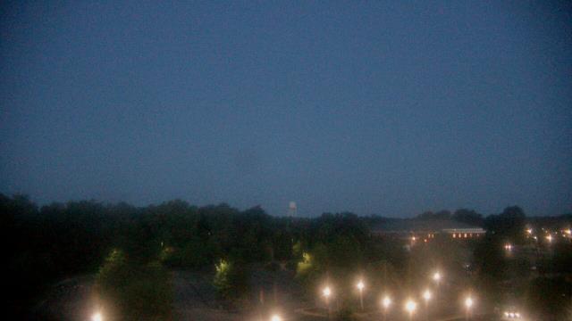
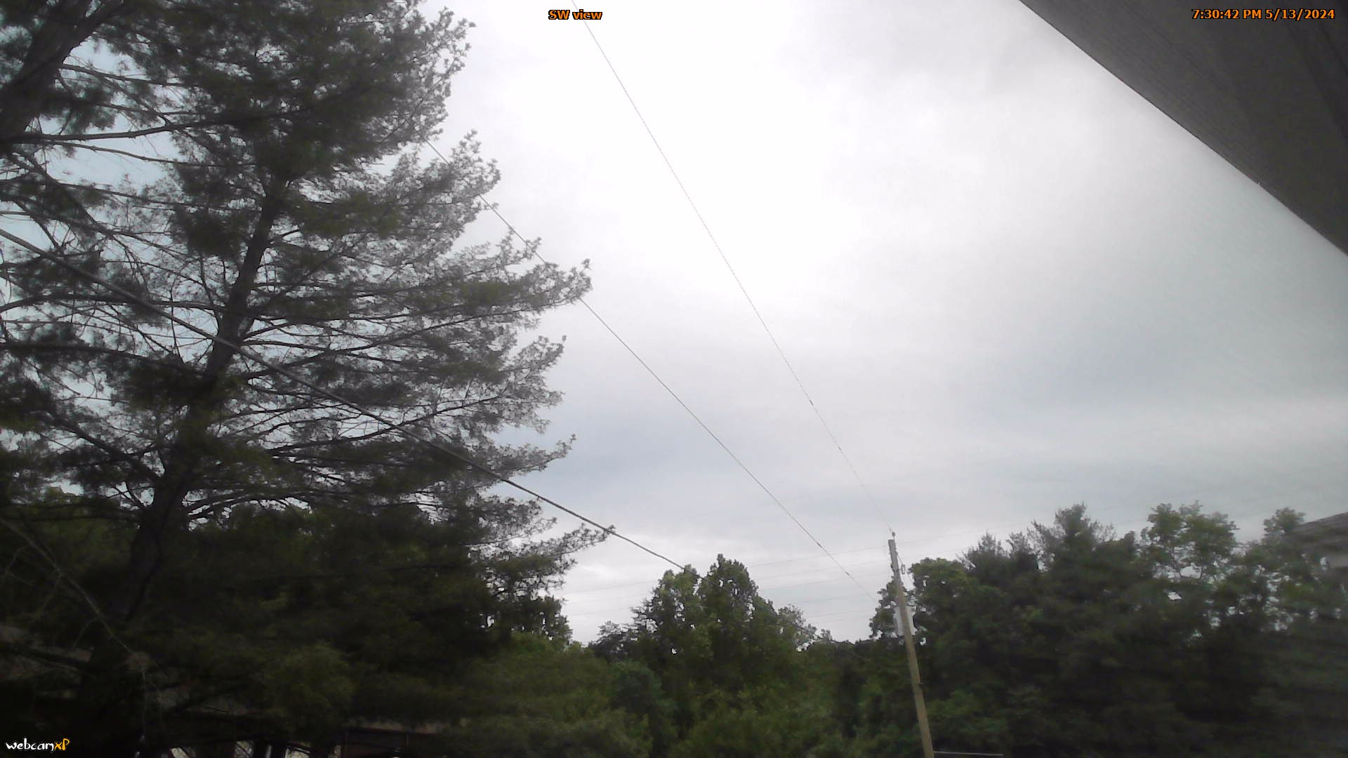
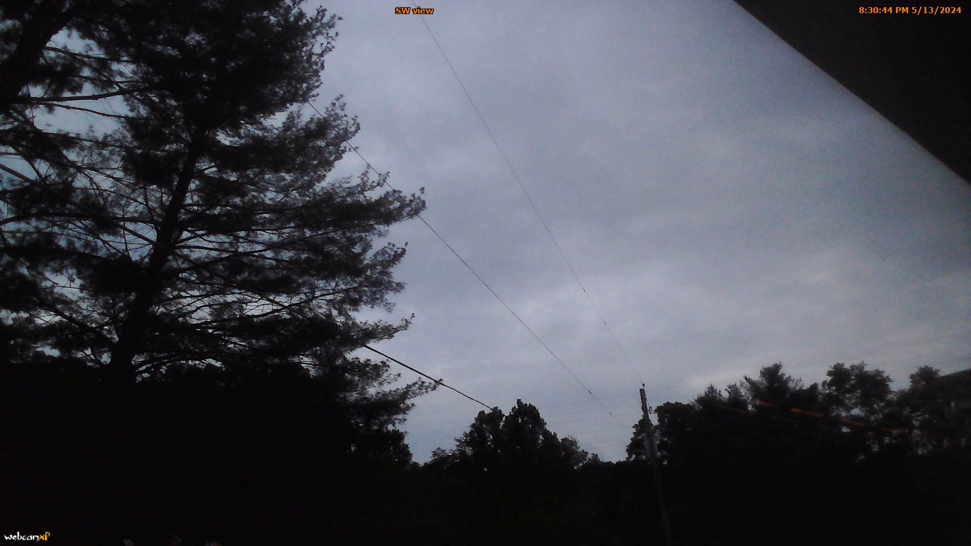
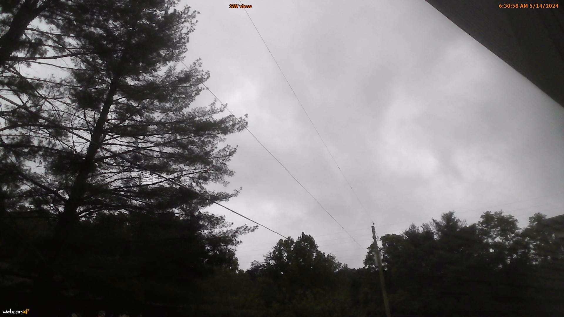
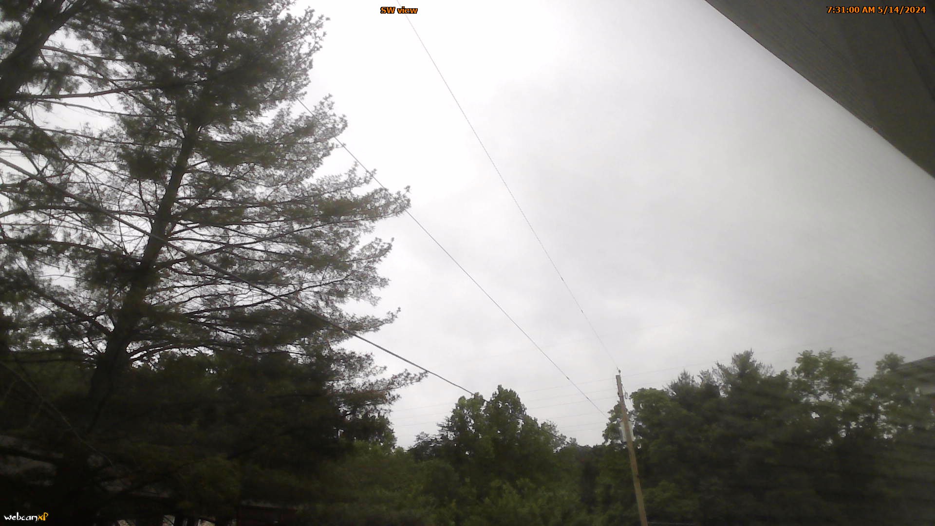
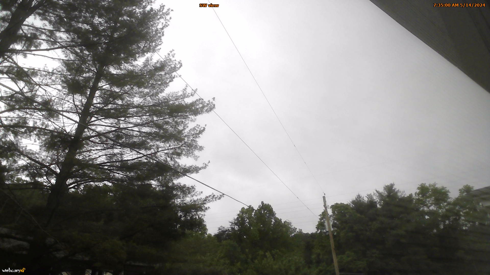
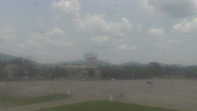
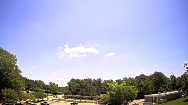
Roanoke, Virginia, USA - 63.3 miles from Appomattox (historical): Mountain View - Looking SW over Appalachians near Blue Ridge Pkwy.
Operator: Roanoke Weather Page
Operator: Roanoke Weather Page


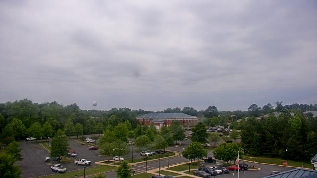
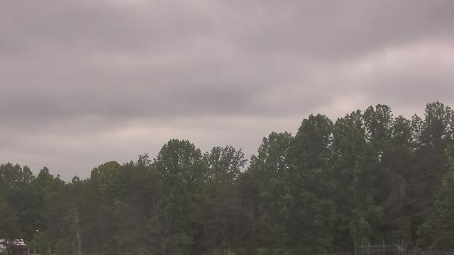
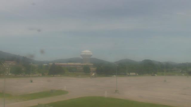
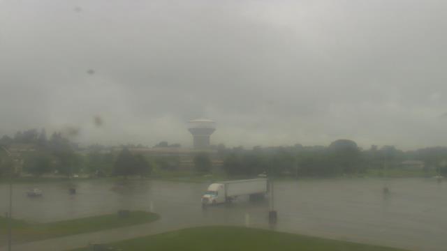
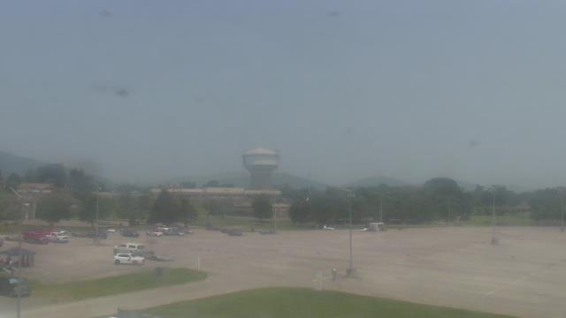
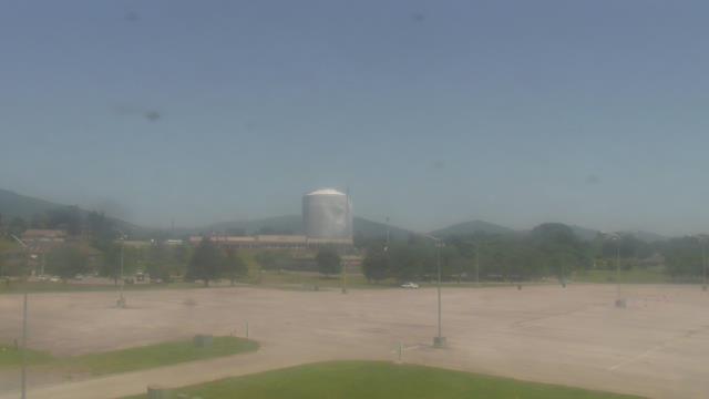
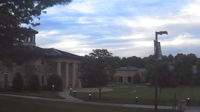
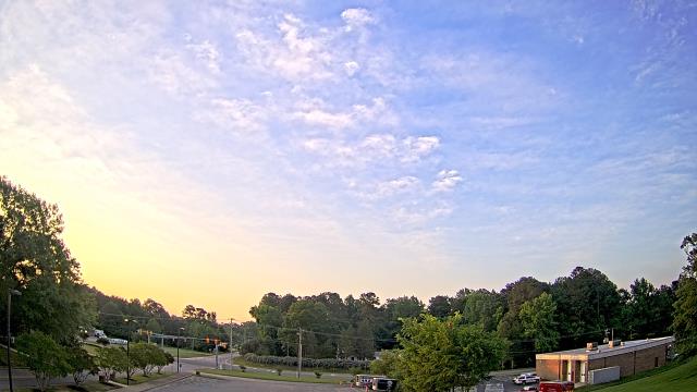
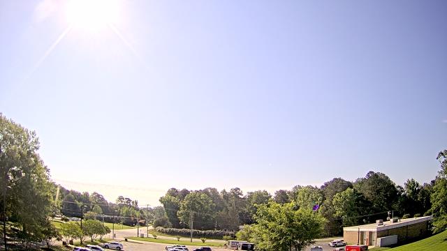
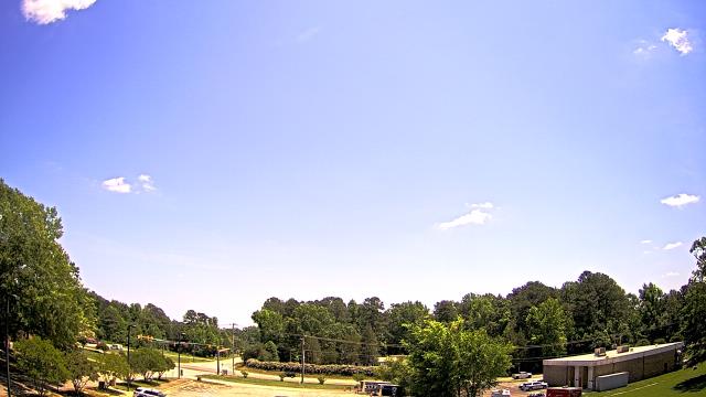
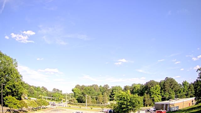
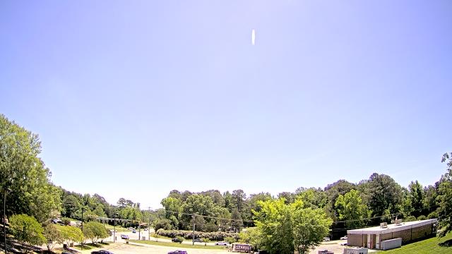
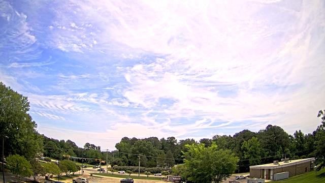
Salem, Virginia, USA - 69.4 miles from Appomattox (historical): City of Salem Civic Center - A webcam in Salem, Virginia - camera location: City of Salem Civic Center.
Operator: WeatherBug
Operator: WeatherBug
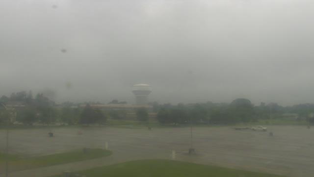
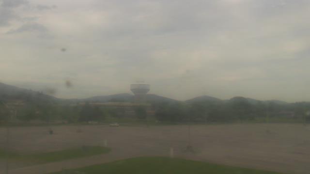


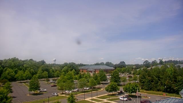
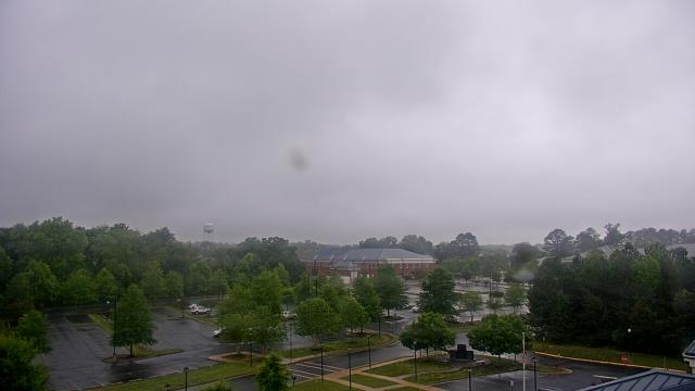
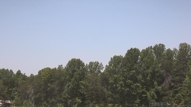
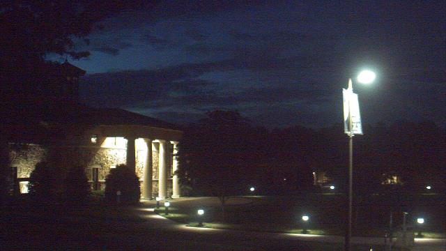
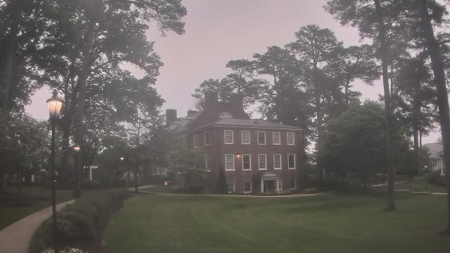
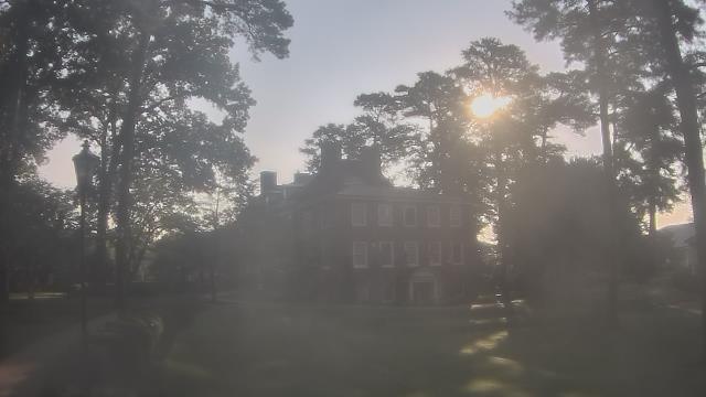
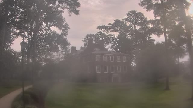
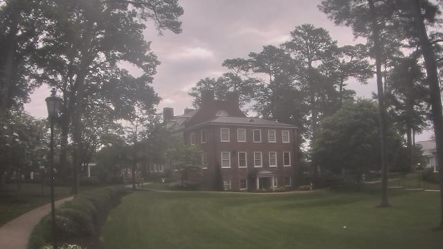
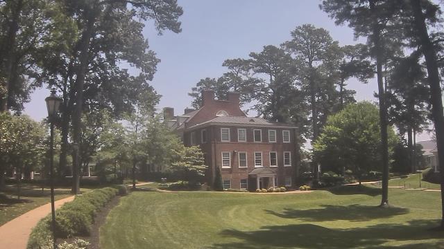
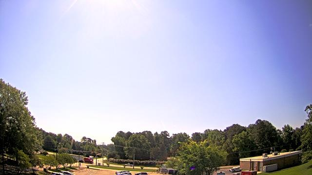
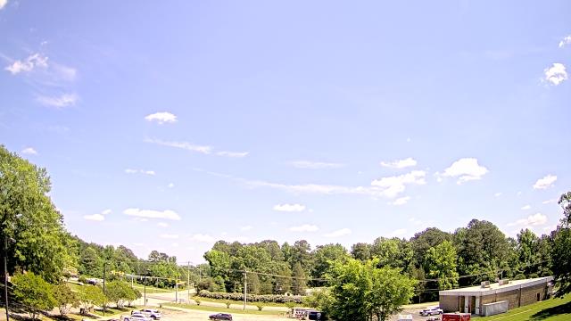
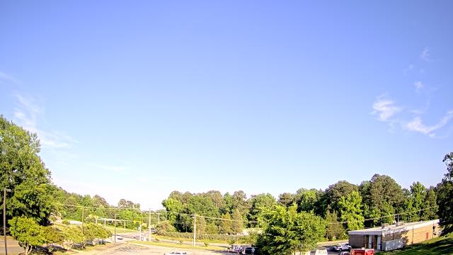
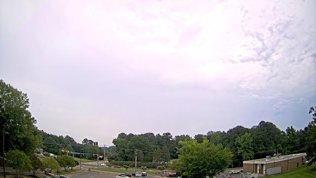
Richmond, Virginia, USA - 75.6 miles from Appomattox (historical): The Steward School - A webcam in Richmond, Virginia - camera location: The Steward School.
Operator: WeatherBug
Operator: WeatherBug


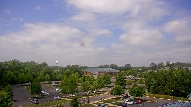
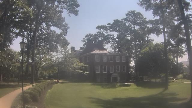
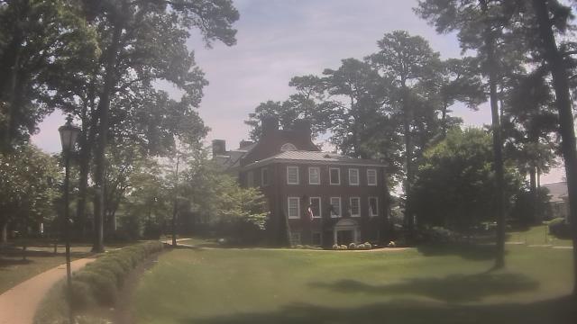
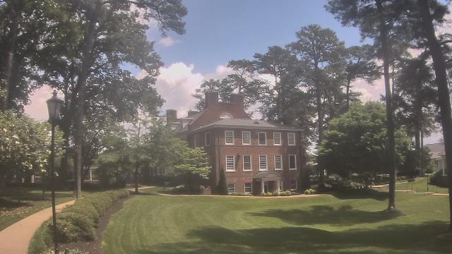
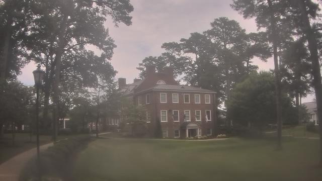
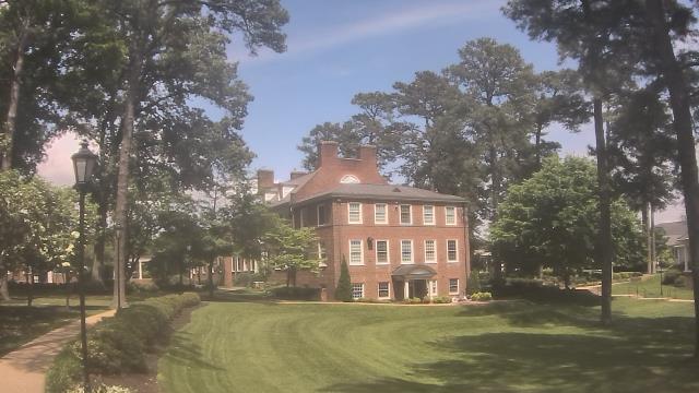
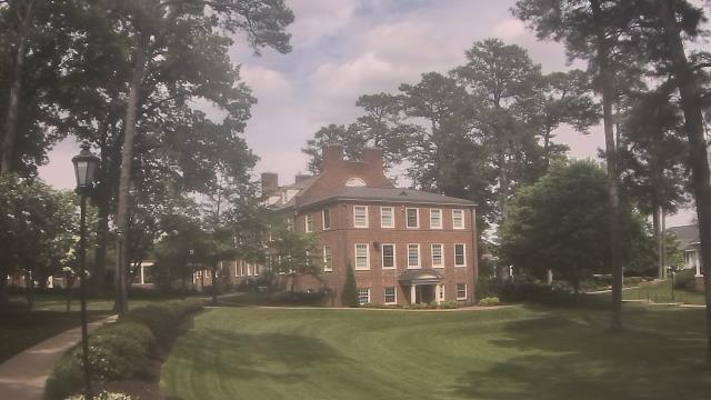
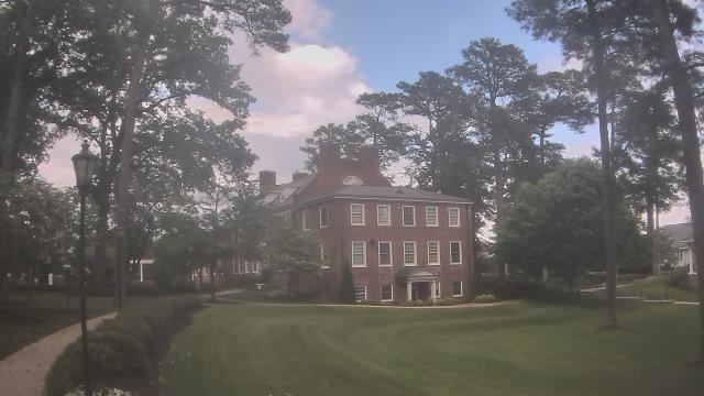
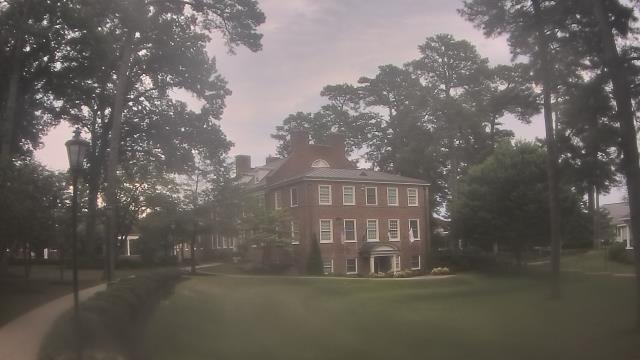
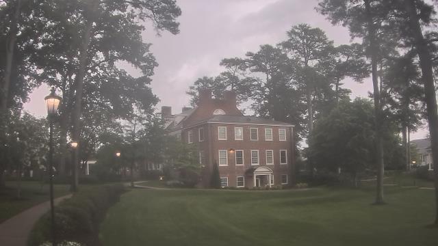
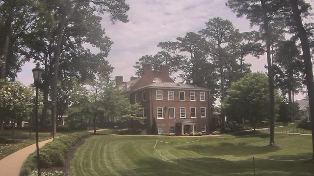
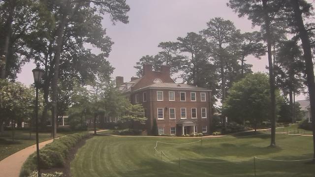
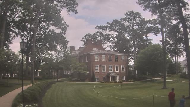
Richmond, Virginia, USA - 75.6 miles from Appomattox (historical): St. Christophers School - Webcam and current weather data - camera location: St. Christophers School.
Operator: WeatherBug
Operator: WeatherBug


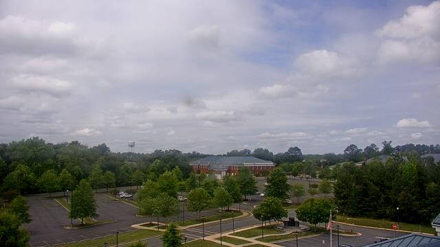
Prince George, Virginia, USA - 83.7 miles from Appomattox (historical): Prince George County EOC - A webcam in Prince George, Virginia - camera location: Prince George County EOC.
Operator: WeatherBug
Operator: WeatherBug
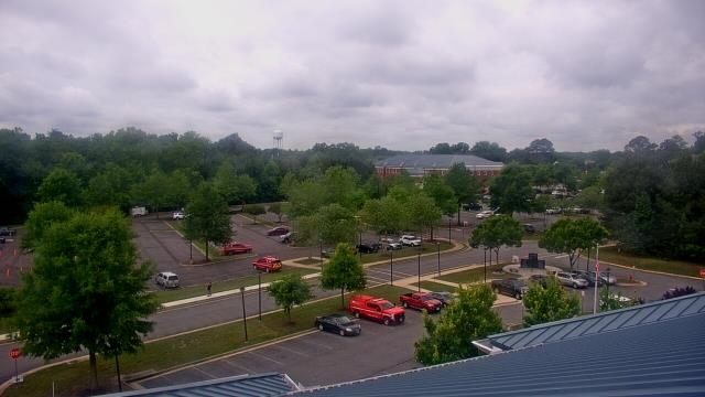
Spotsylvania, Virginia, USA - 87 miles from Appomattox (historical): Spotsylvania County Fire and Rescue - A webcam in Spotsylvania, Virginia - camera location: Spotsylvania County Fire and Rescue.
Operator: WeatherBug
Operator: WeatherBug