Webcams in the region of Awatoto, New Zealand
The List of Webcams near Awatoto, New Zealand:
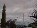
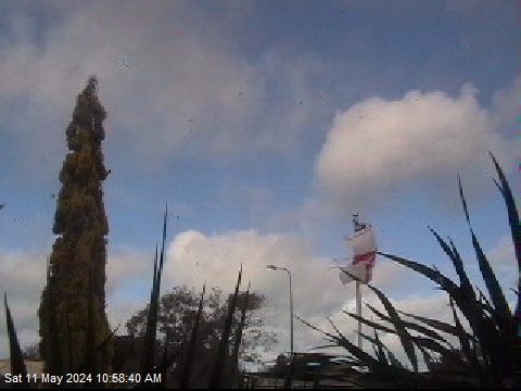
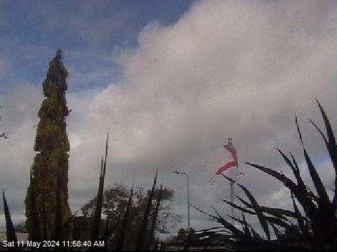
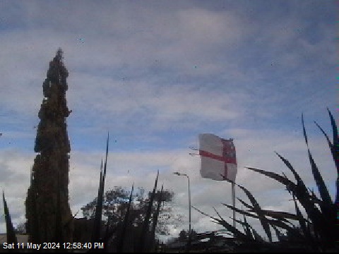
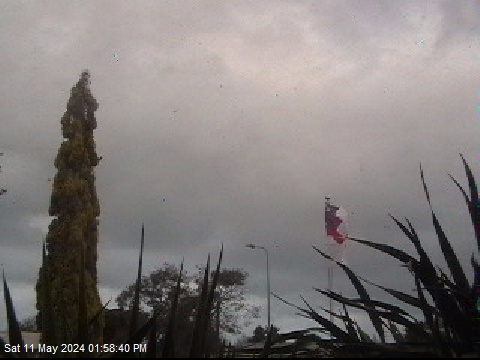
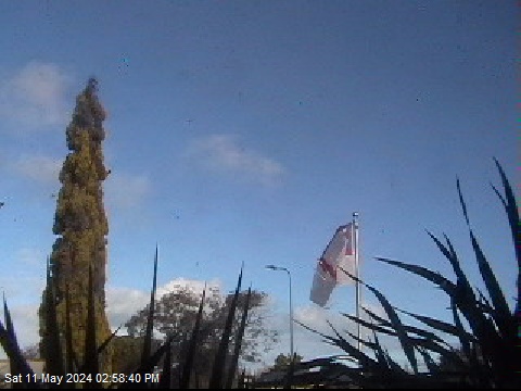
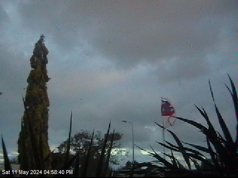
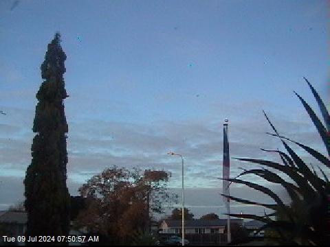
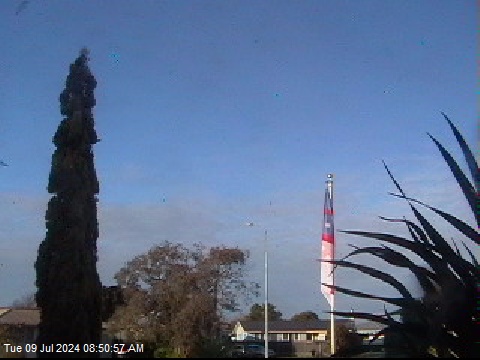
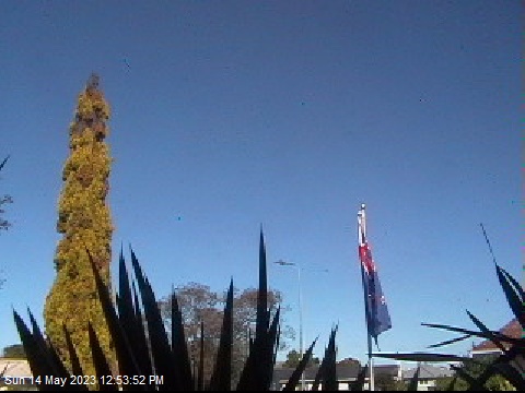
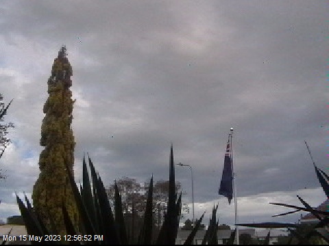
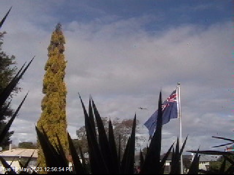
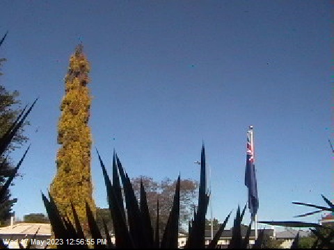
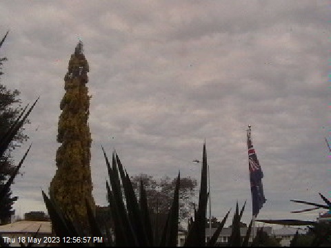
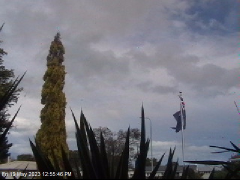
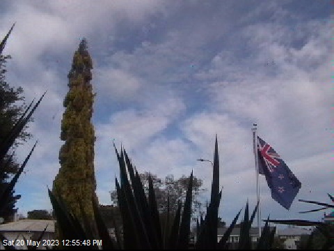
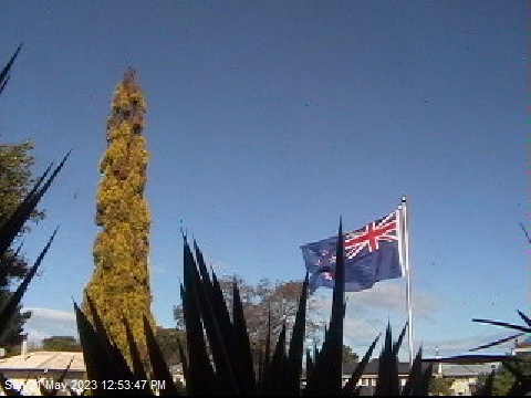
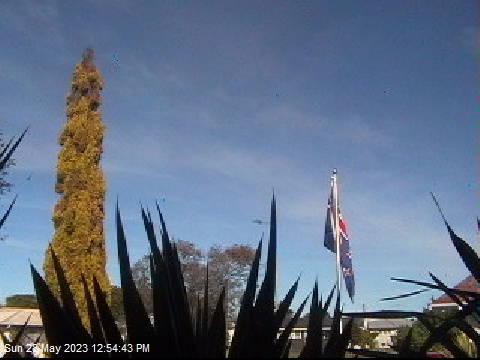
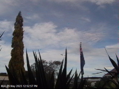
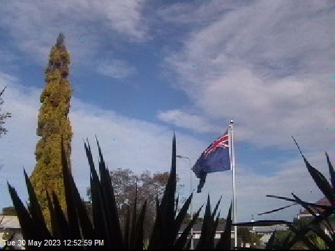
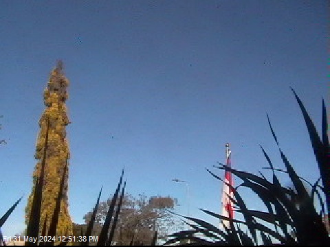
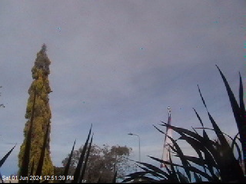
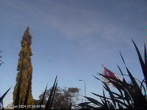
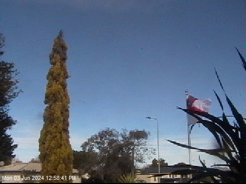
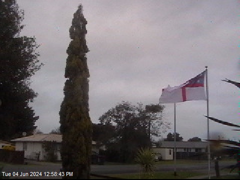
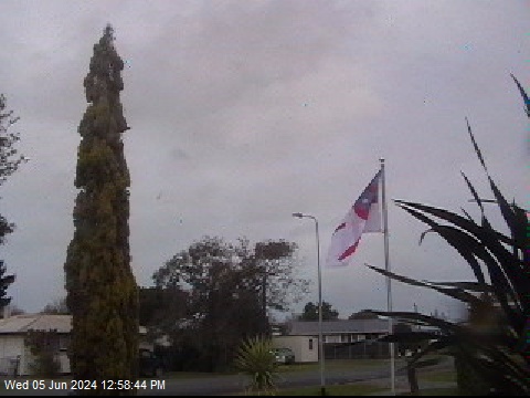
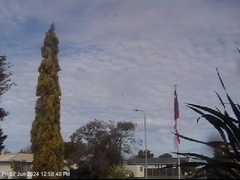
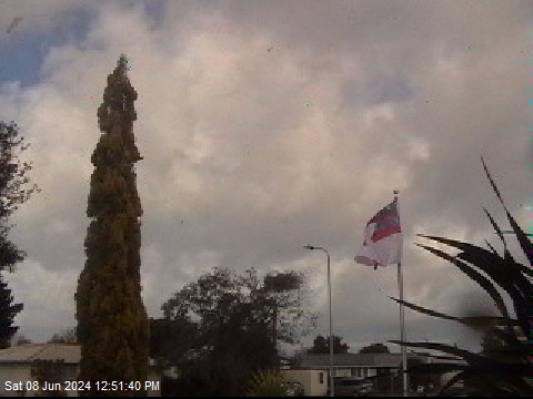
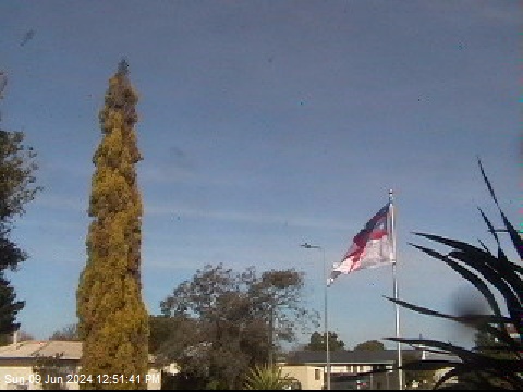
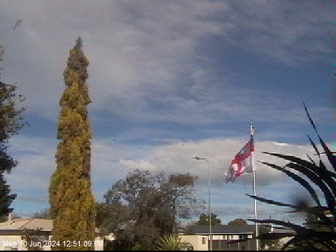
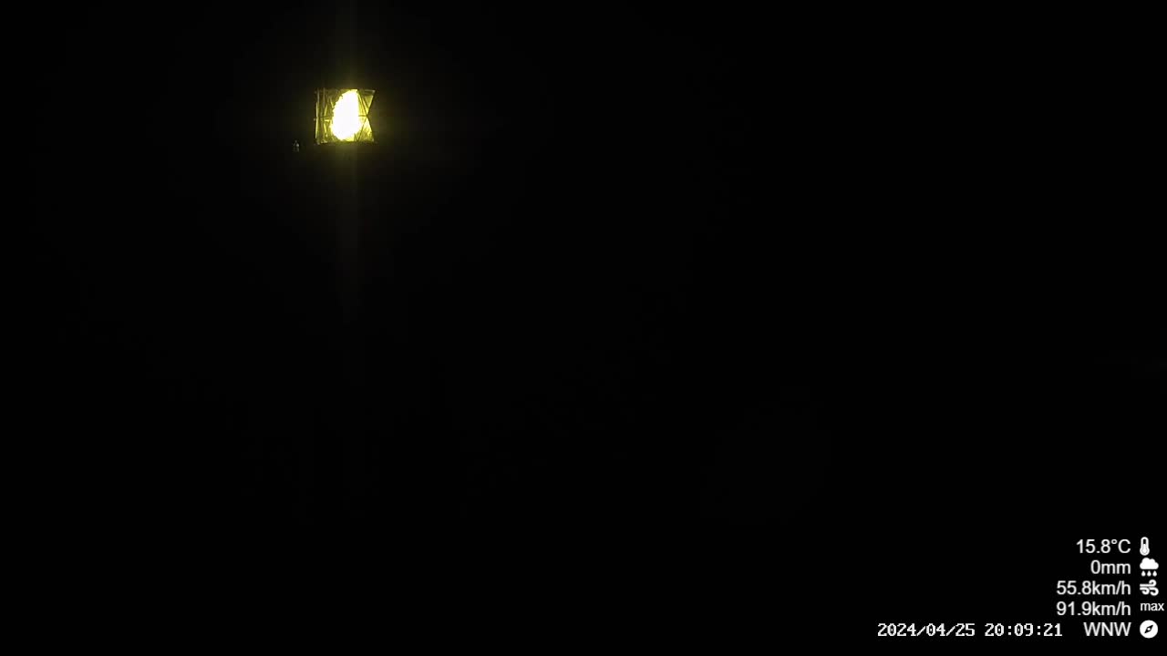
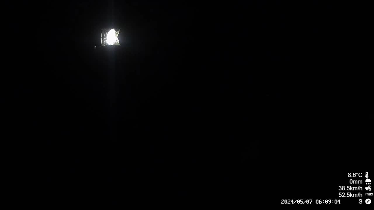
Wairoa, New Zealand - 45 miles from Awatoto: The Wairoa Weather Station Cam - Weathercam in Wairoa, Hawke Bay, with current weather data.
Operator: Wairoa Weather
Operator: Wairoa Weather
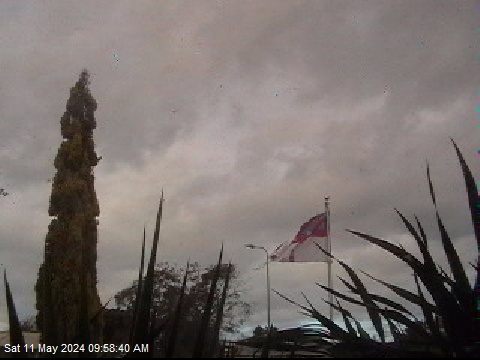
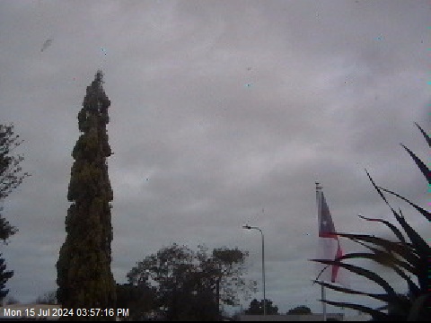

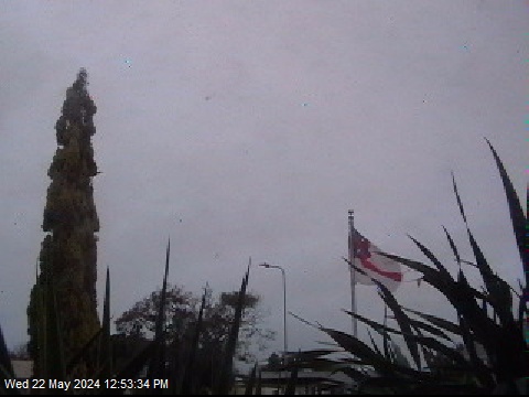
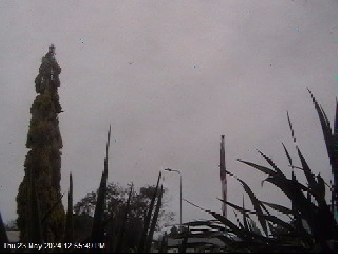
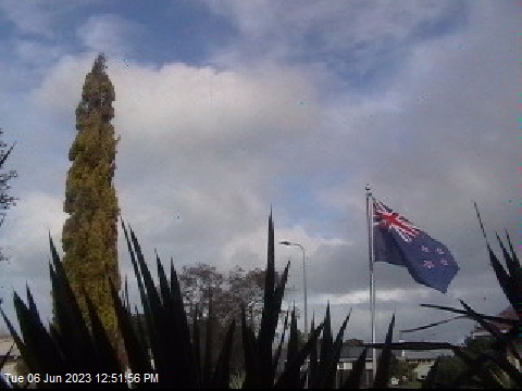


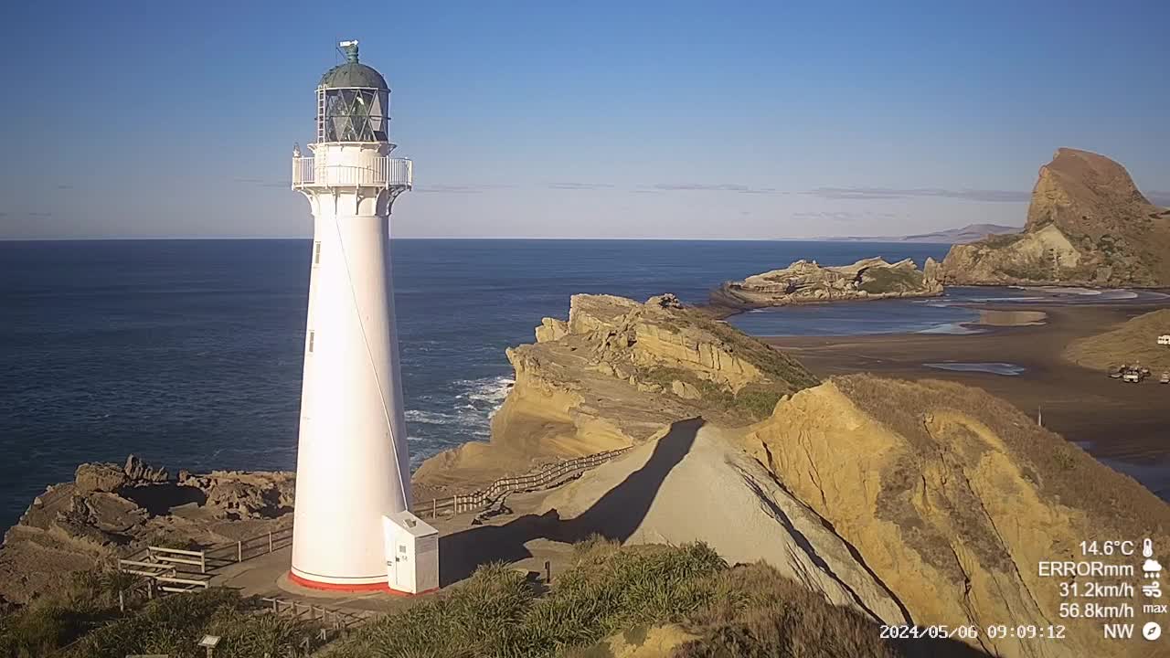
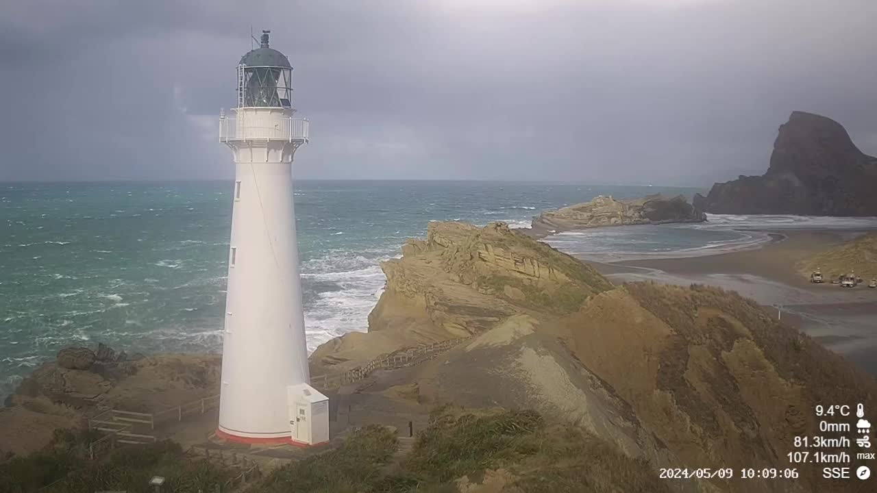
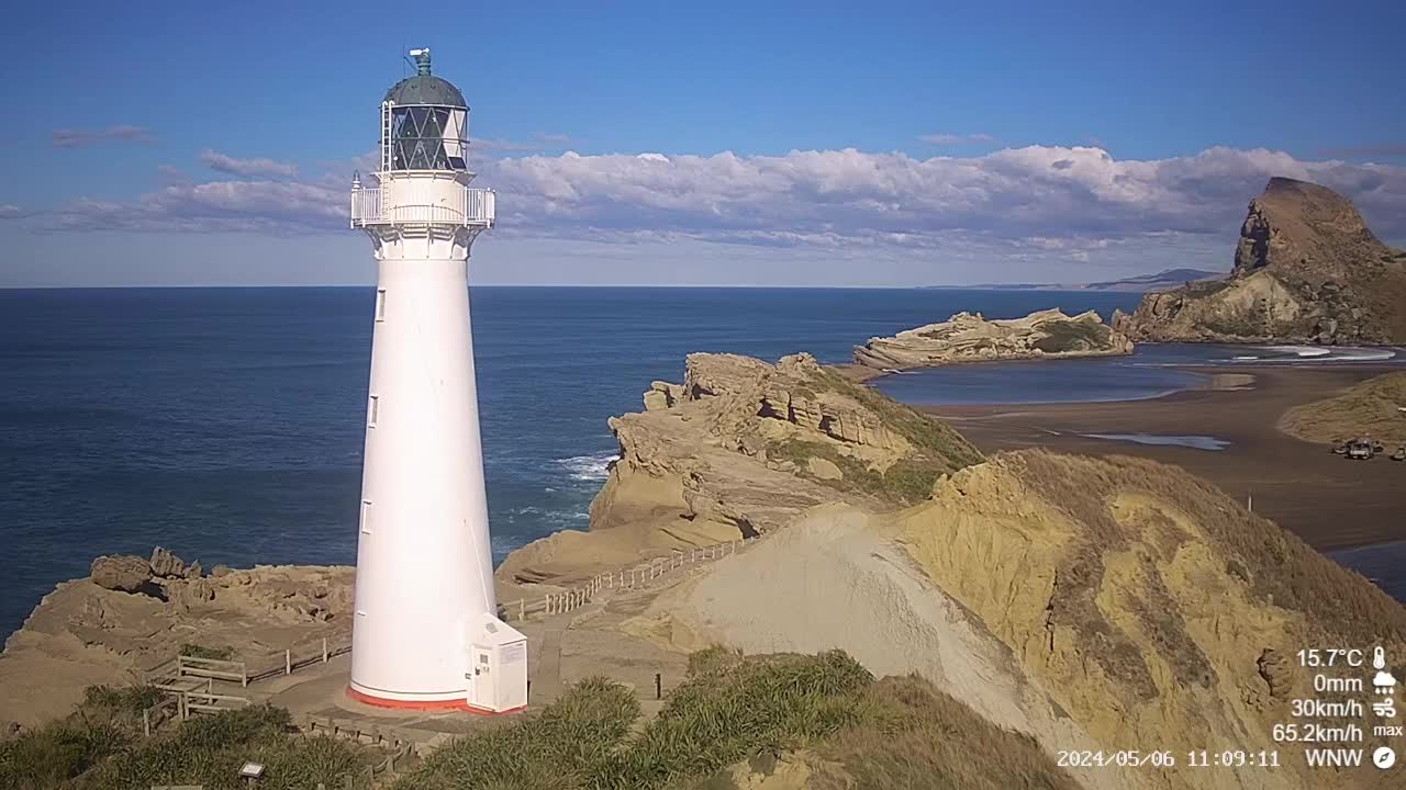
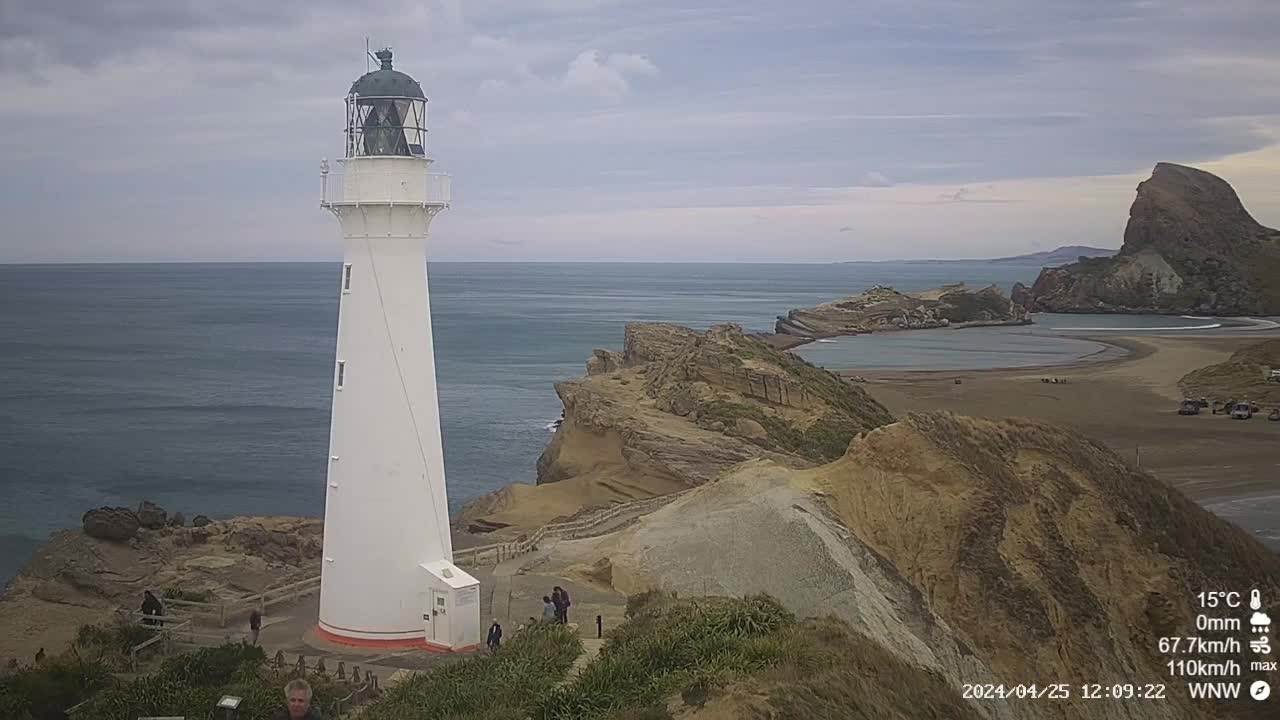
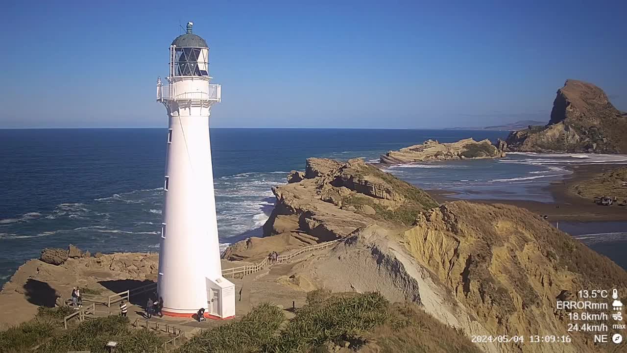
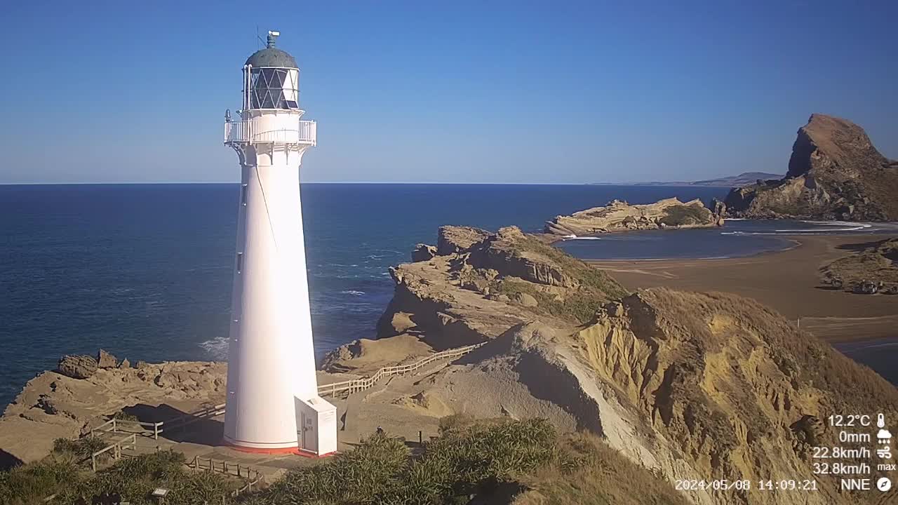
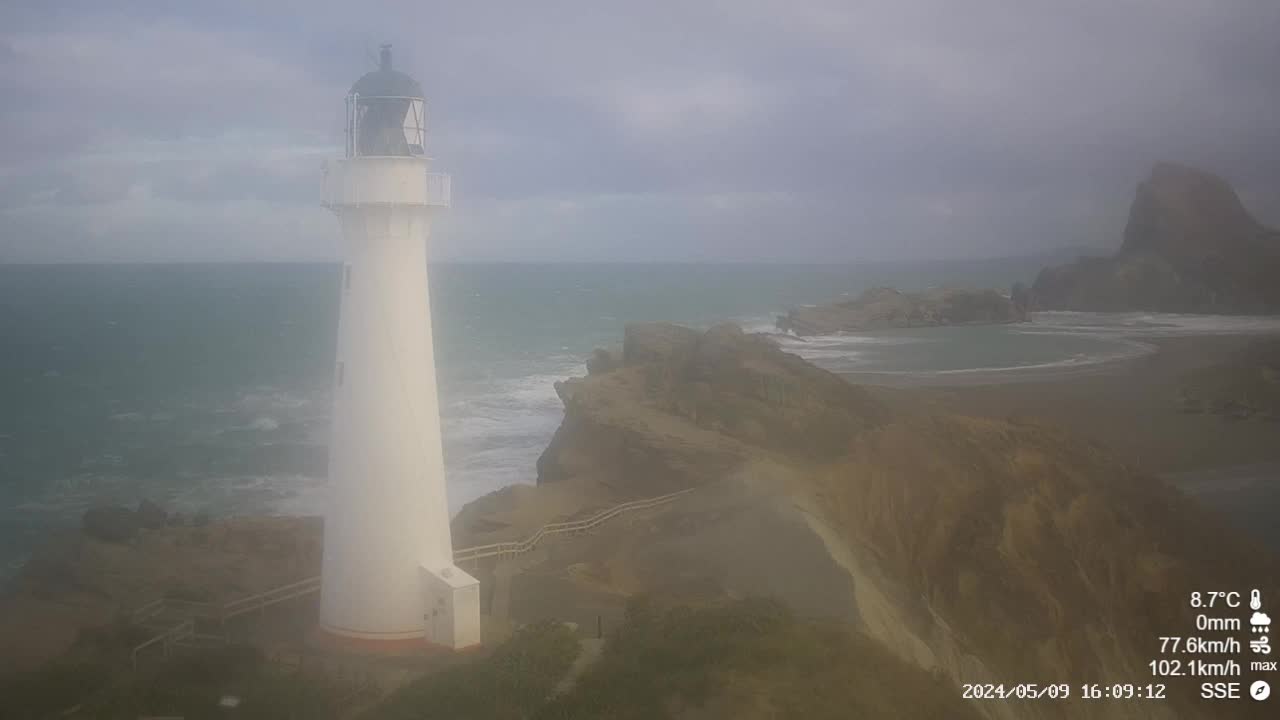
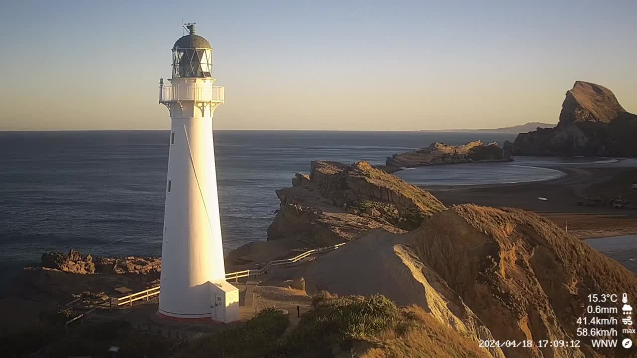
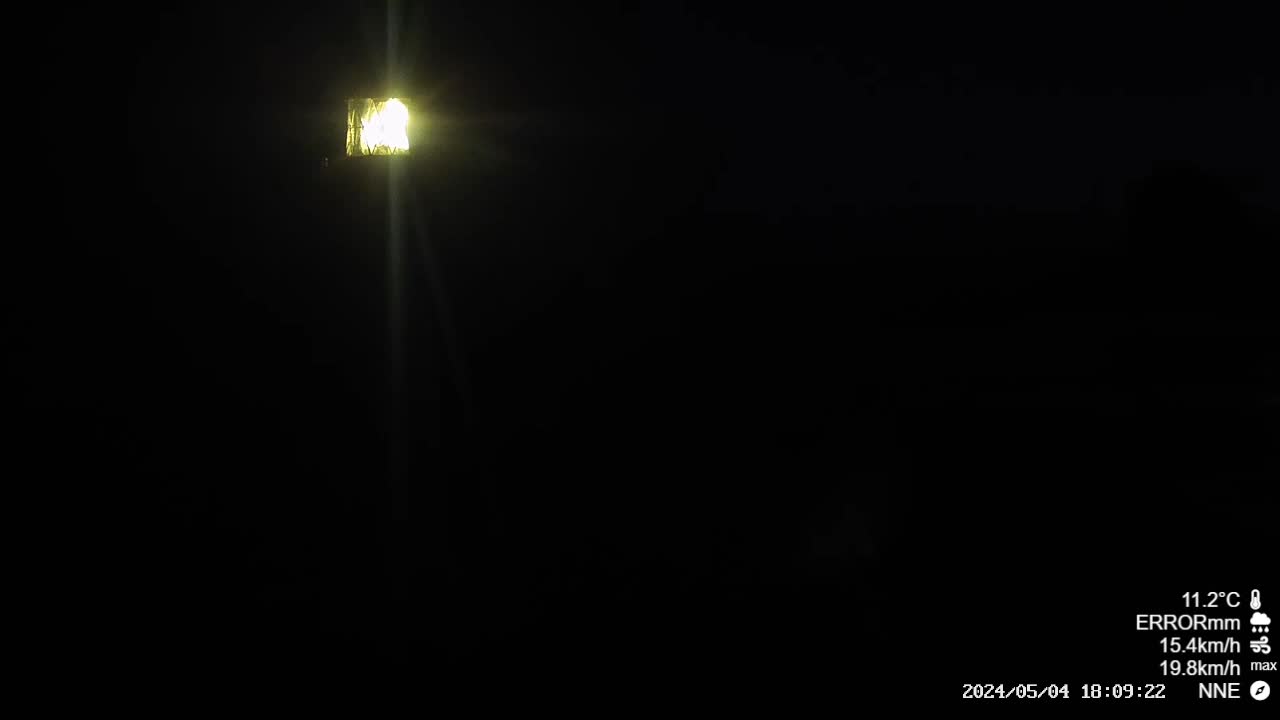
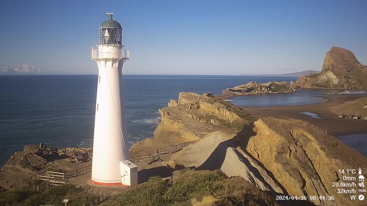
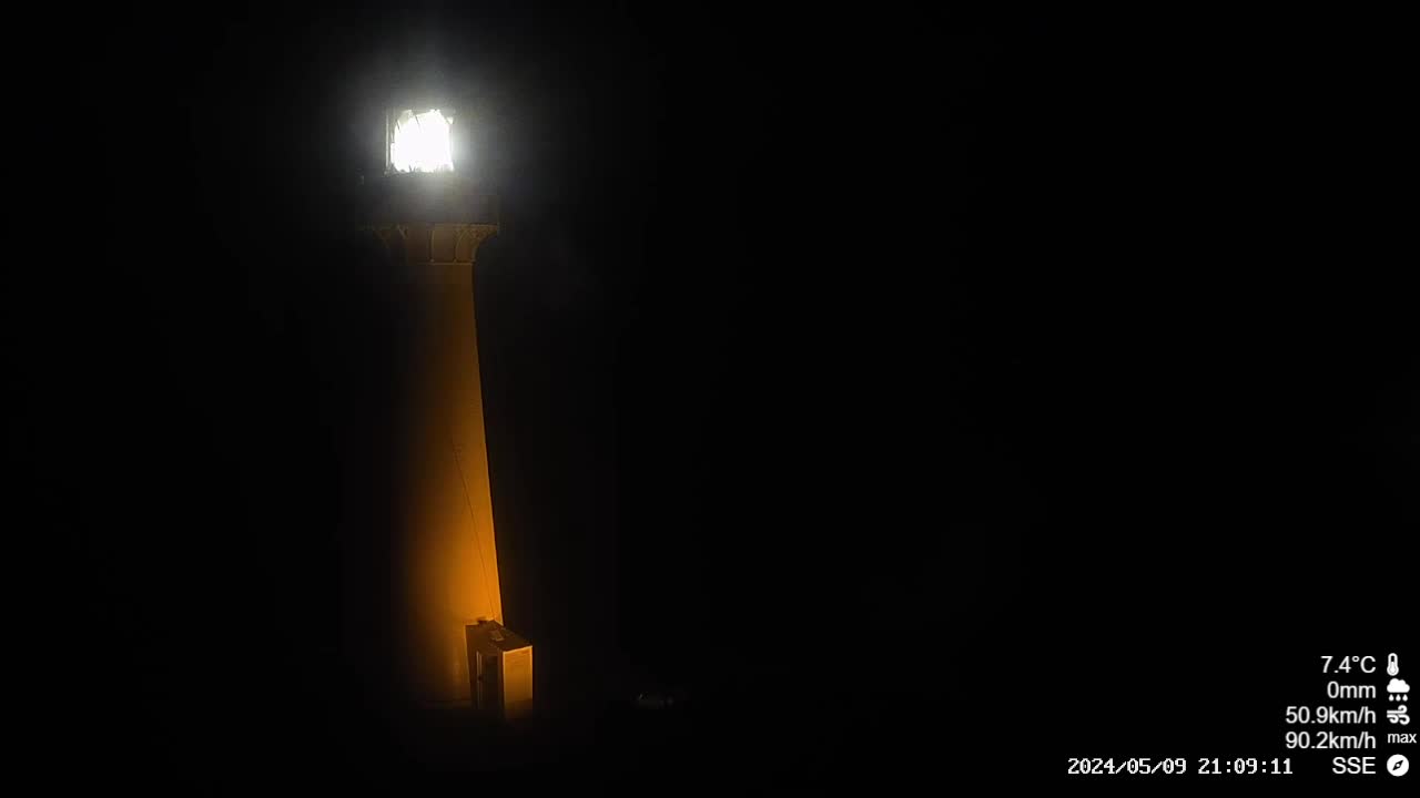
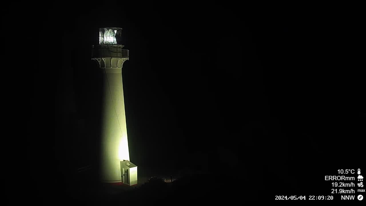
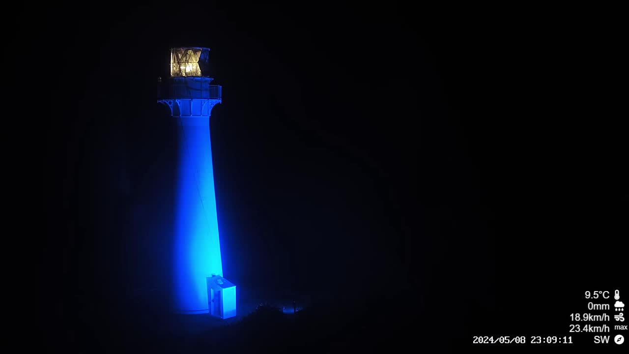
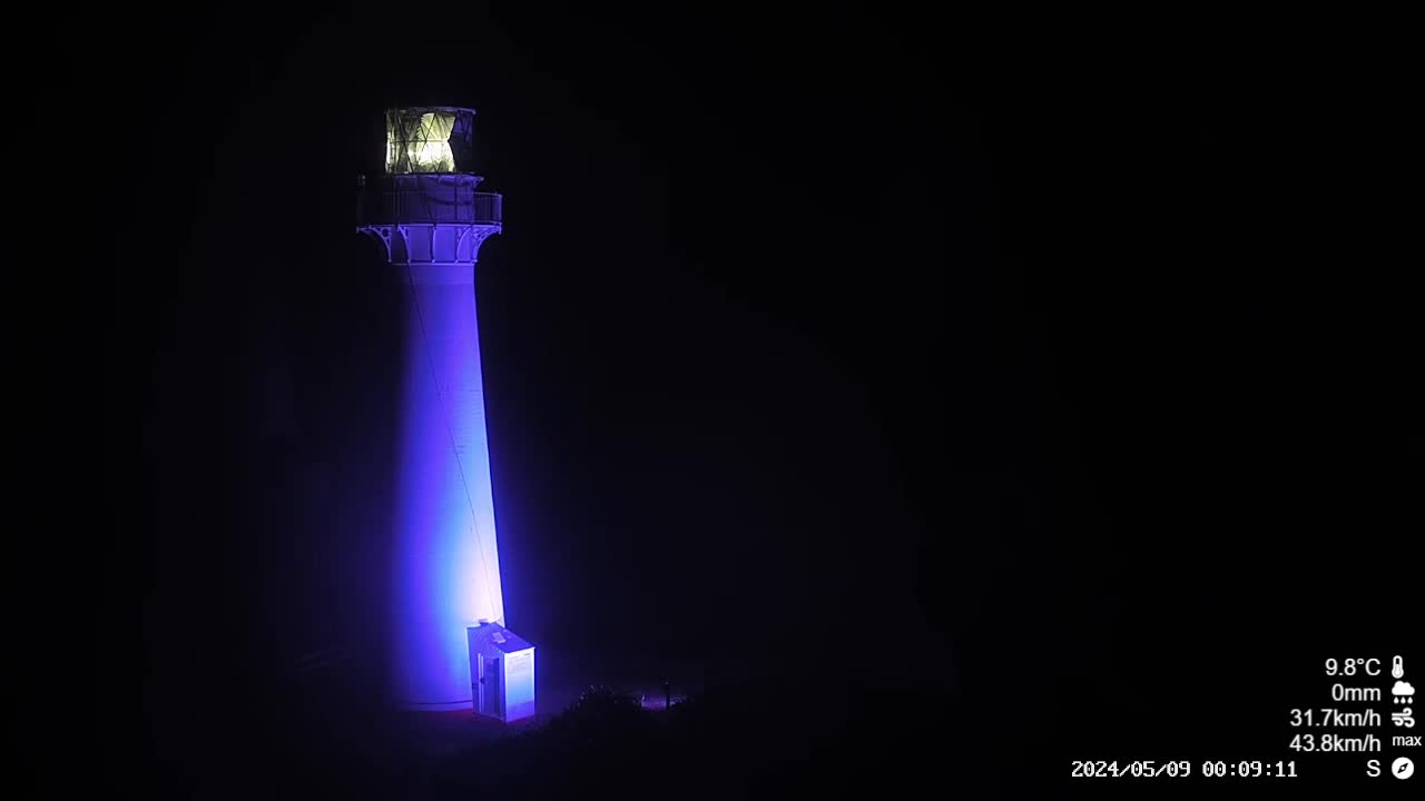
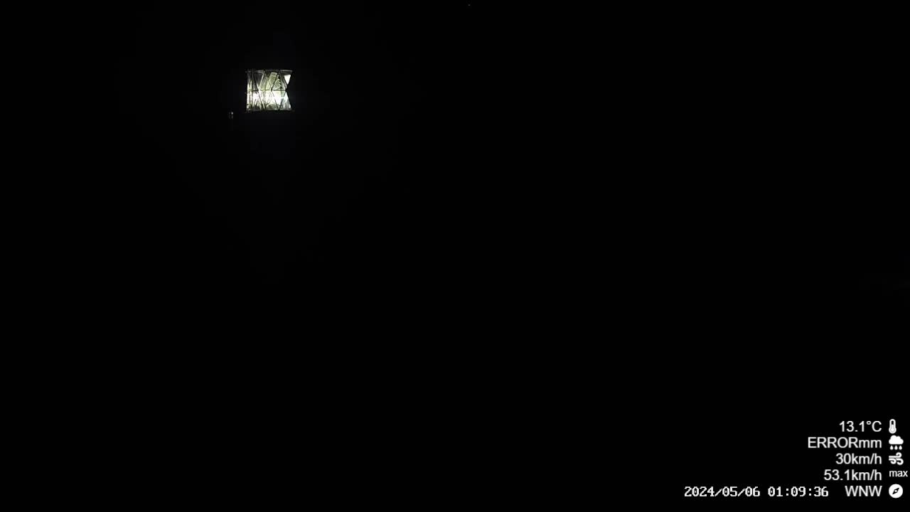
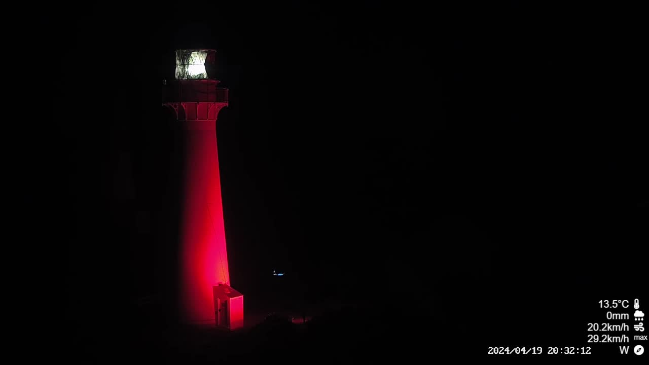
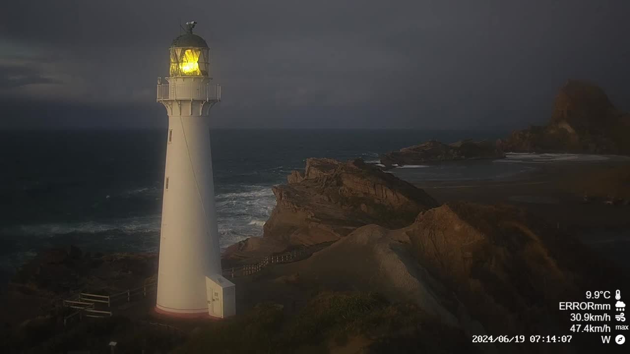
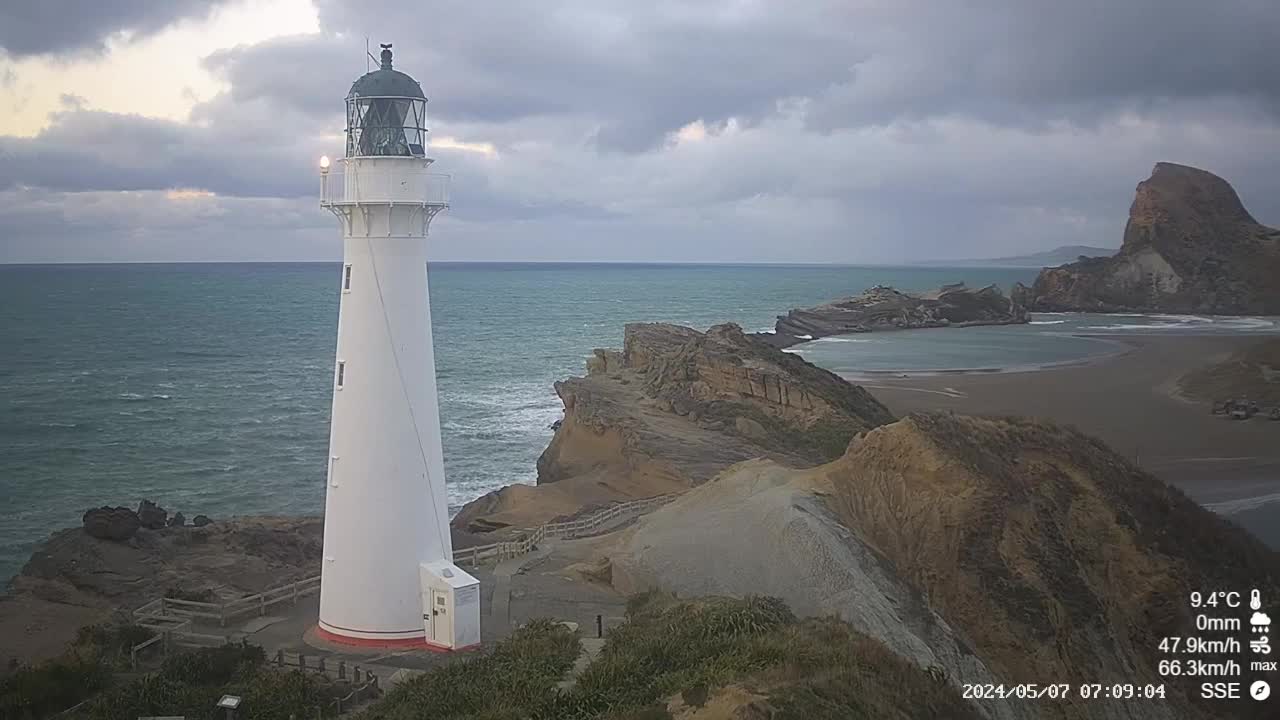
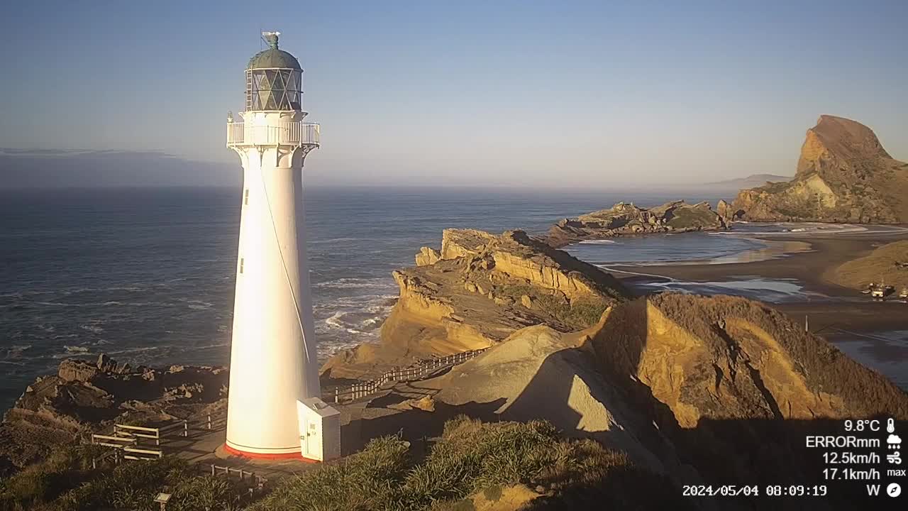
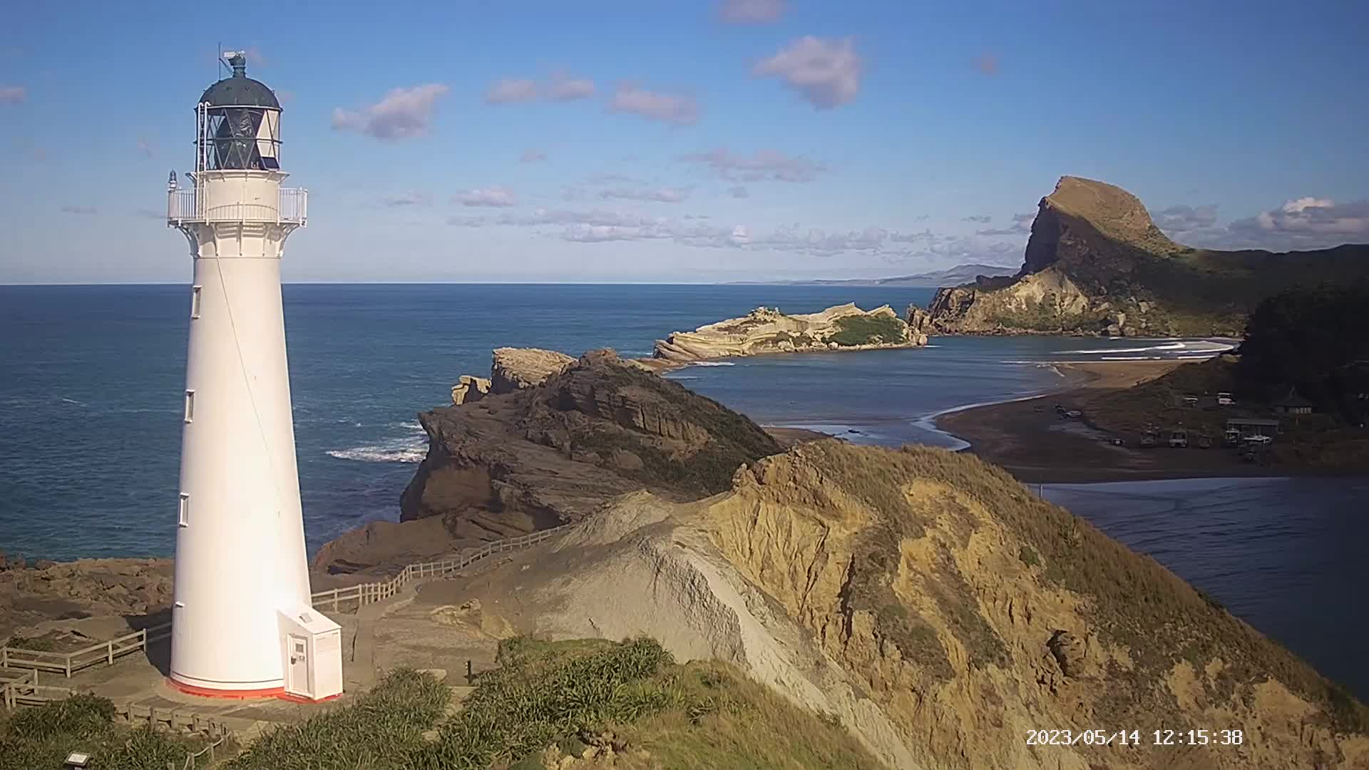
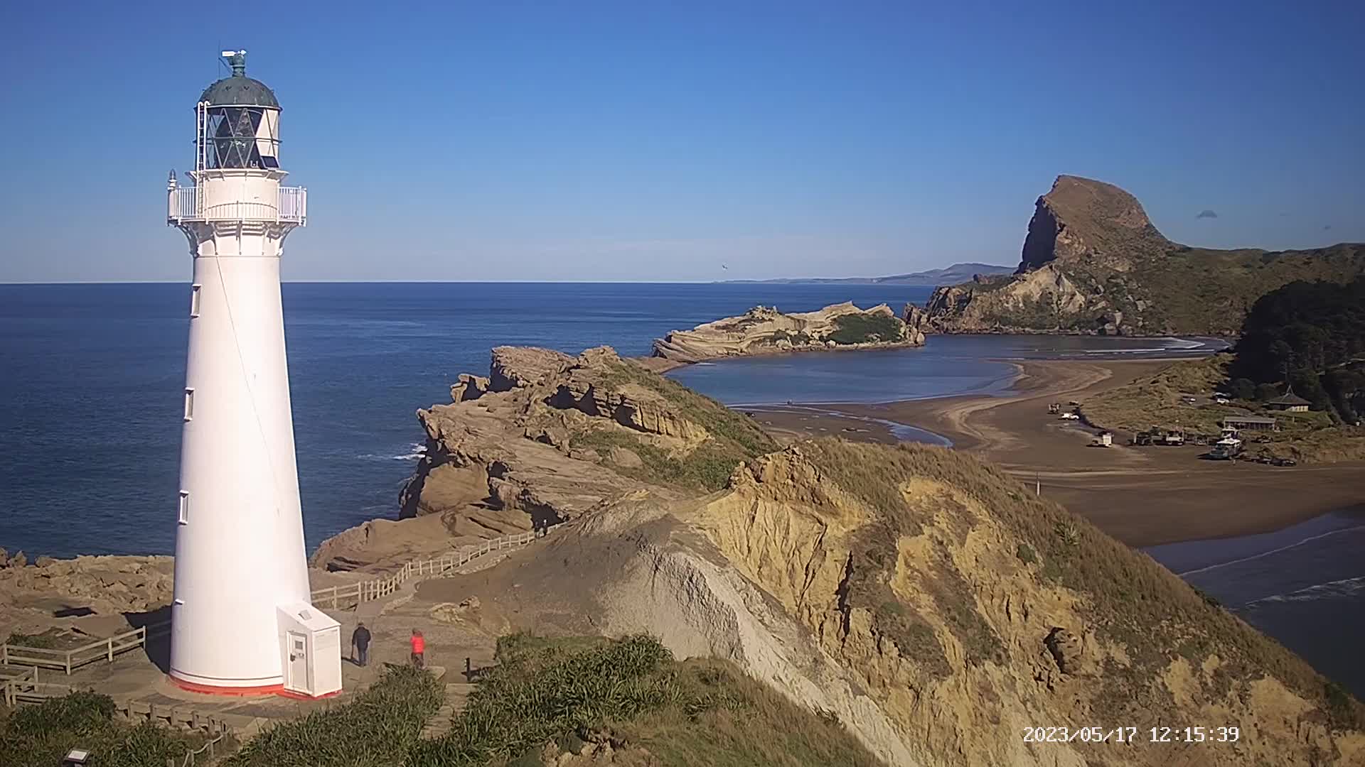
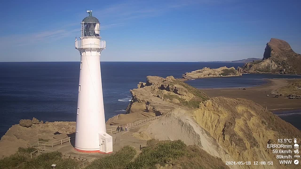
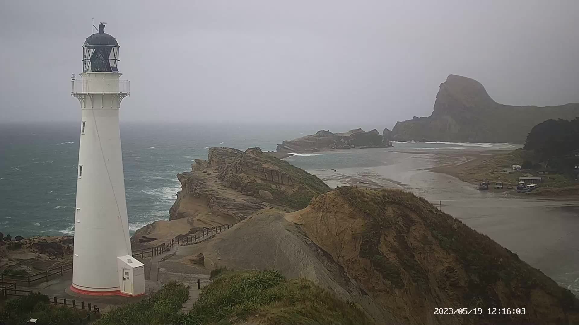
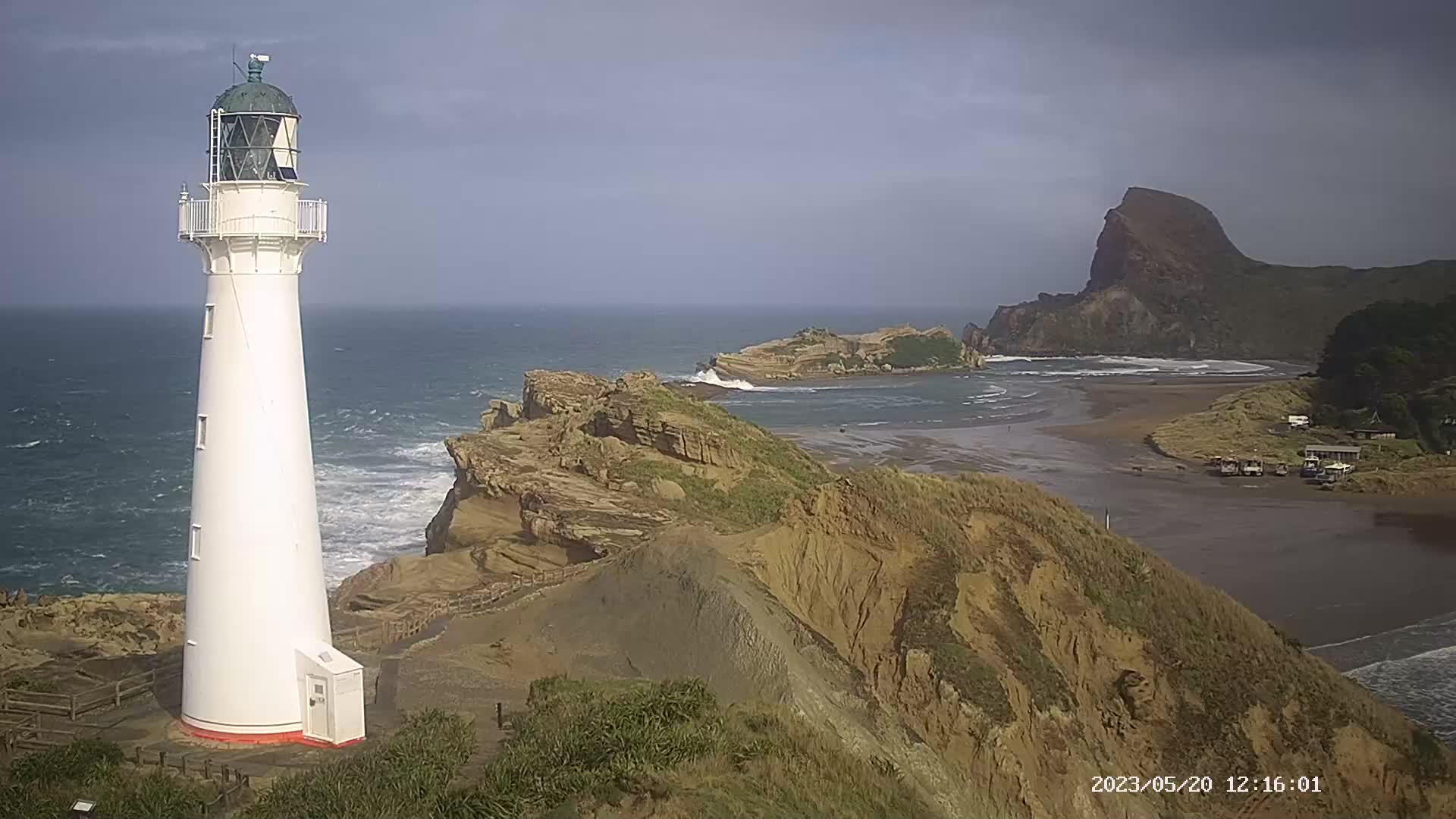
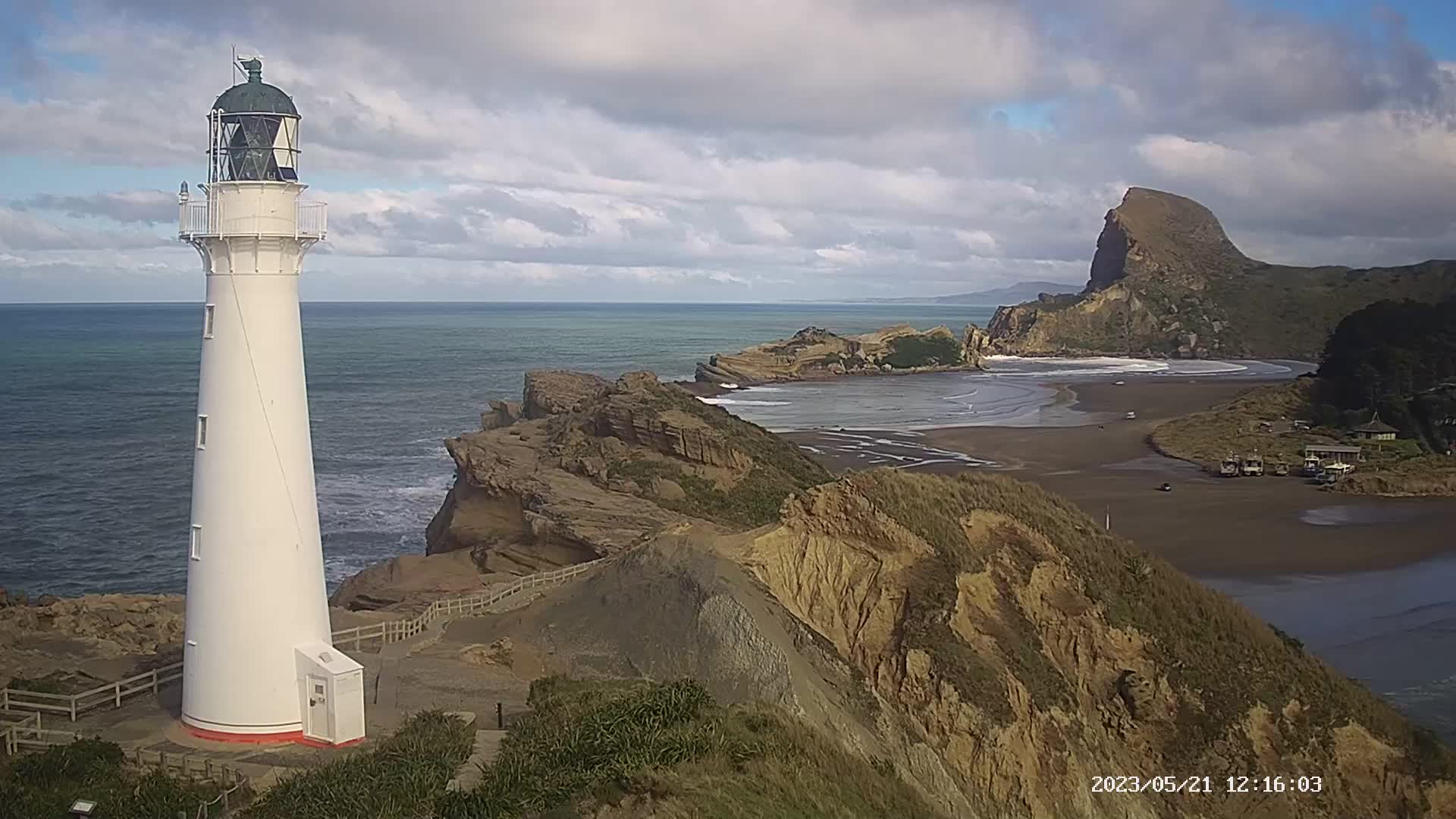
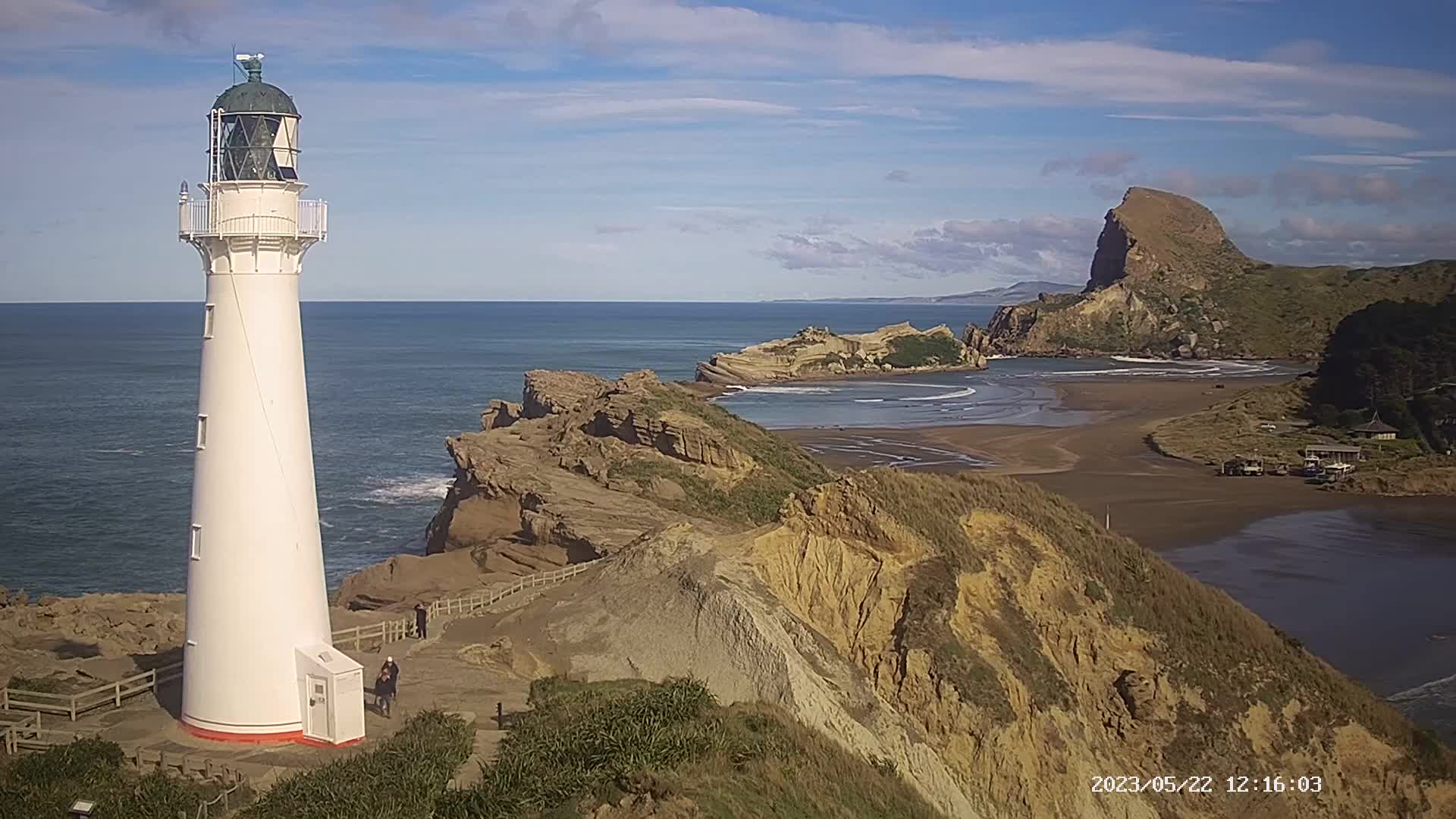
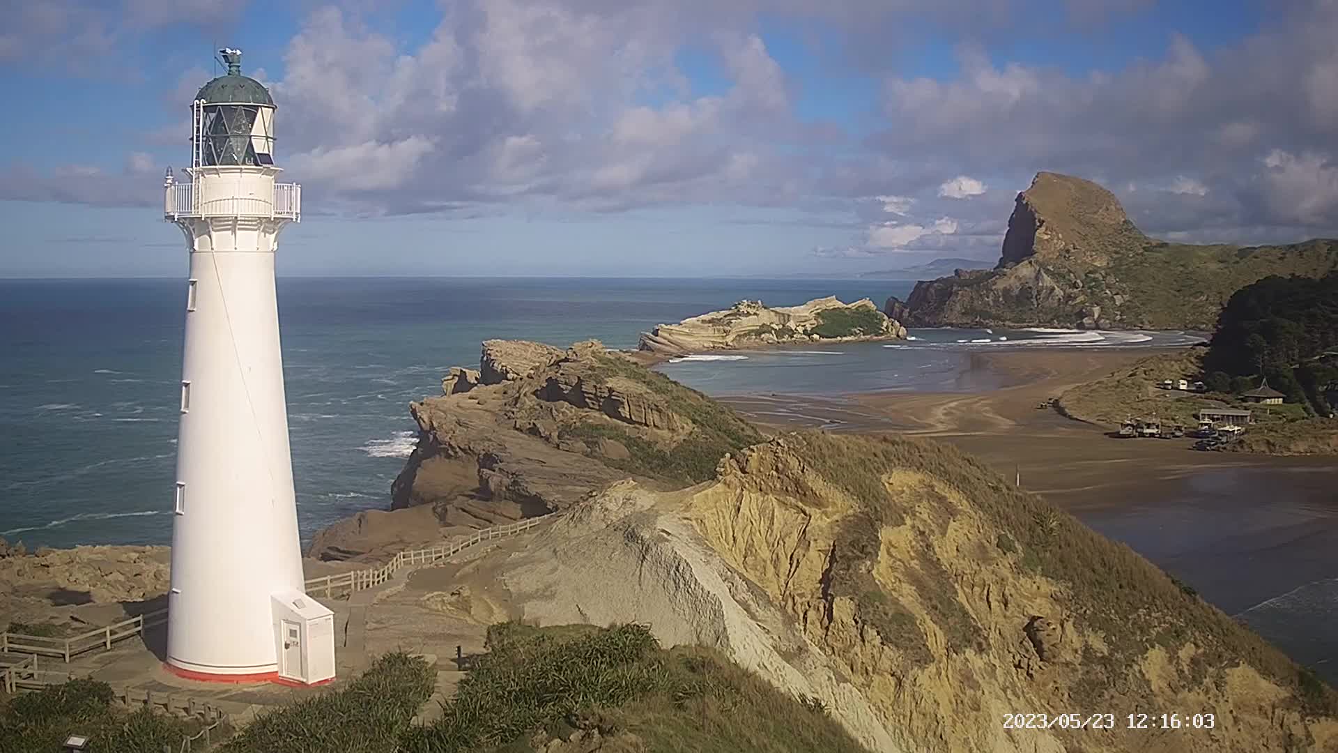
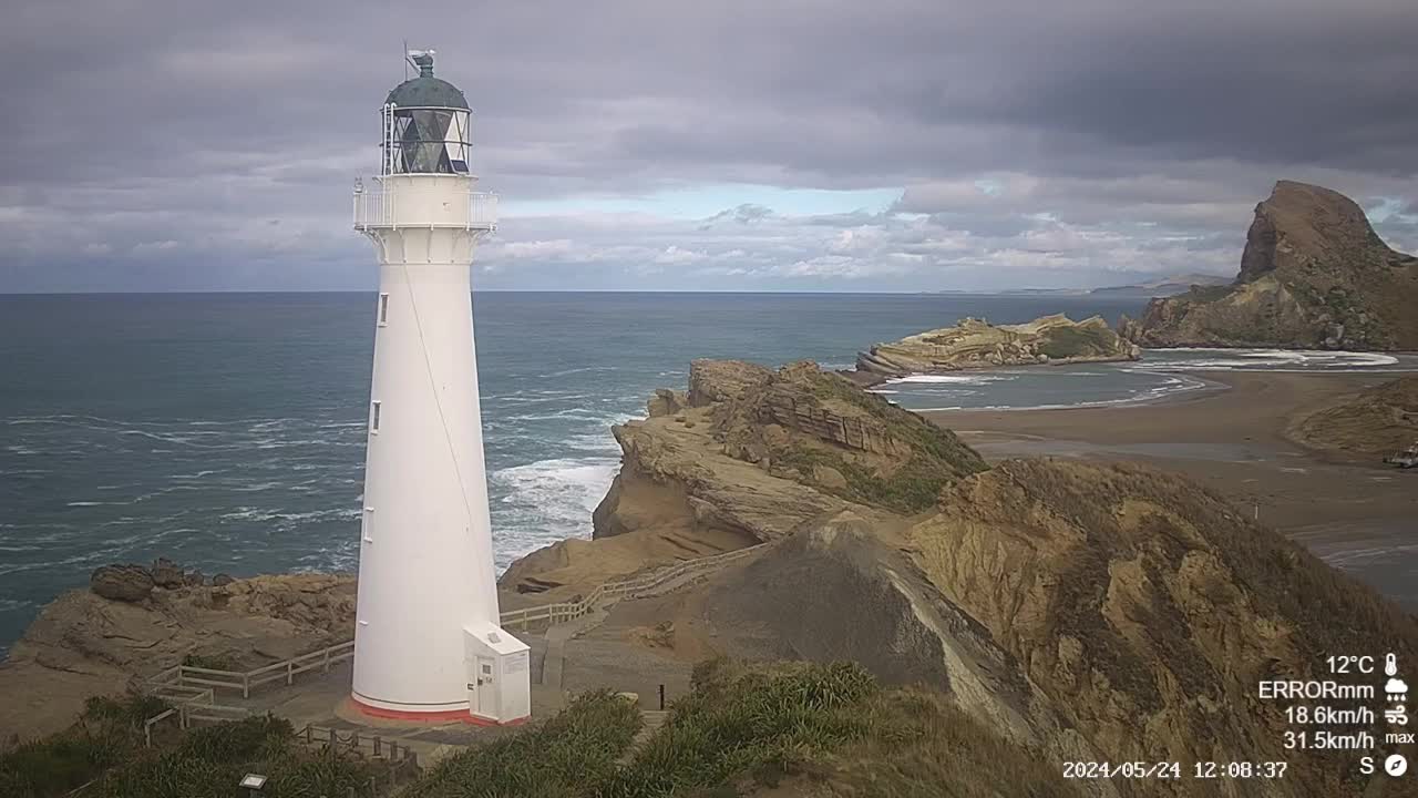
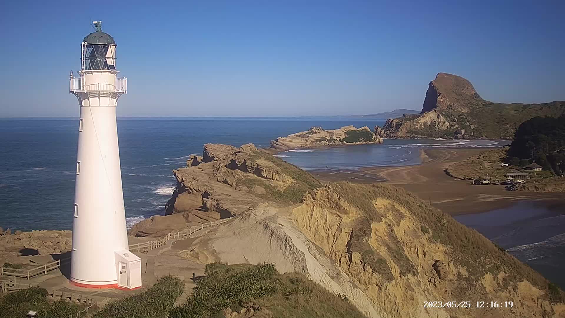
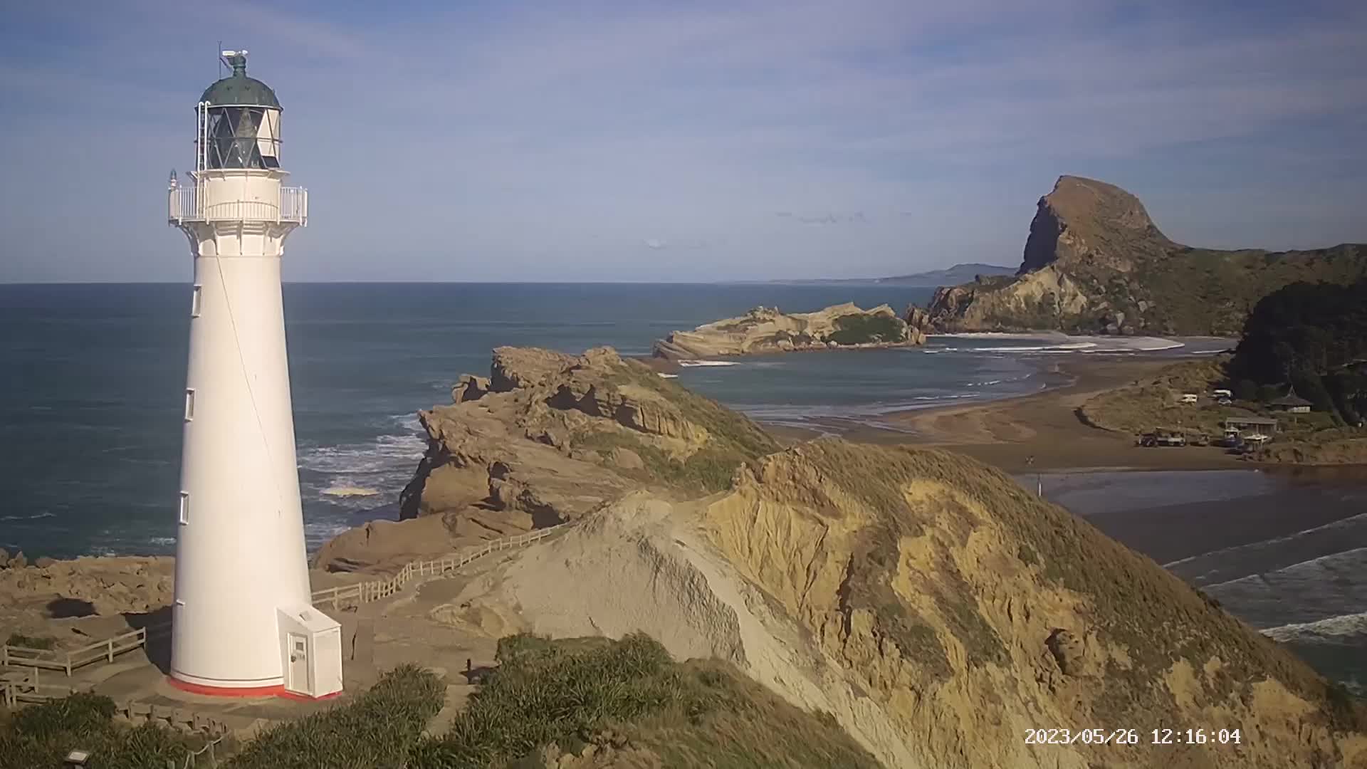
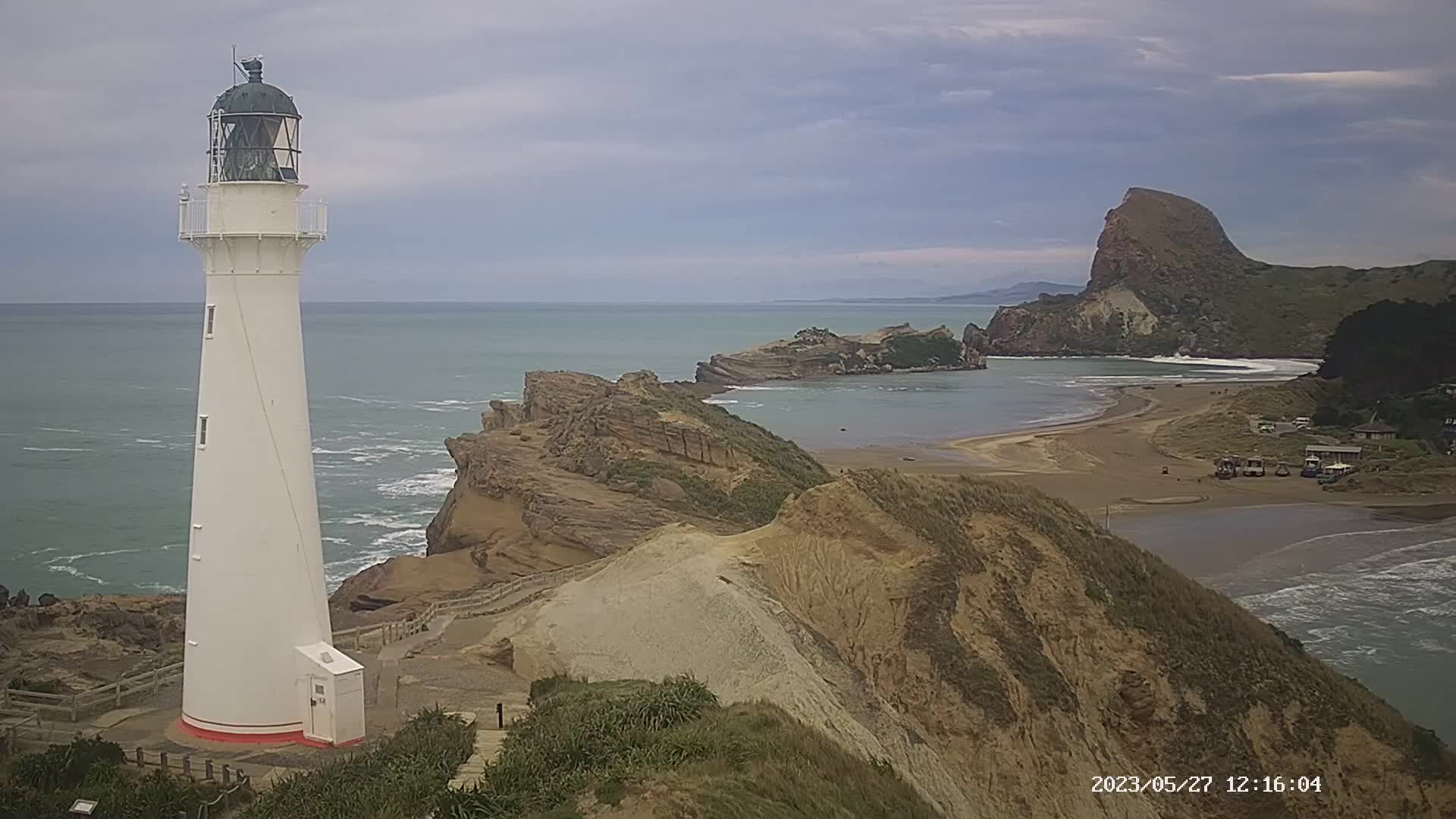
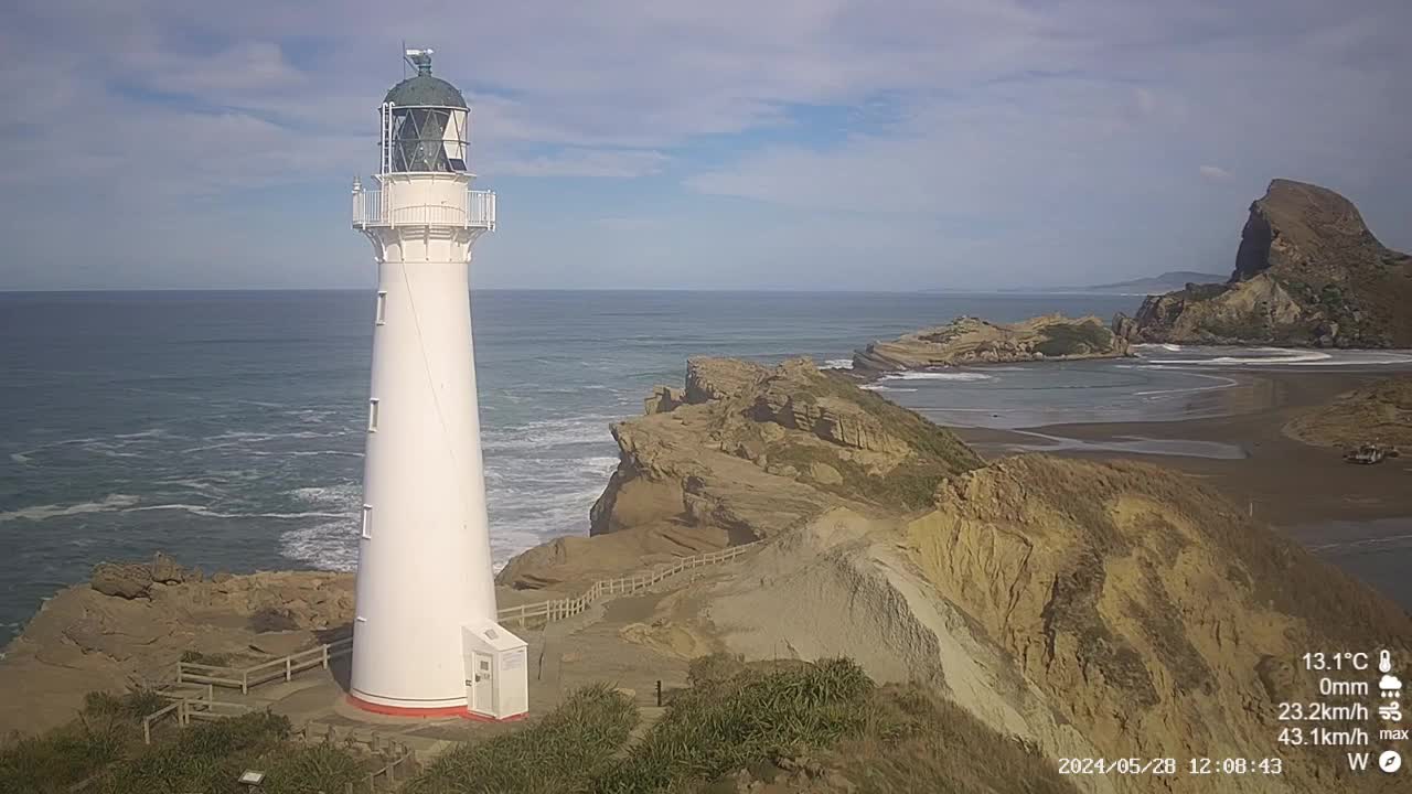
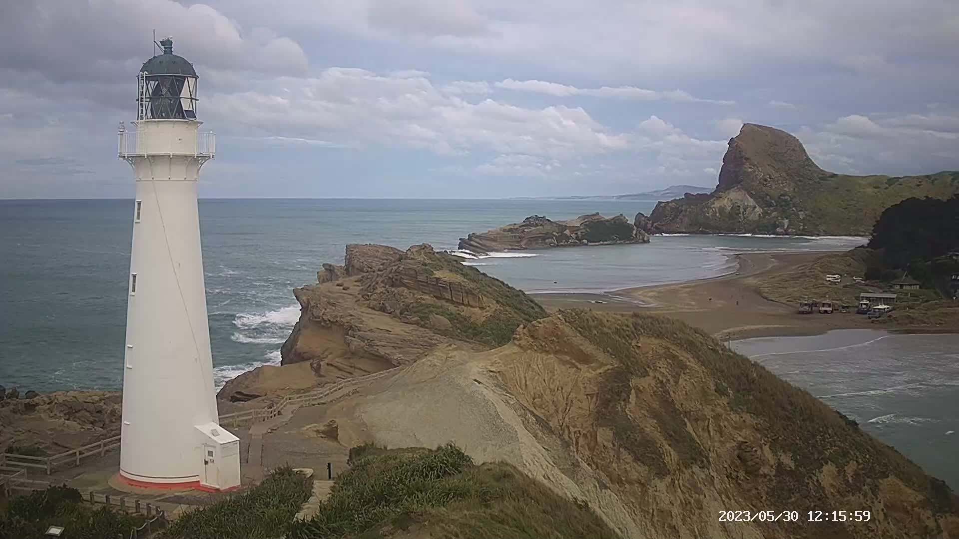
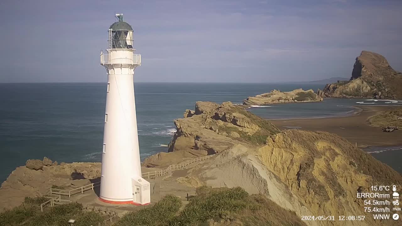
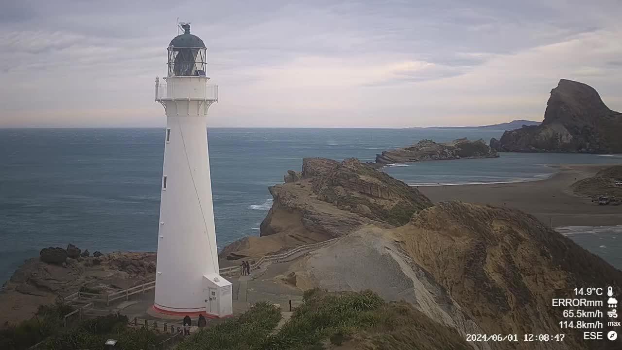
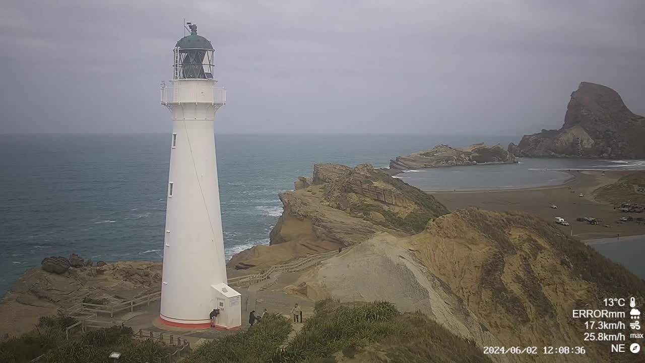
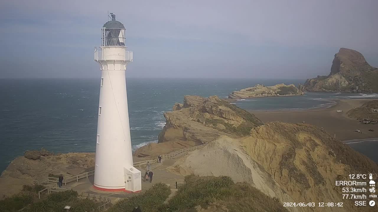
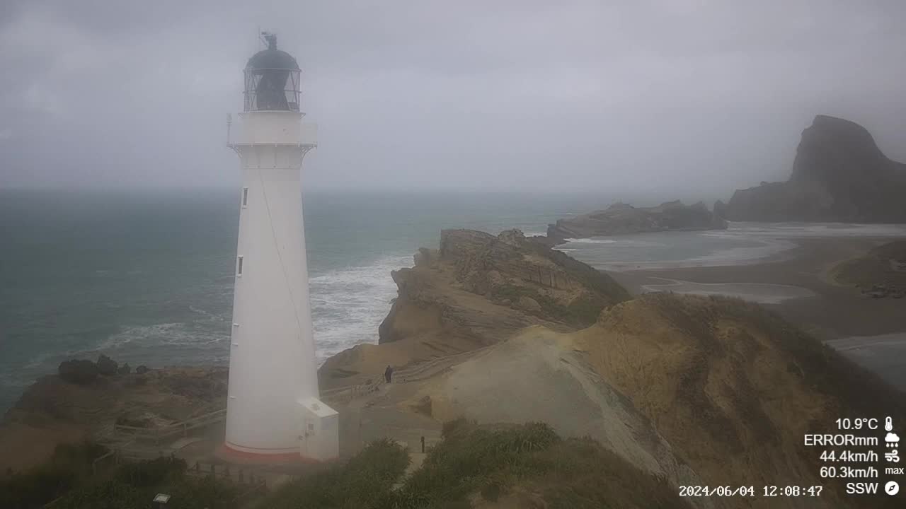
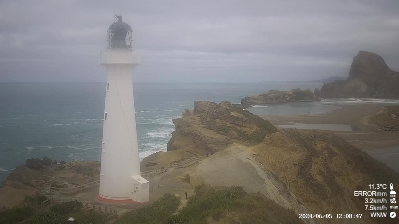
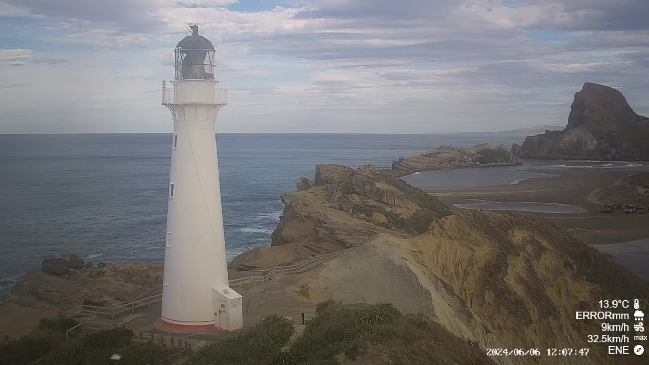
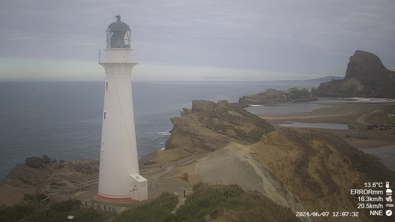
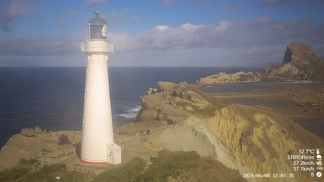
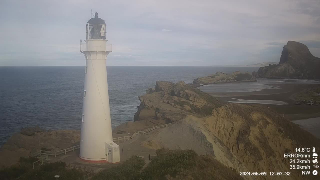
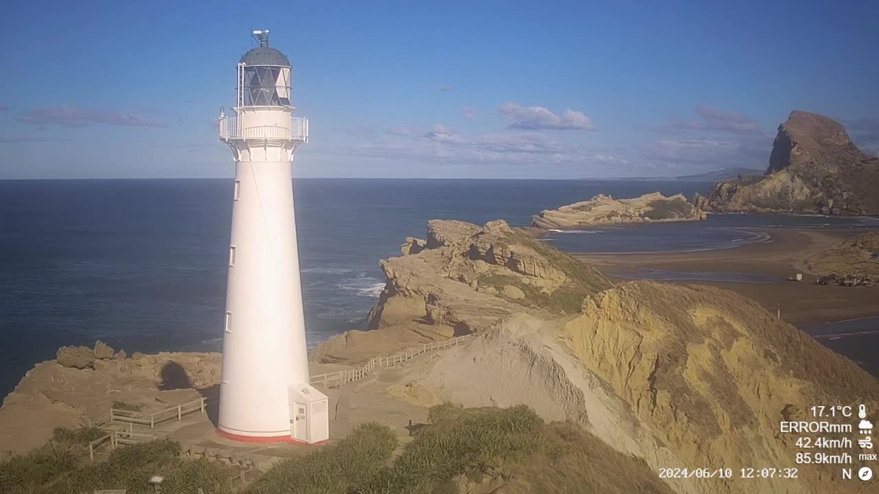
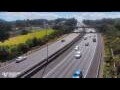
Castlepoint, New Zealand - 100 miles from Awatoto: Castlepoint Lighthouse
Operator: Castlepoint Lighthouse
Operator: Castlepoint Lighthouse


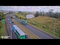
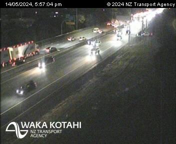
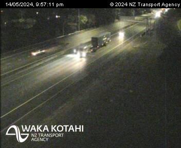
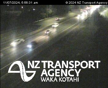
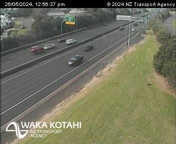
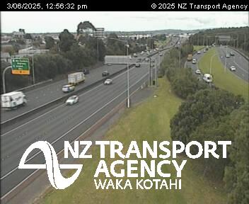
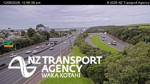
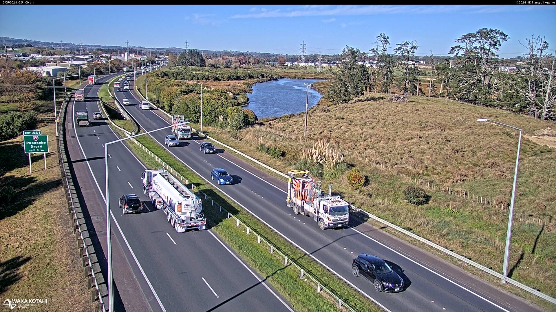
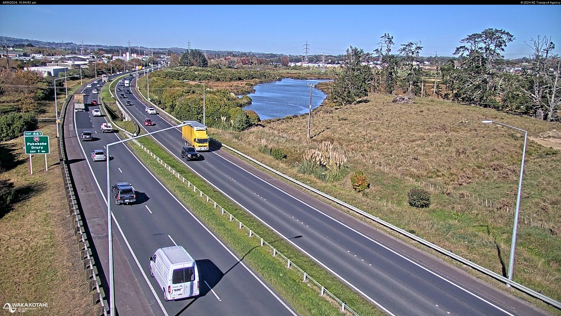
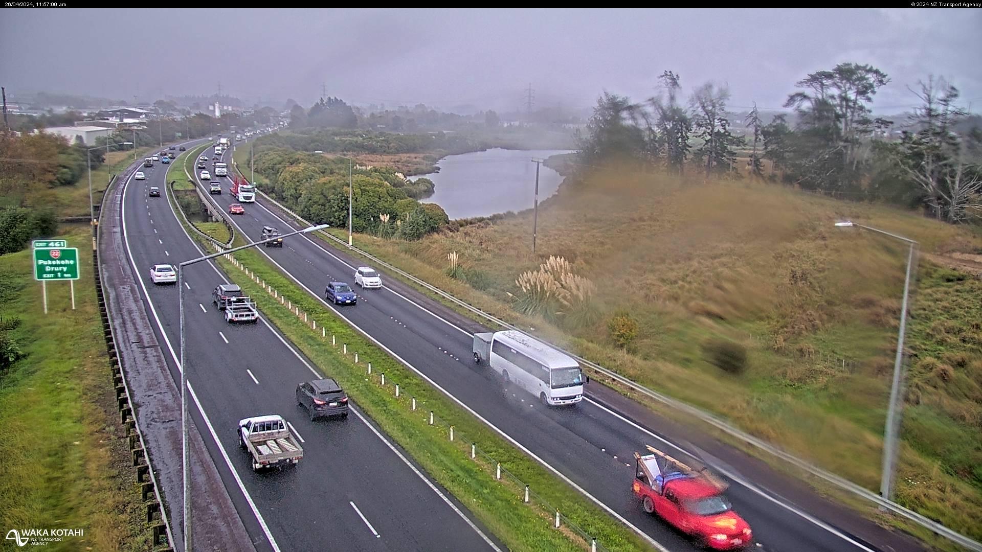
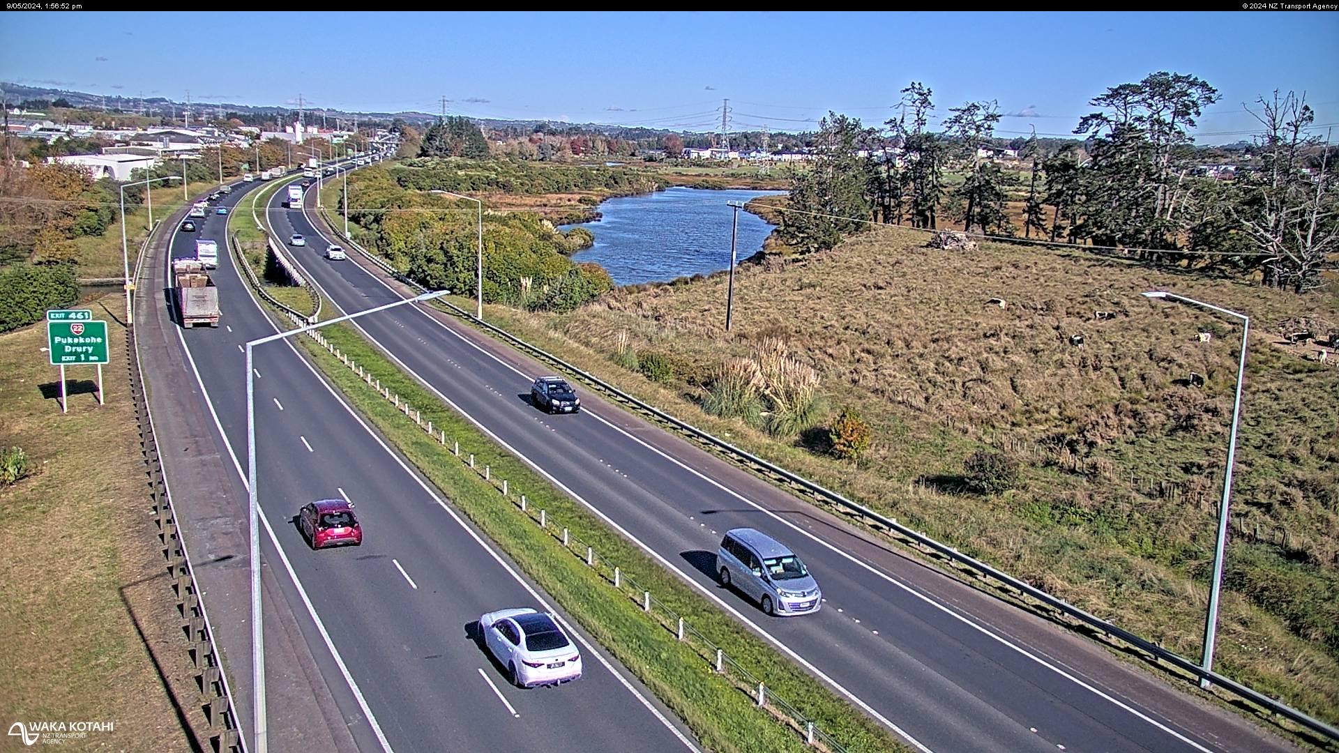
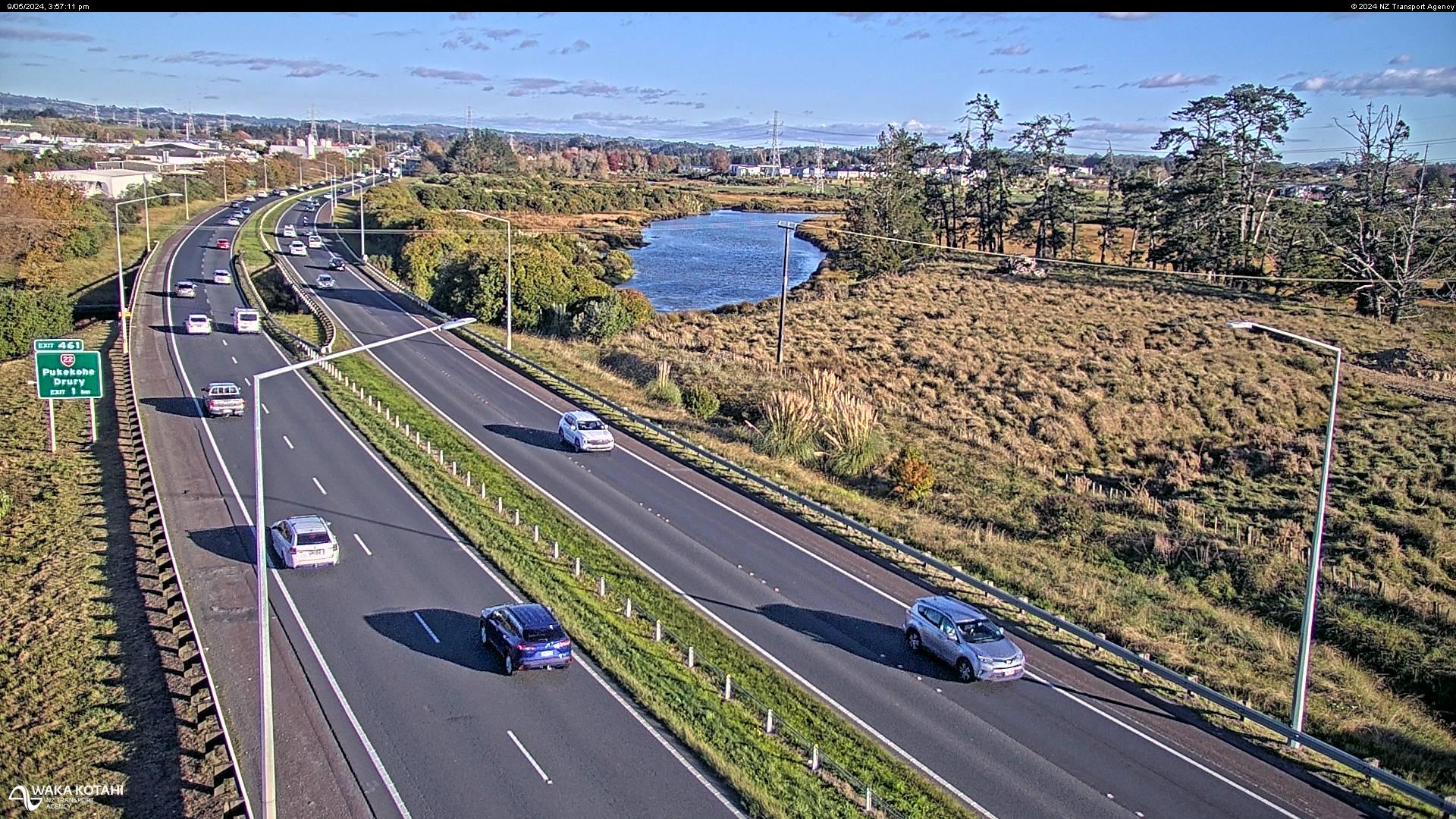
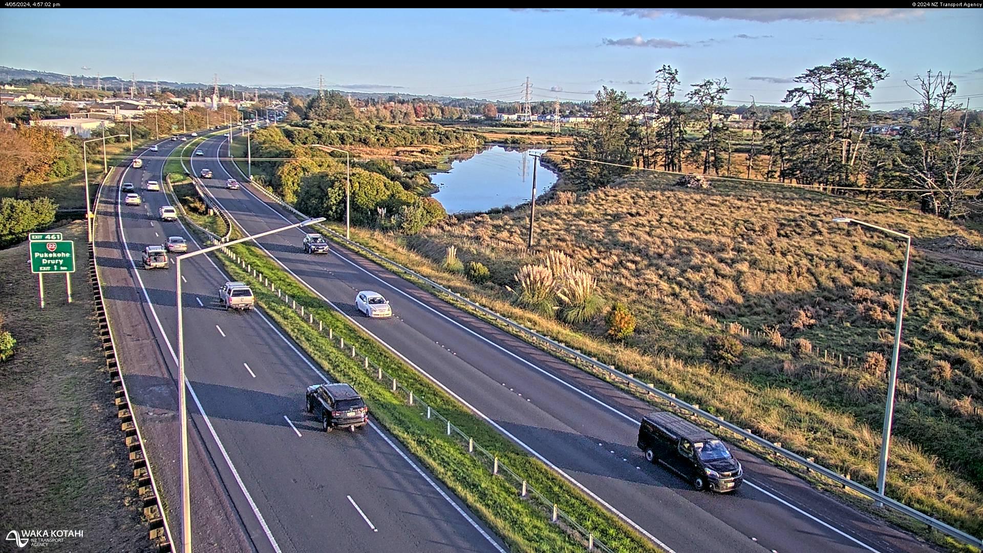
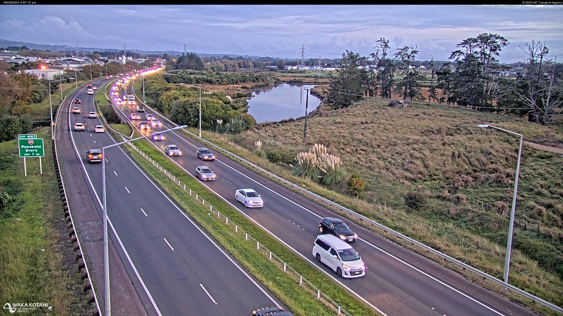
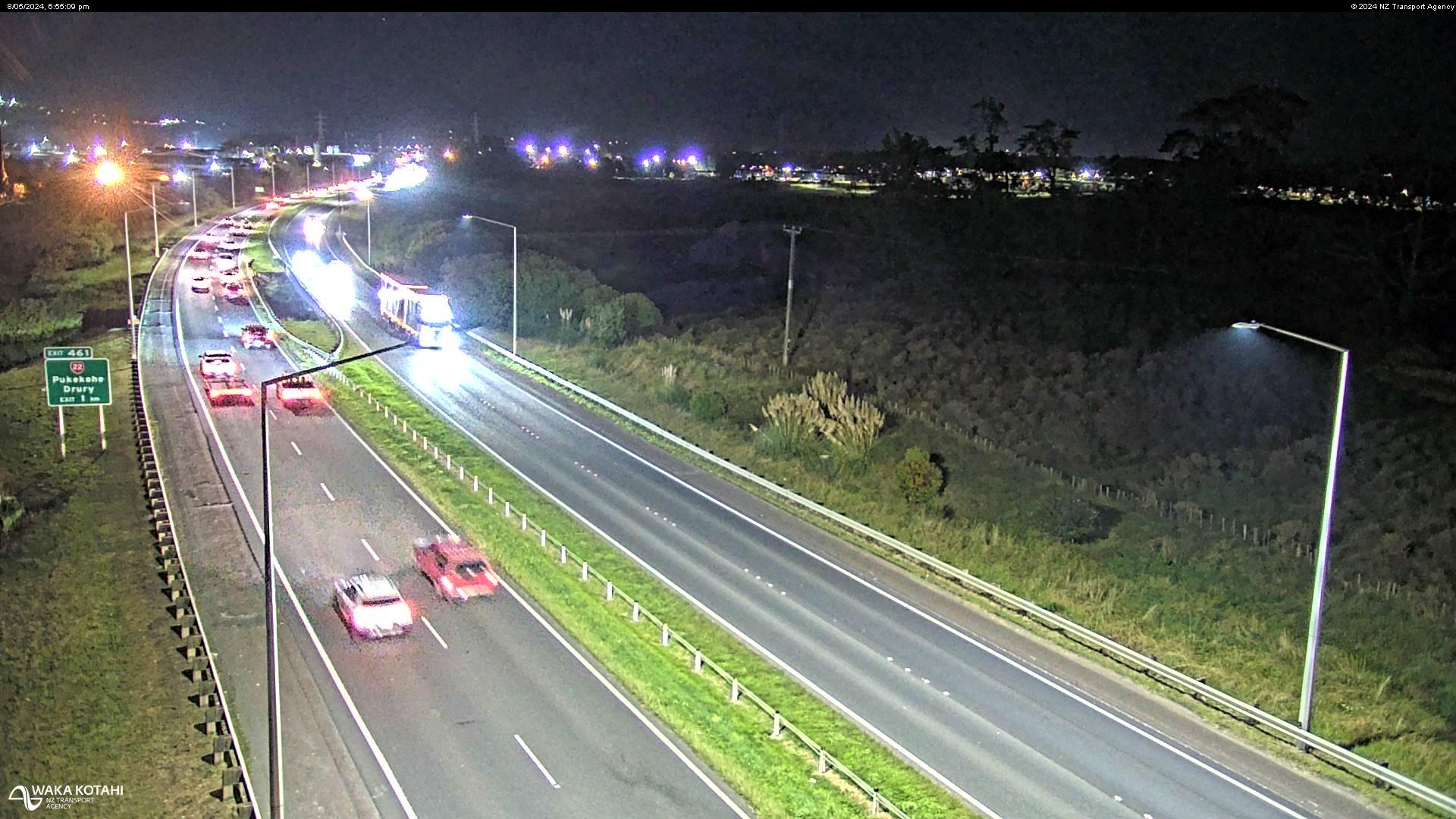
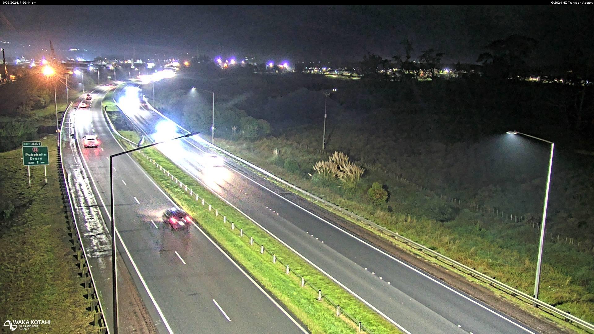
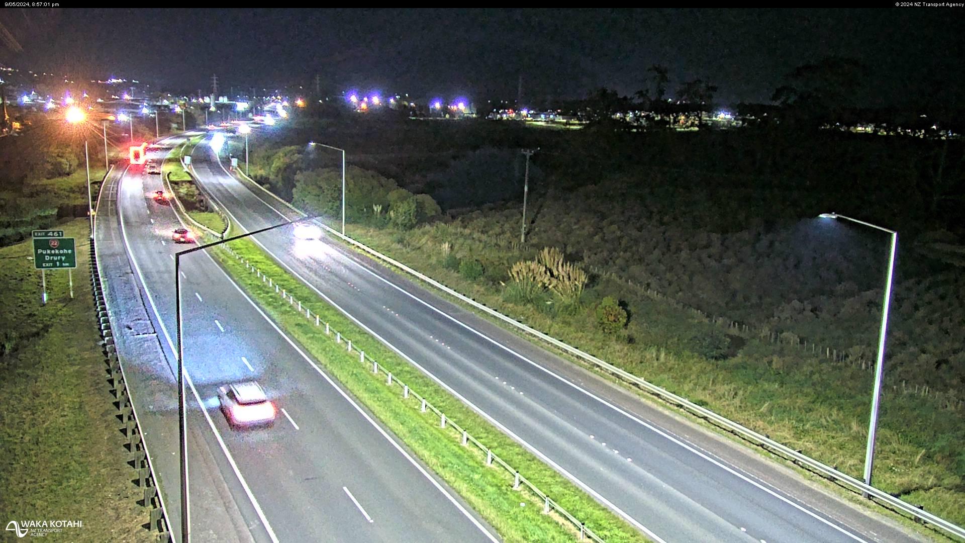
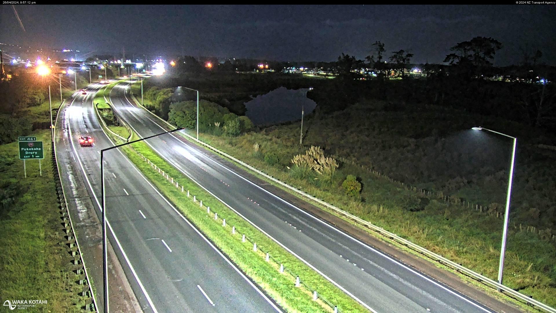
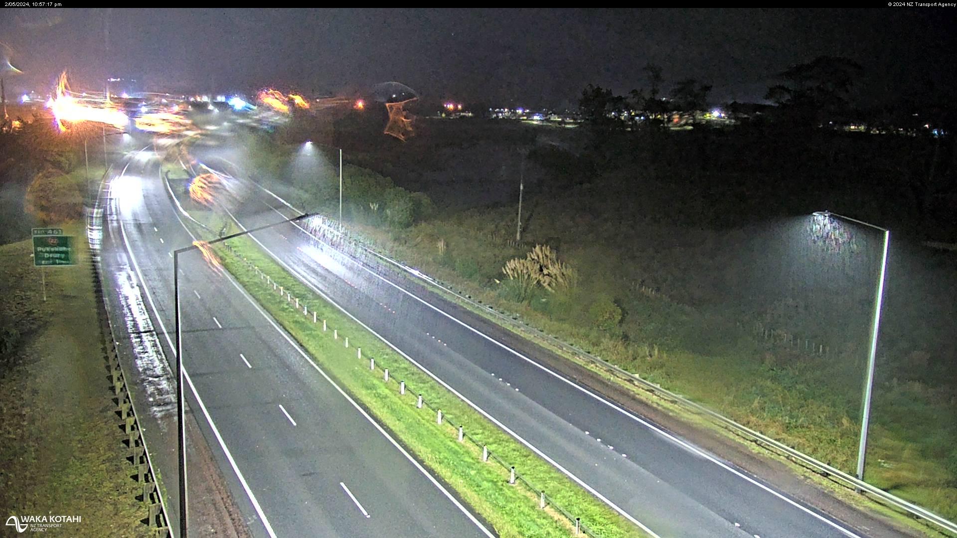
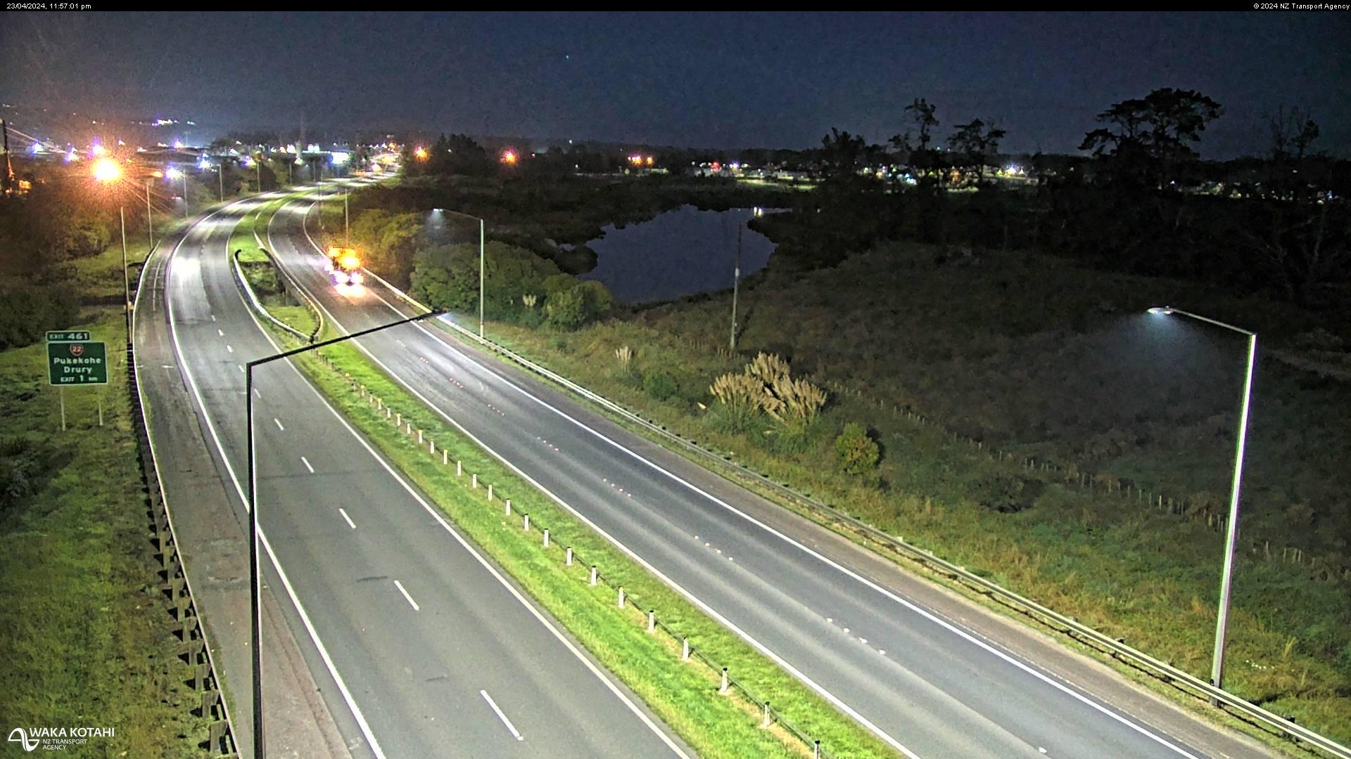
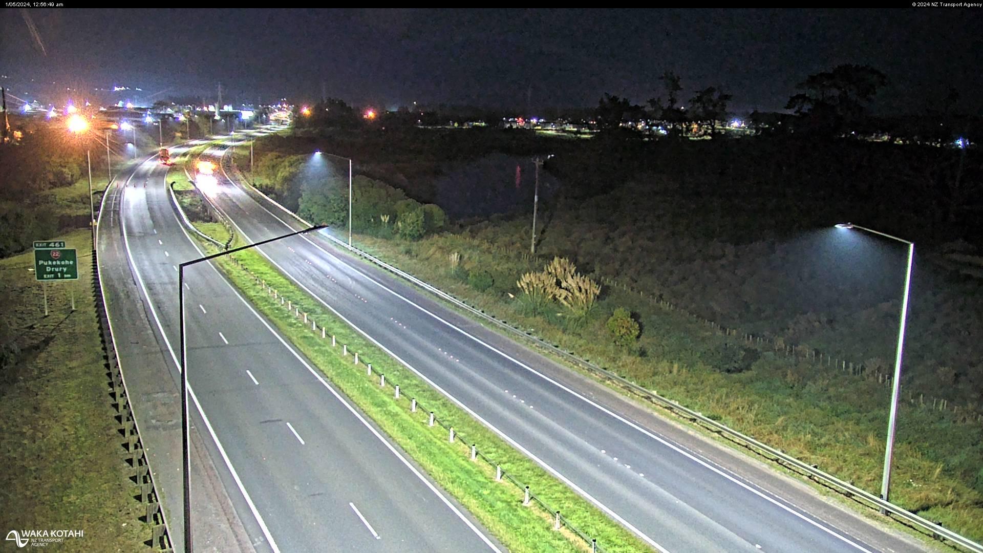
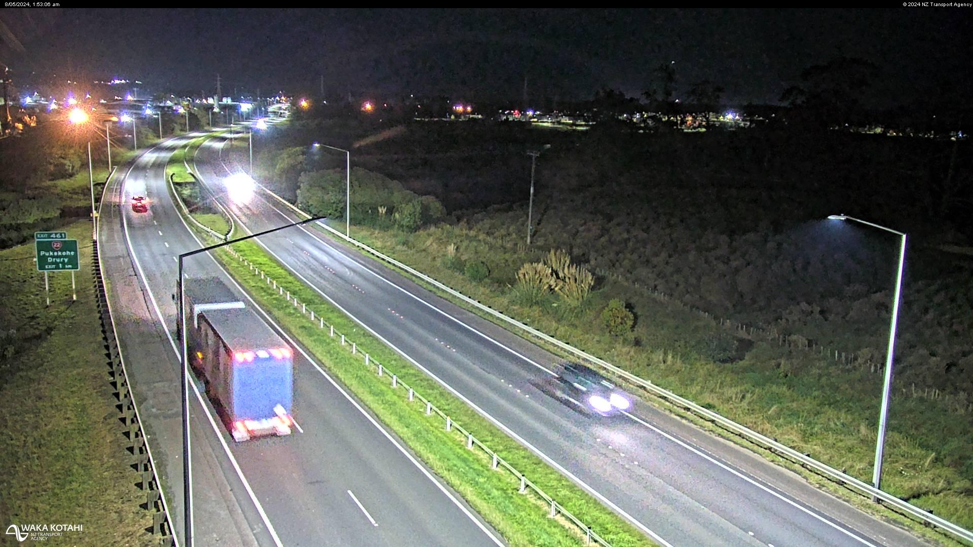
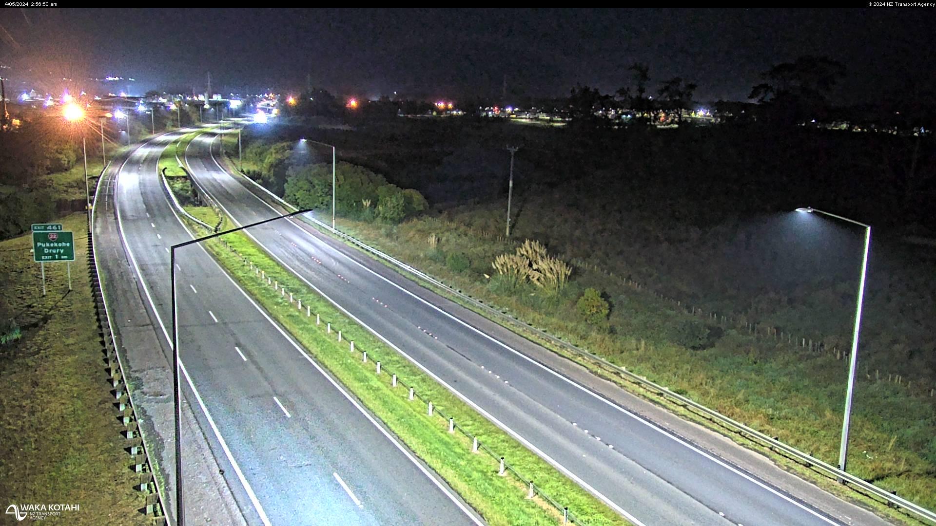
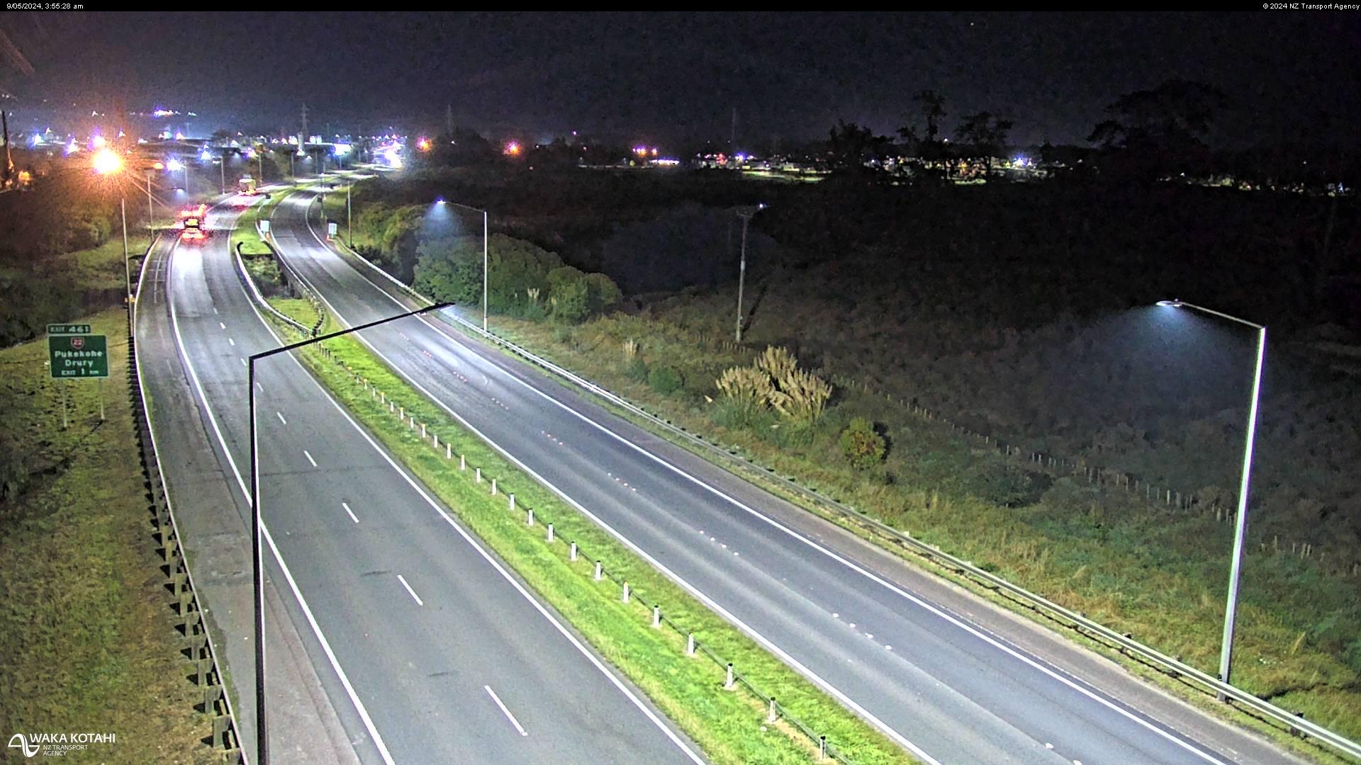
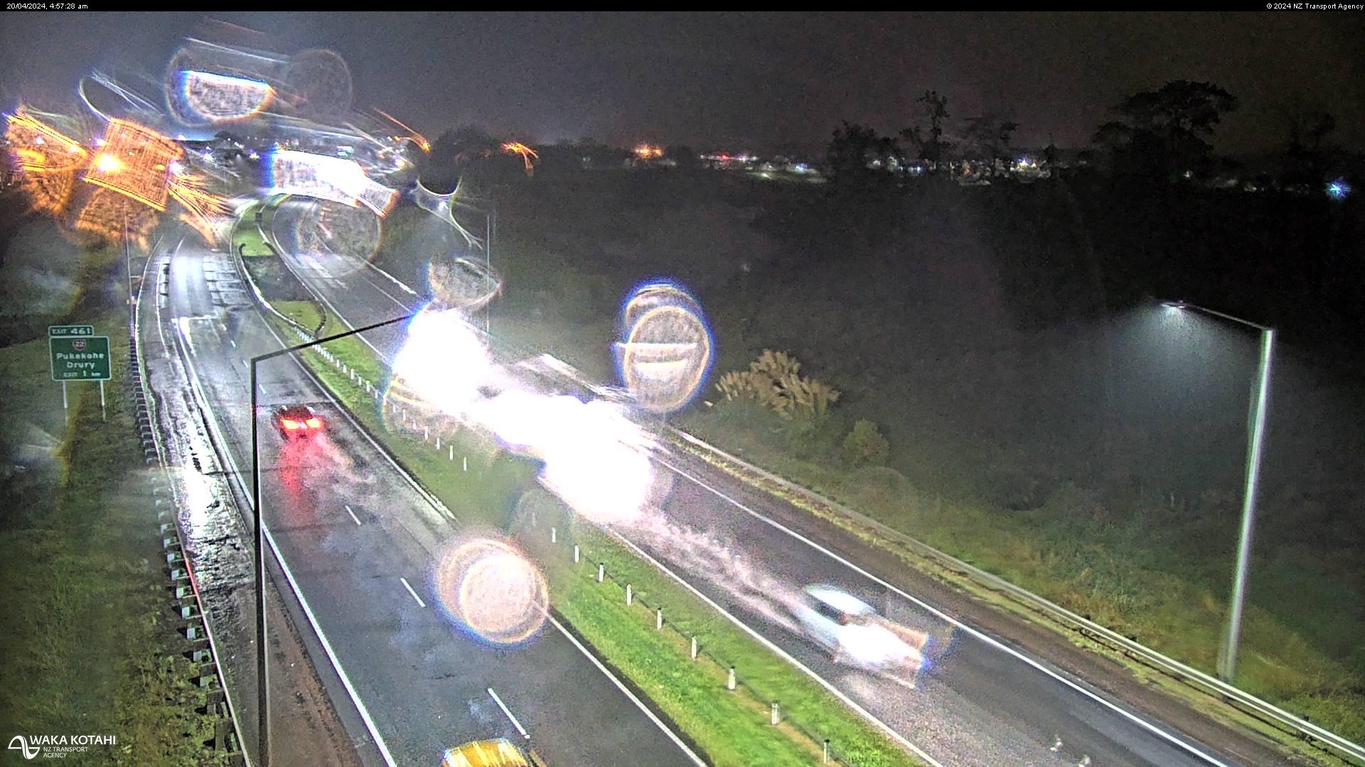
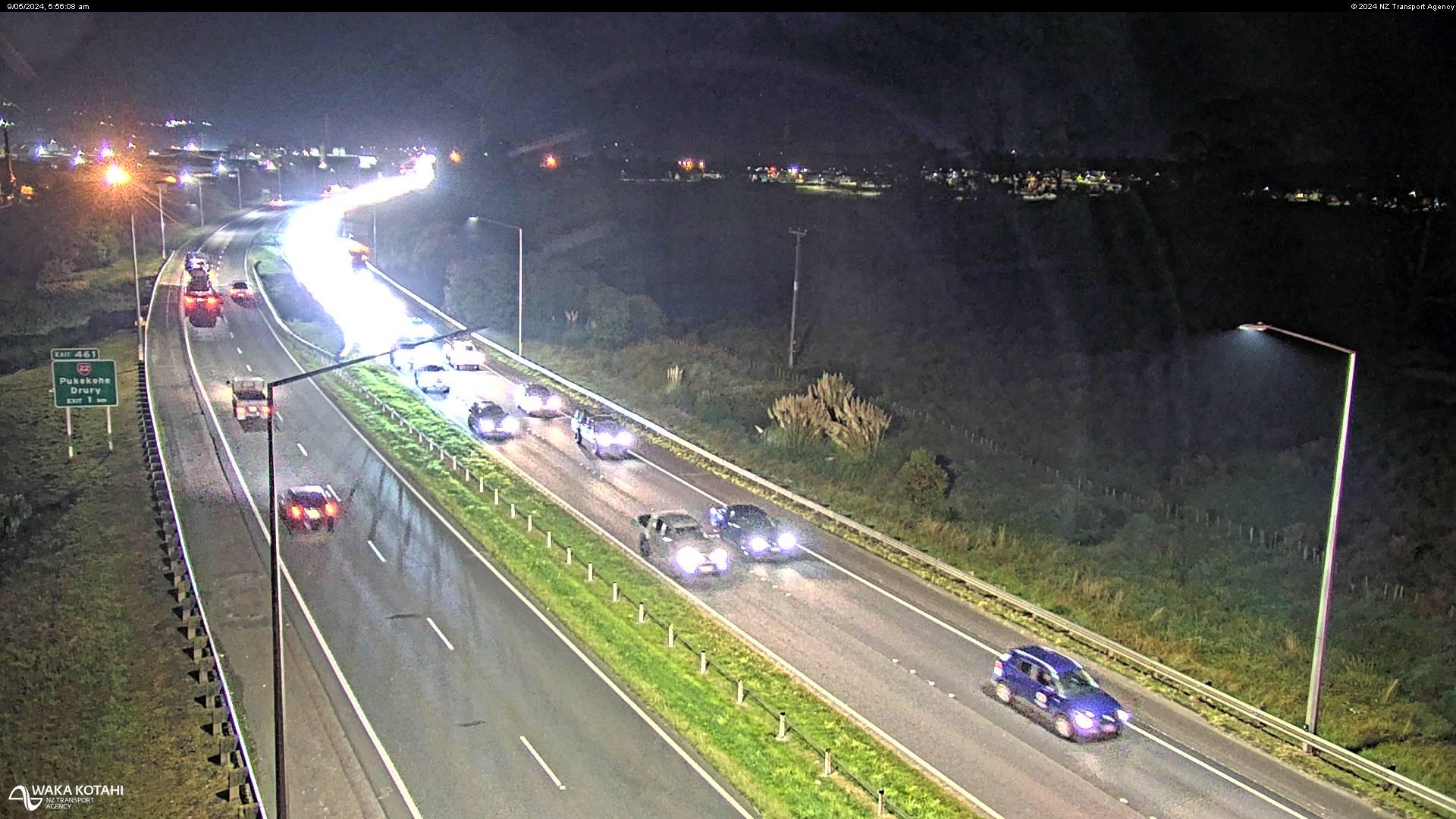
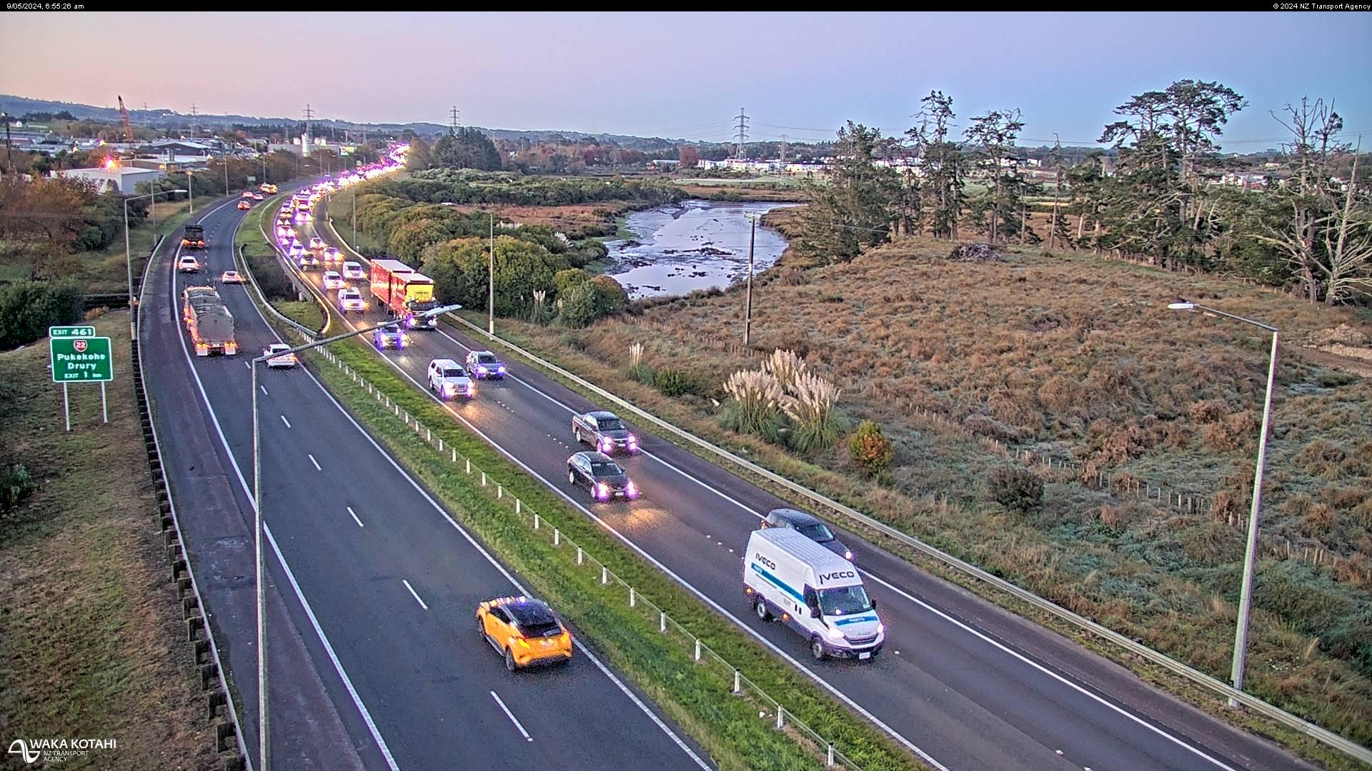
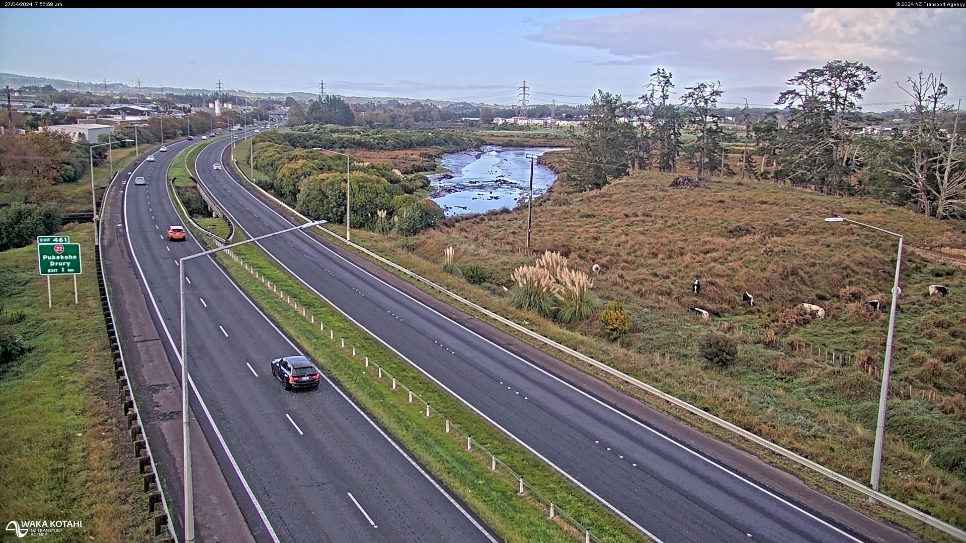
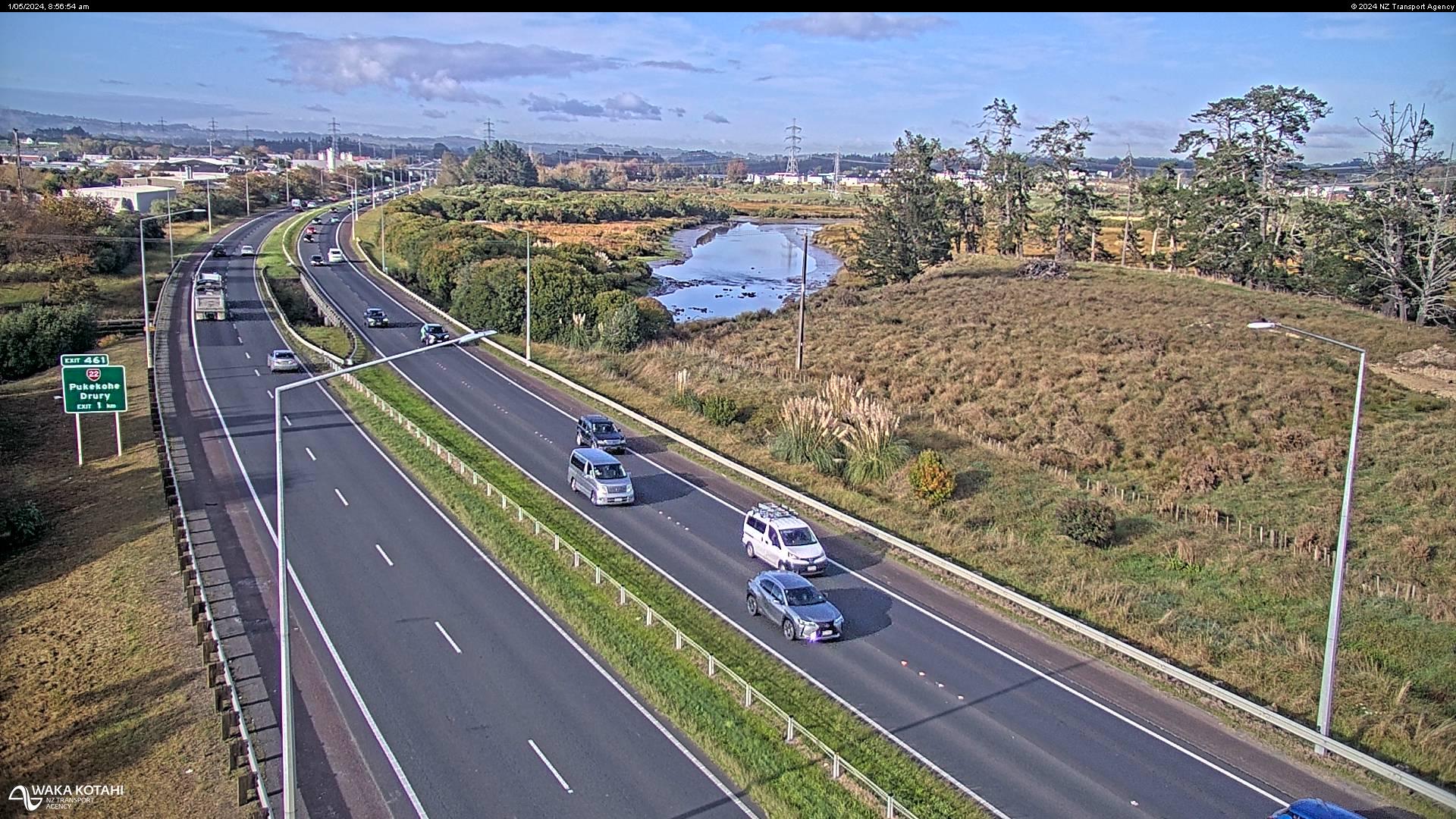
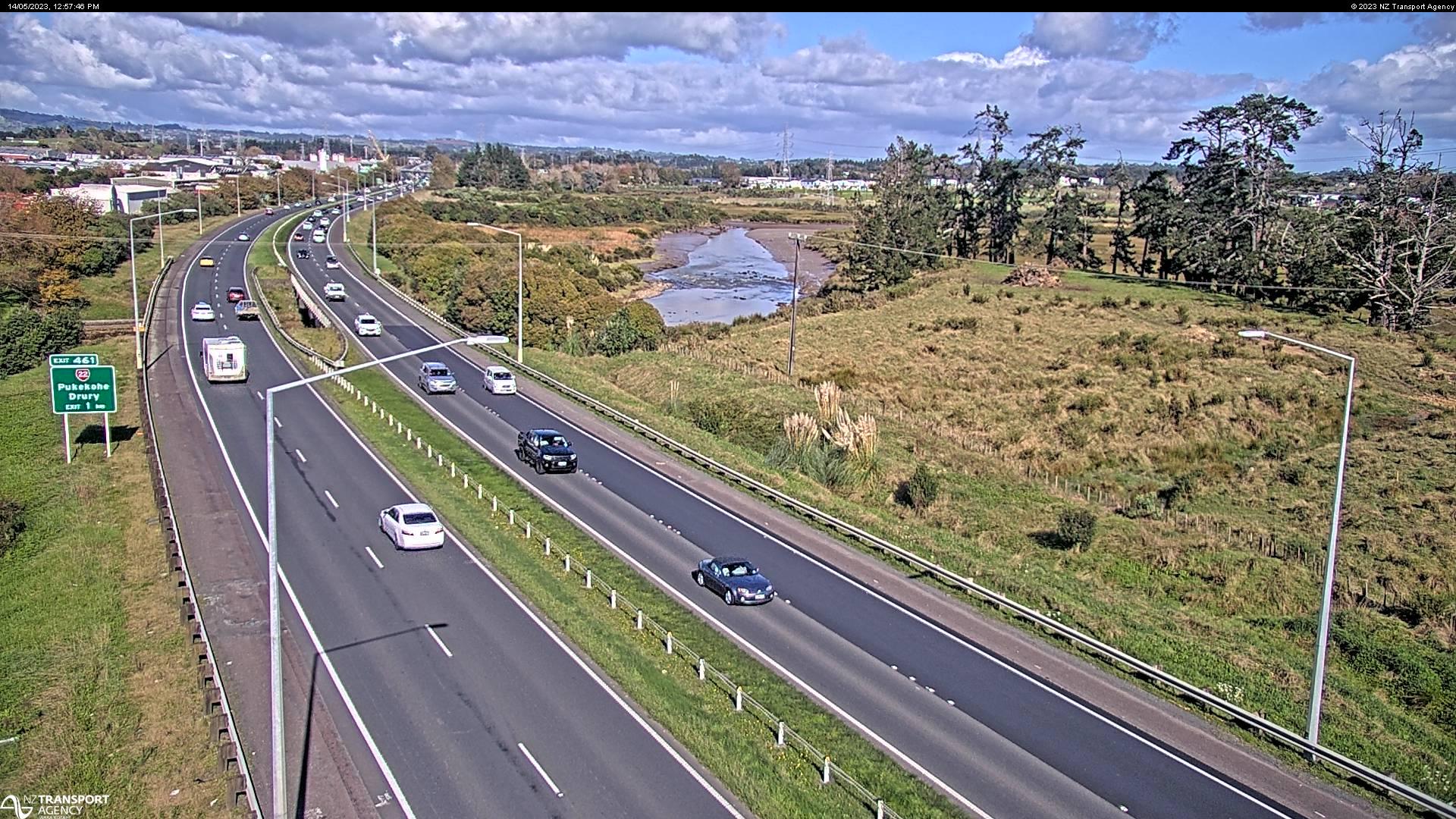
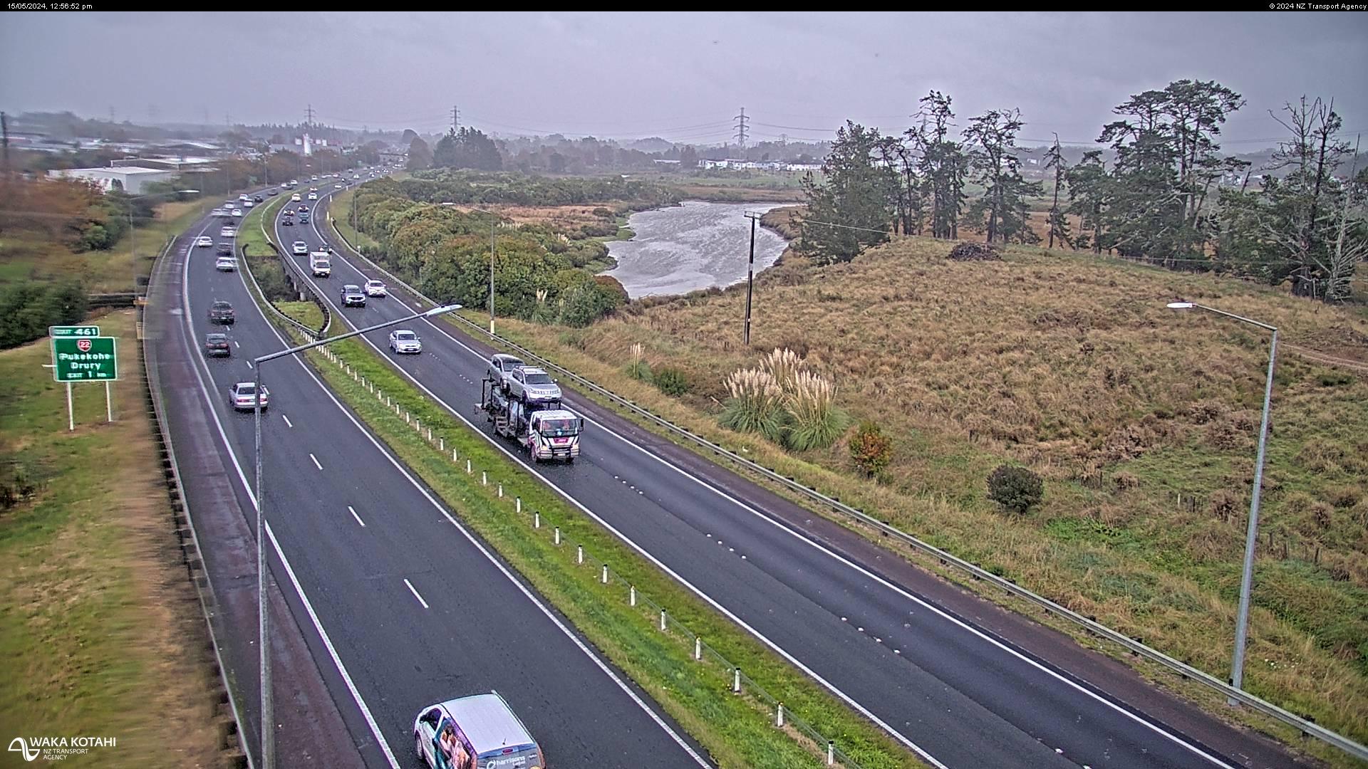
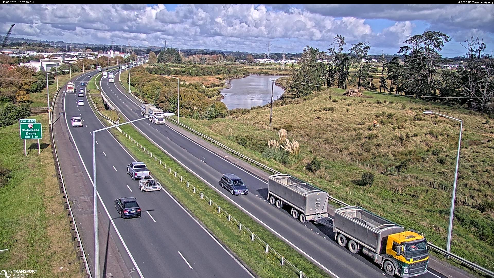
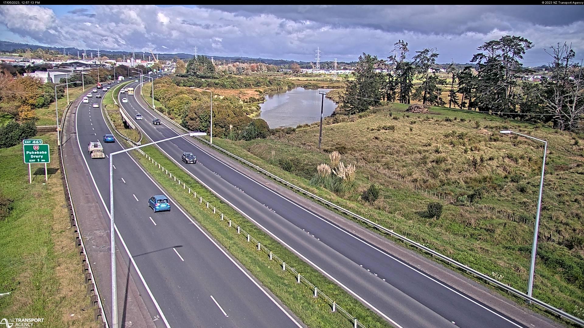
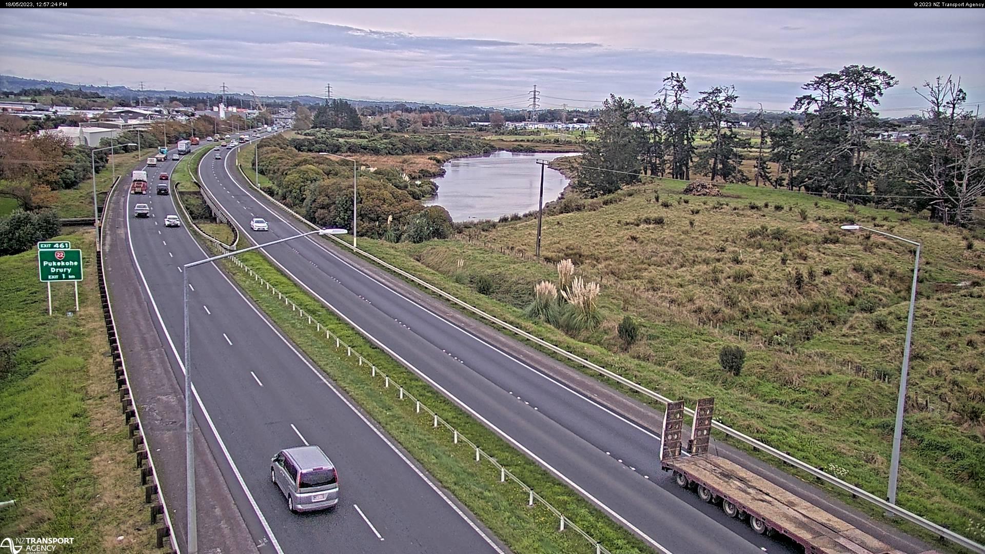
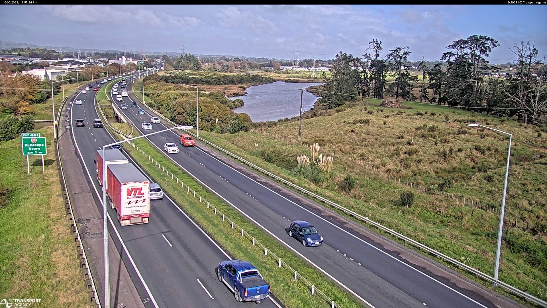
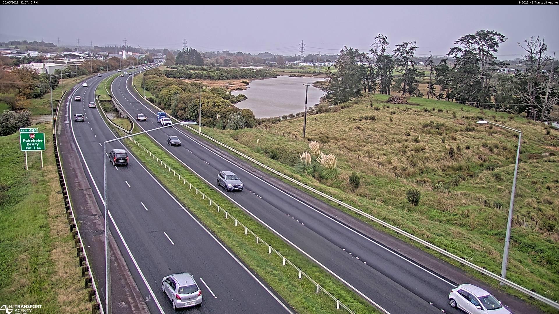
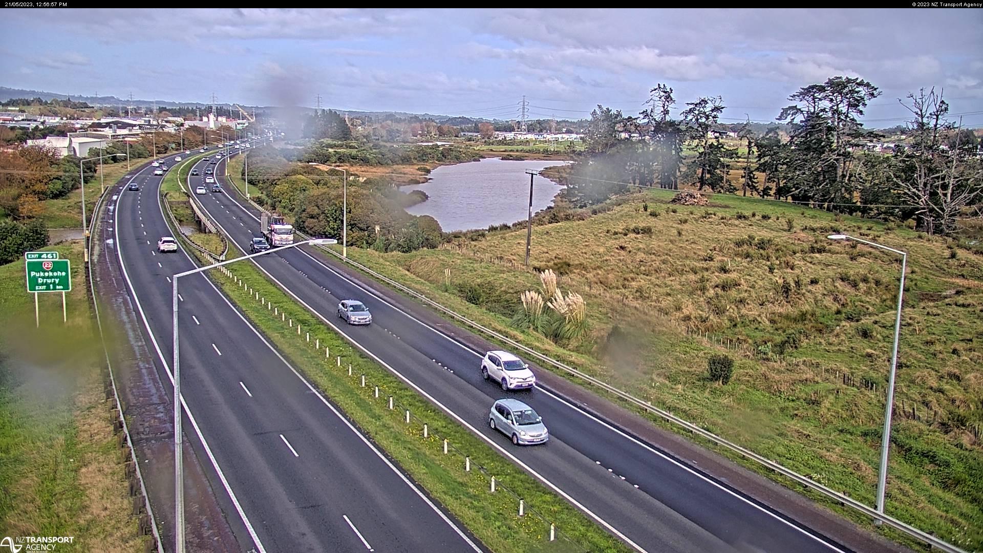
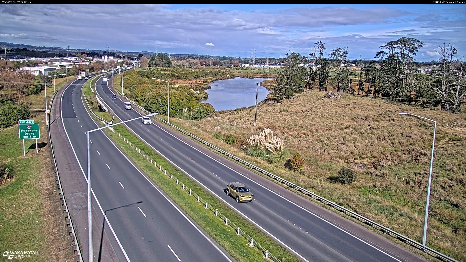
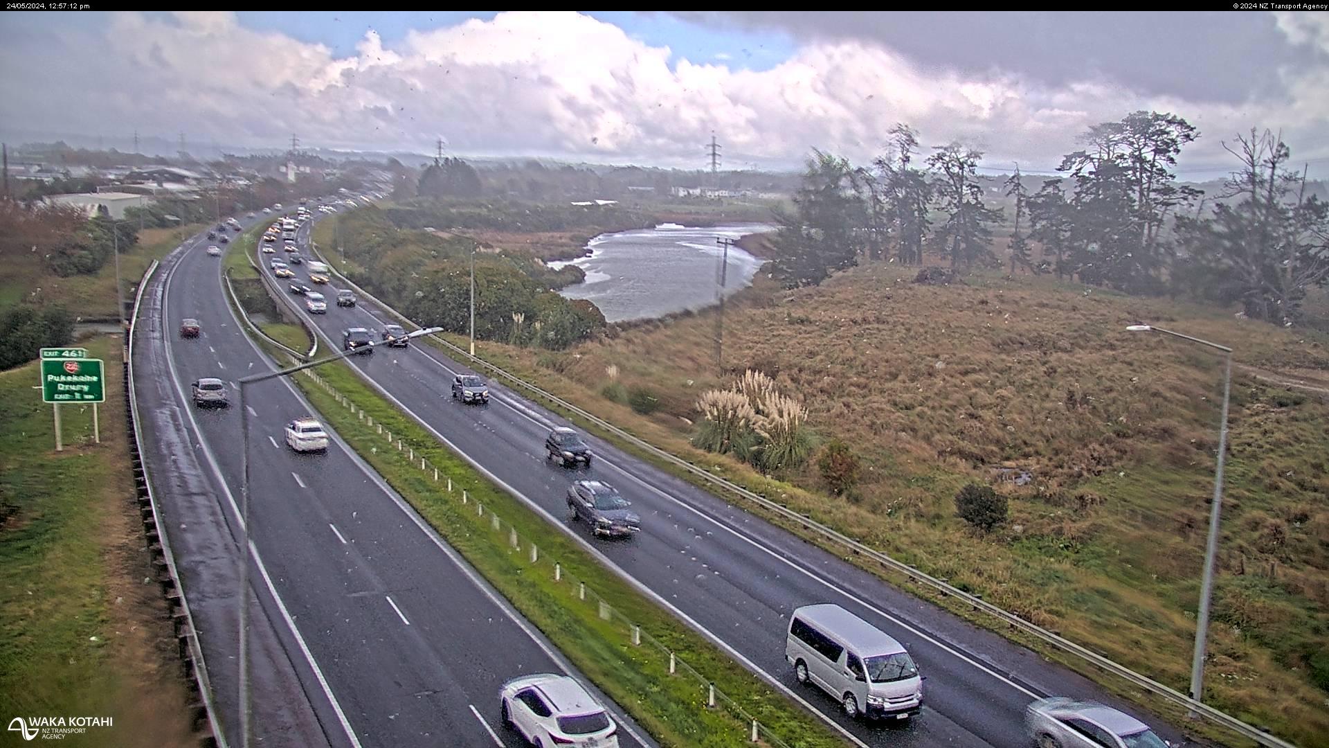
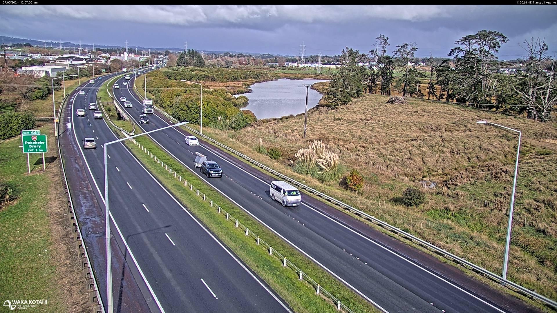
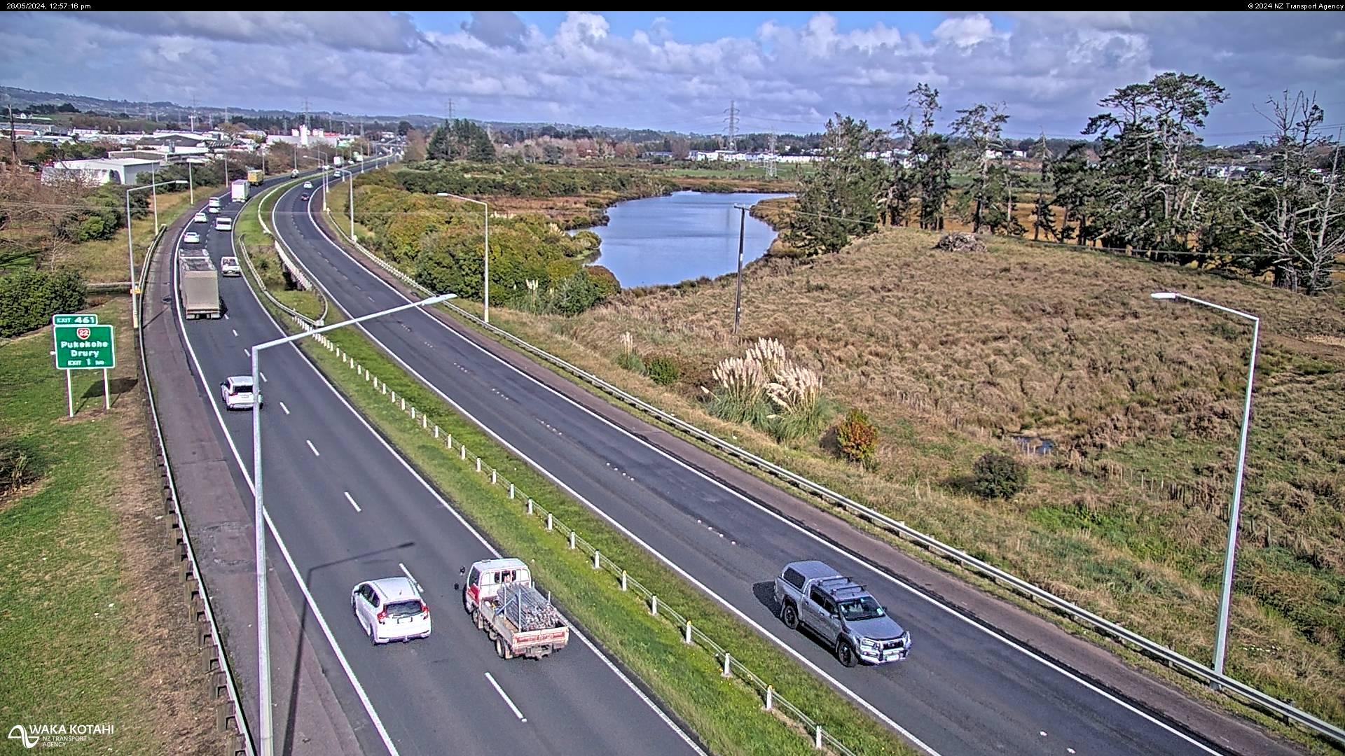
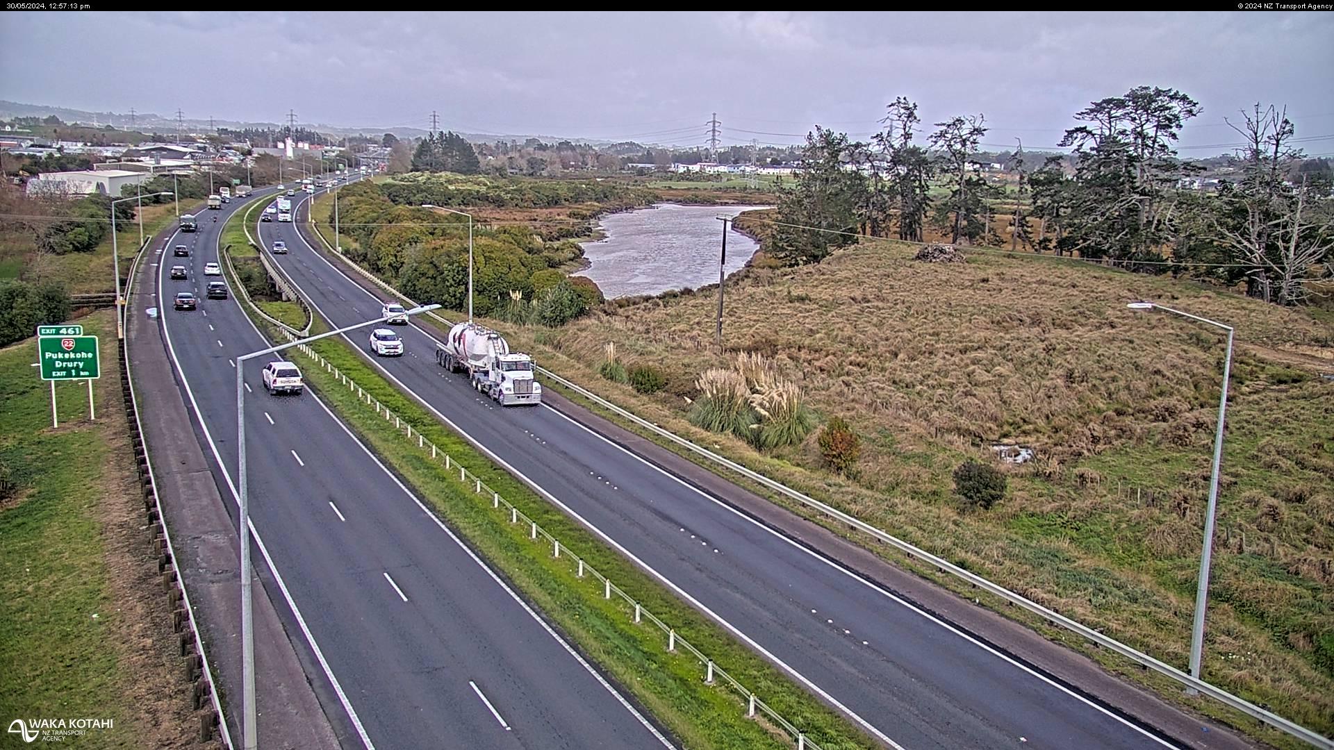
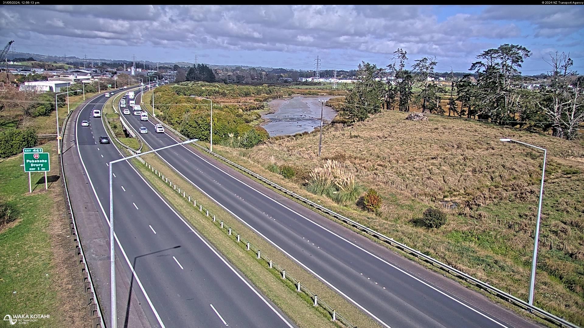
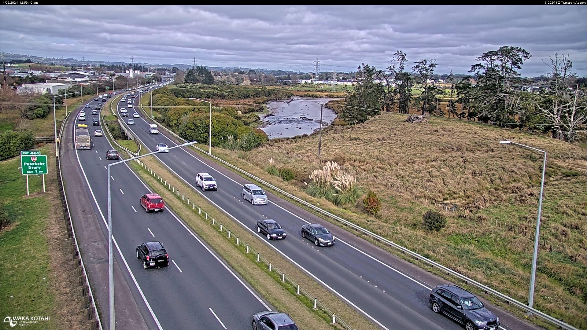
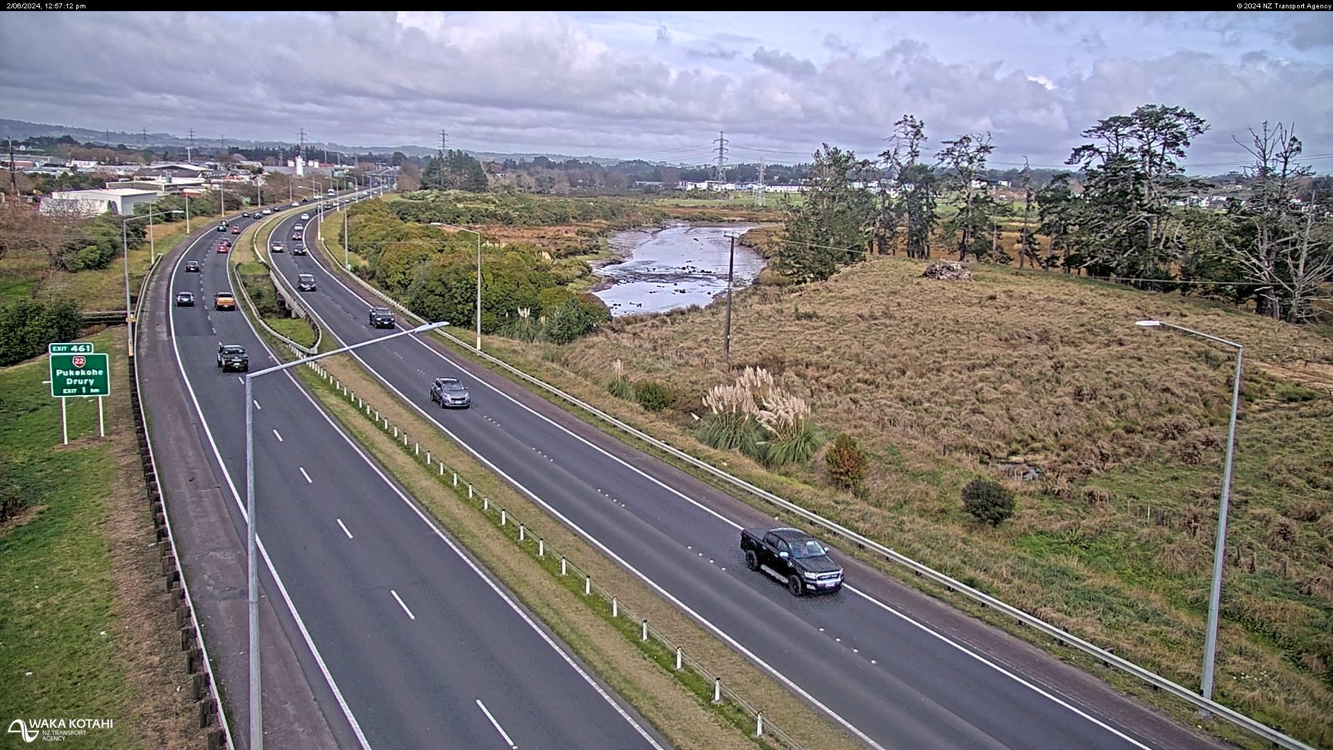
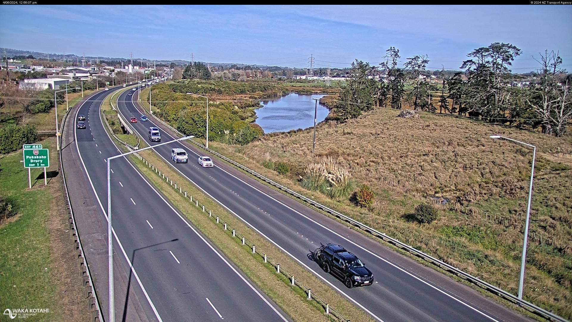
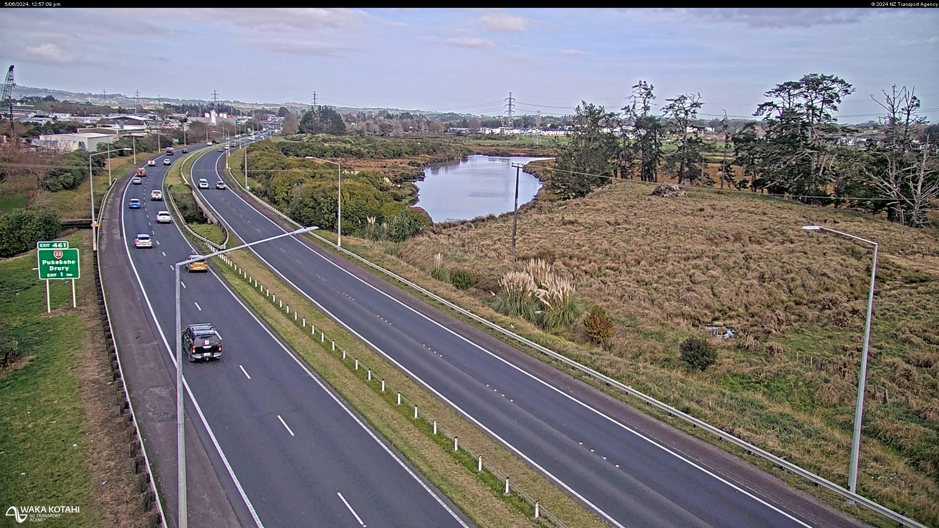
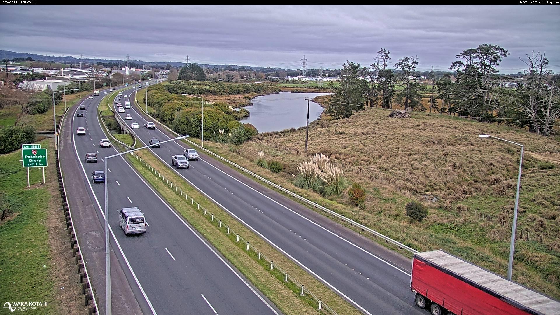
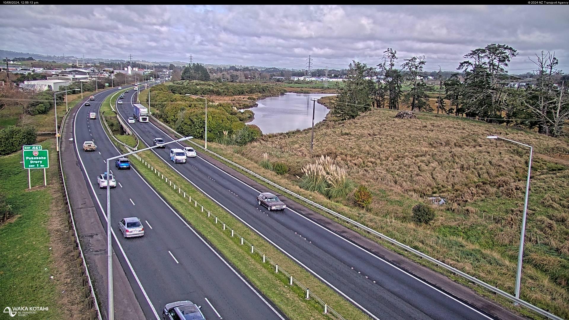
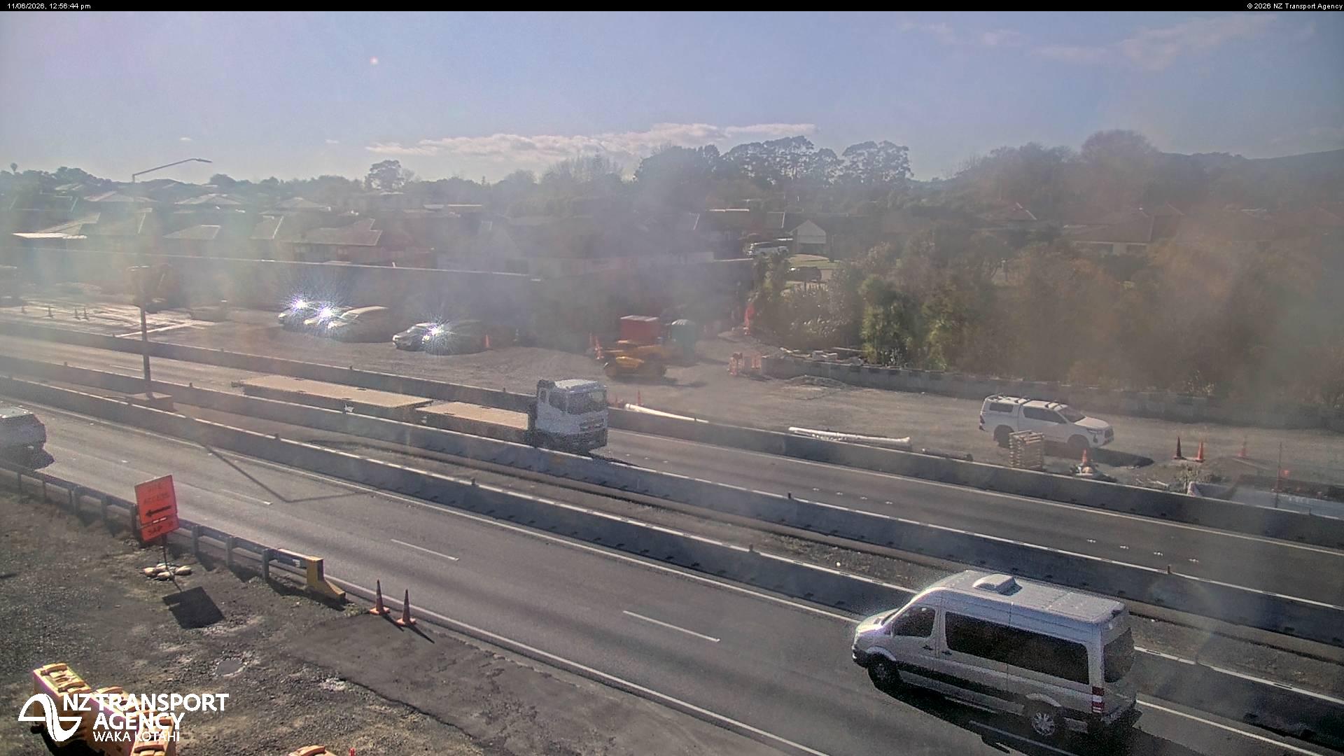
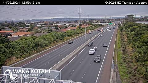
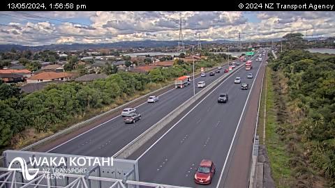
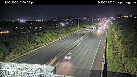
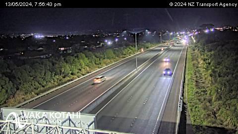
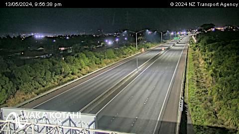
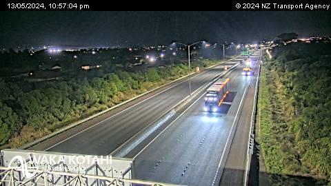
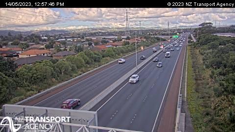
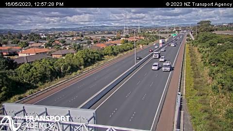
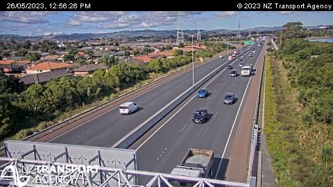
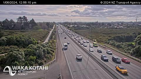
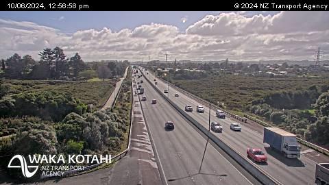
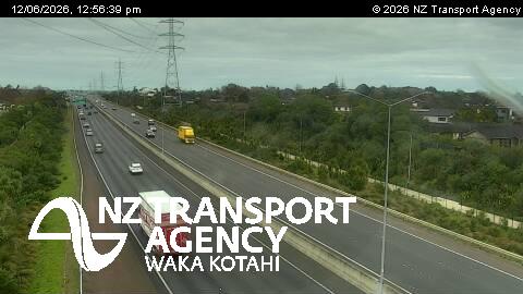
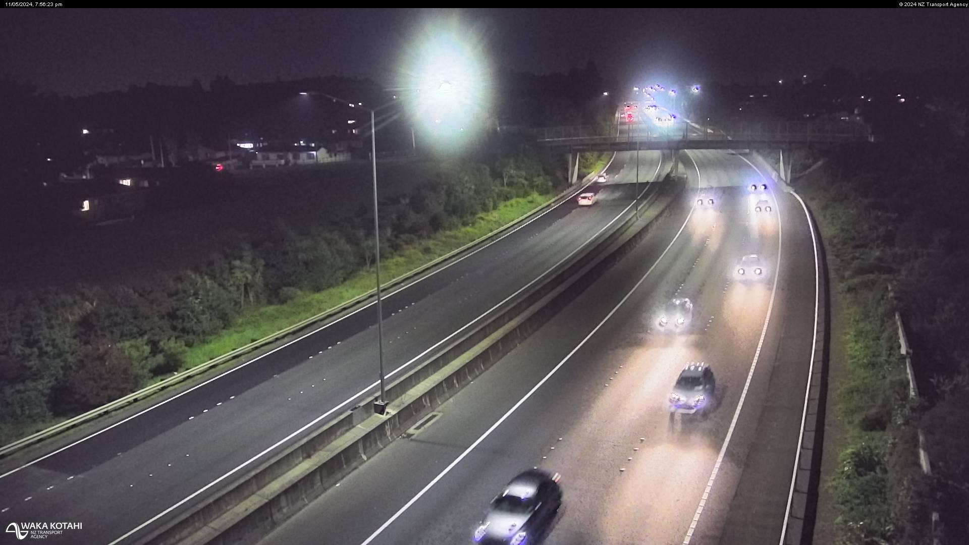
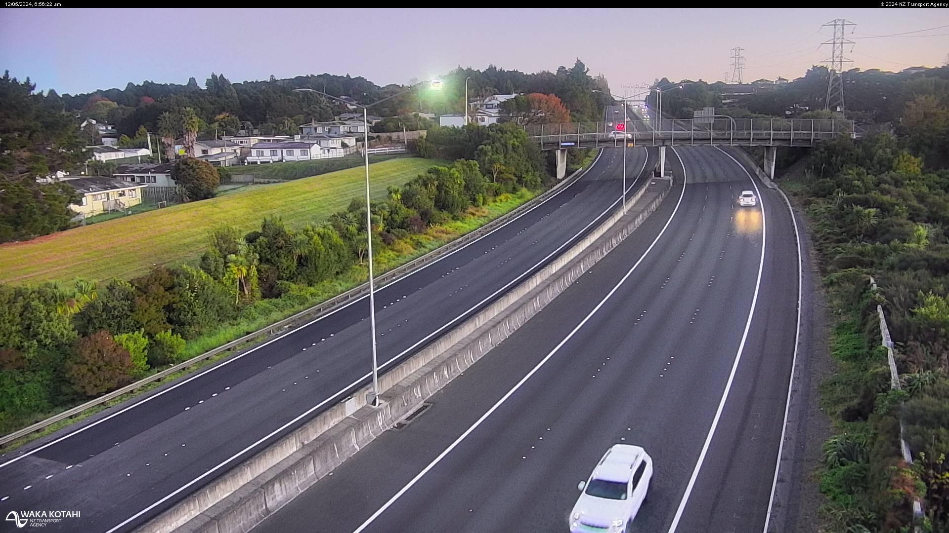
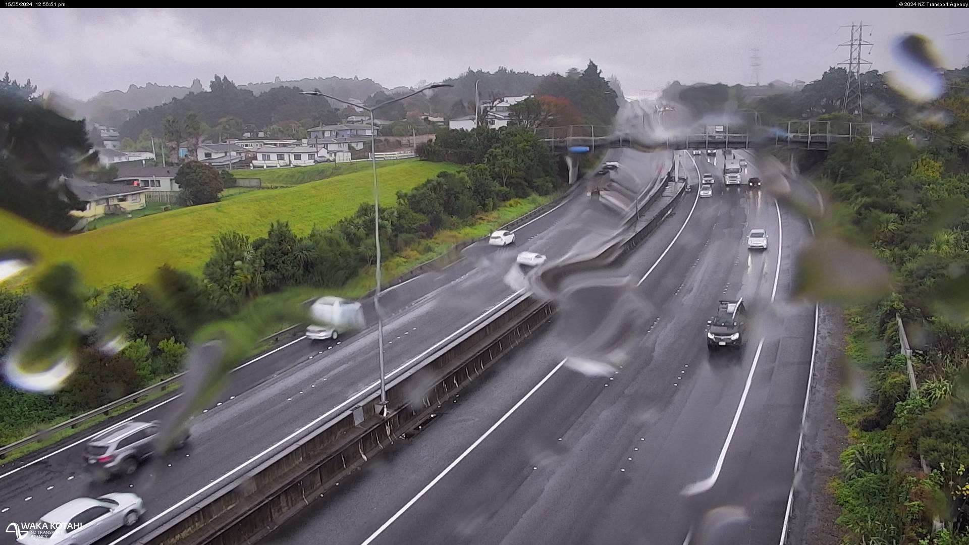
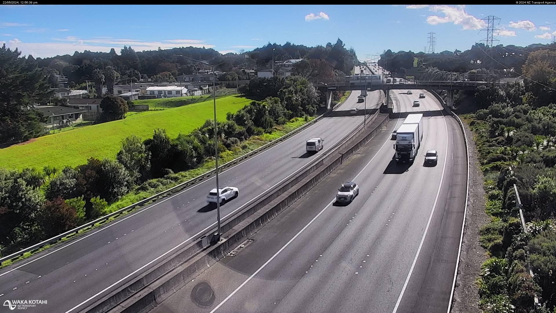
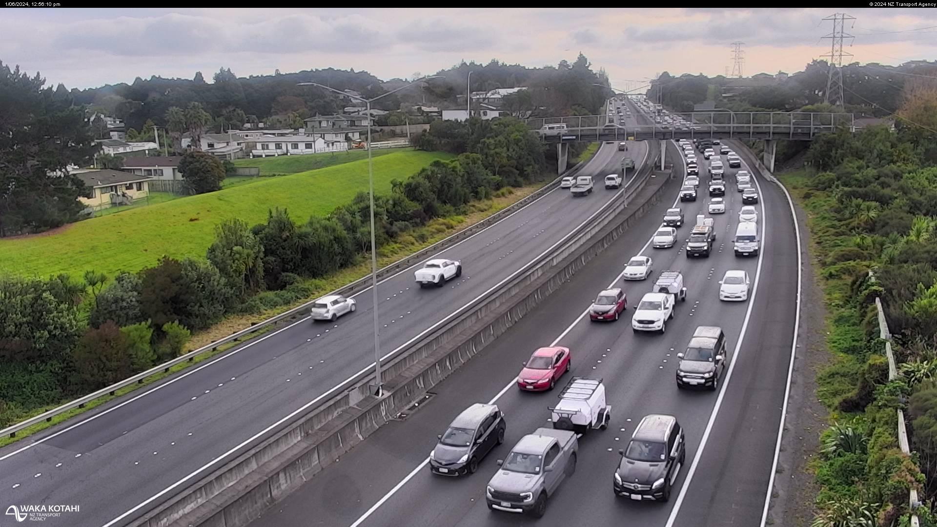
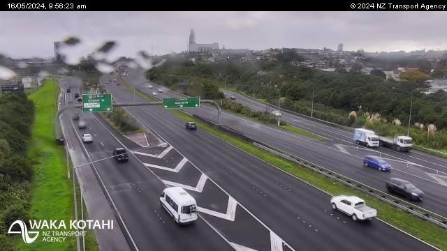
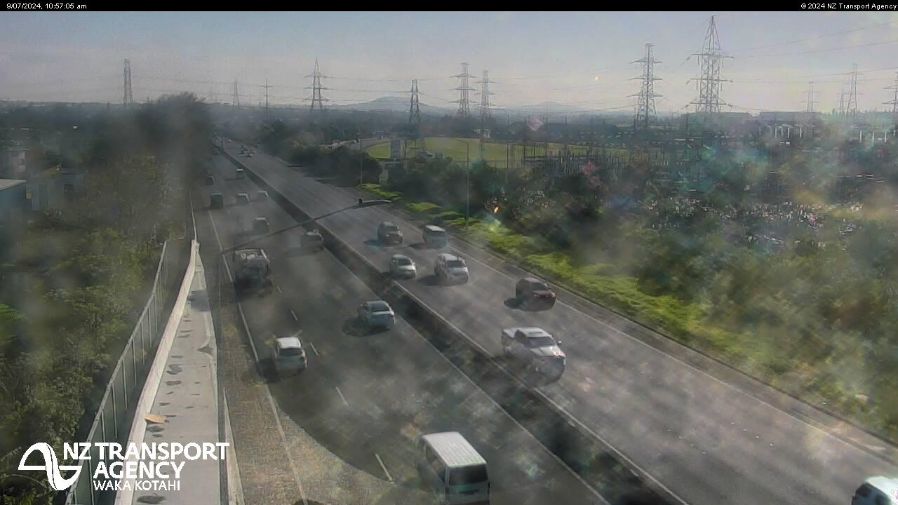
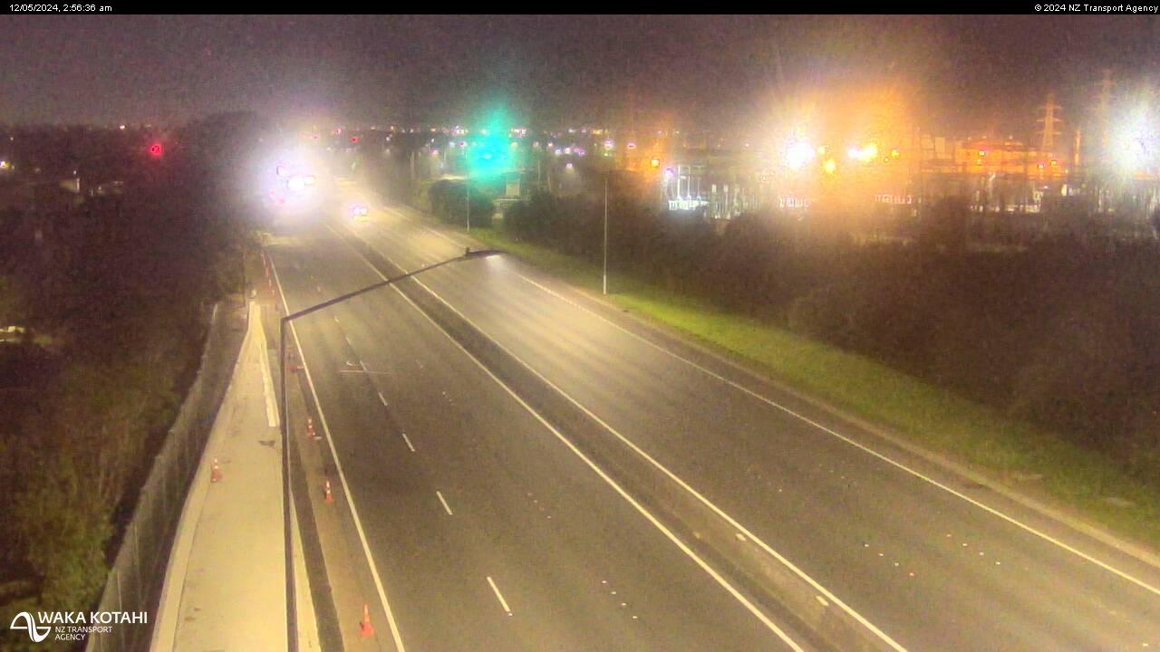
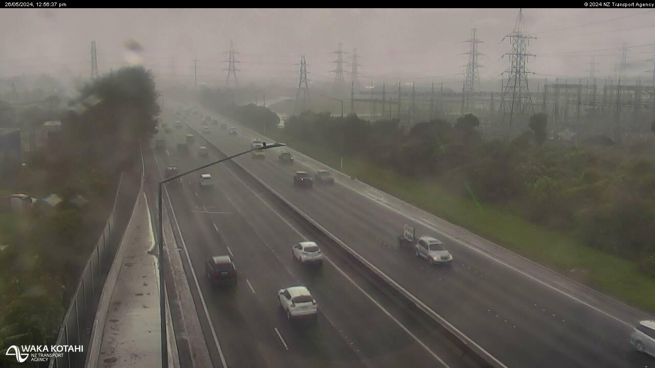
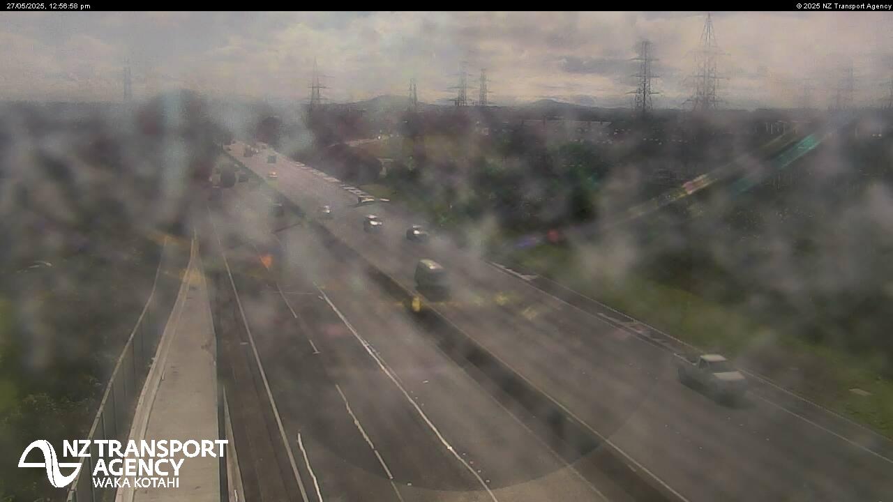
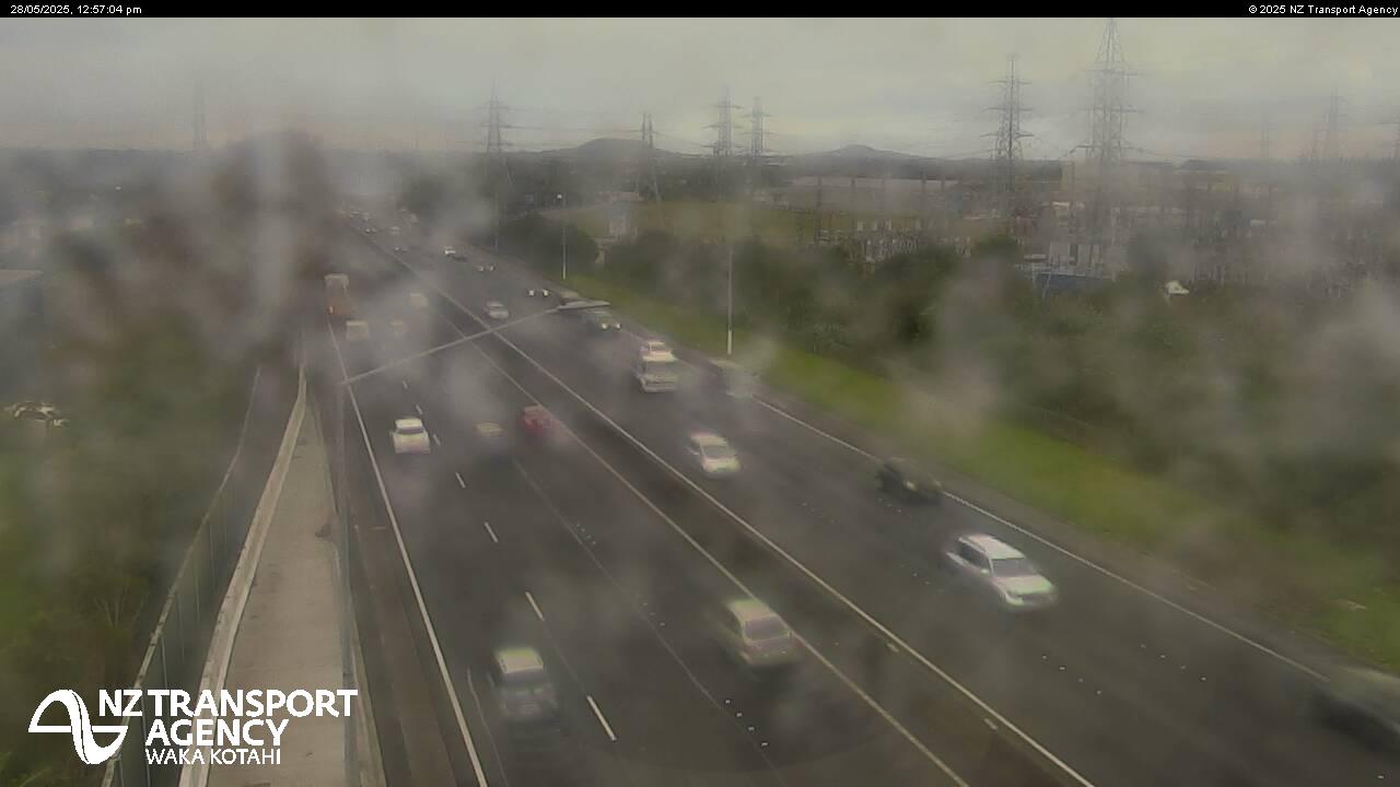
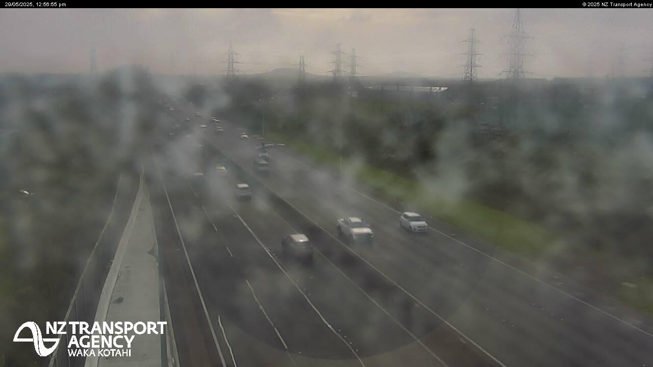
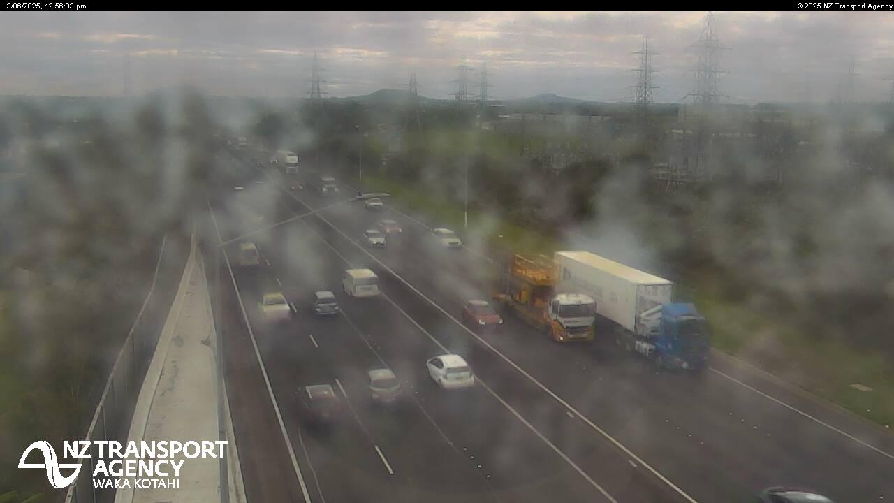
Drury, New Zealand - 199.6 miles from Awatoto: Traffic SH1, Slippery Creek - A view of the current traffic conditions in southern direction.
Operator: NZ Transport Agency
Operator: NZ Transport Agency


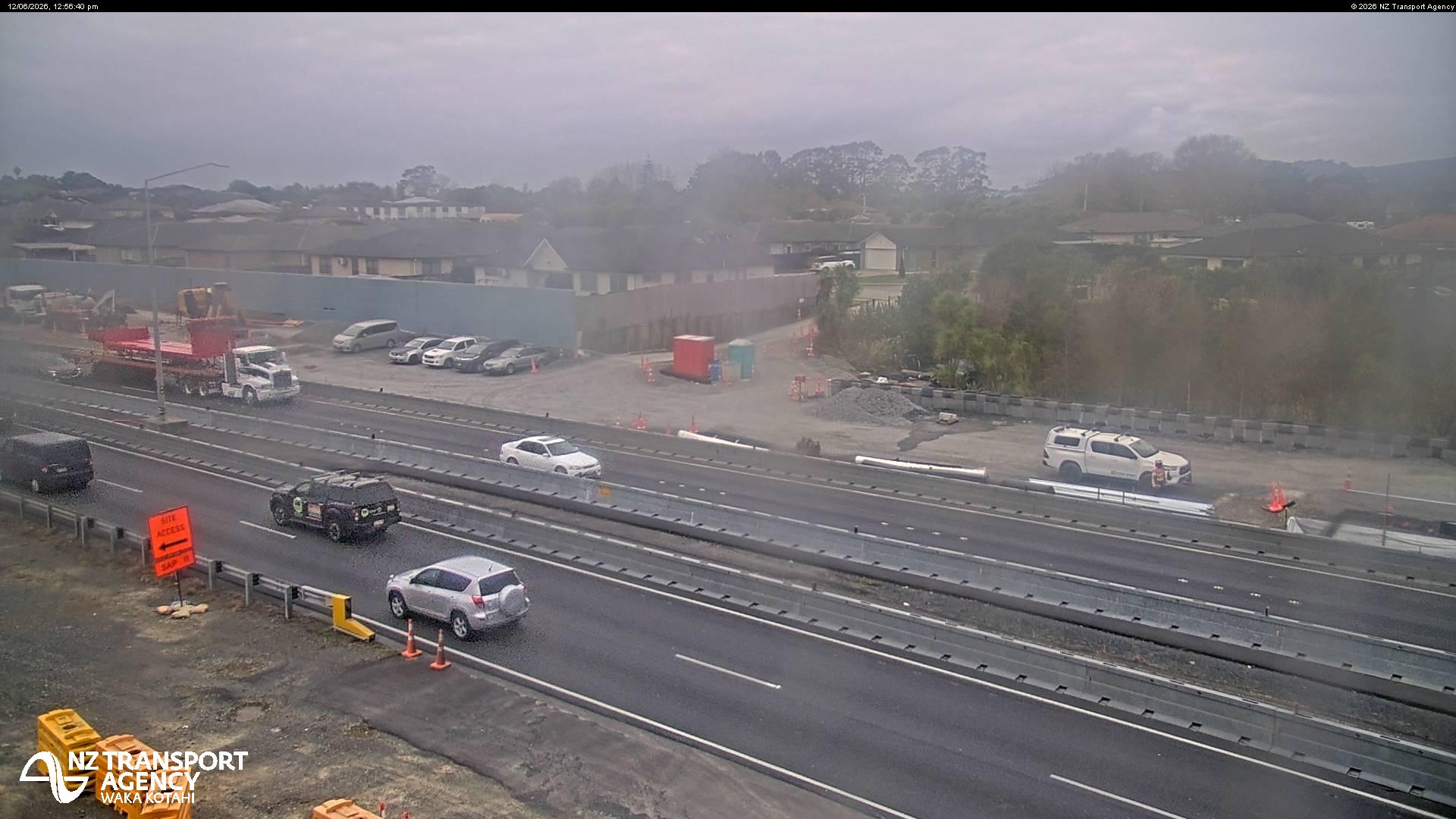
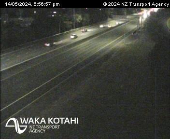
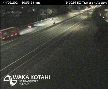
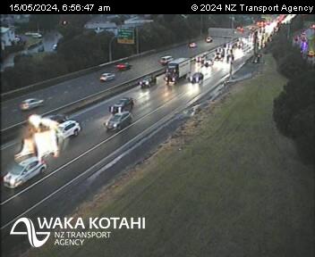
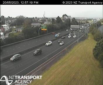
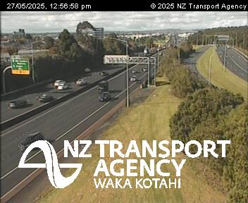
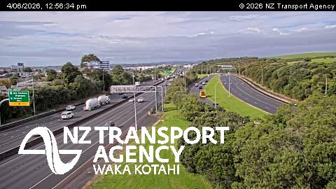
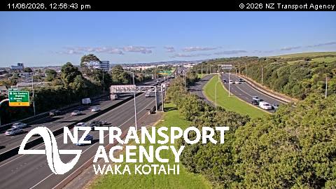
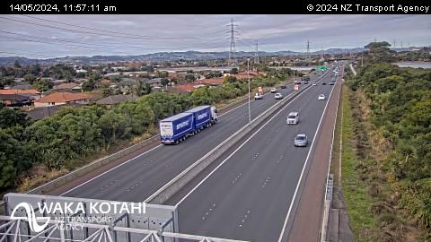
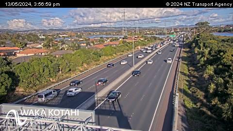
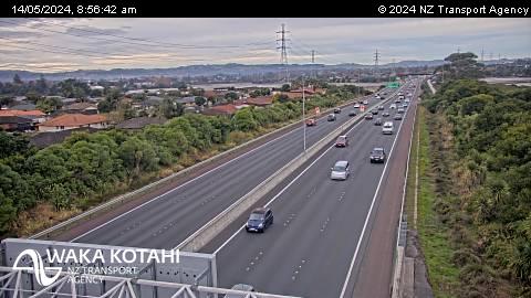
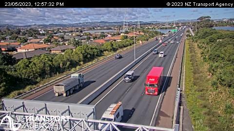
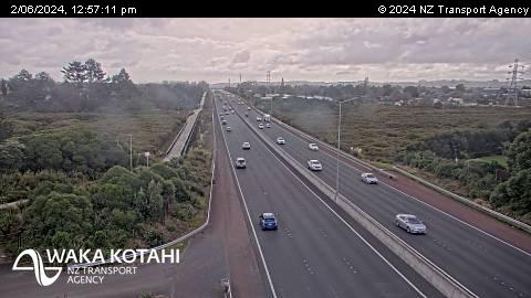
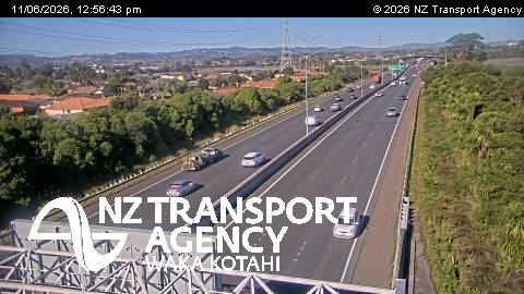
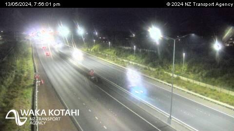
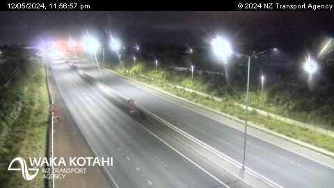
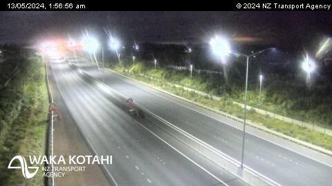
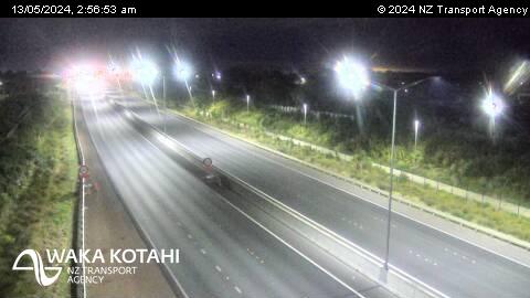
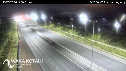
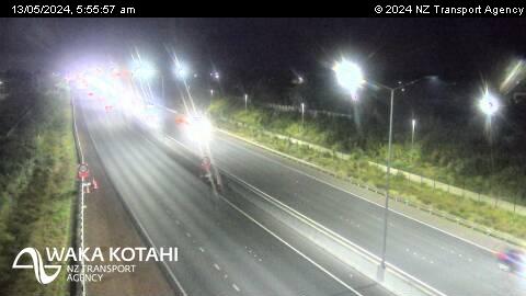
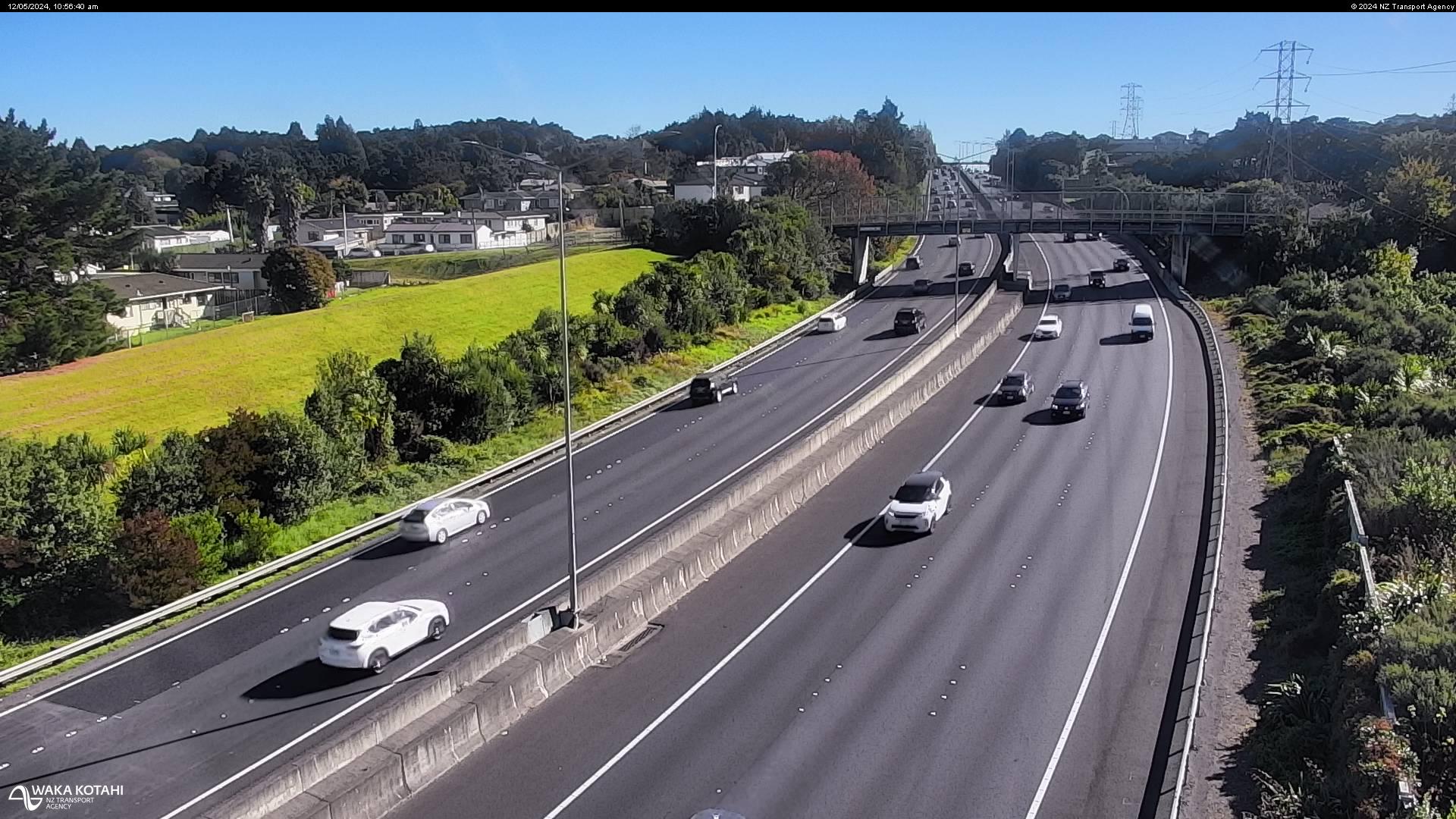
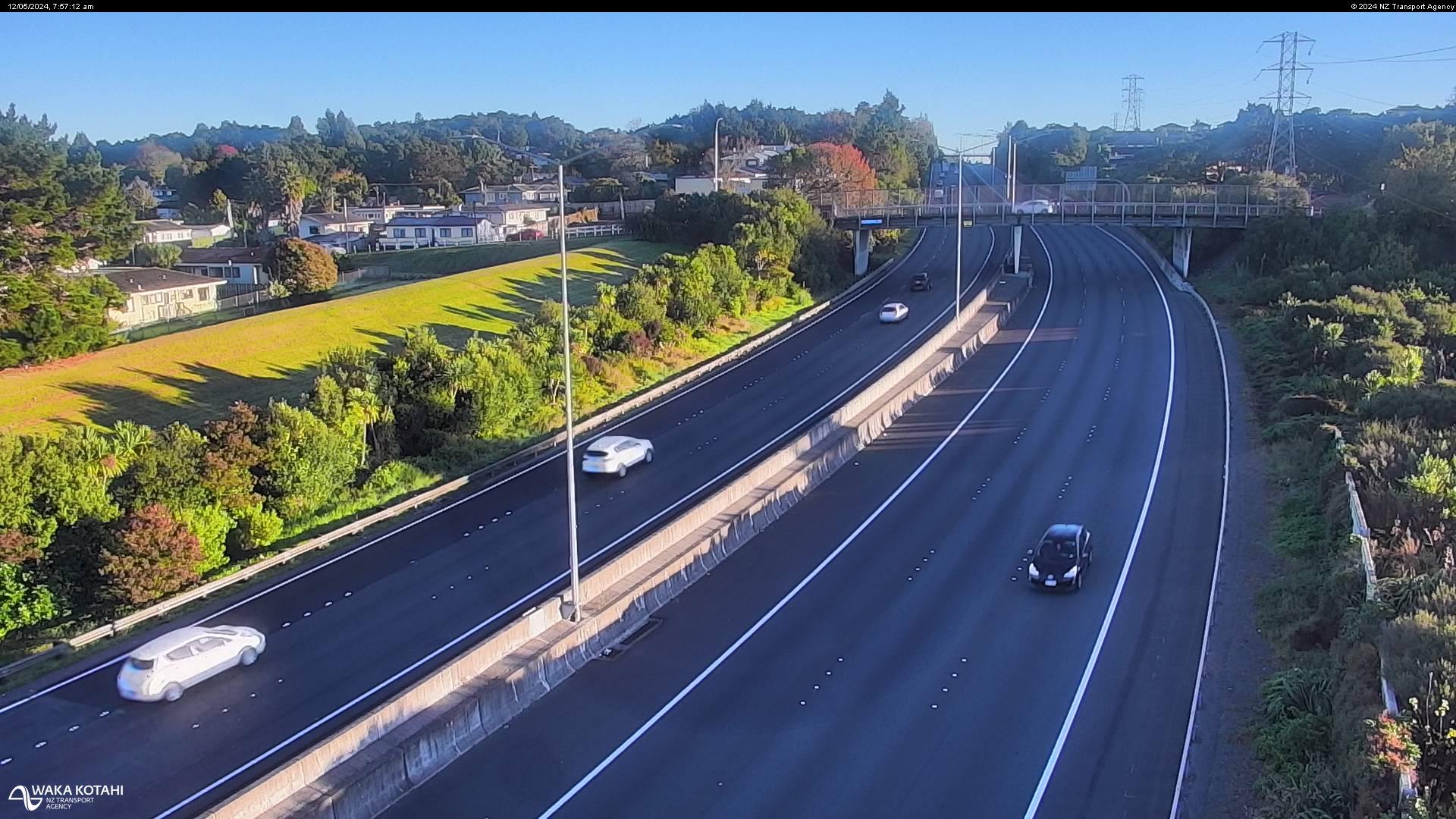
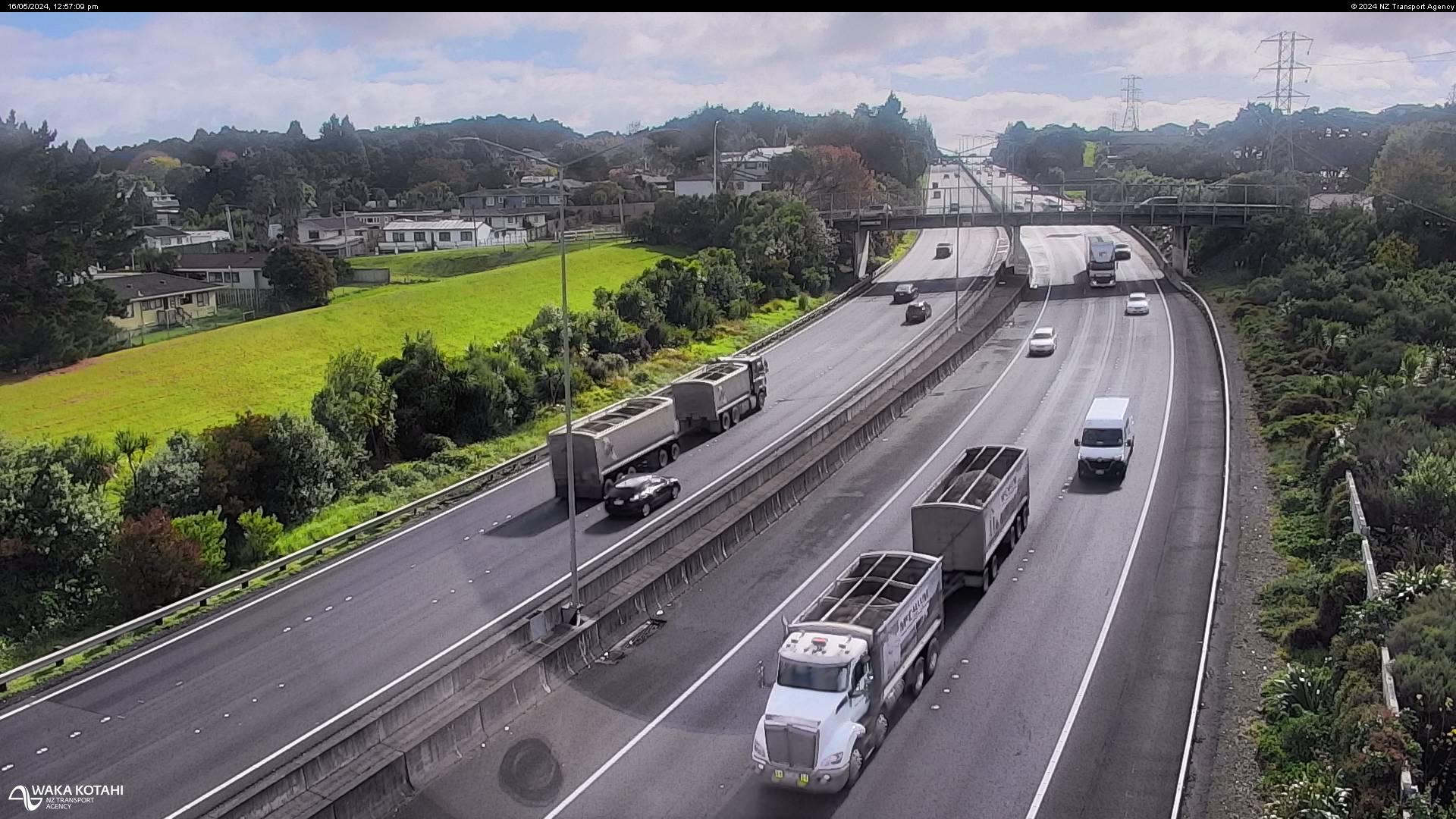
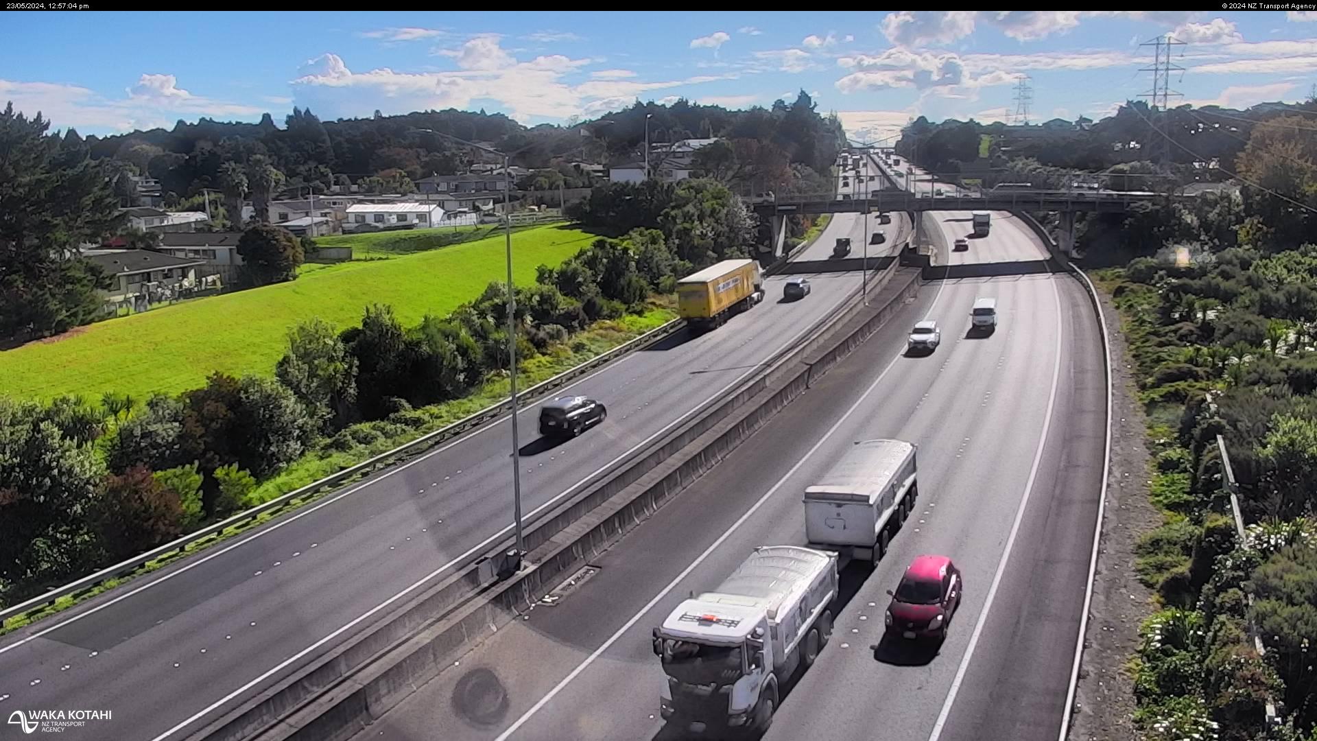
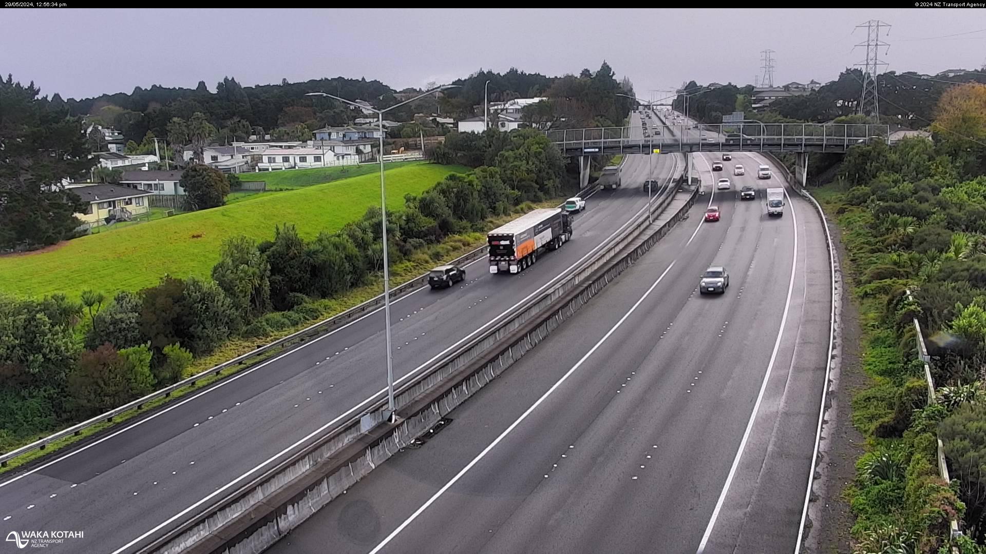
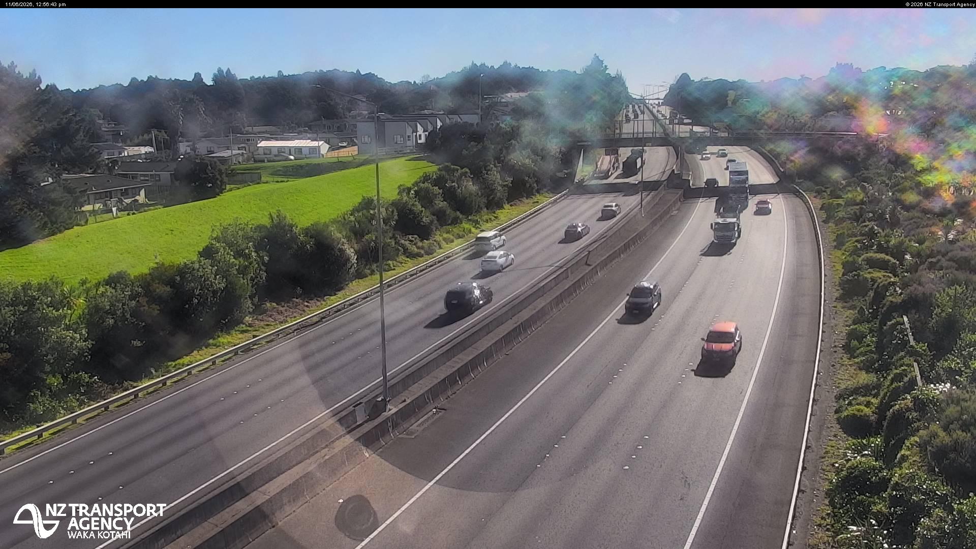
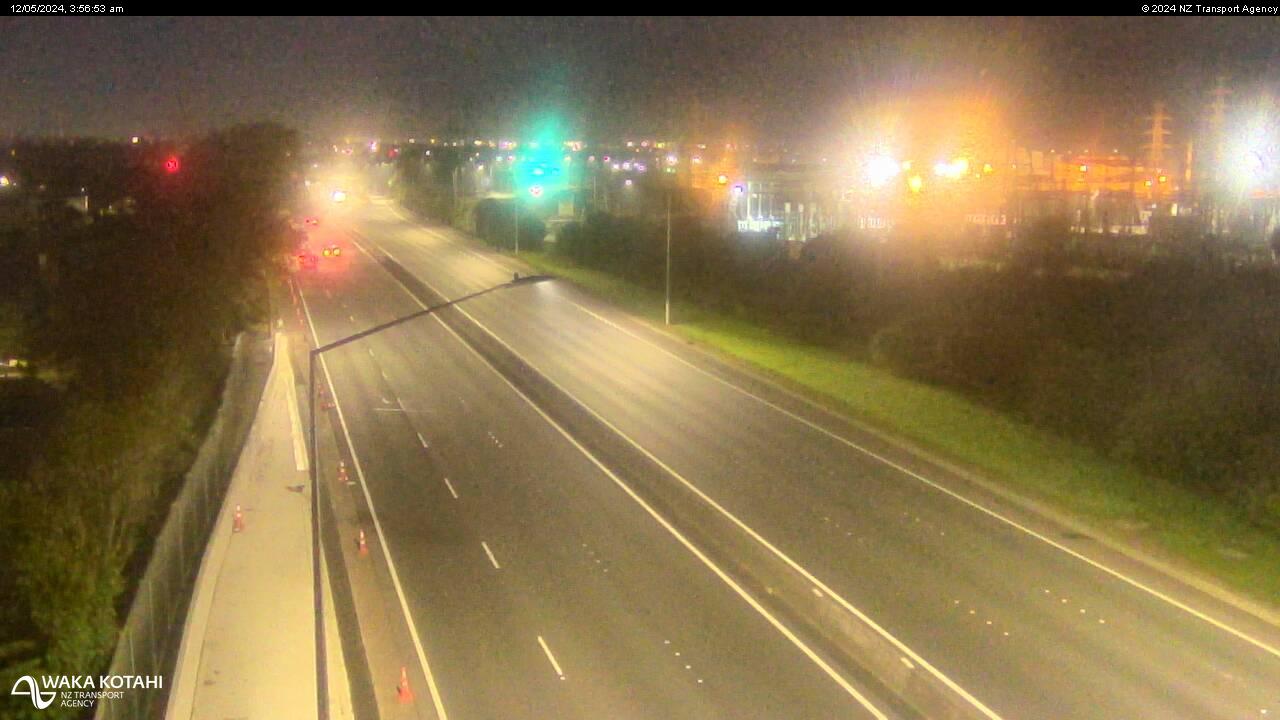
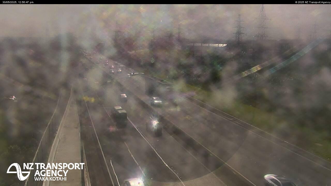
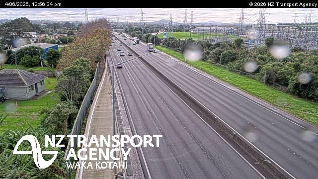
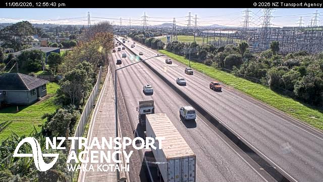
Pahurehure, New Zealand - 202.9 miles from Awatoto: Traffic SH1, Pahurehure - A view of the current traffic conditions in southern direction.
Operator: NZ Transport Agency
Operator: NZ Transport Agency
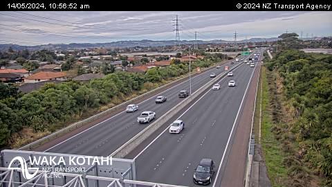
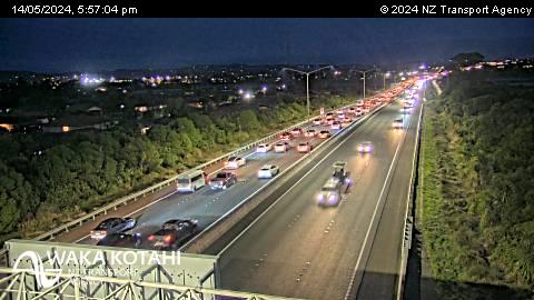

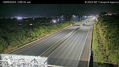
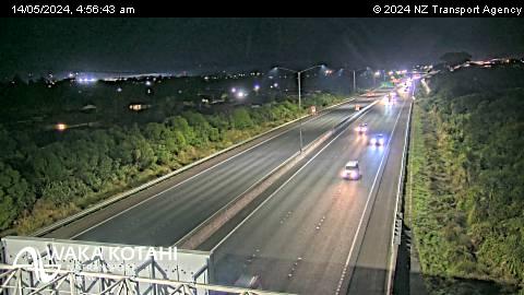
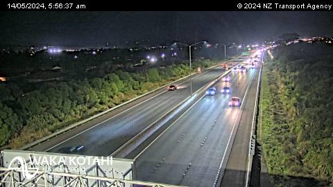
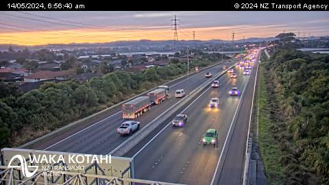
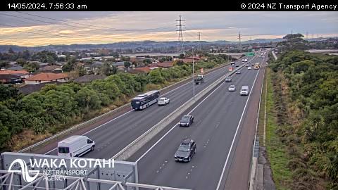


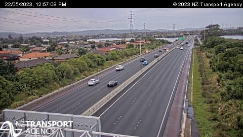

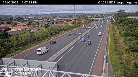
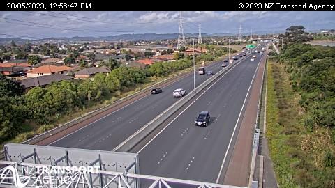

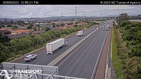
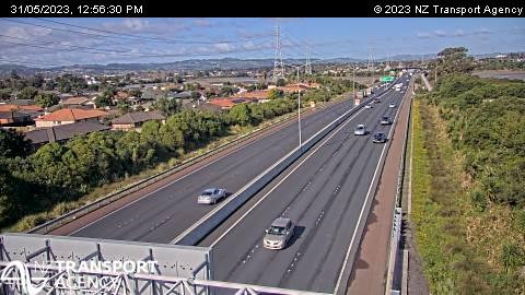
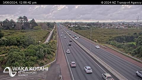

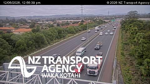

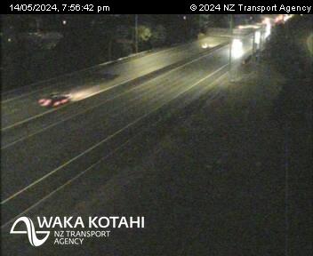
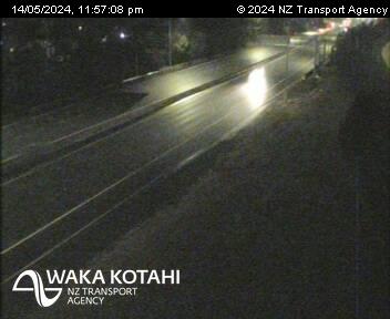
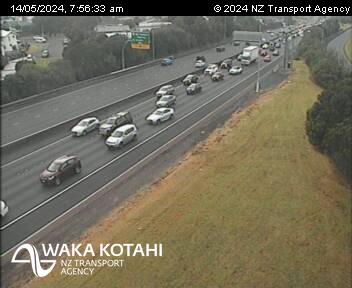
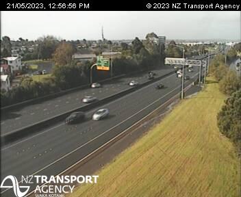
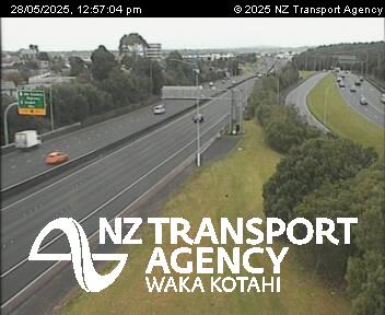
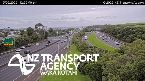
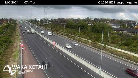
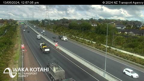
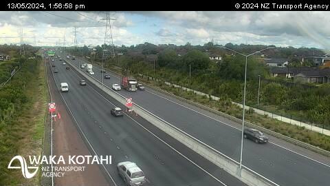
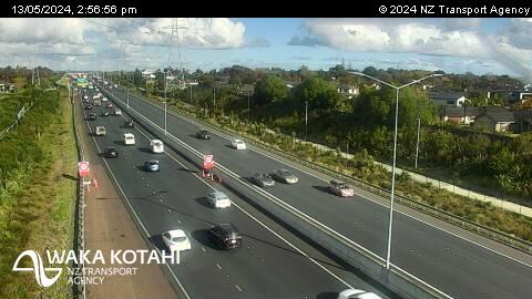
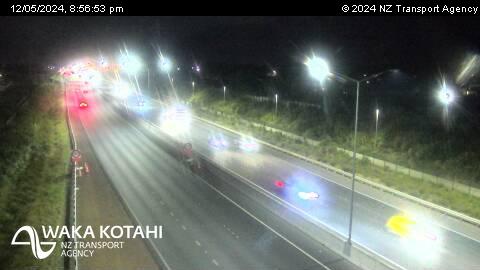
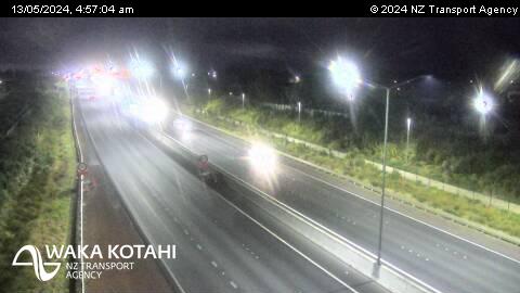
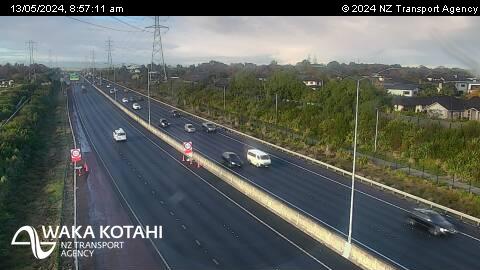
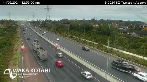
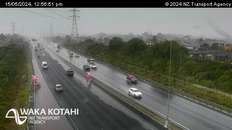
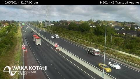
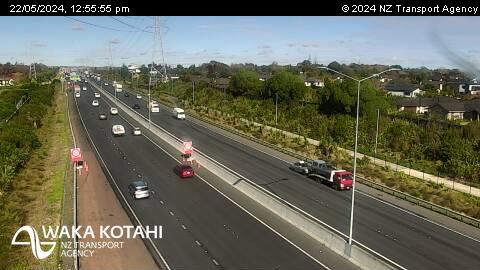
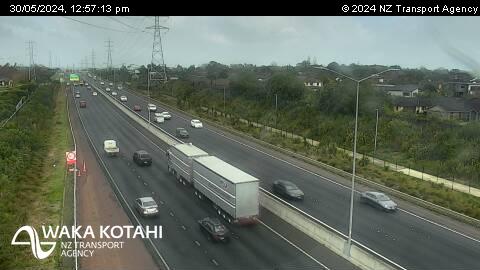
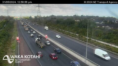
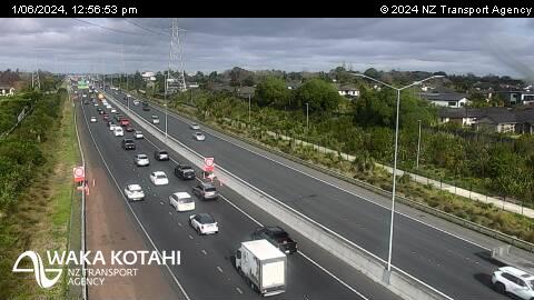
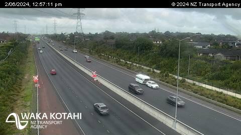
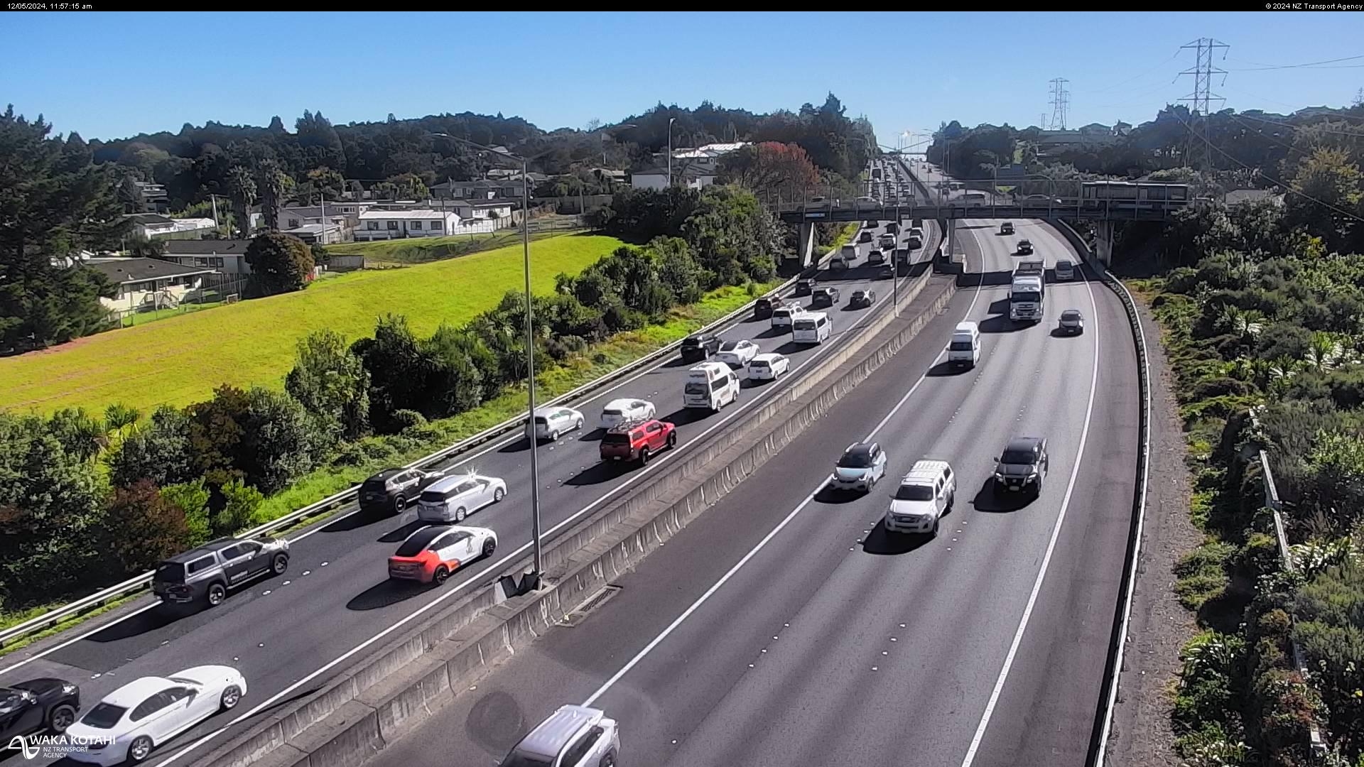
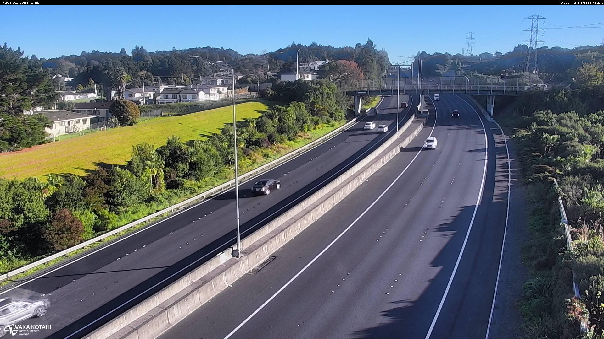
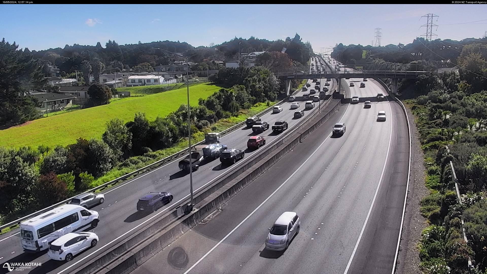
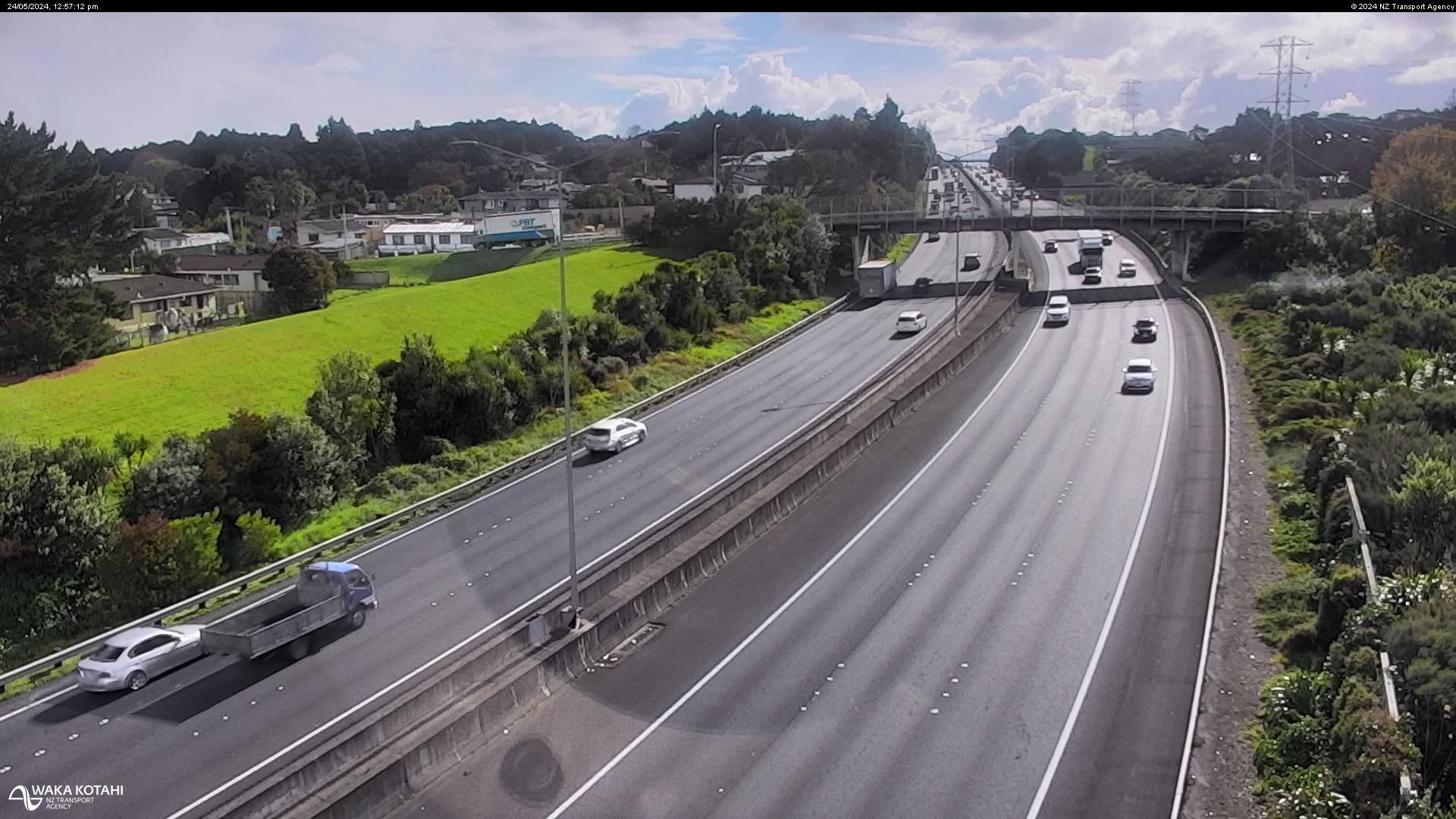
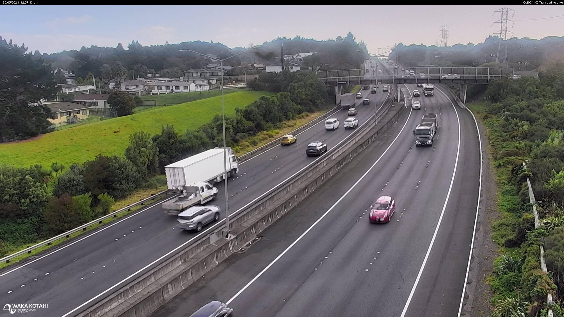
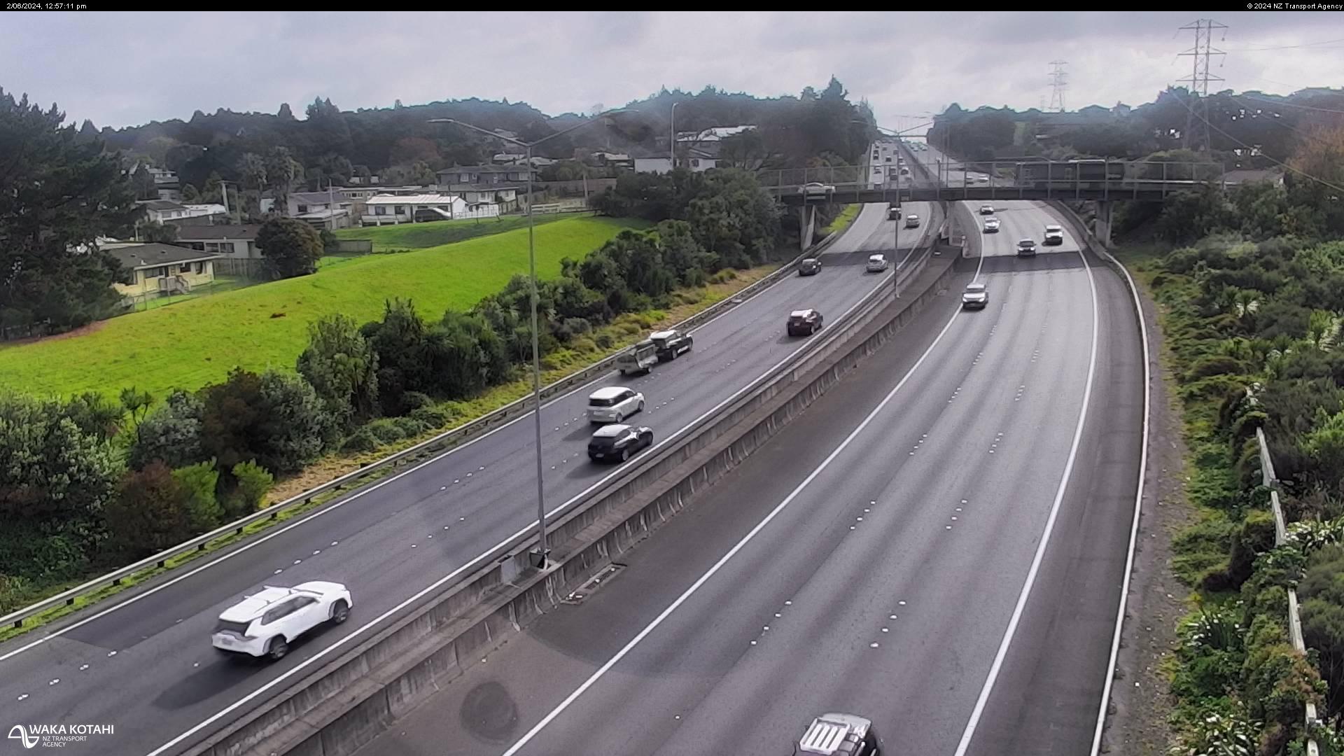
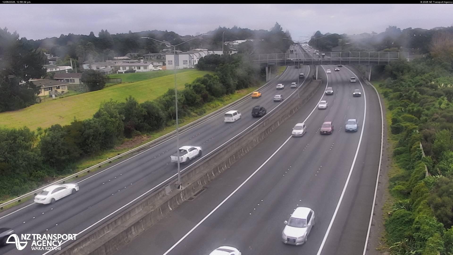
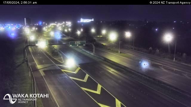
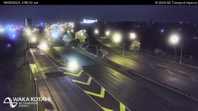
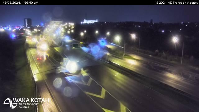
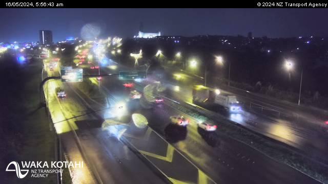
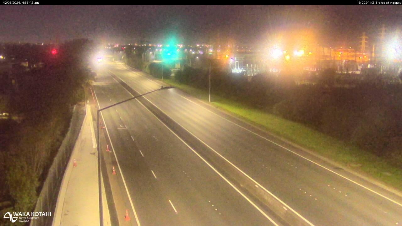
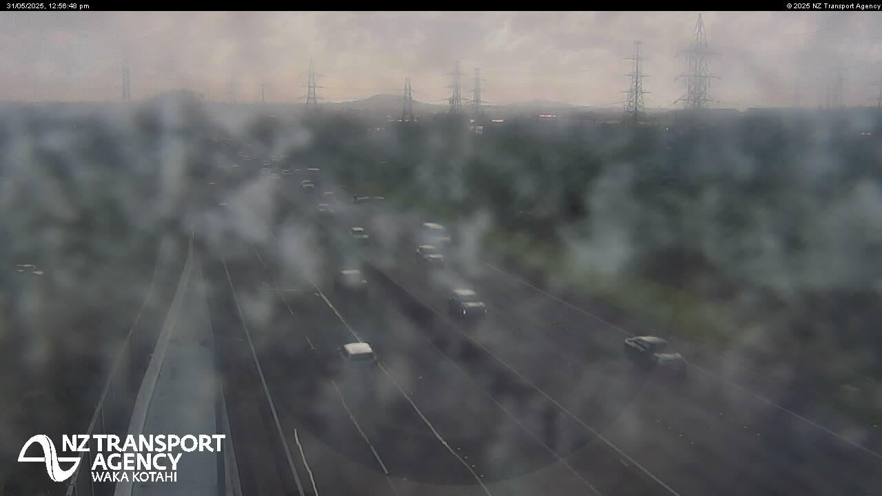
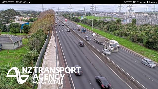
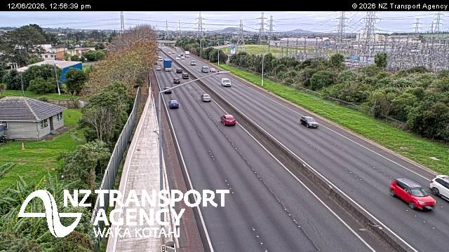
Pahurehure, New Zealand - 202.9 miles from Awatoto: Traffic SH1, Rushgreen Ave - A view of the current traffic conditions in southern direction.
Operator: NZ Transport Agency
Operator: NZ Transport Agency

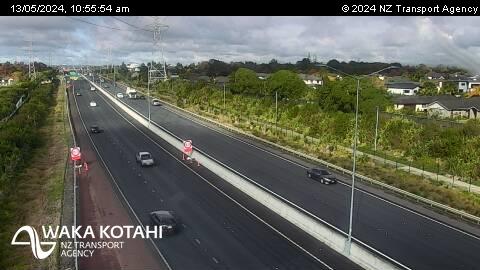
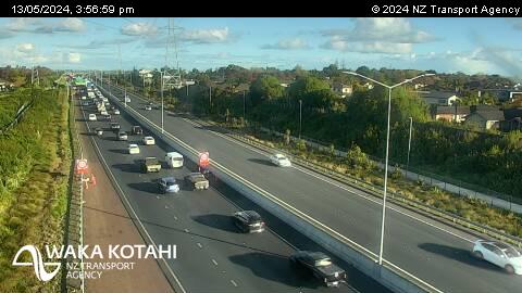
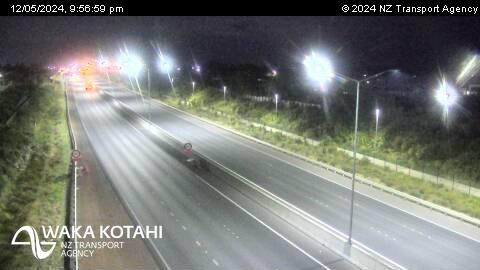

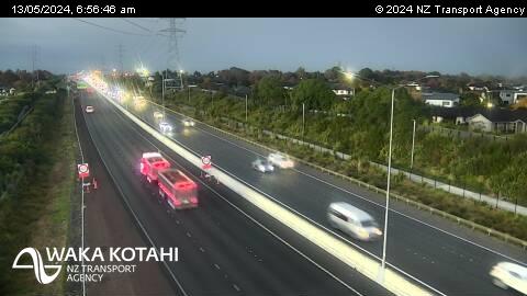
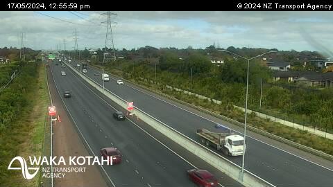
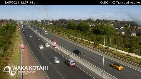

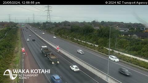
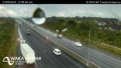
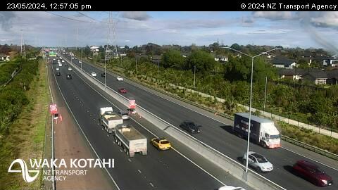
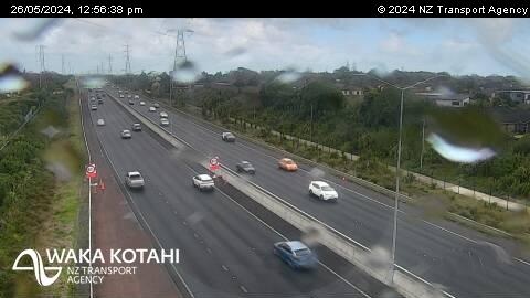
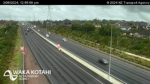

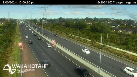
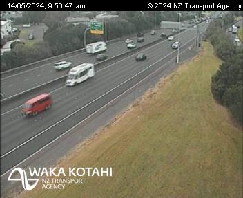
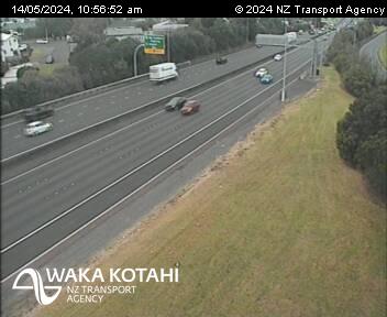
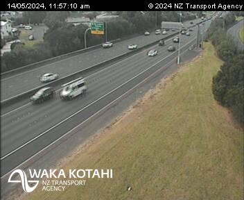
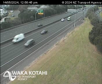
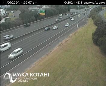
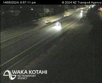
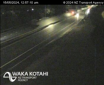
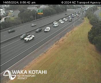
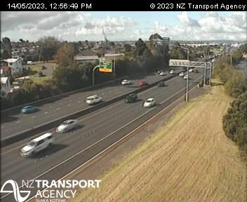
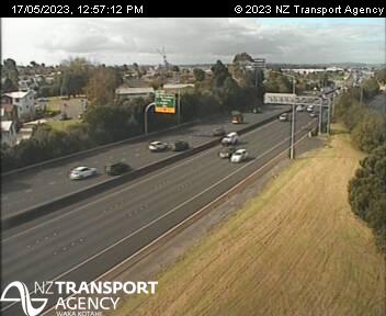
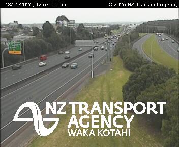
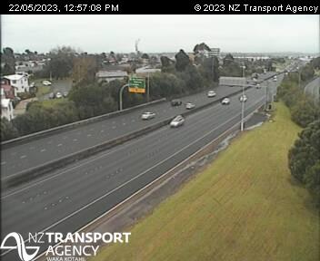
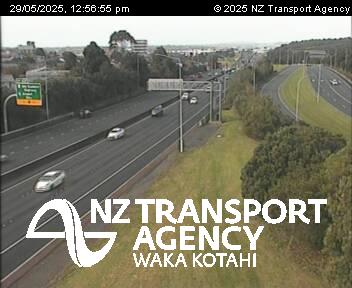
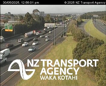
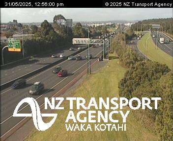
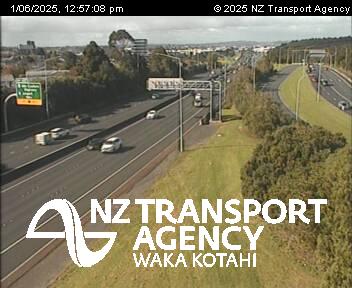
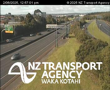
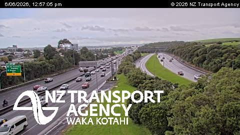
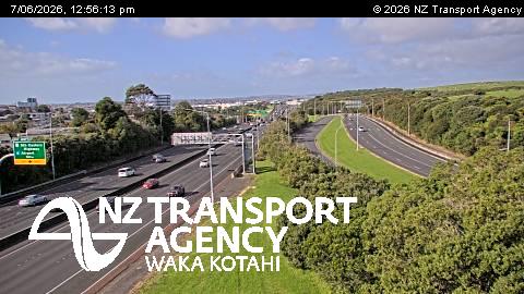
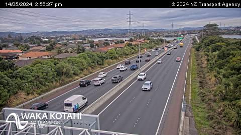
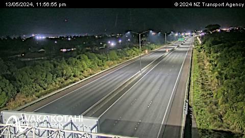
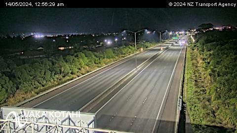
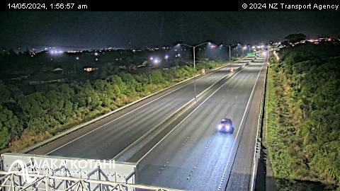
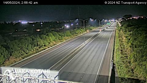
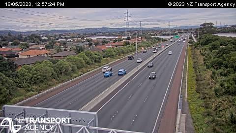
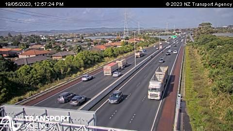
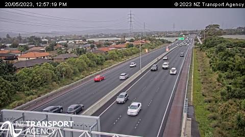
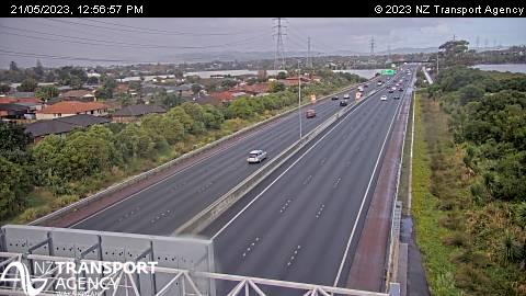
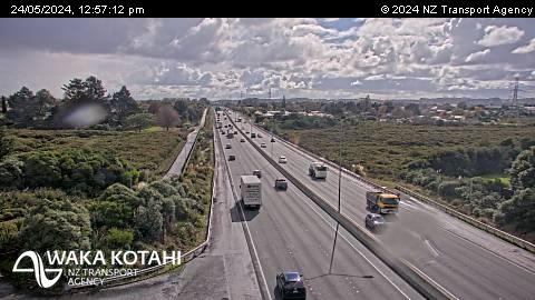
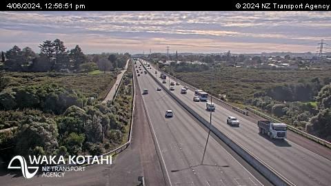
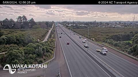
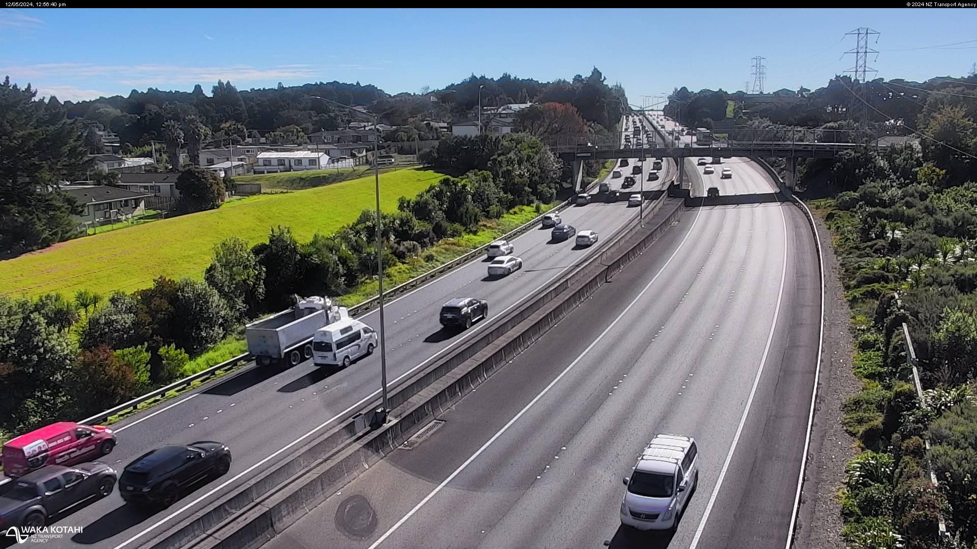
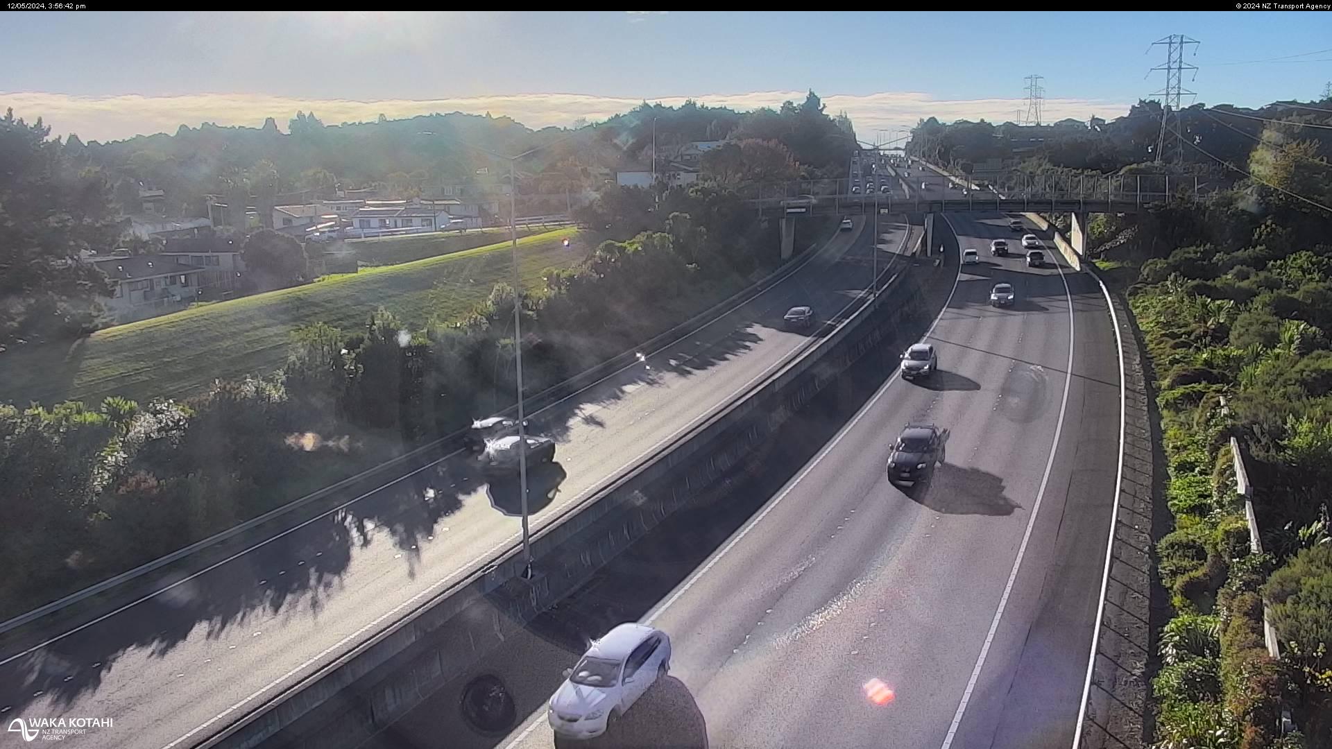
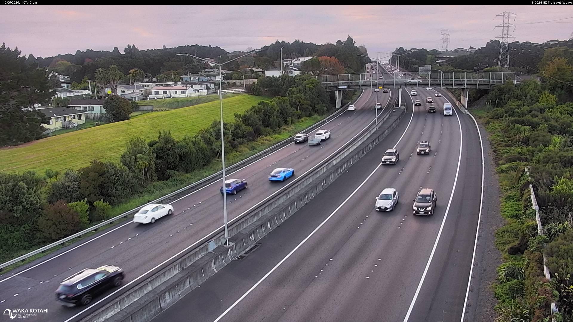
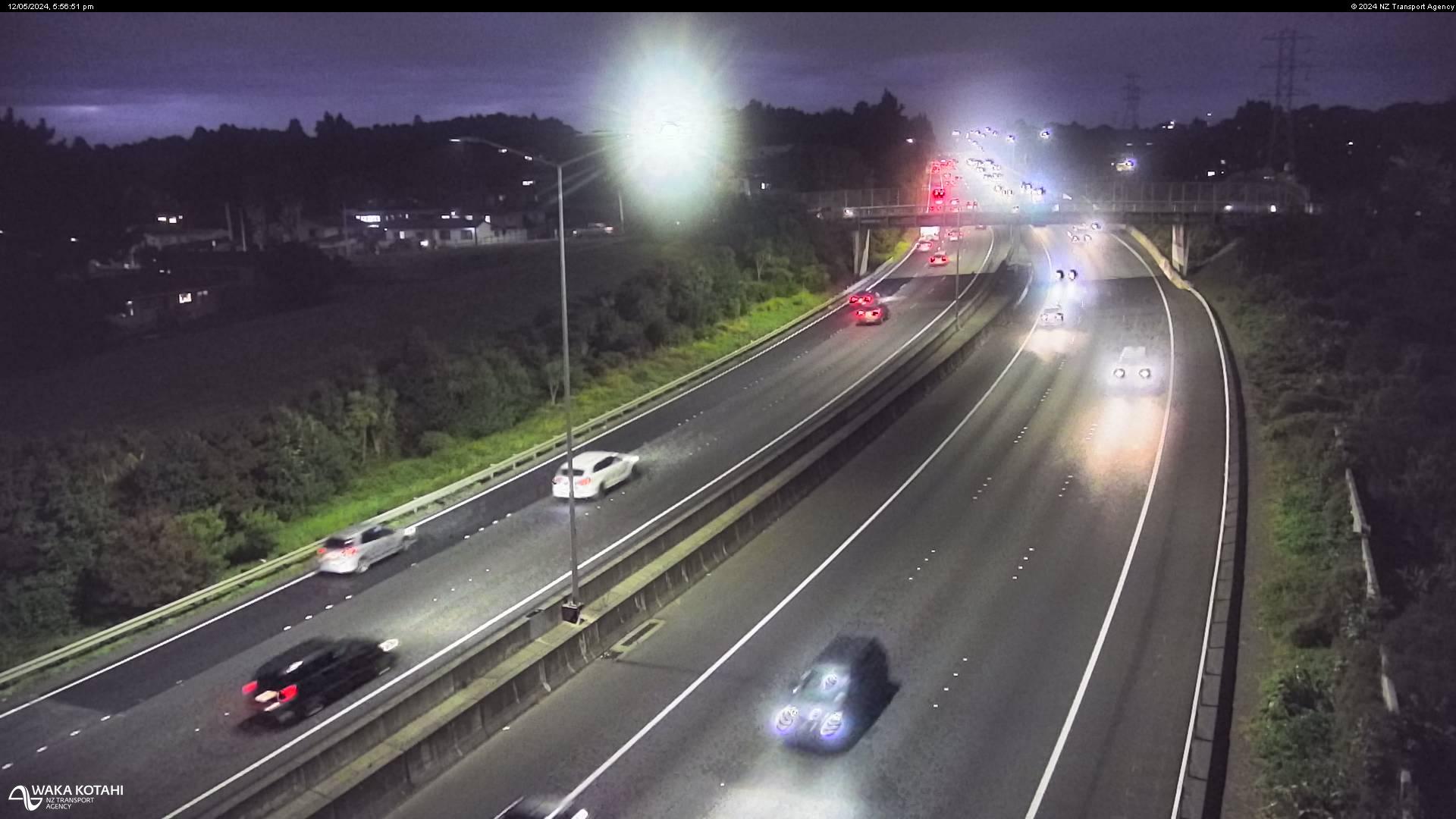
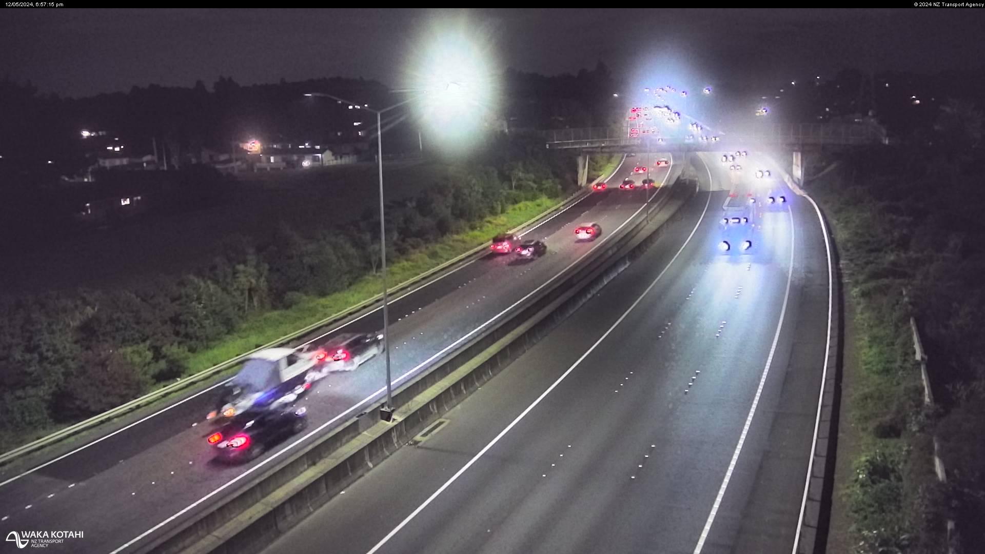
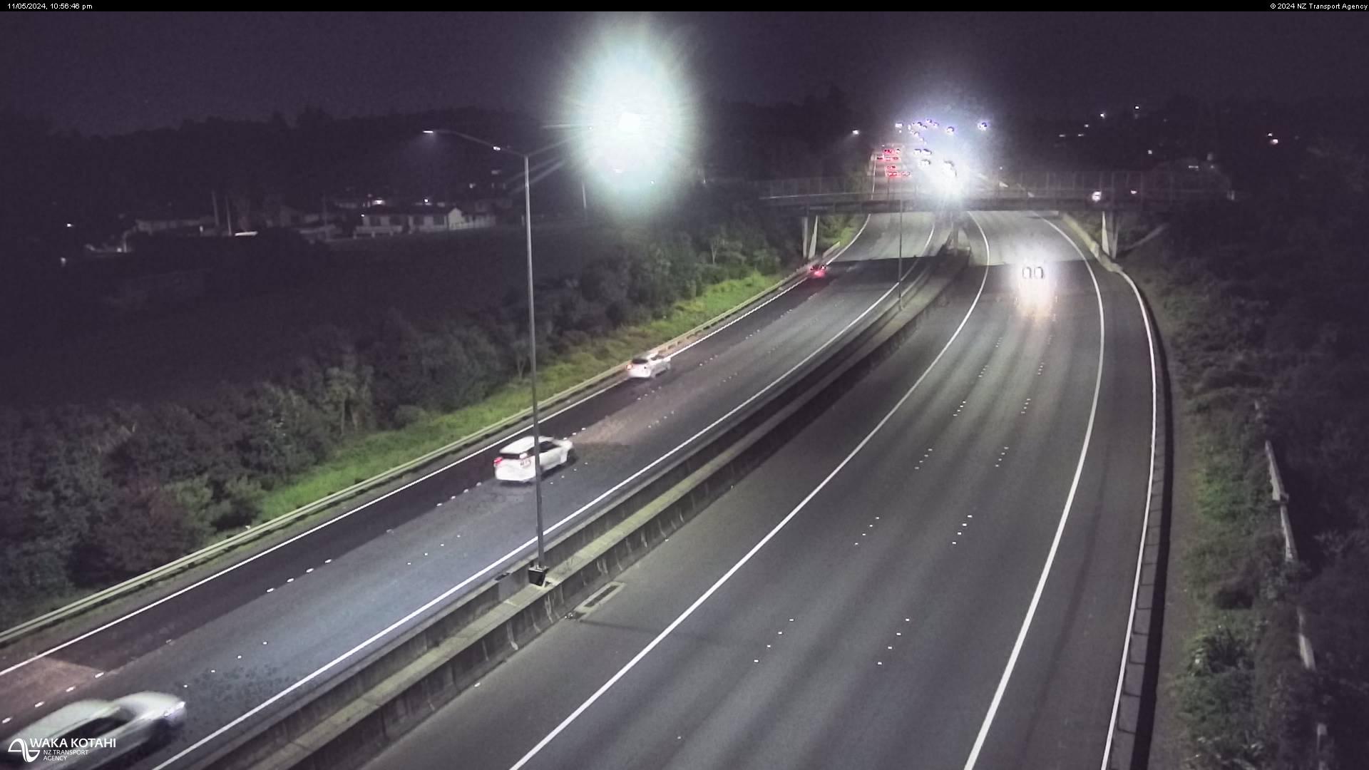
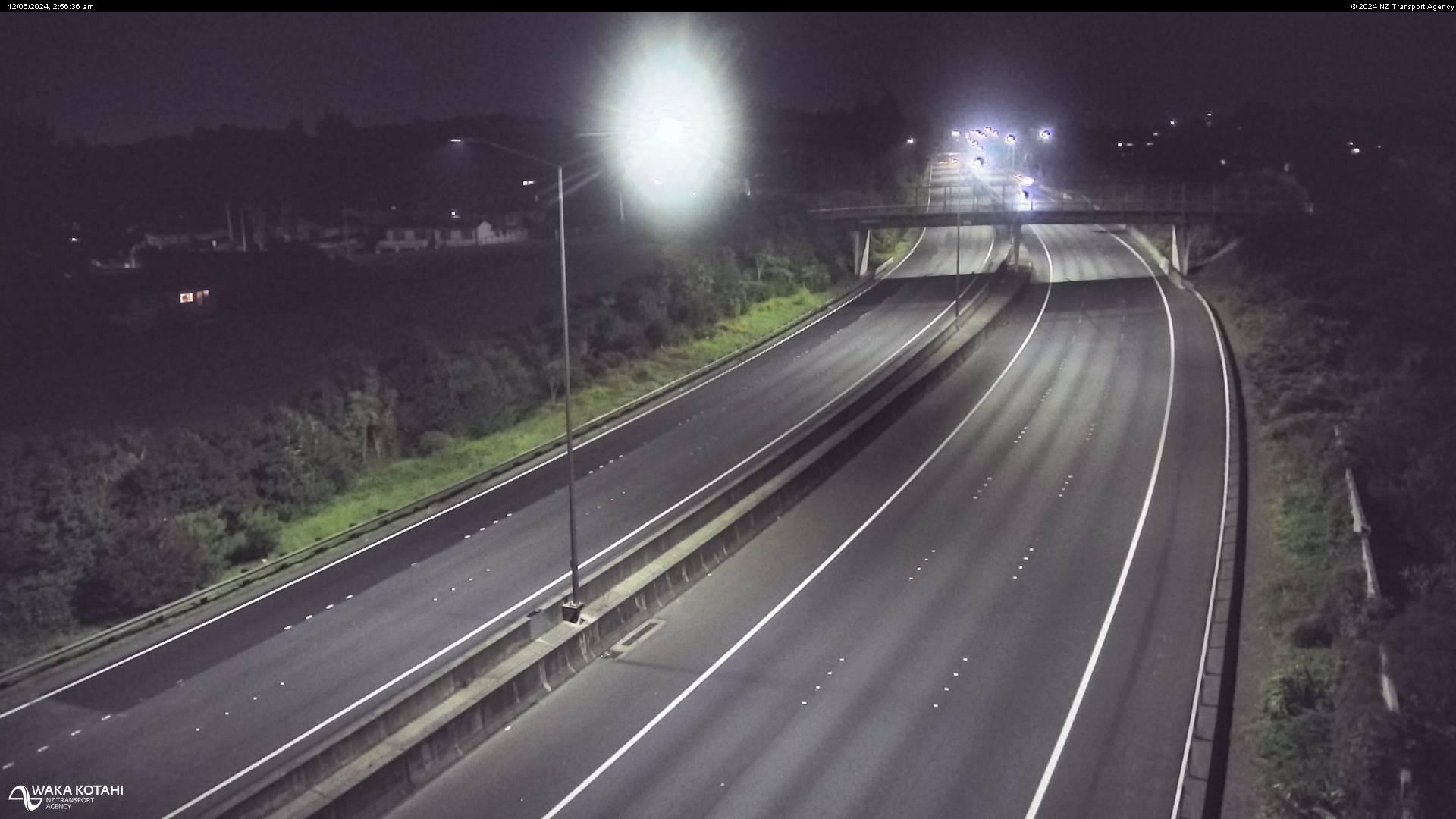
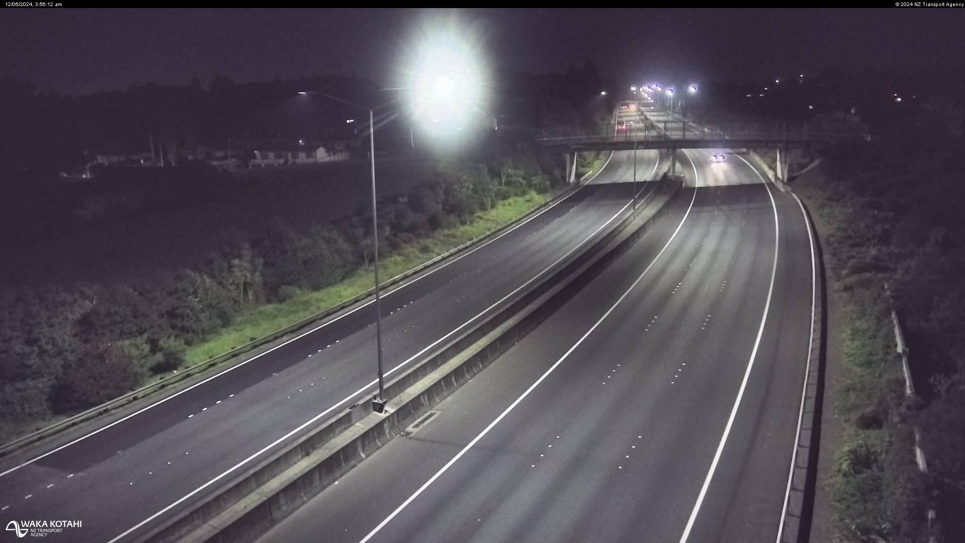
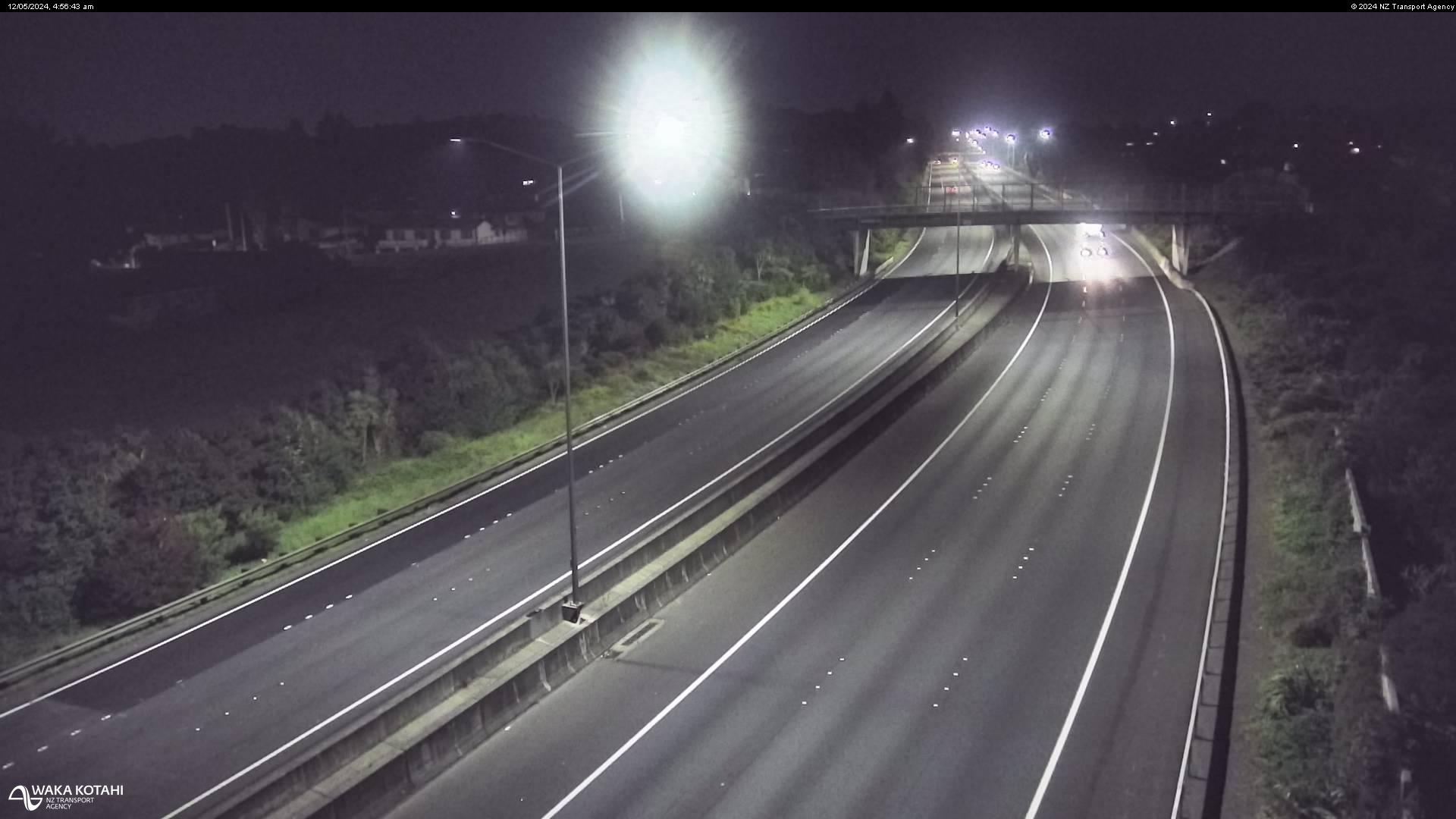
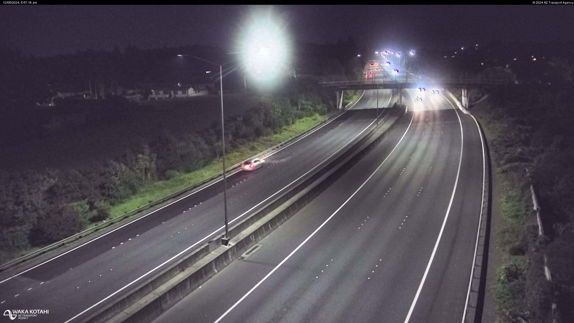
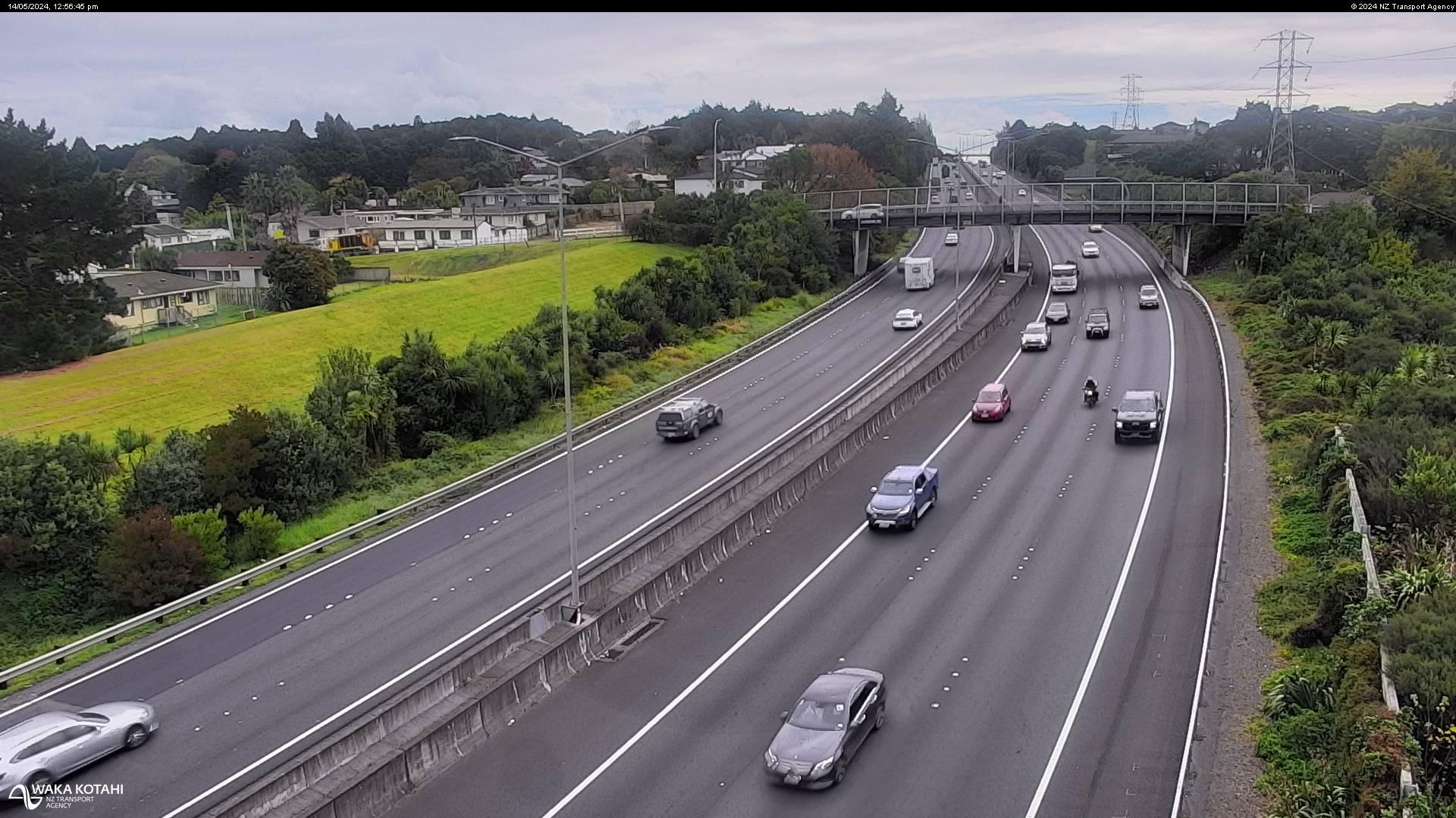
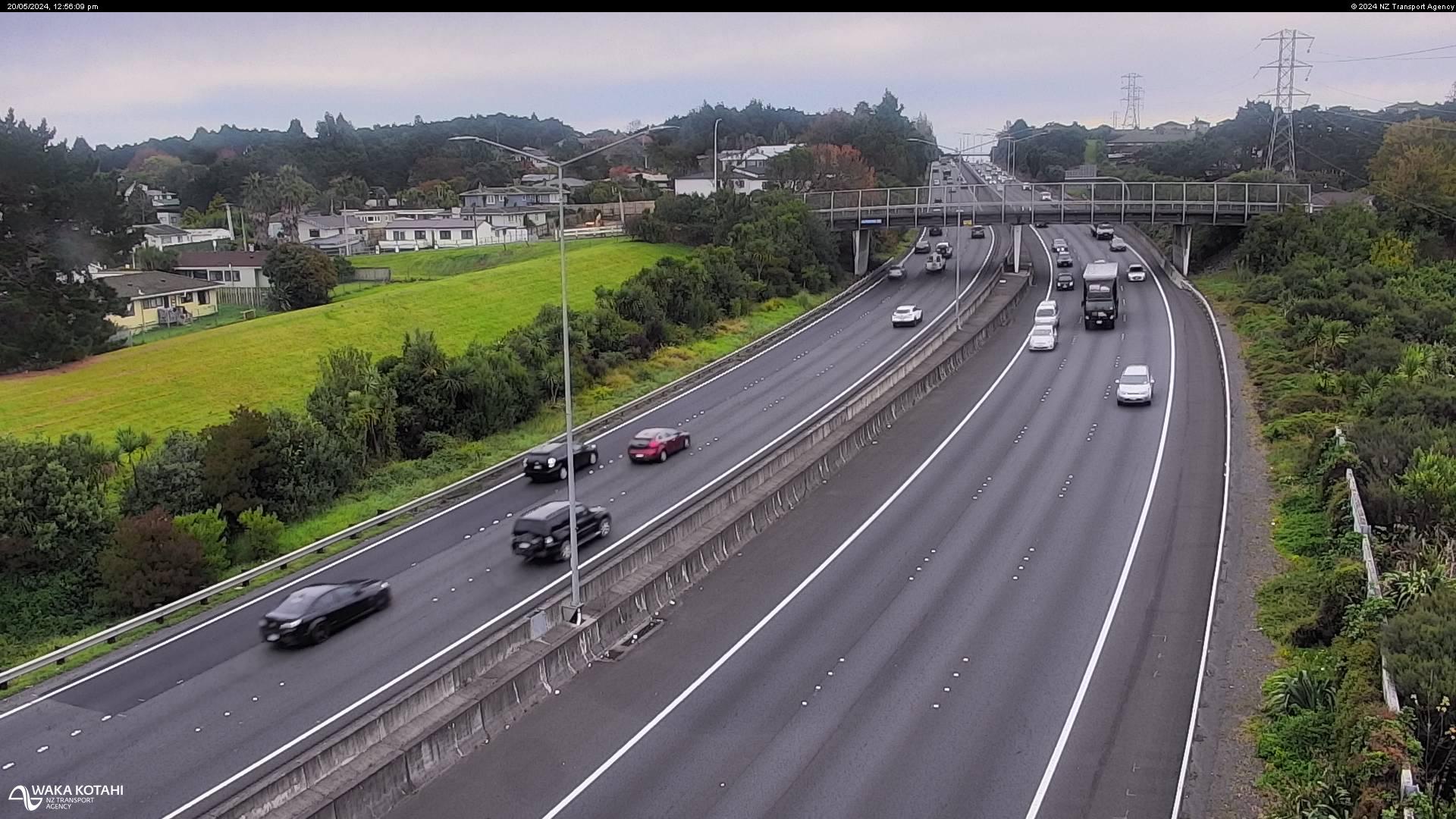
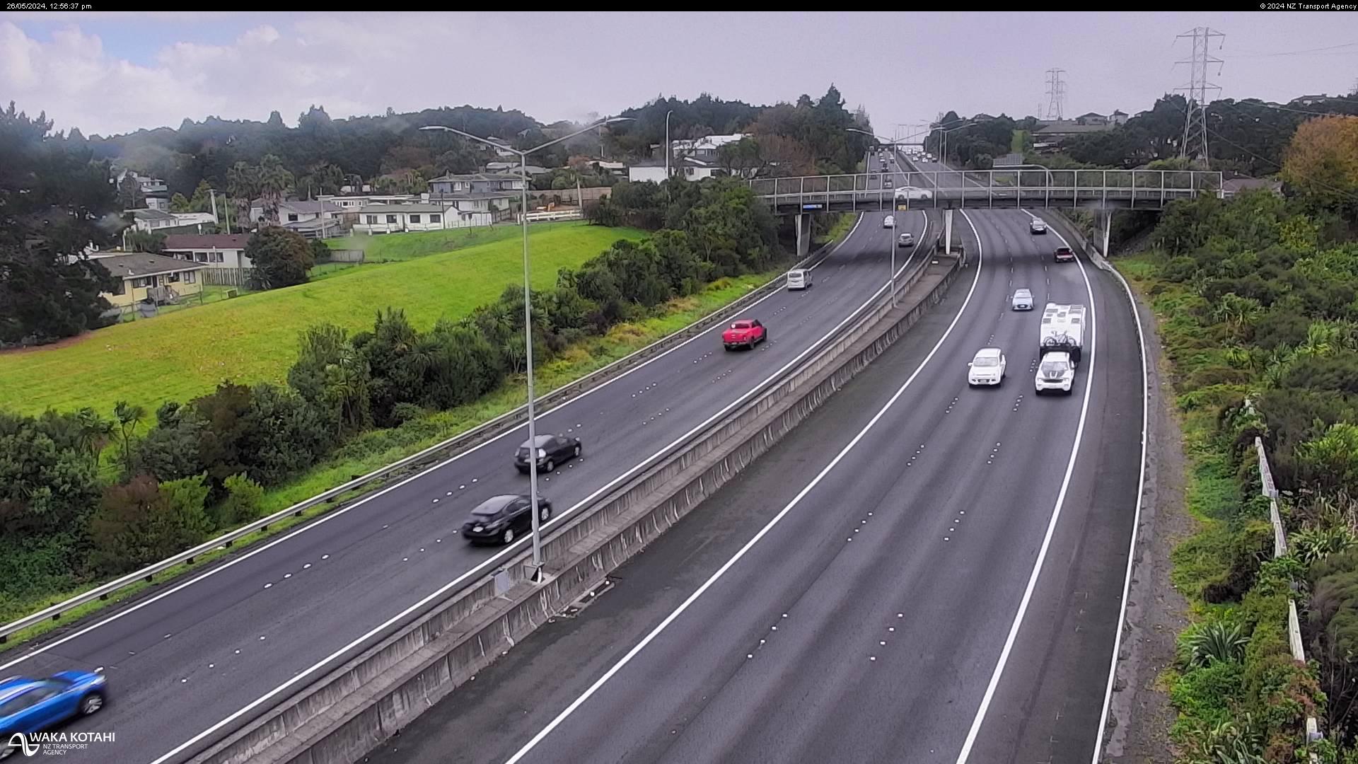
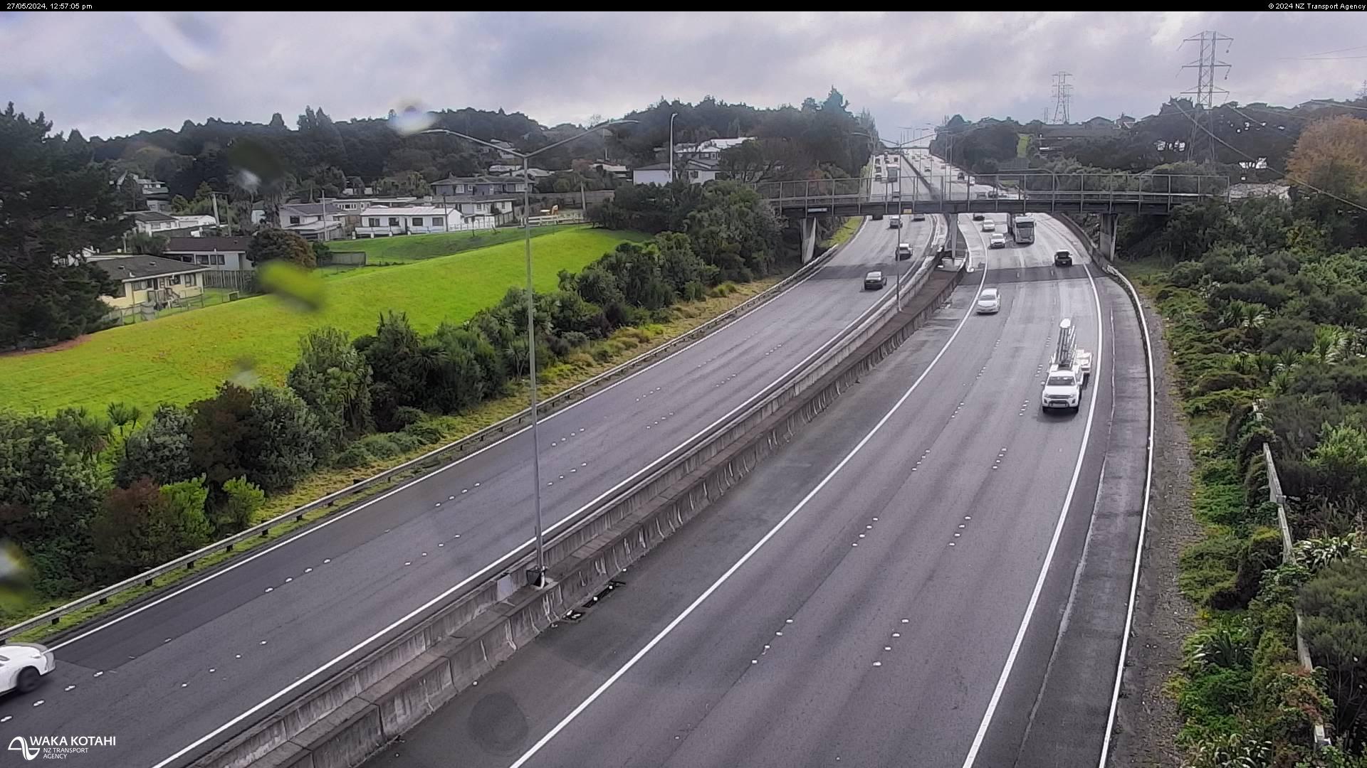
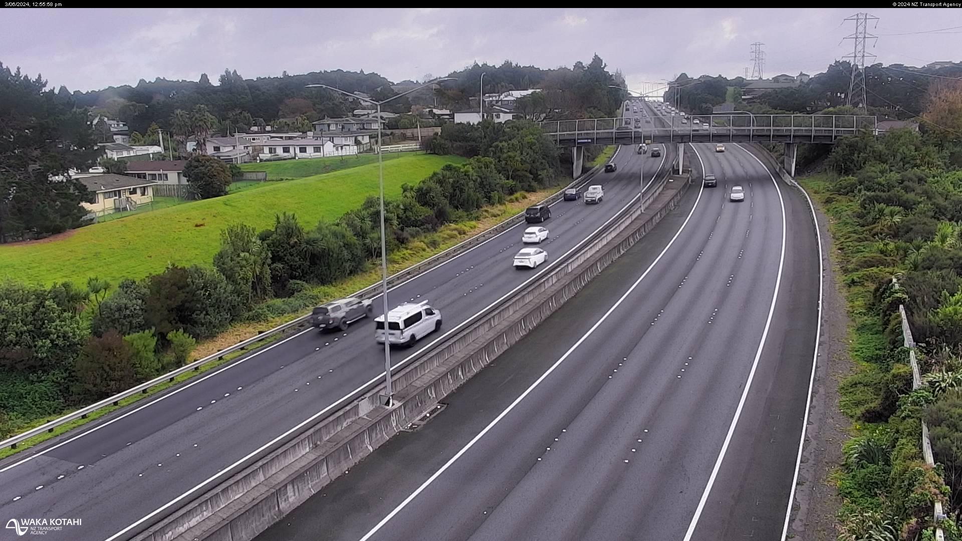
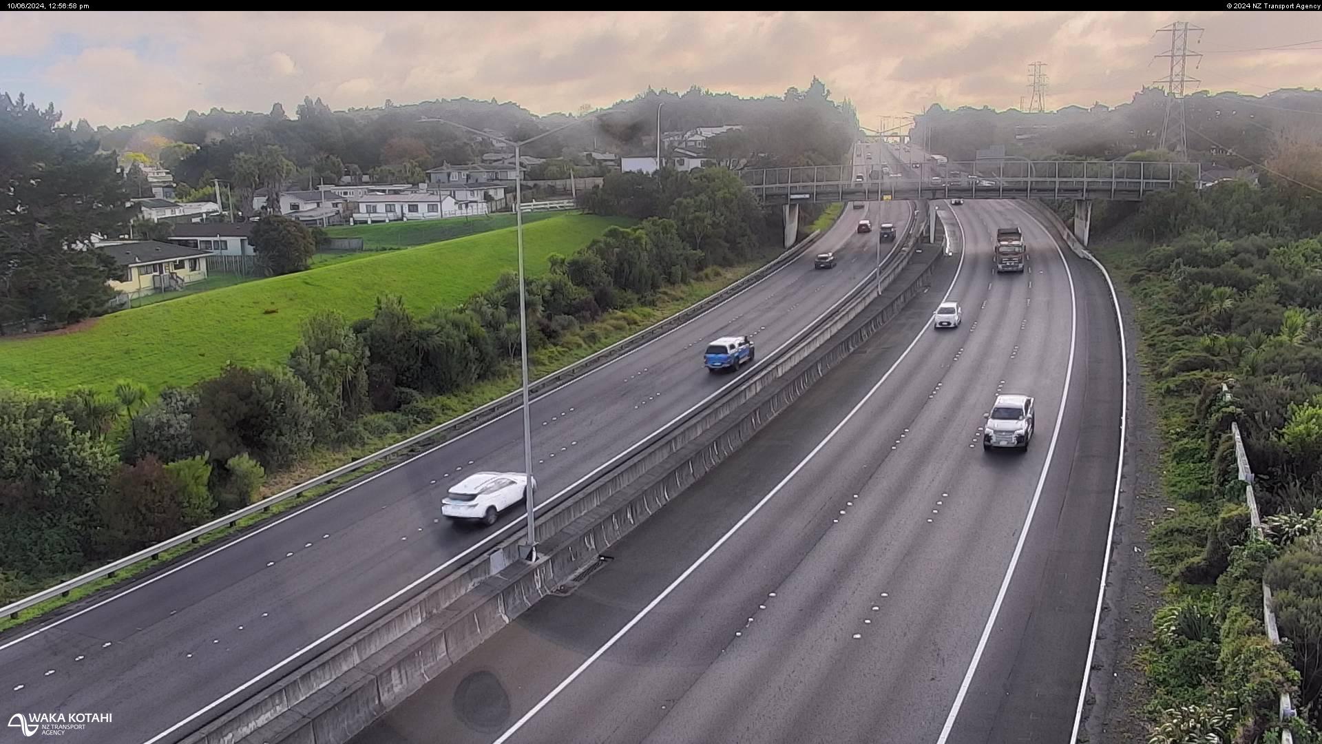
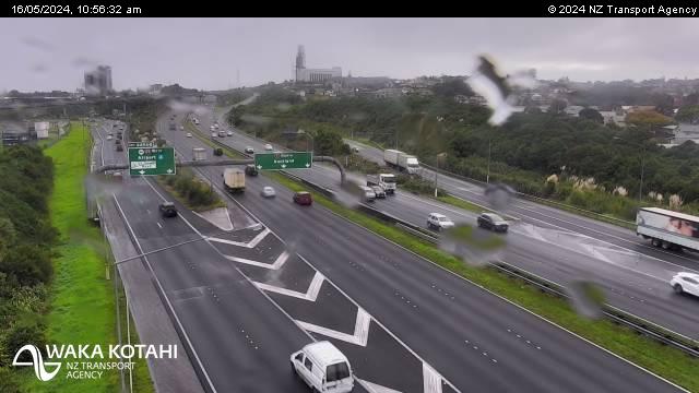
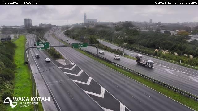
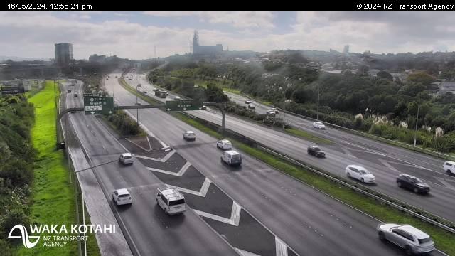
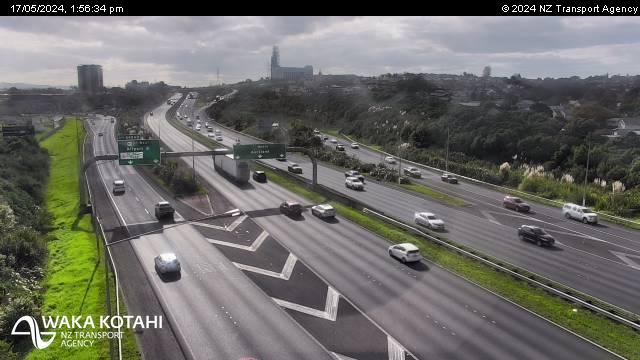
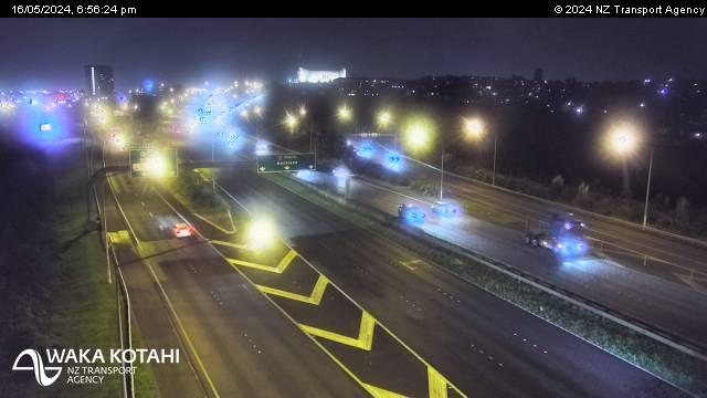
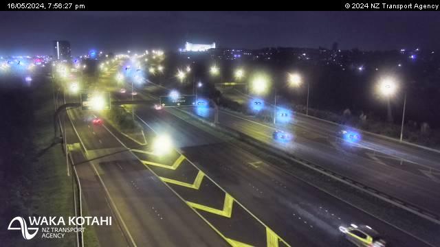
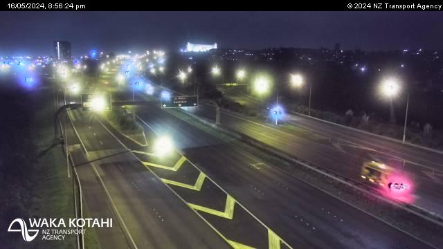
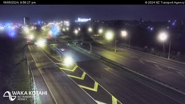
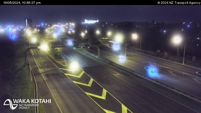
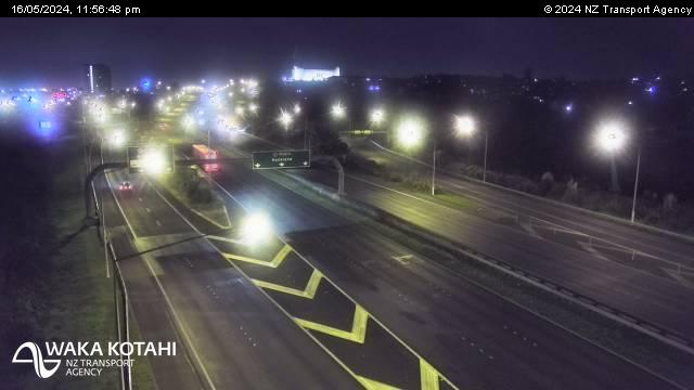
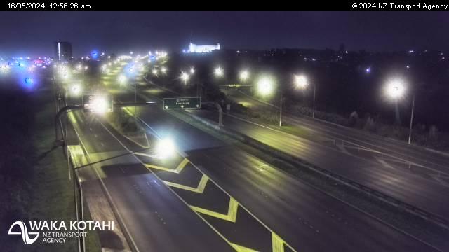
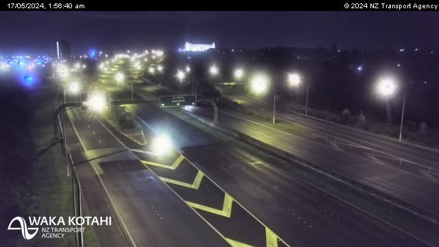
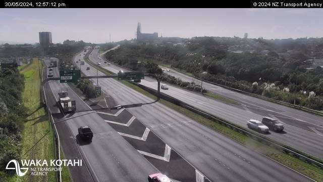
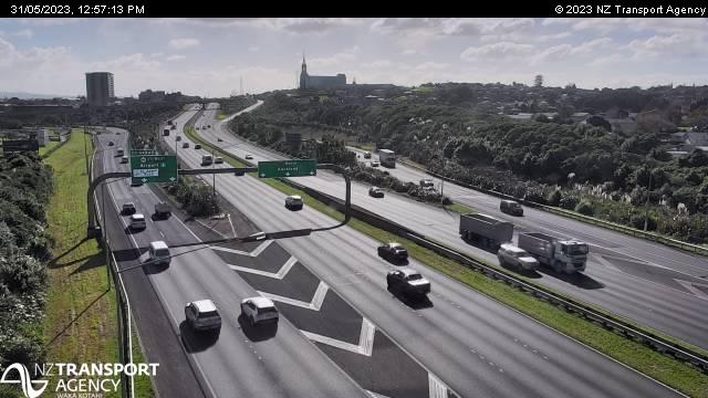
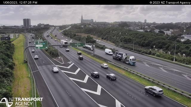
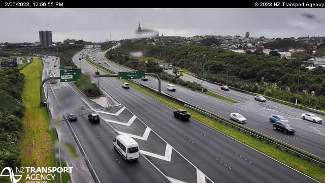
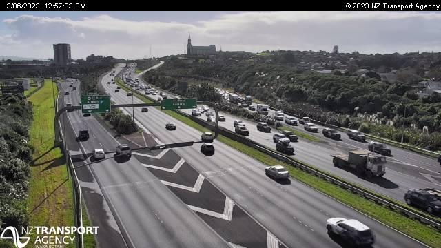
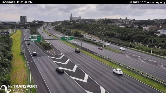
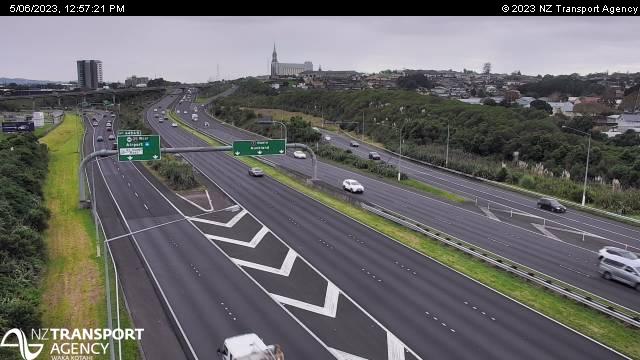
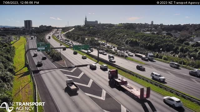
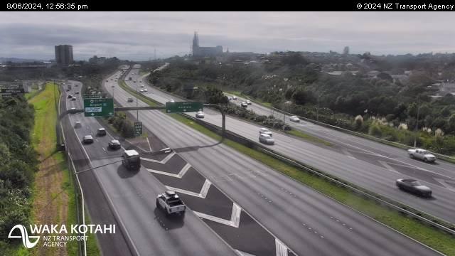
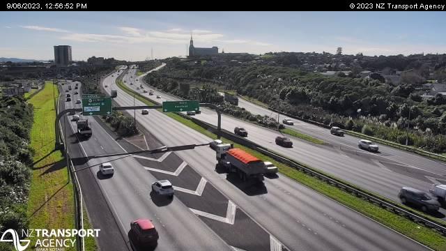
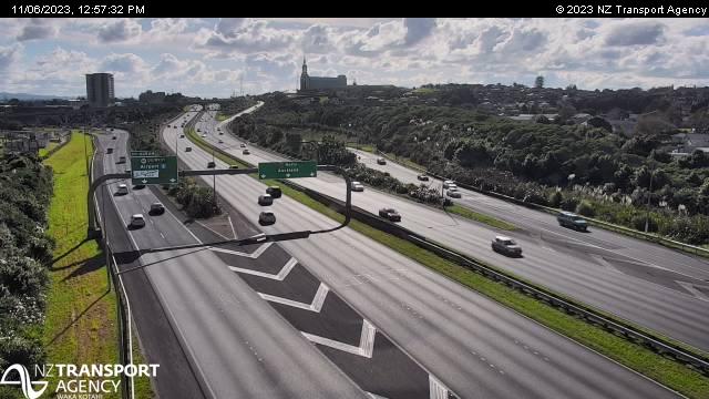
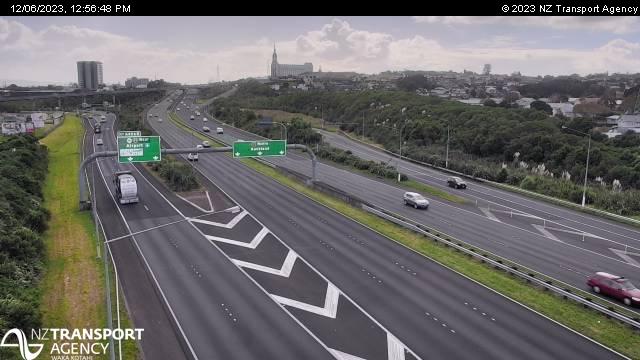
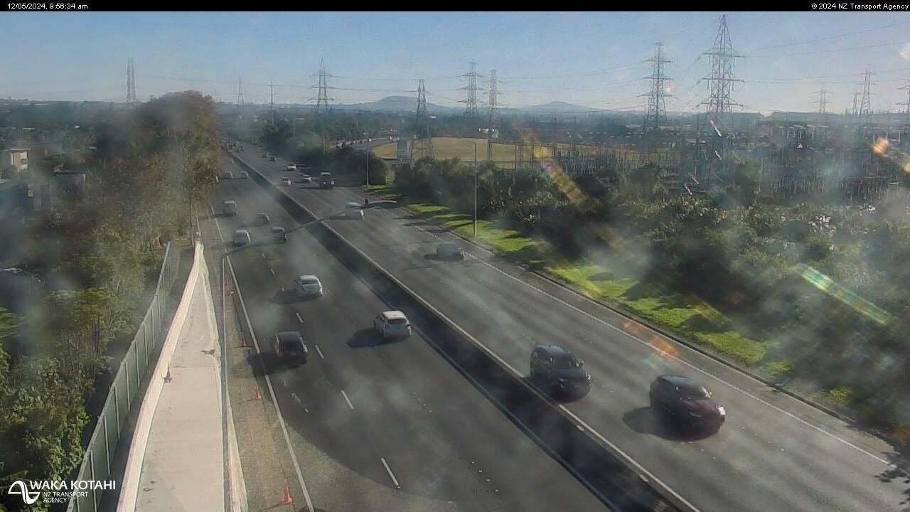
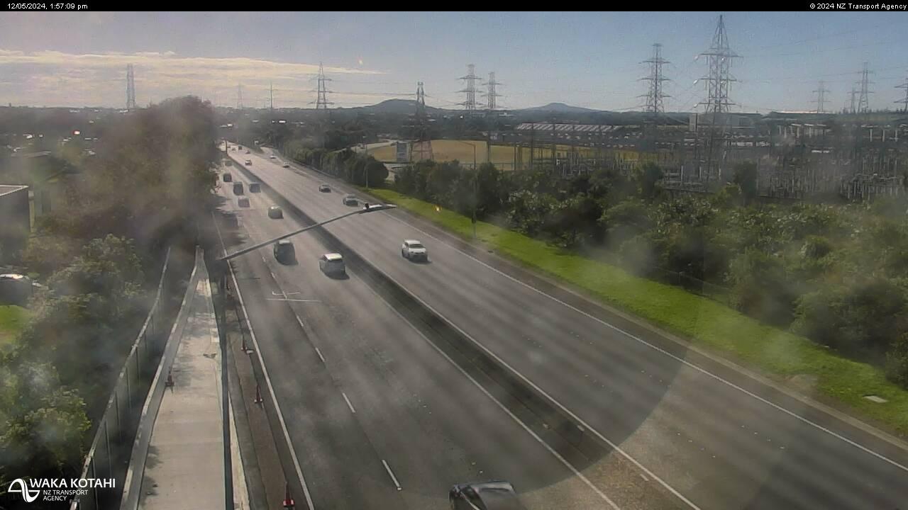
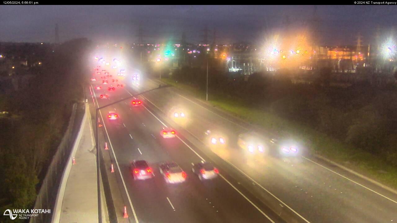
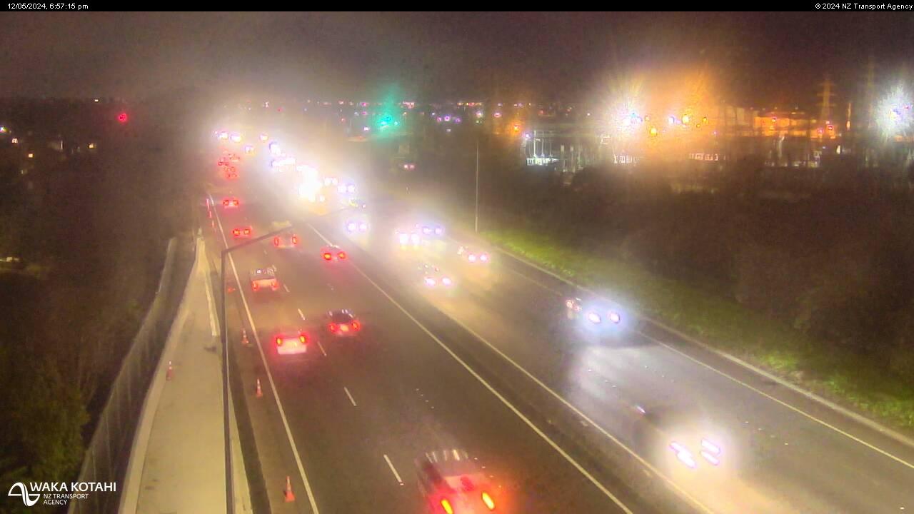
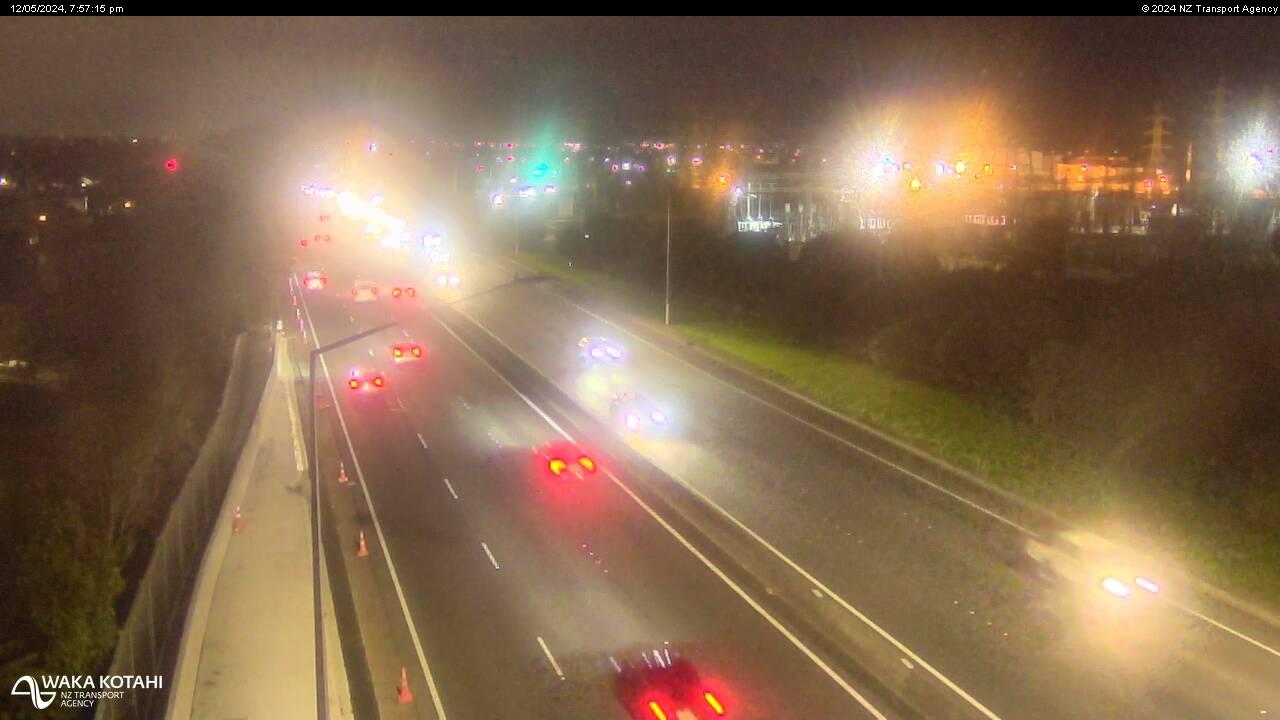
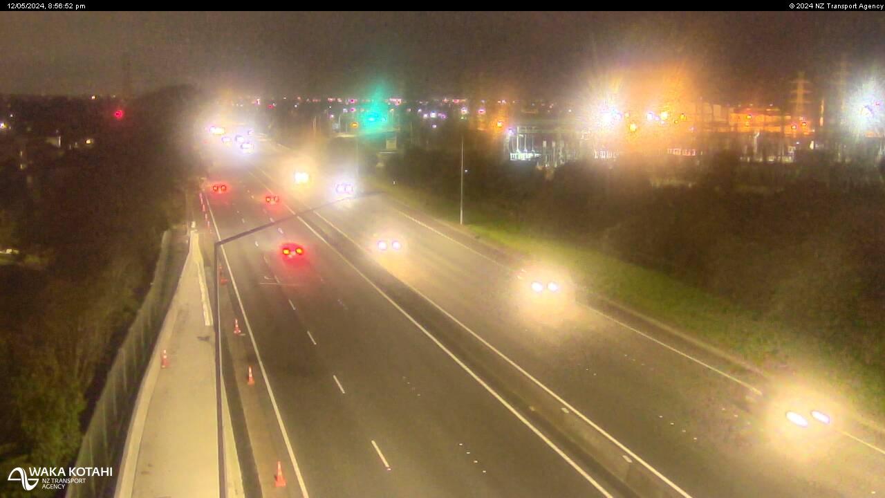
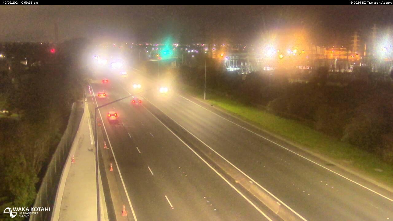
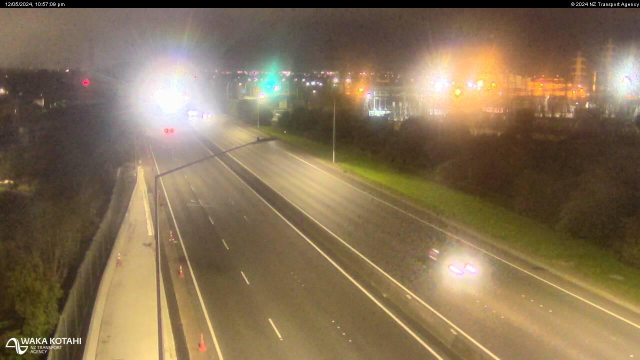
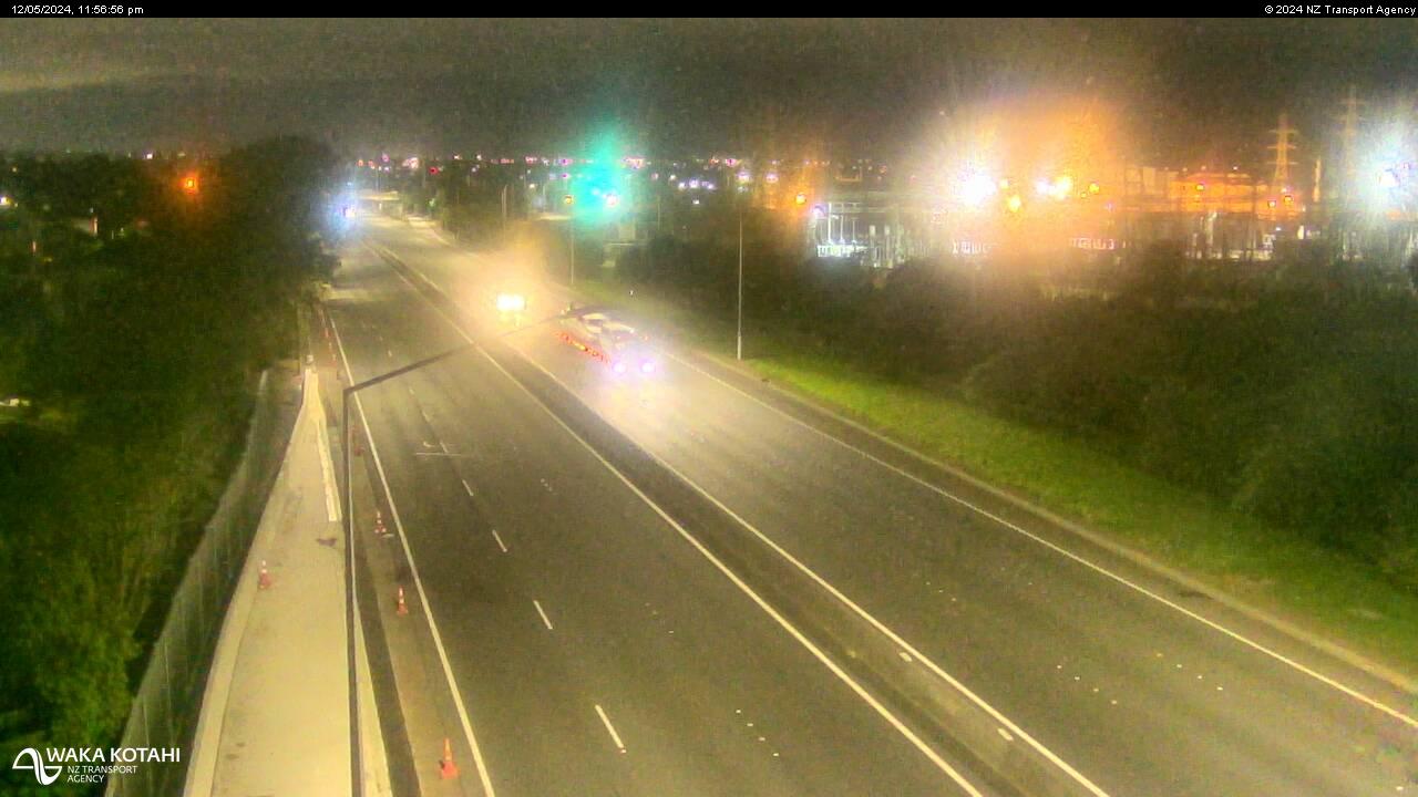
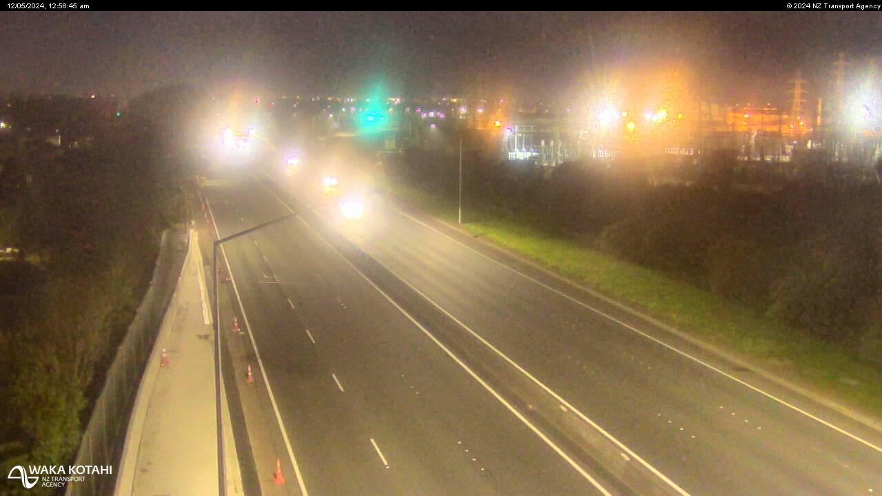
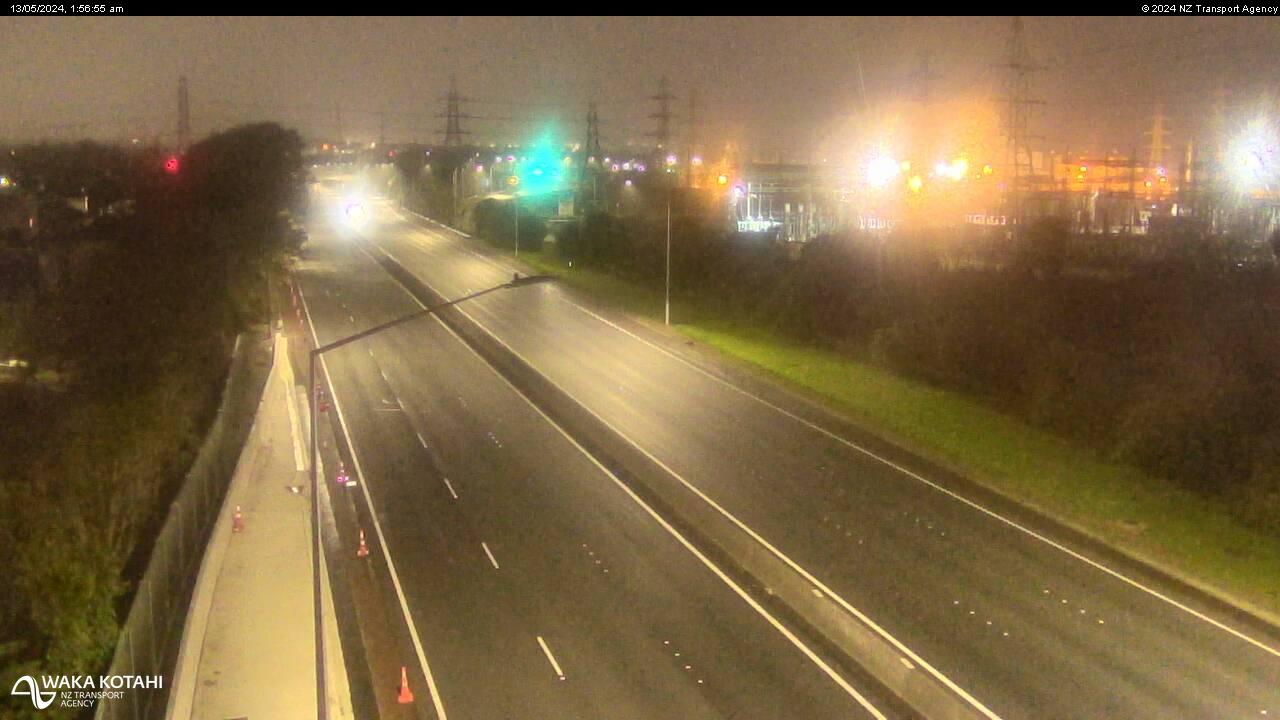
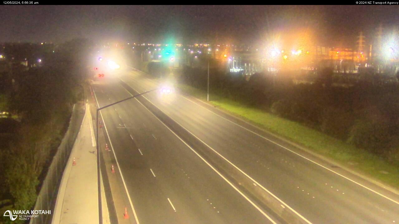
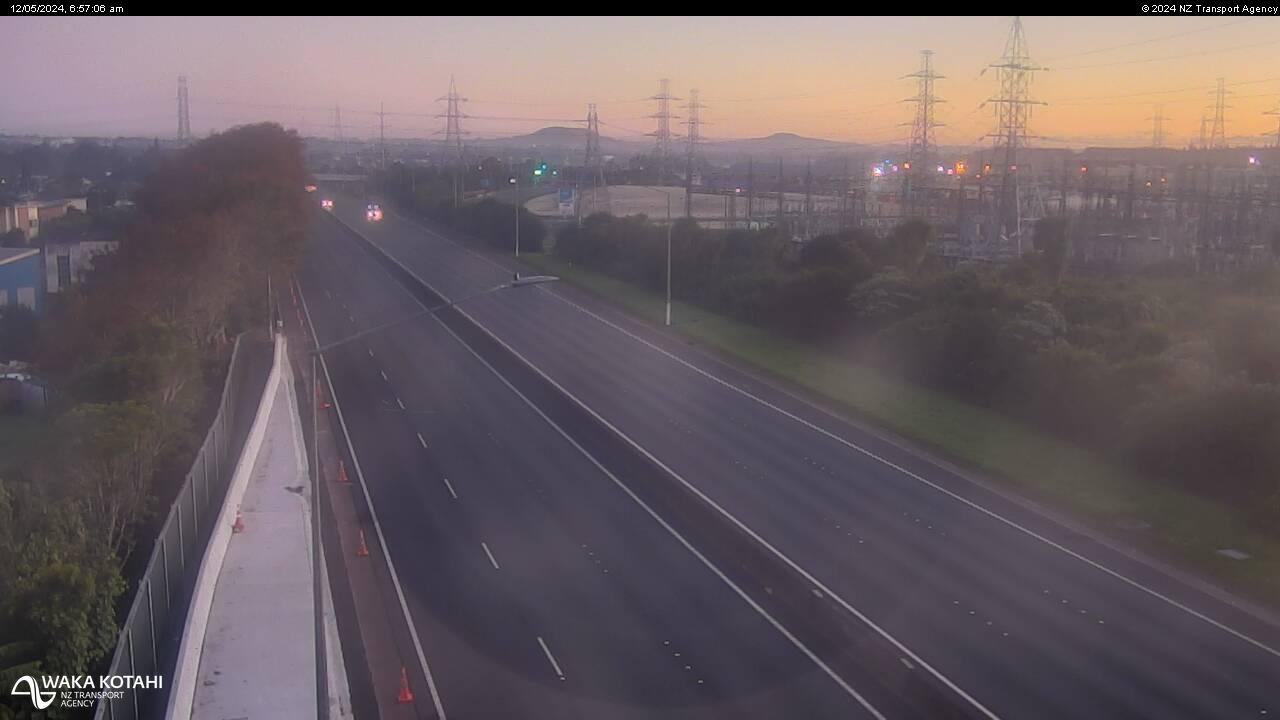
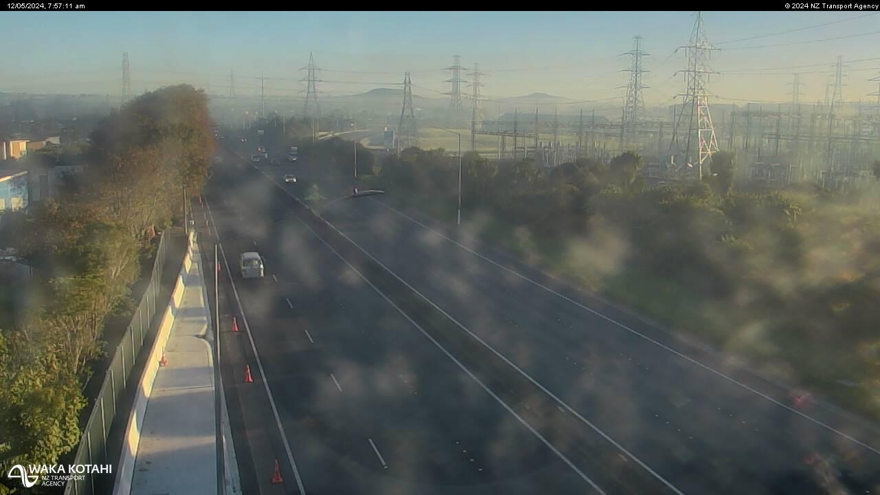
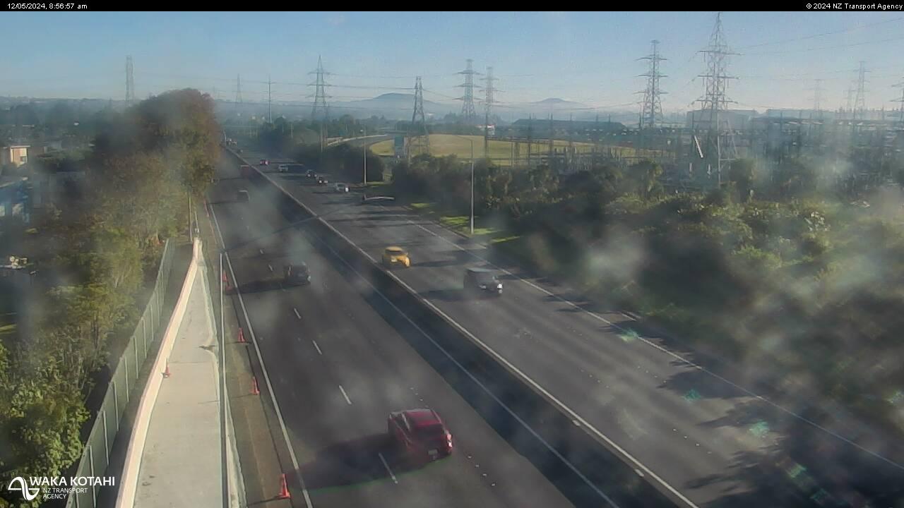
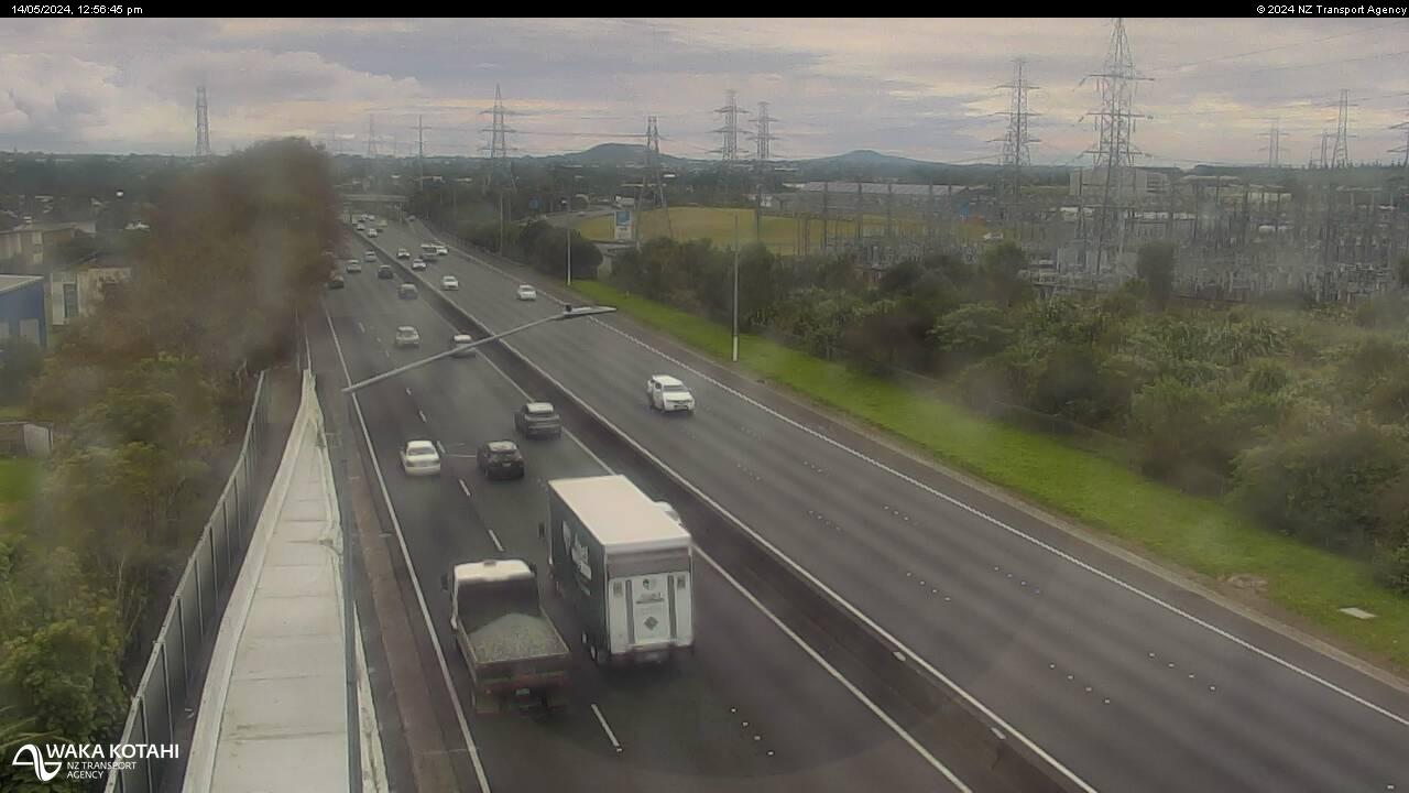
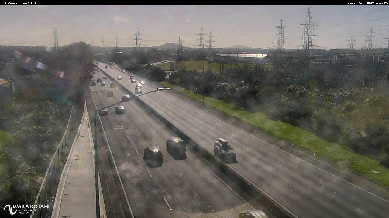
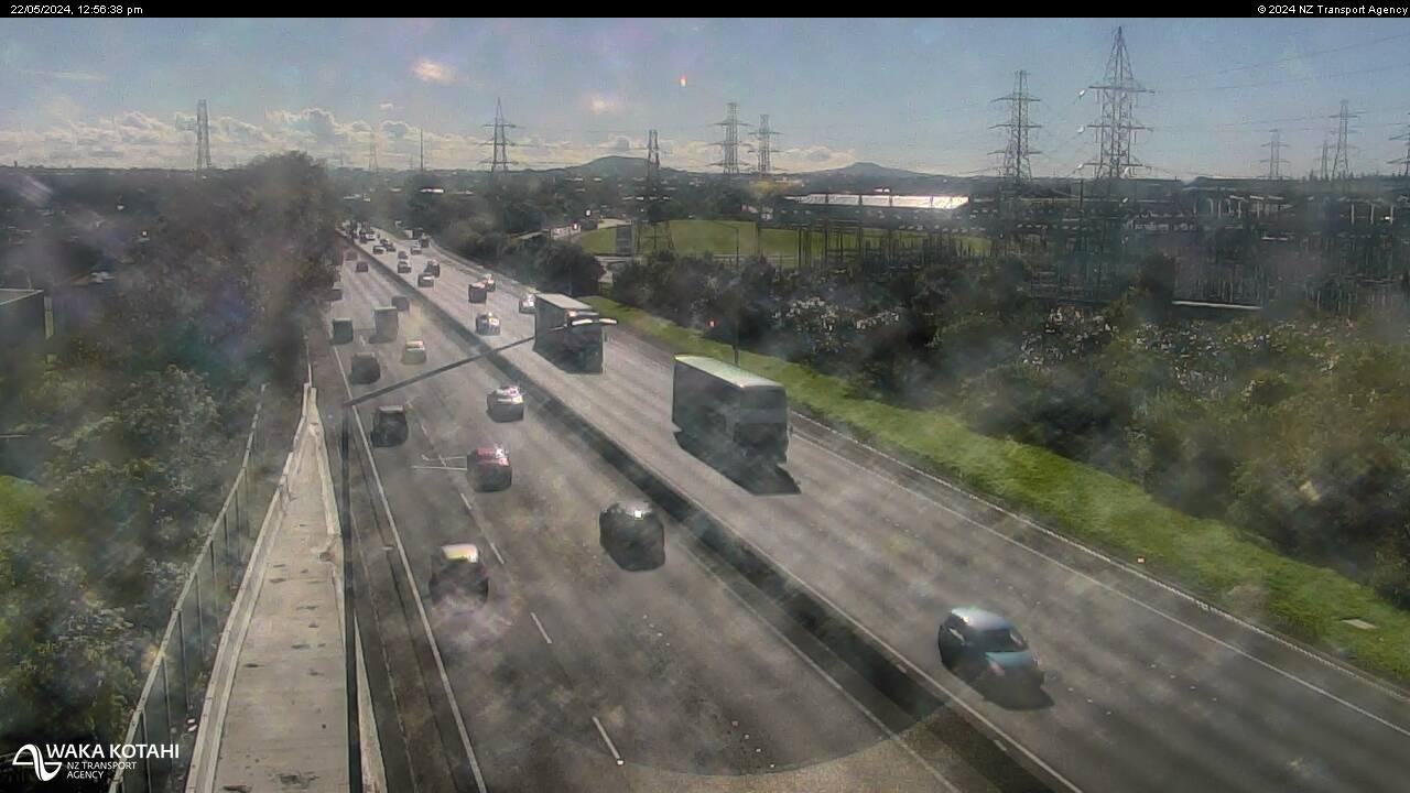
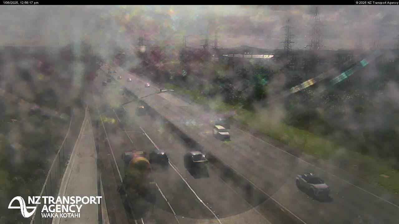
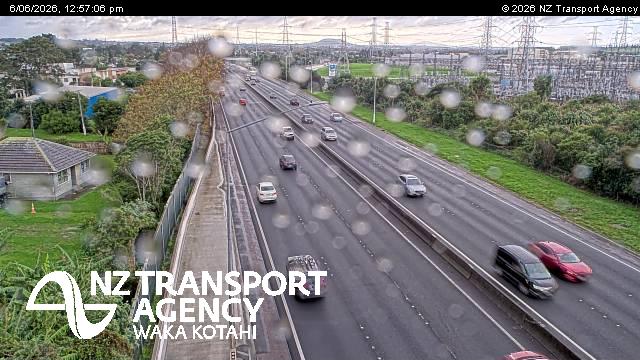
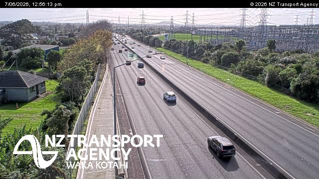
Manurewa East, New Zealand - 205.5 miles from Awatoto: Traffic SH1, Alfriston Road - A view of the current traffic conditions in northern direction.
Operator: NZ Transport Agency
Operator: NZ Transport Agency


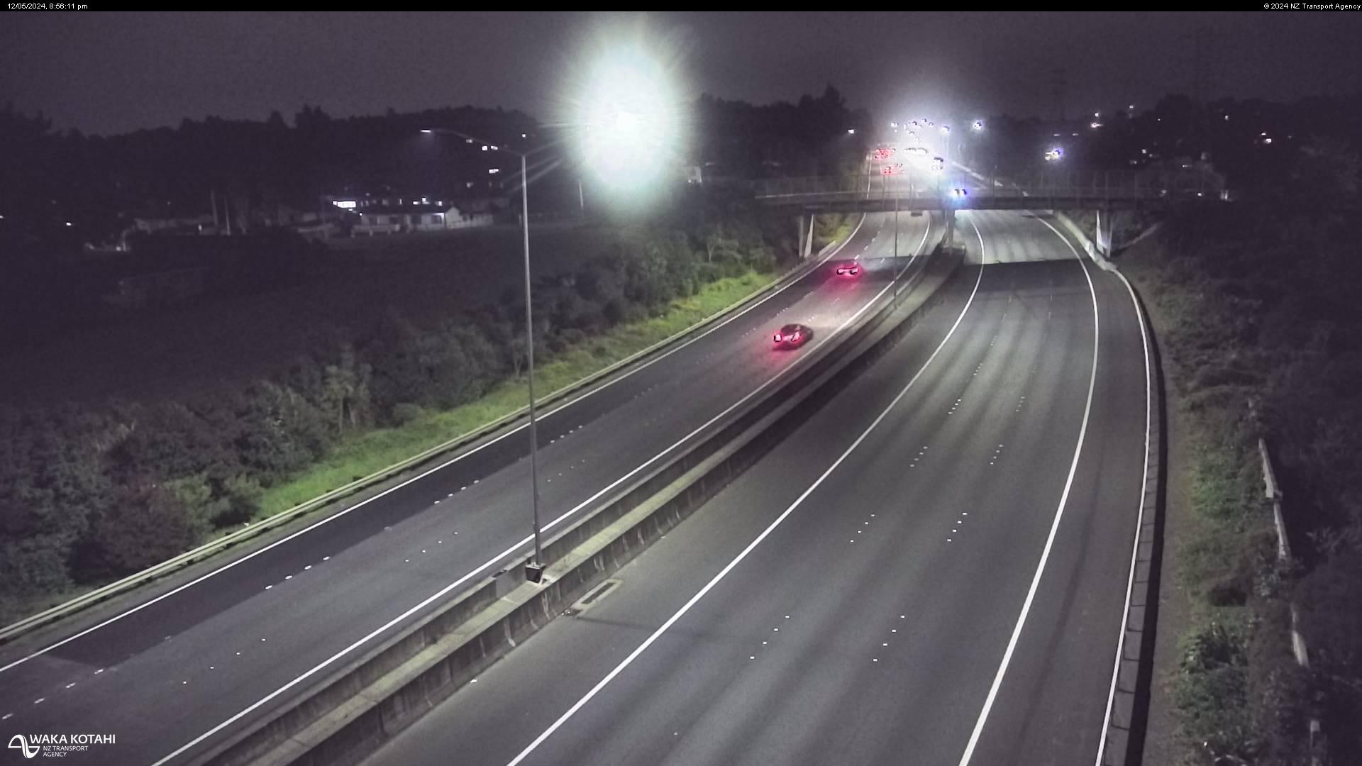
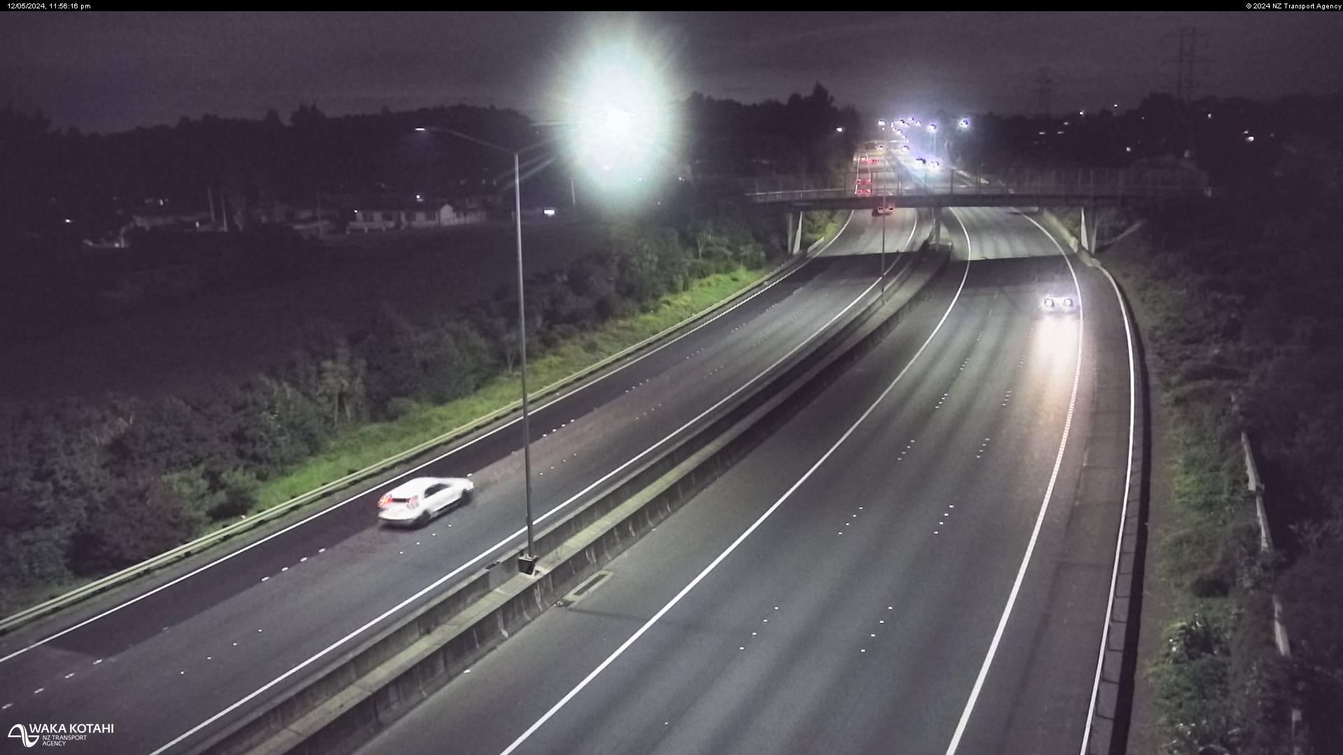


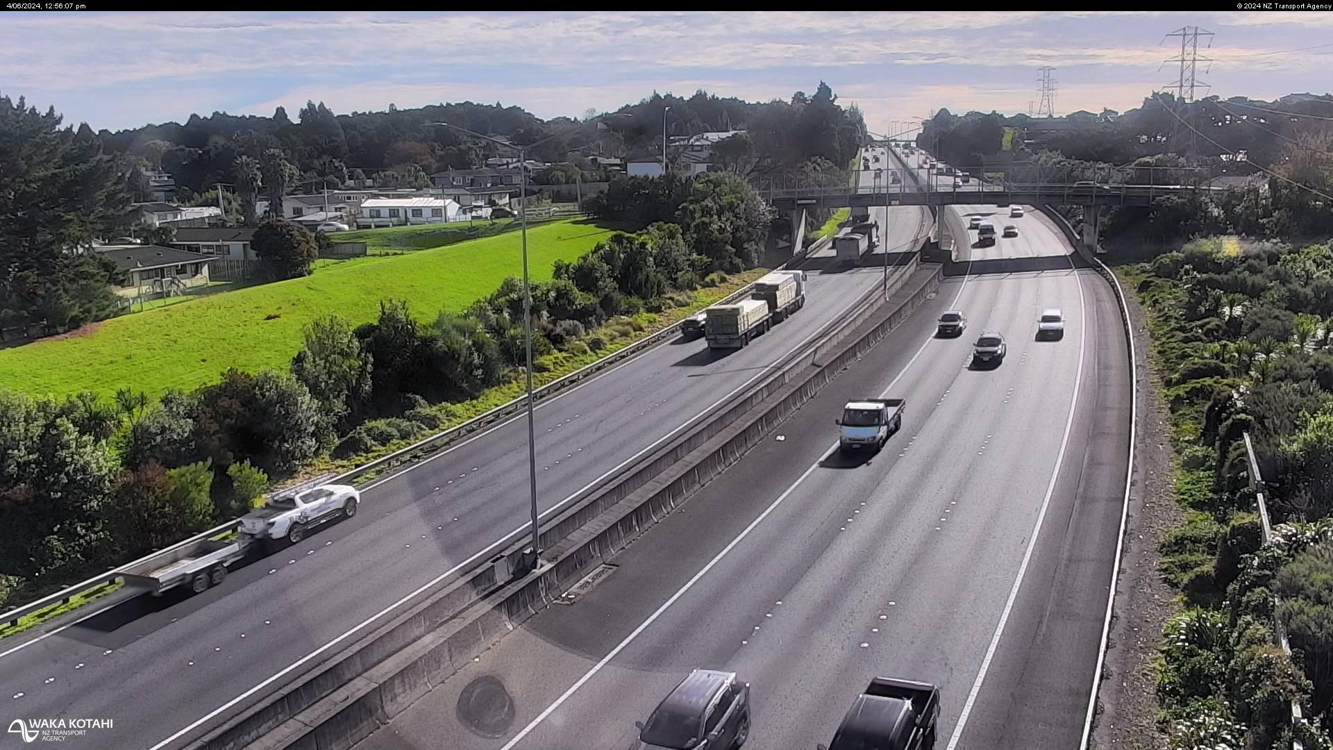


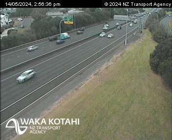
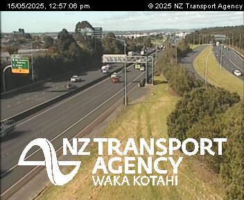
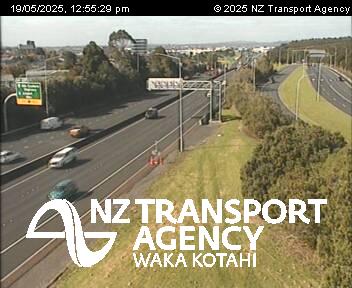
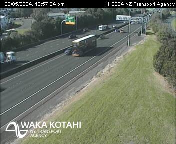
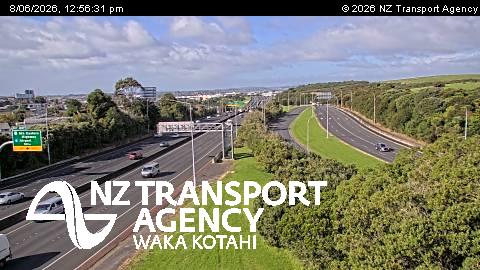
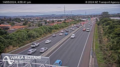
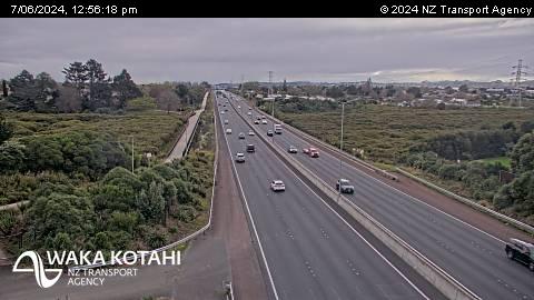
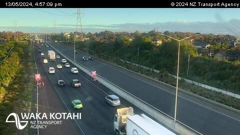
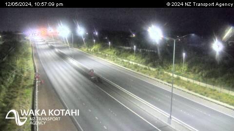
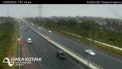
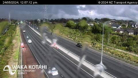
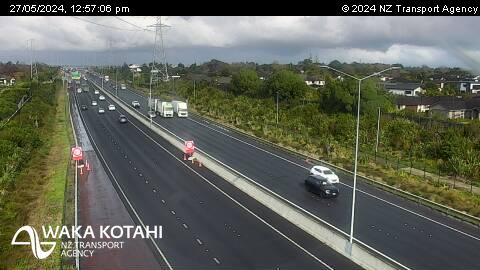
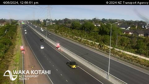
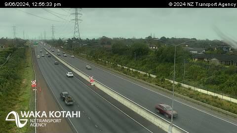
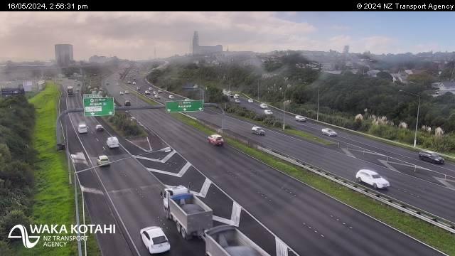
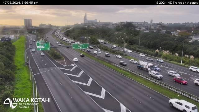
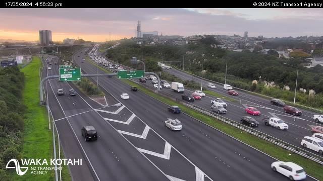
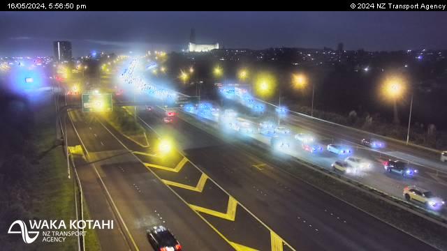
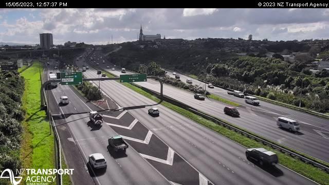
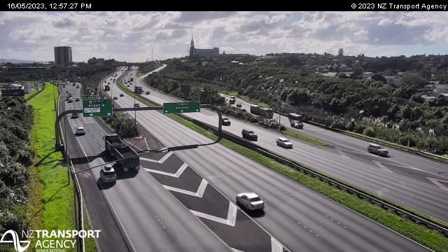
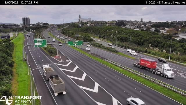
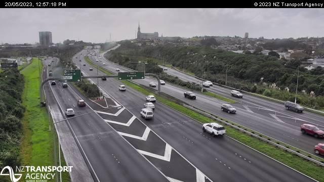
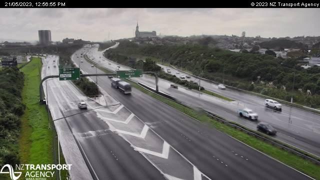
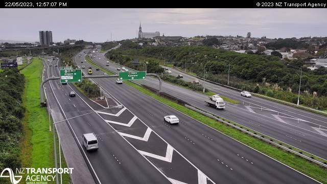
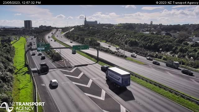
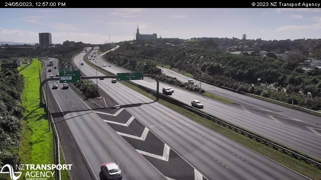
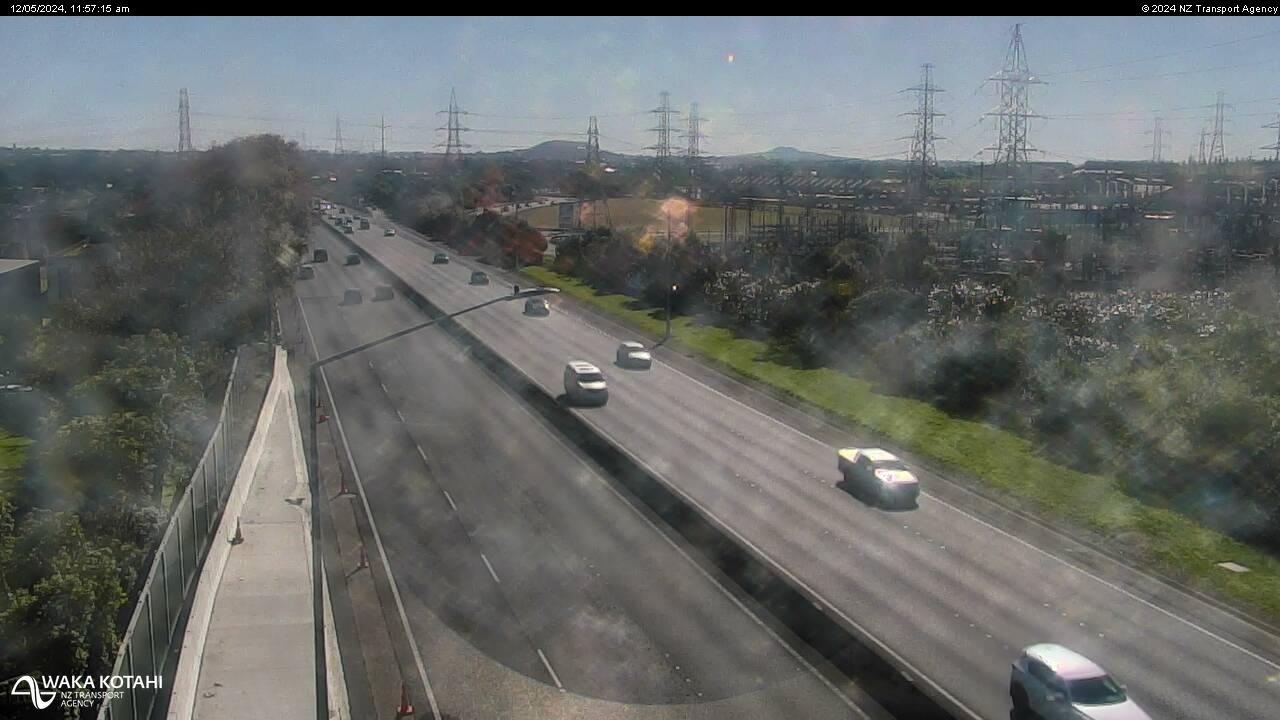
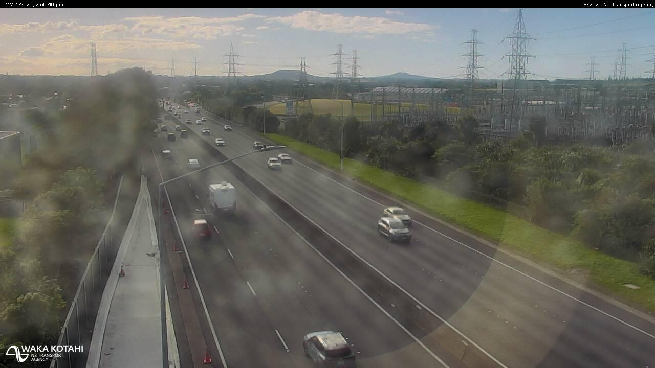
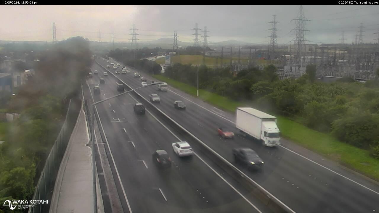
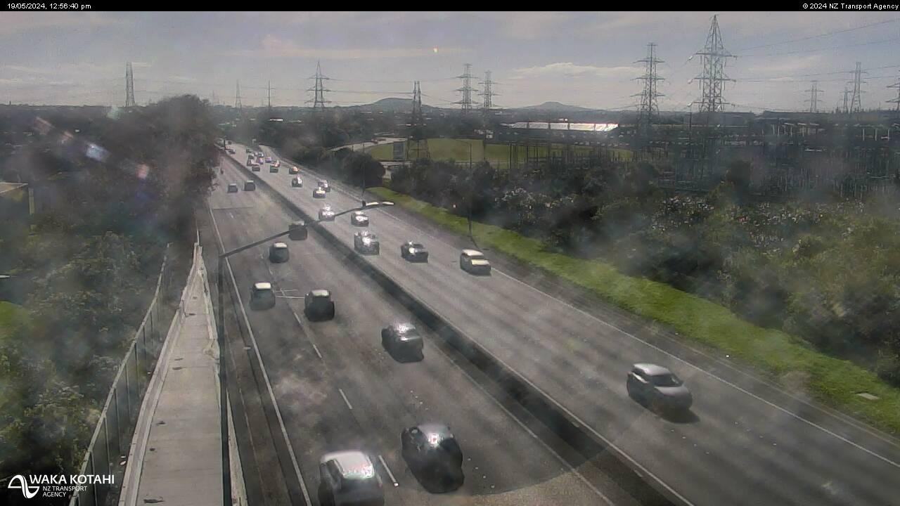
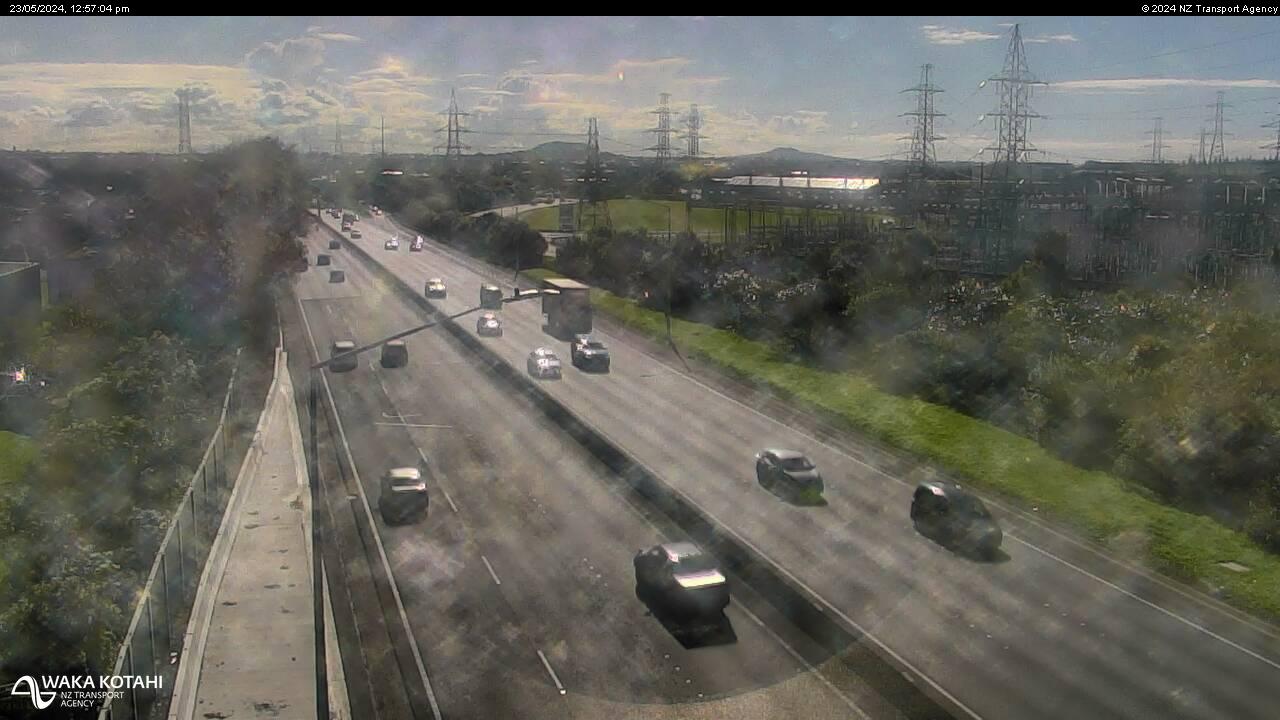
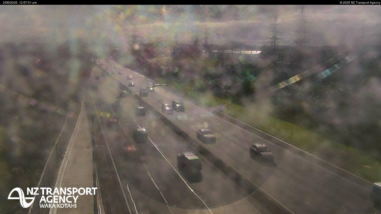
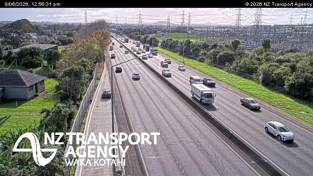
Manukau City, New Zealand - 207.9 miles from Awatoto: Traffic SH1, Rainbows End - A view of the current traffic conditions in northern direction.
Operator: NZ Transport Agency
Operator: NZ Transport Agency


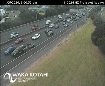
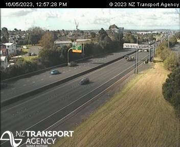
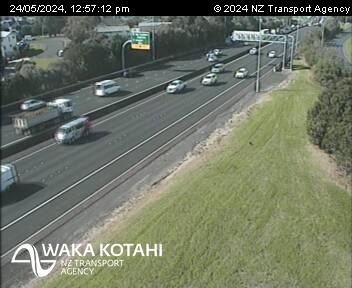
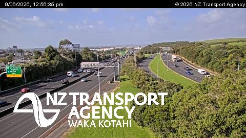
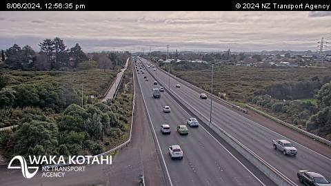
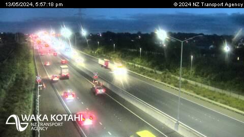
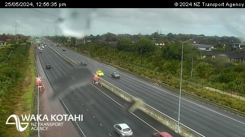
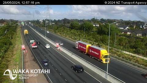
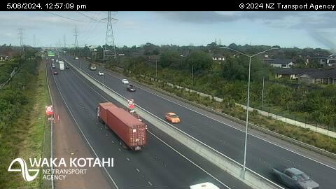
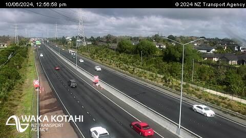
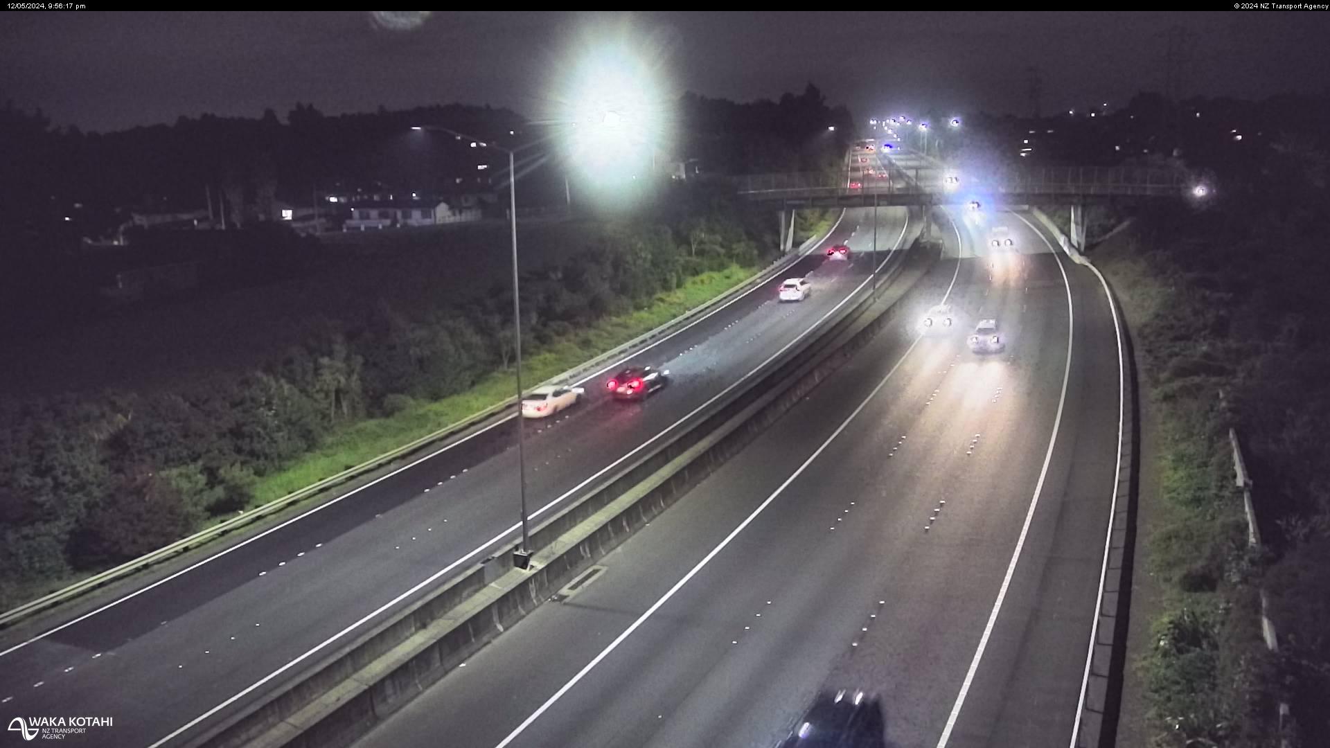
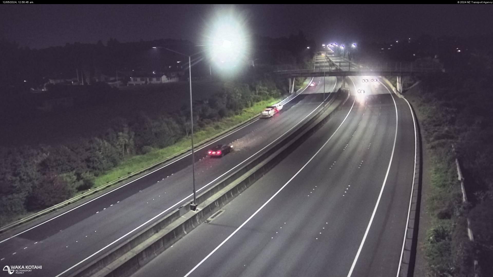
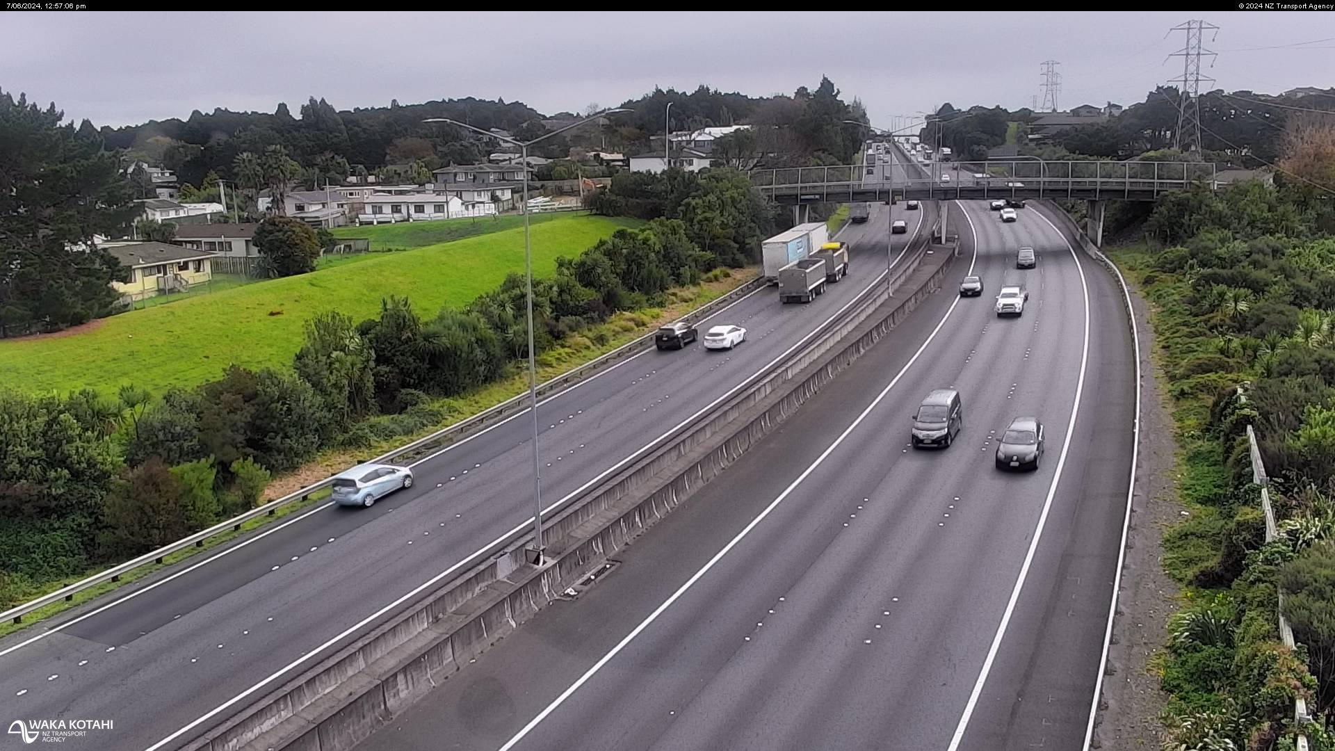
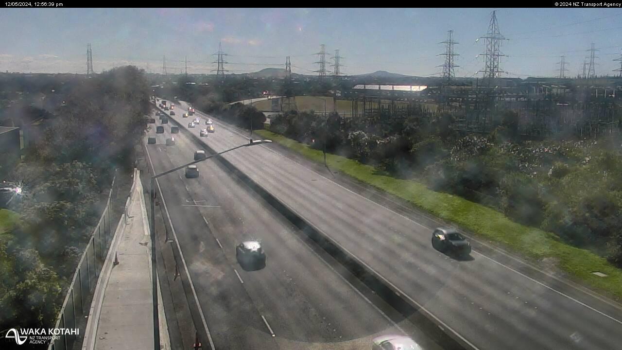
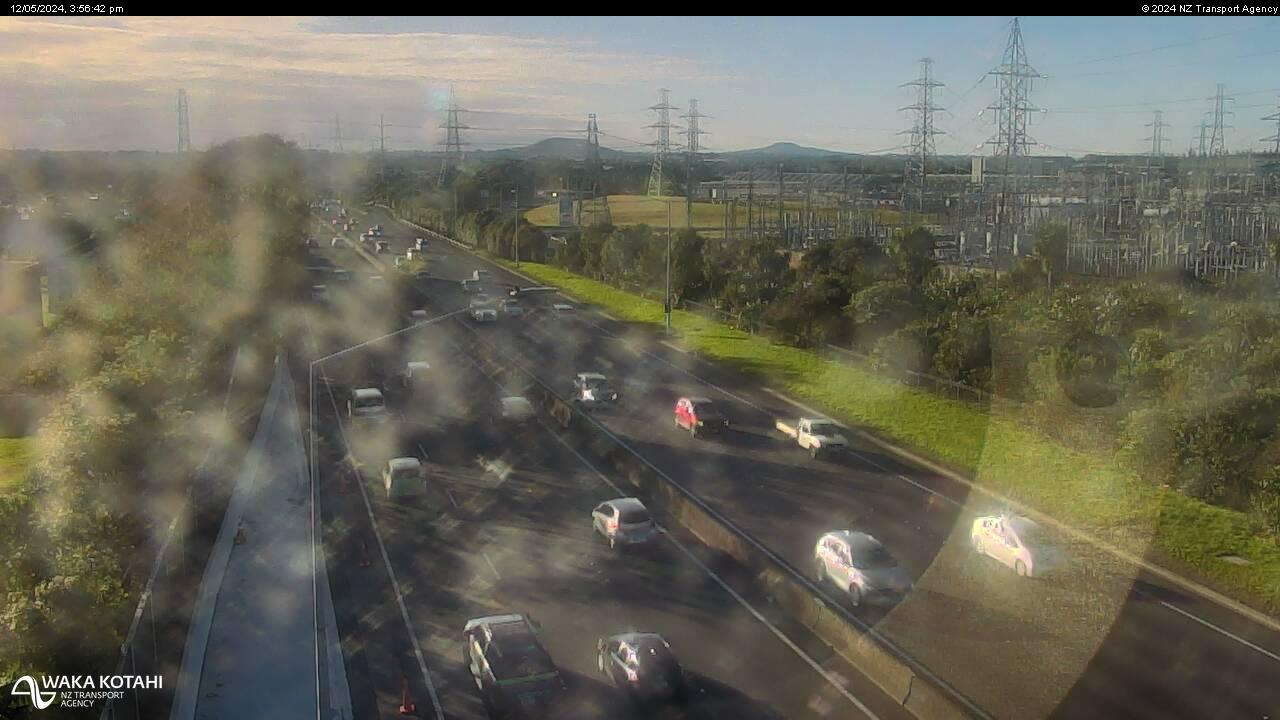
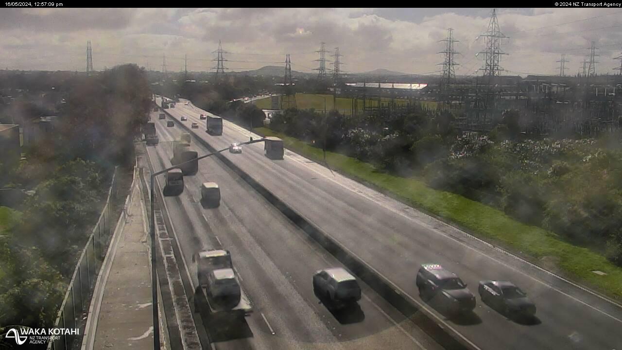
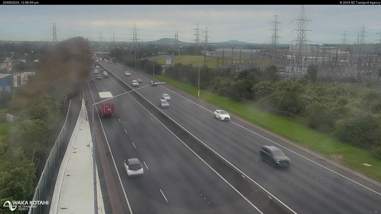
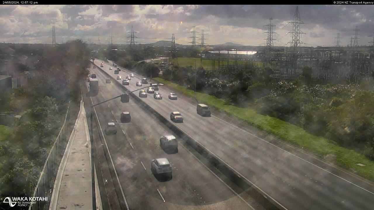
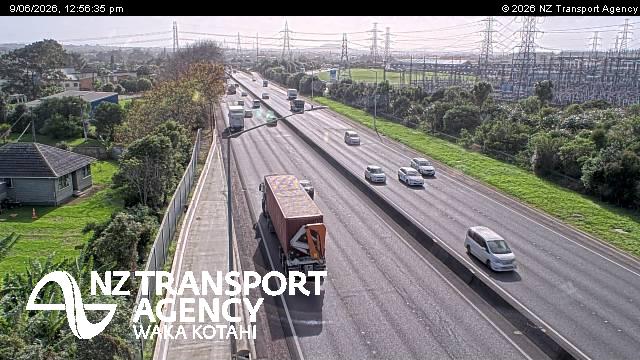
Westfield, New Zealand - 211.3 miles from Awatoto: Traffic SH1, Bairds Road - A view of the current traffic conditions in northern direction.
Operator: NZ Transport Agency
Operator: NZ Transport Agency
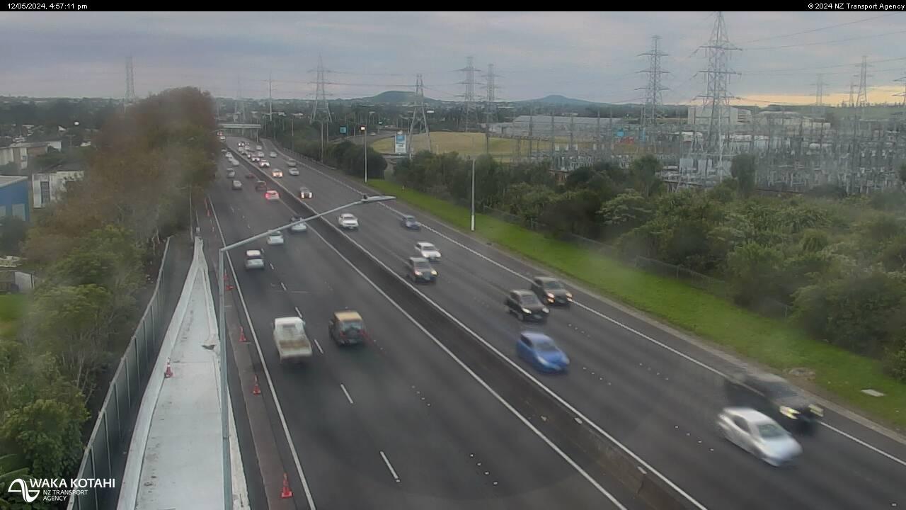
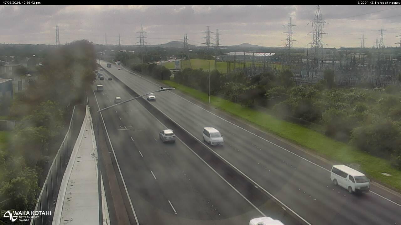
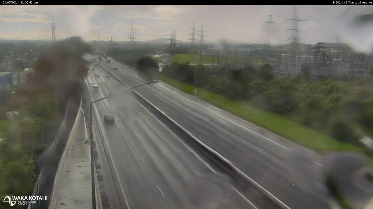
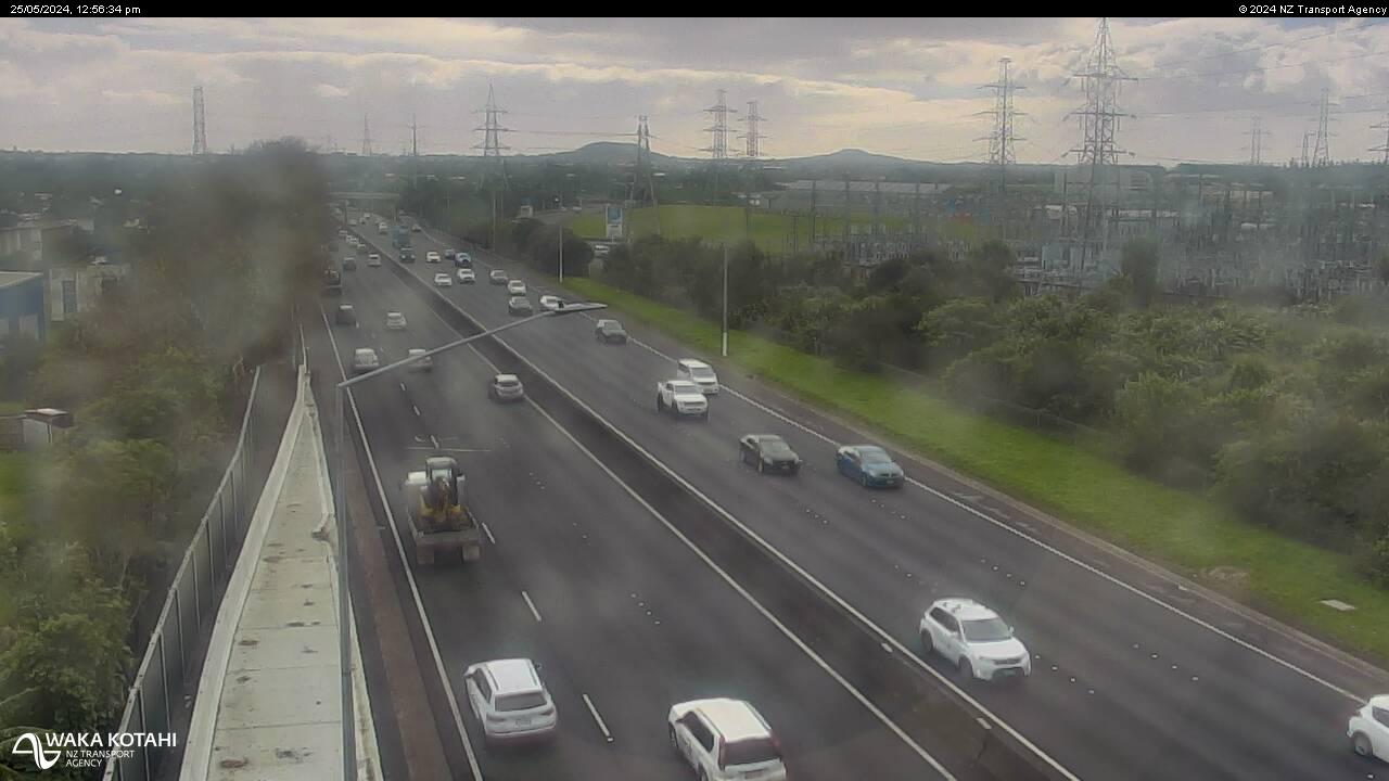
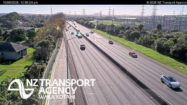
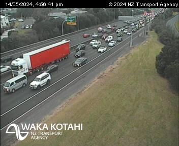
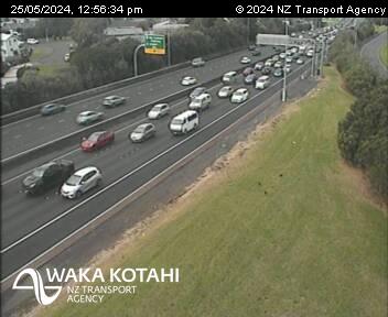
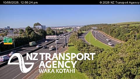
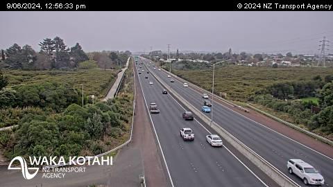
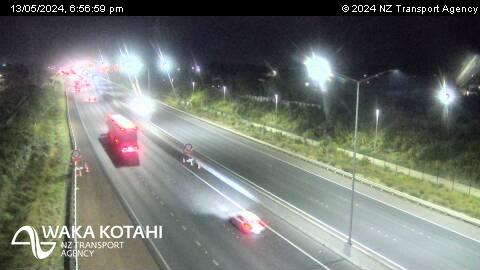
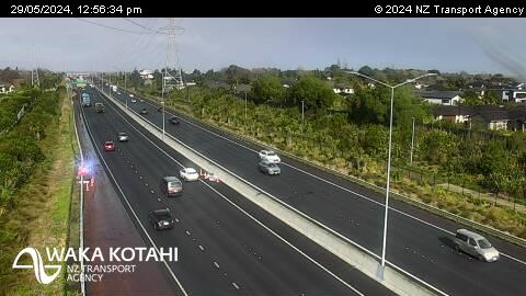
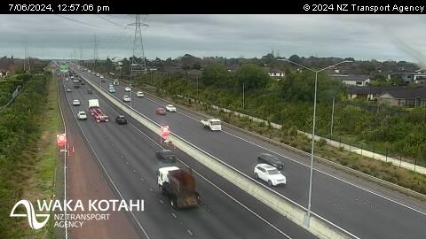
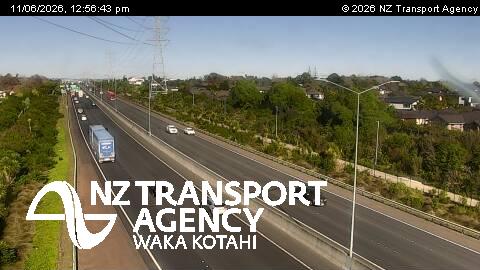
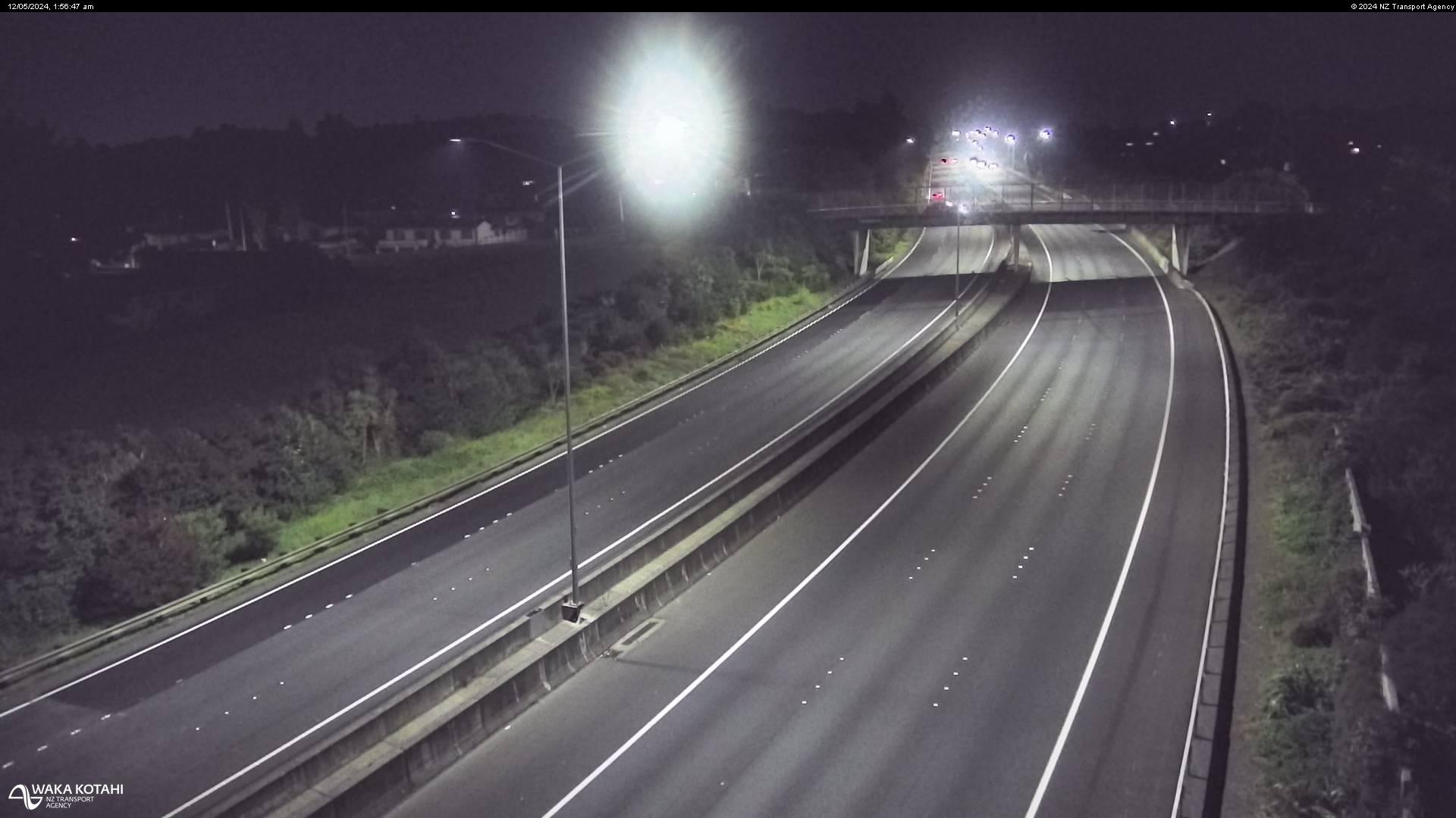
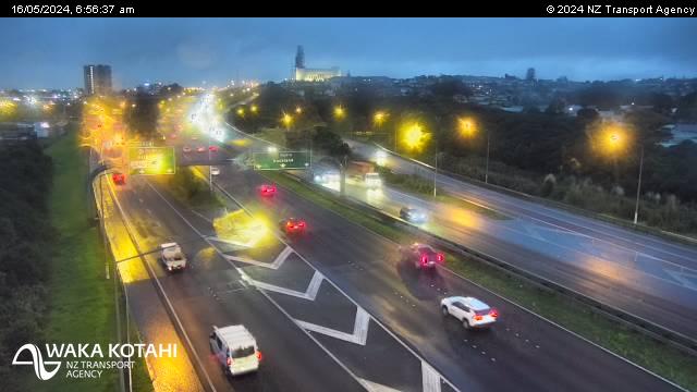
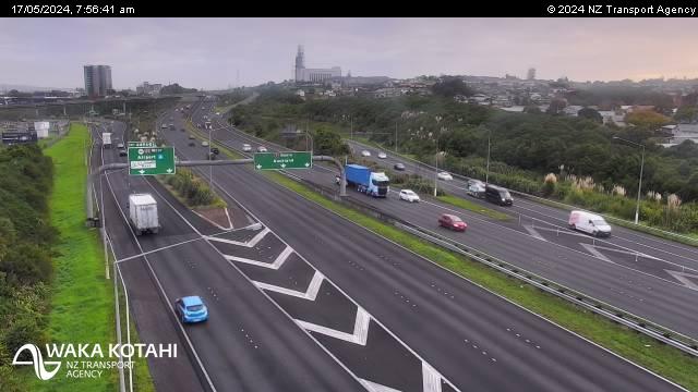
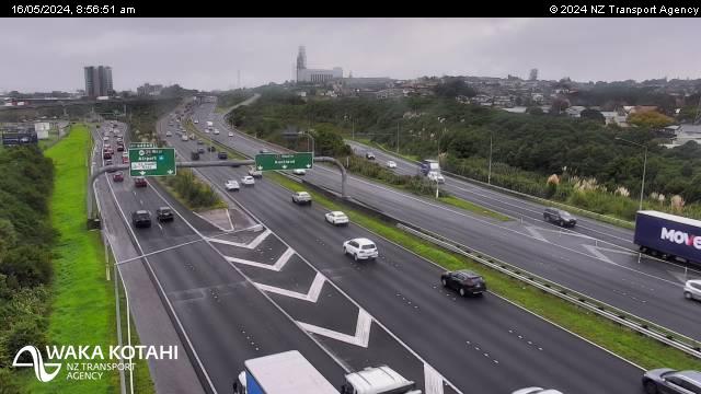
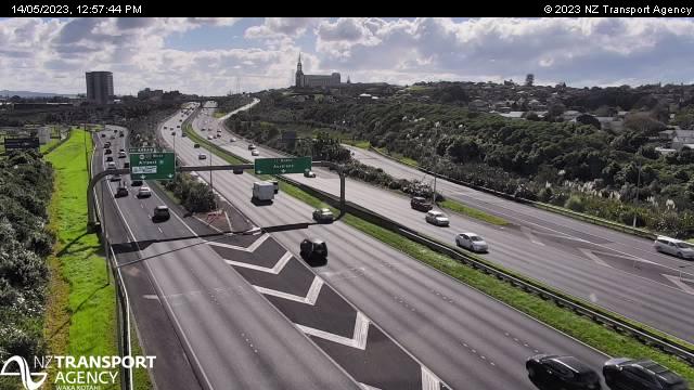
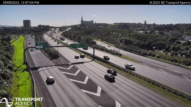
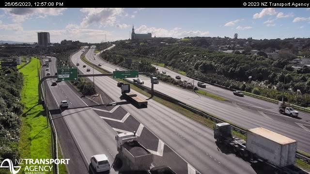
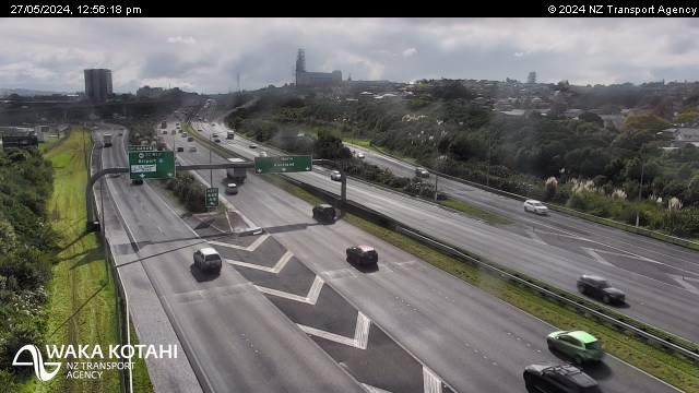
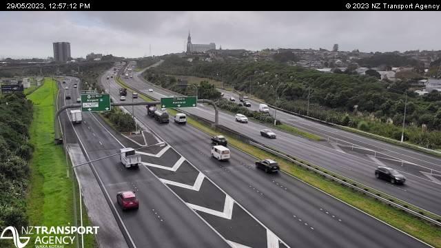
Penrose, New Zealand - 214.2 miles from Awatoto: Traffic SH1, South Eastern Highway - A view of the current traffic conditions in southern direction.
Operator: NZ Transport Agency
Operator: NZ Transport Agency