Webcams in the region of Asphalto (historical), California, USA
The List of Webcams near Asphalto (historical), California, USA:

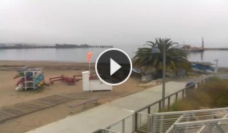
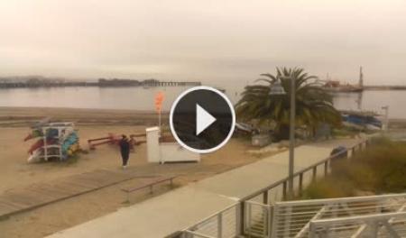
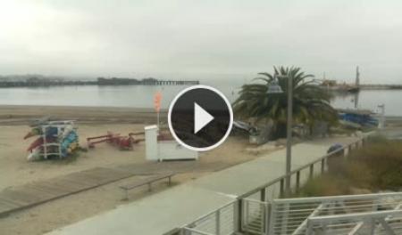
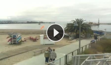
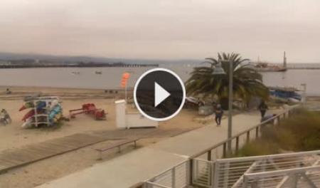
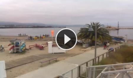
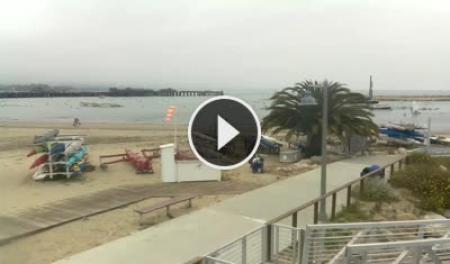
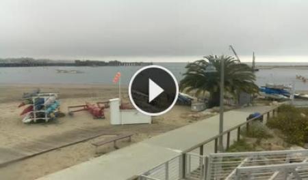
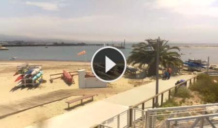
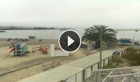
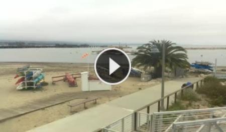
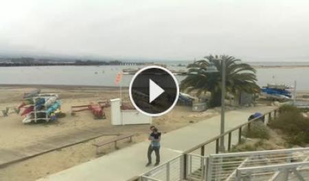
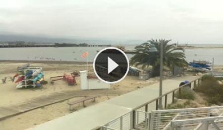
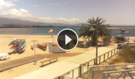
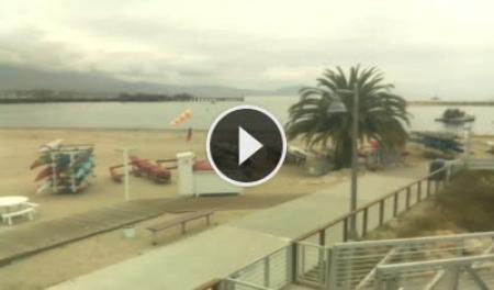
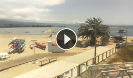
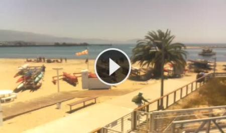
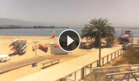
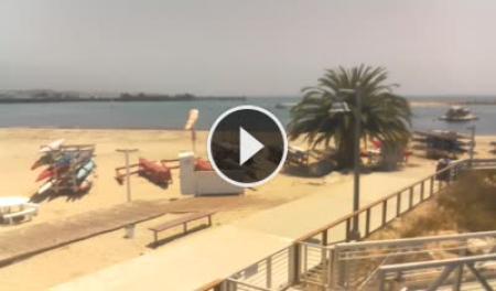
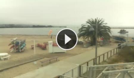
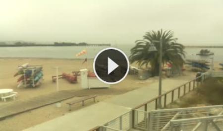
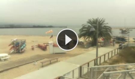
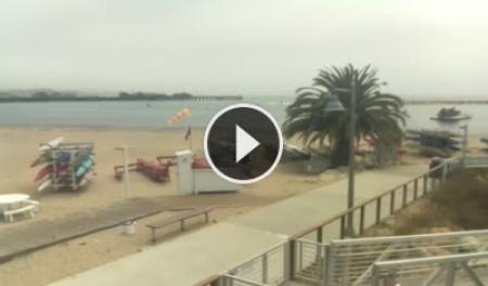
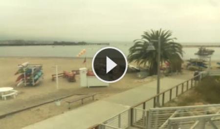
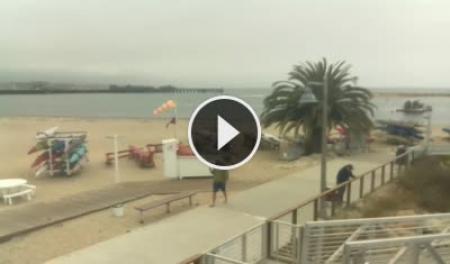
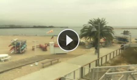
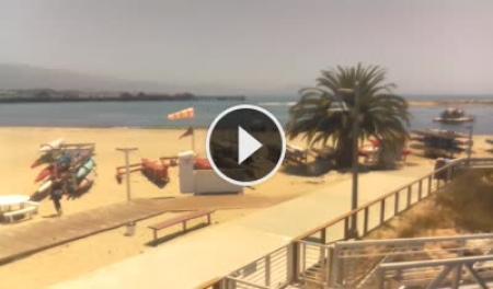
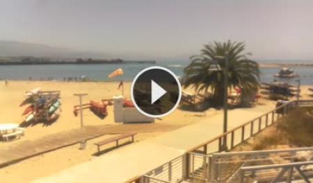
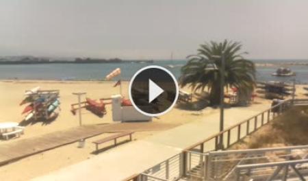
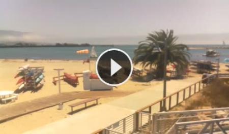
Santa Barbara, California, USA - 61.3 miles from Asphalto (historical): Santa Barbara Stearns Wharf - View of Santa Barbara's Stearns Wharf, beach and harbor entrance from SEA Landing.
Operator: Skyline Webcams
Operator: Skyline Webcams


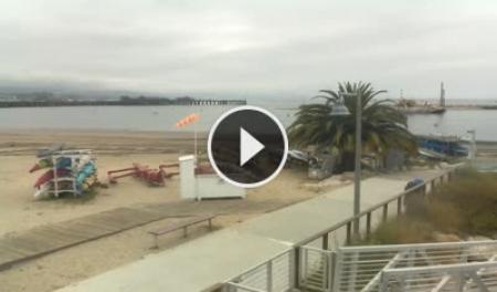
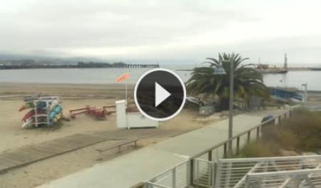
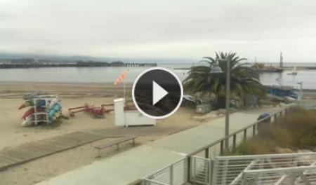
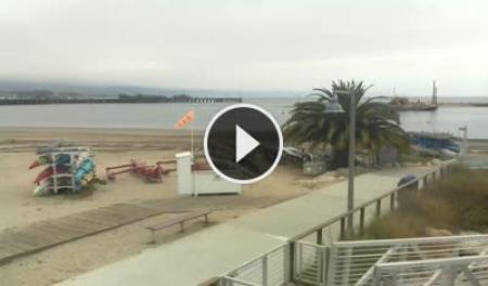
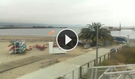
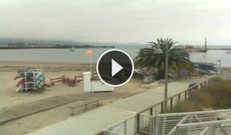
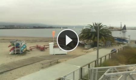
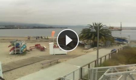
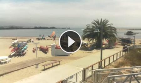
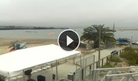
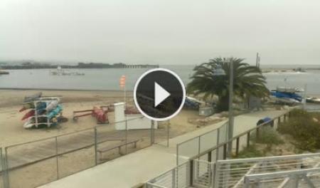
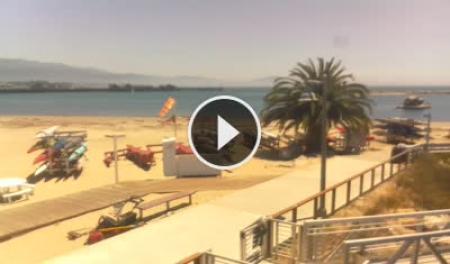


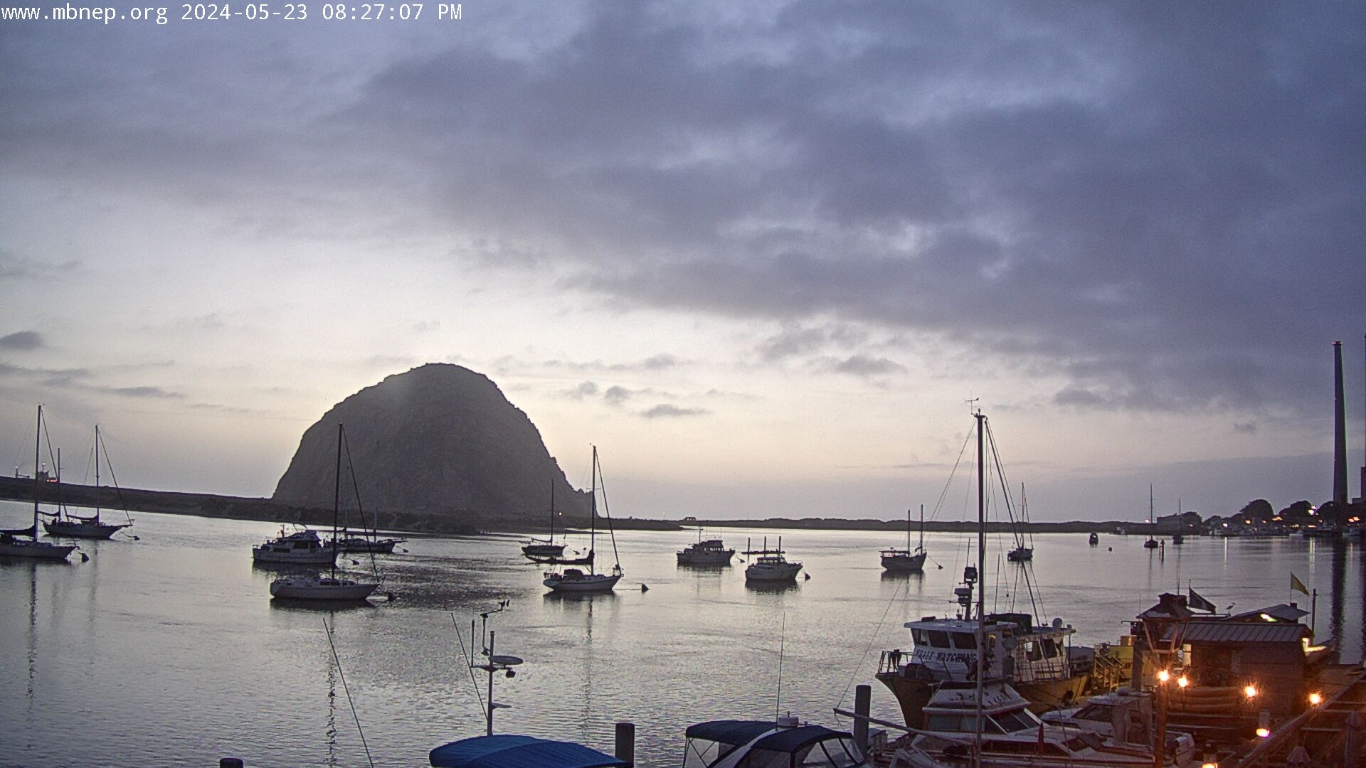
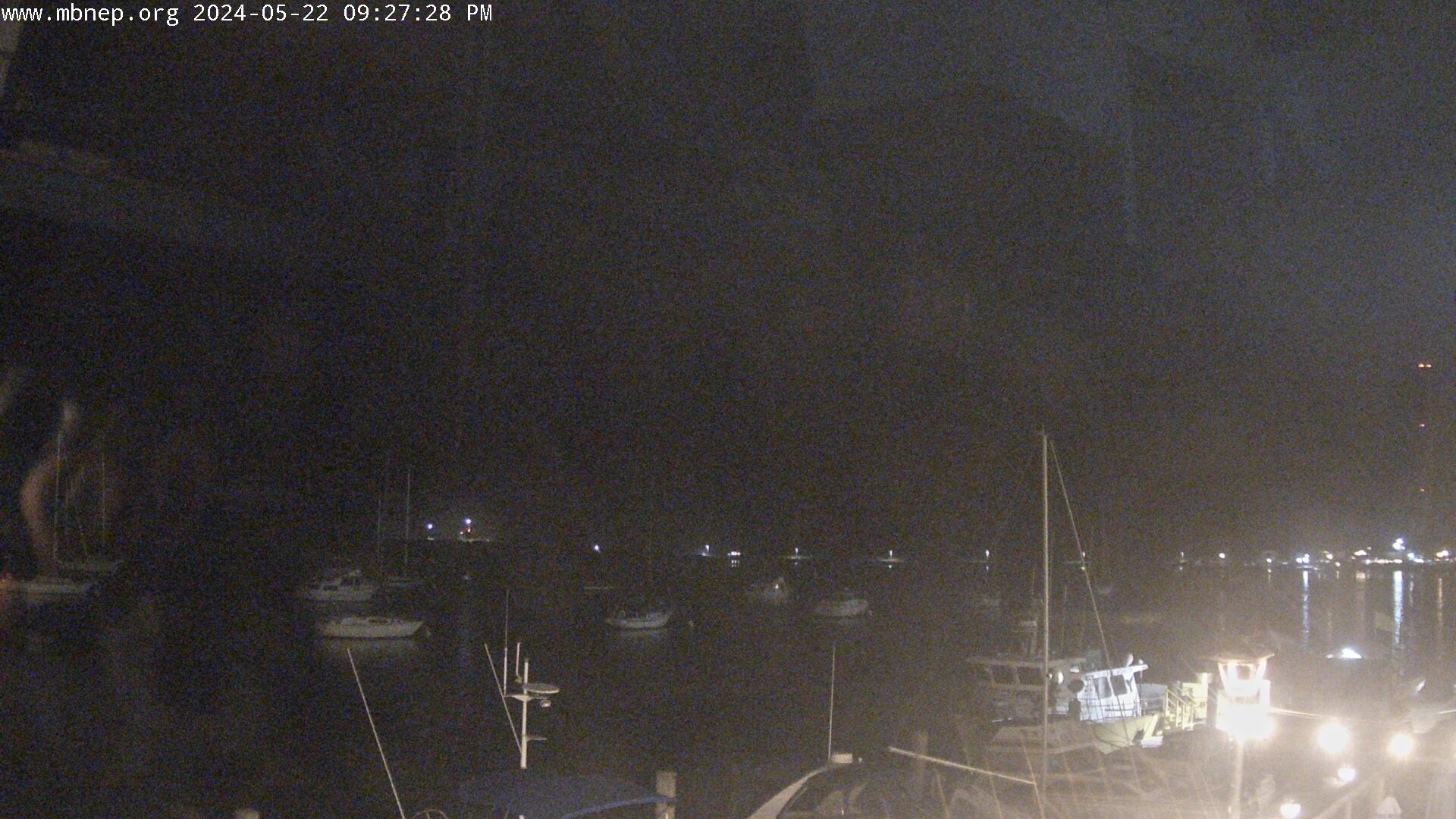
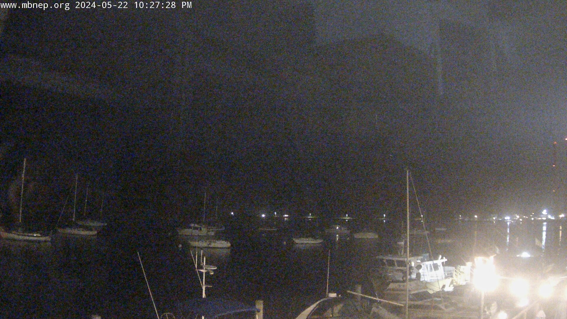
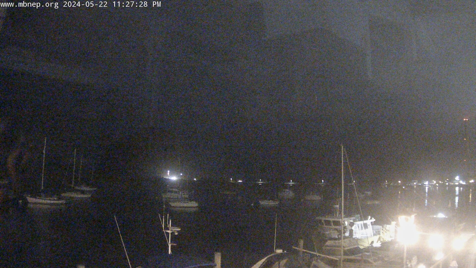
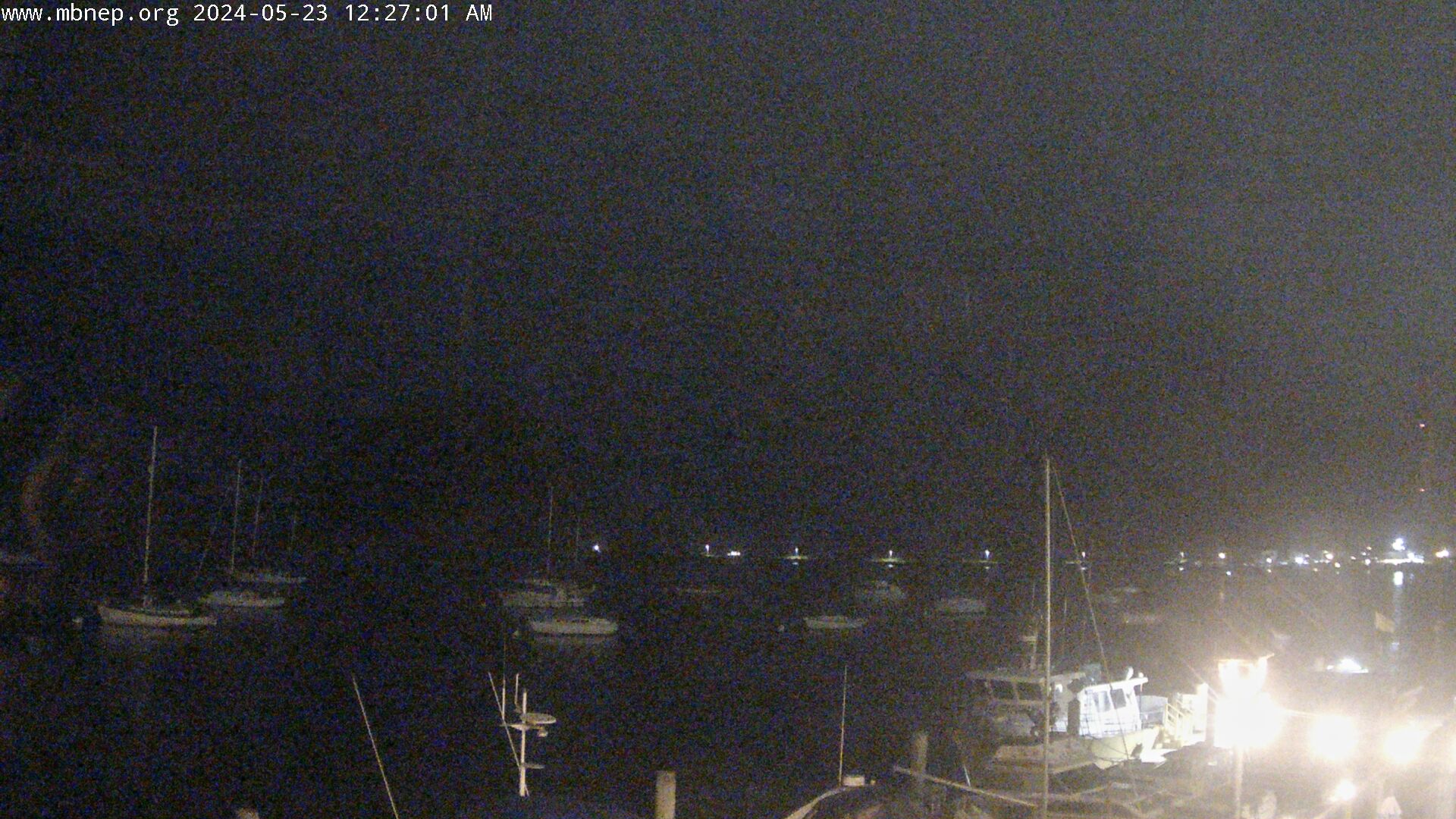
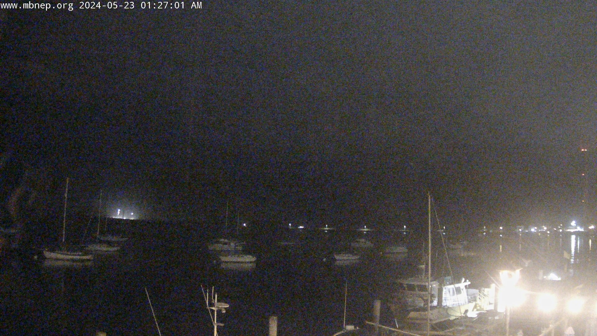
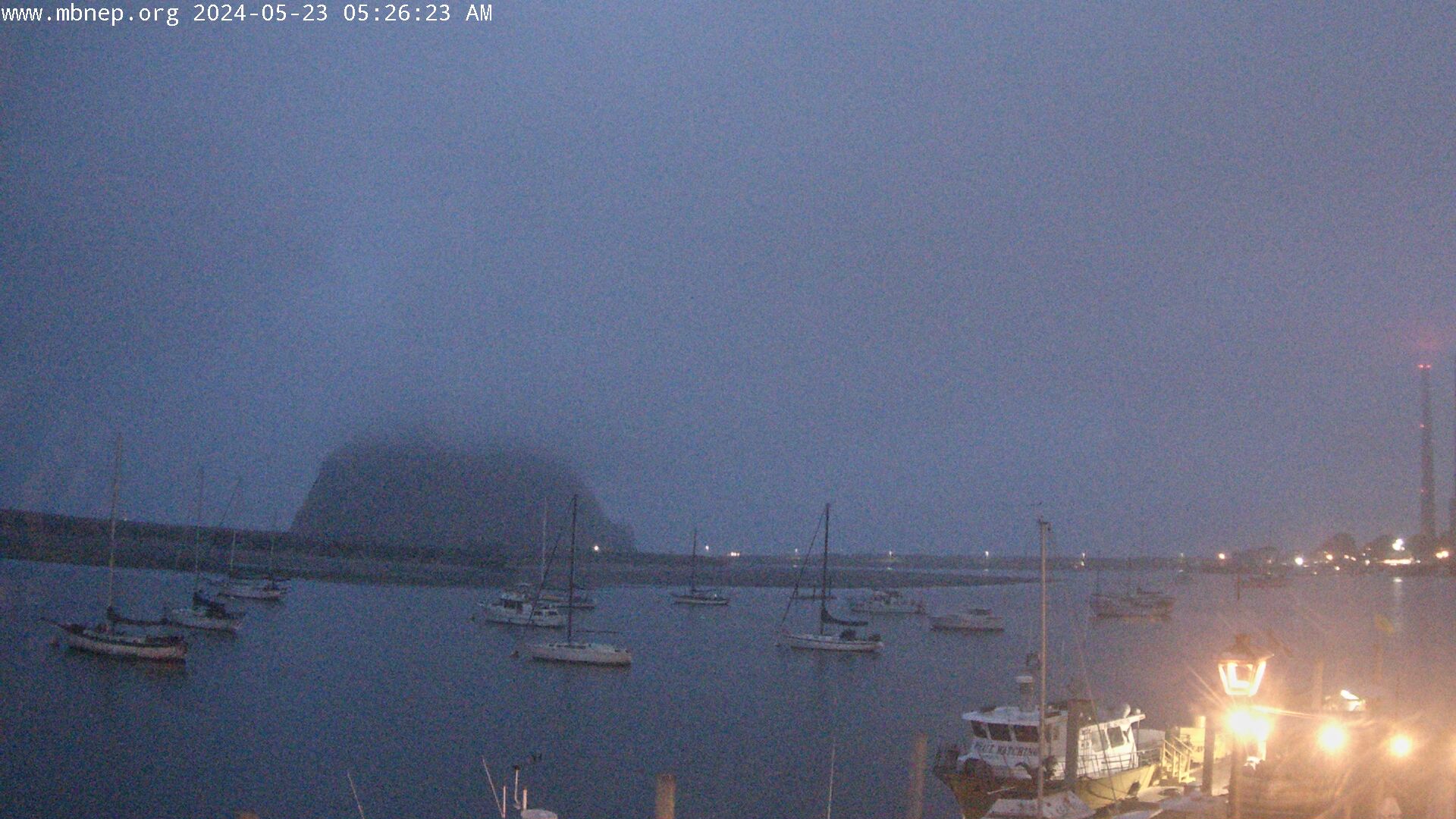
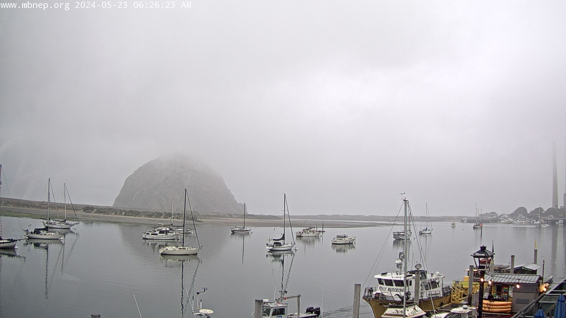
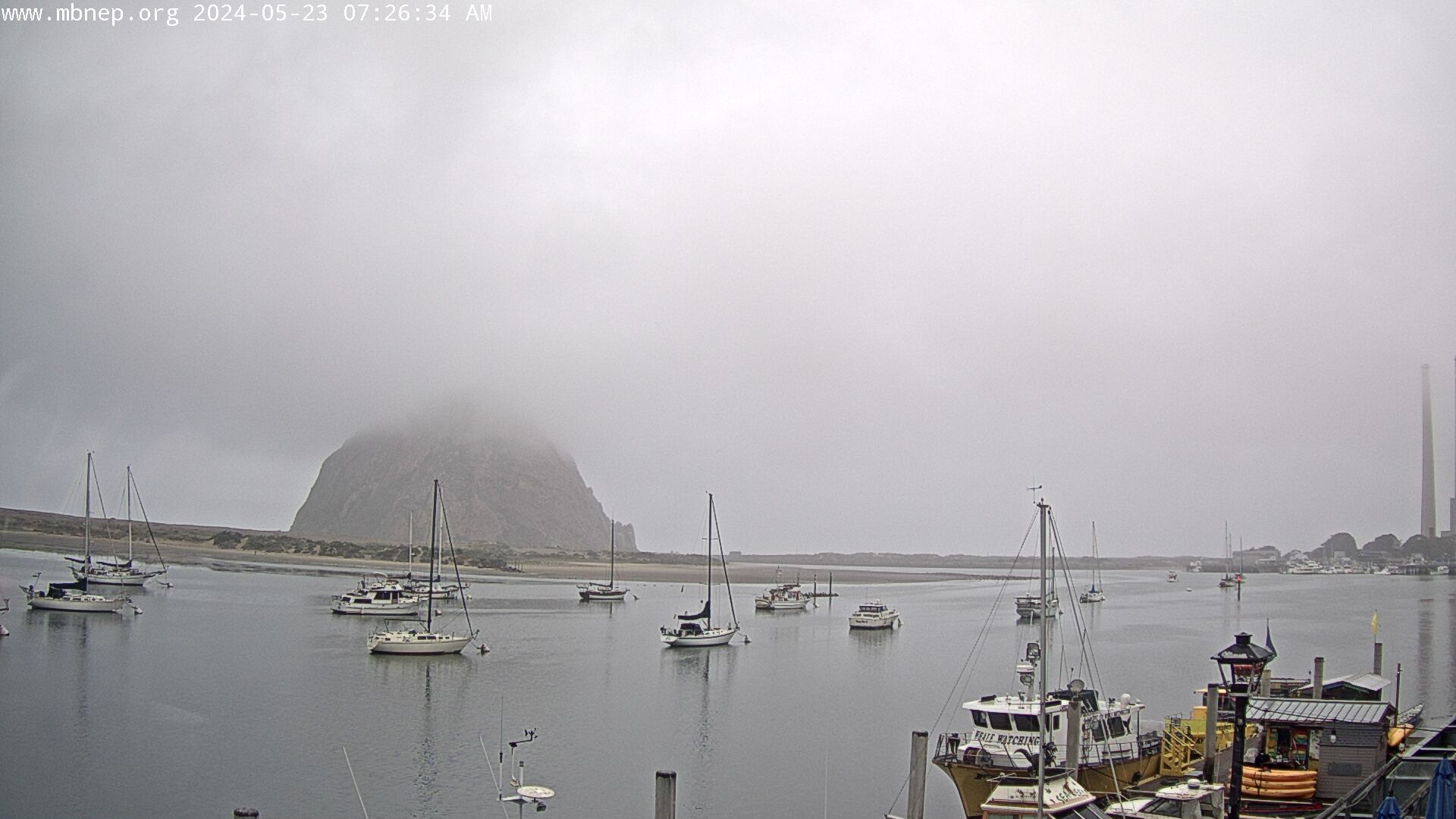
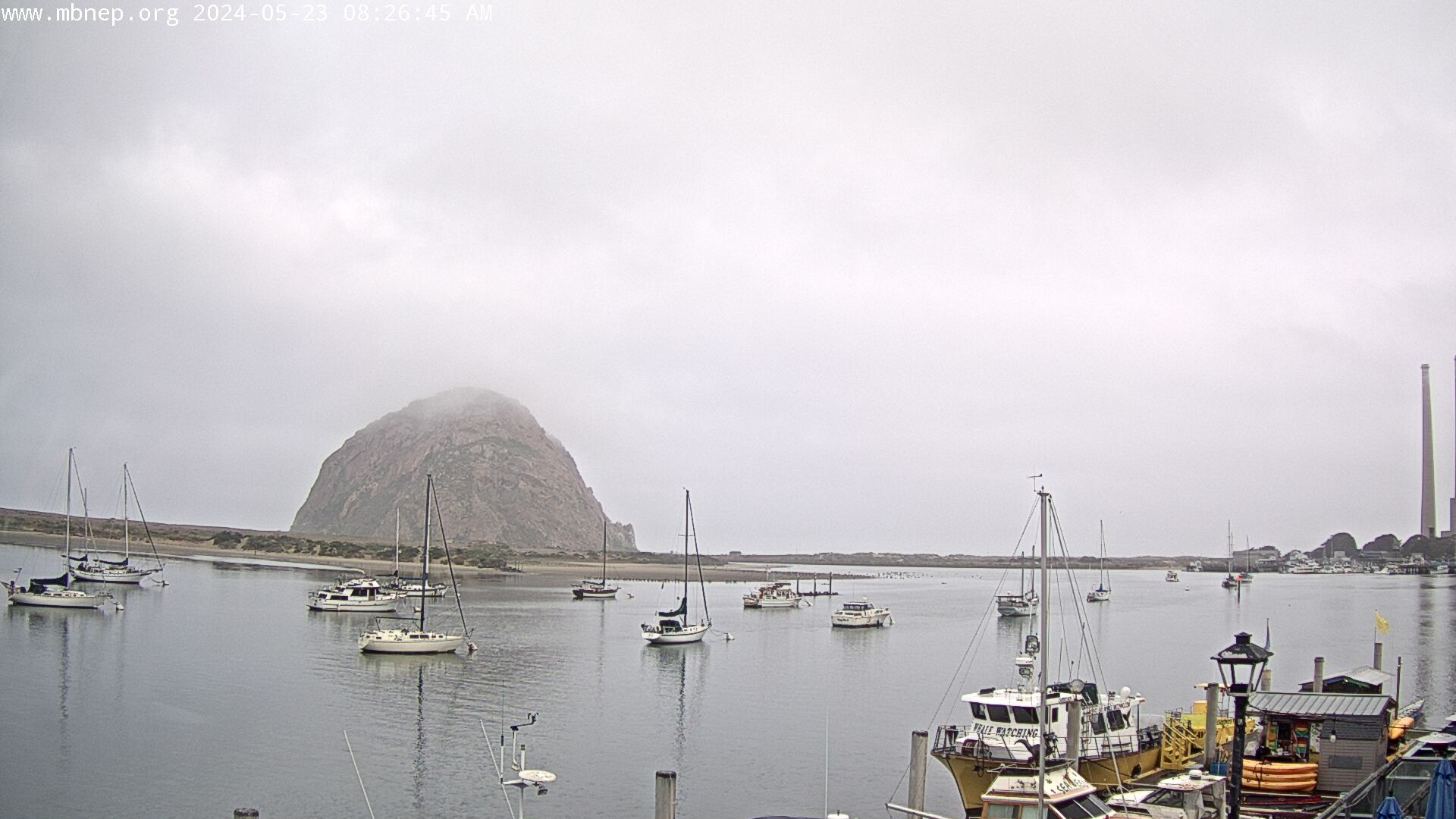
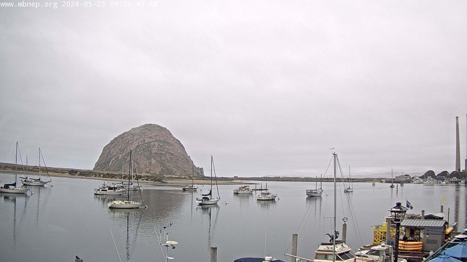
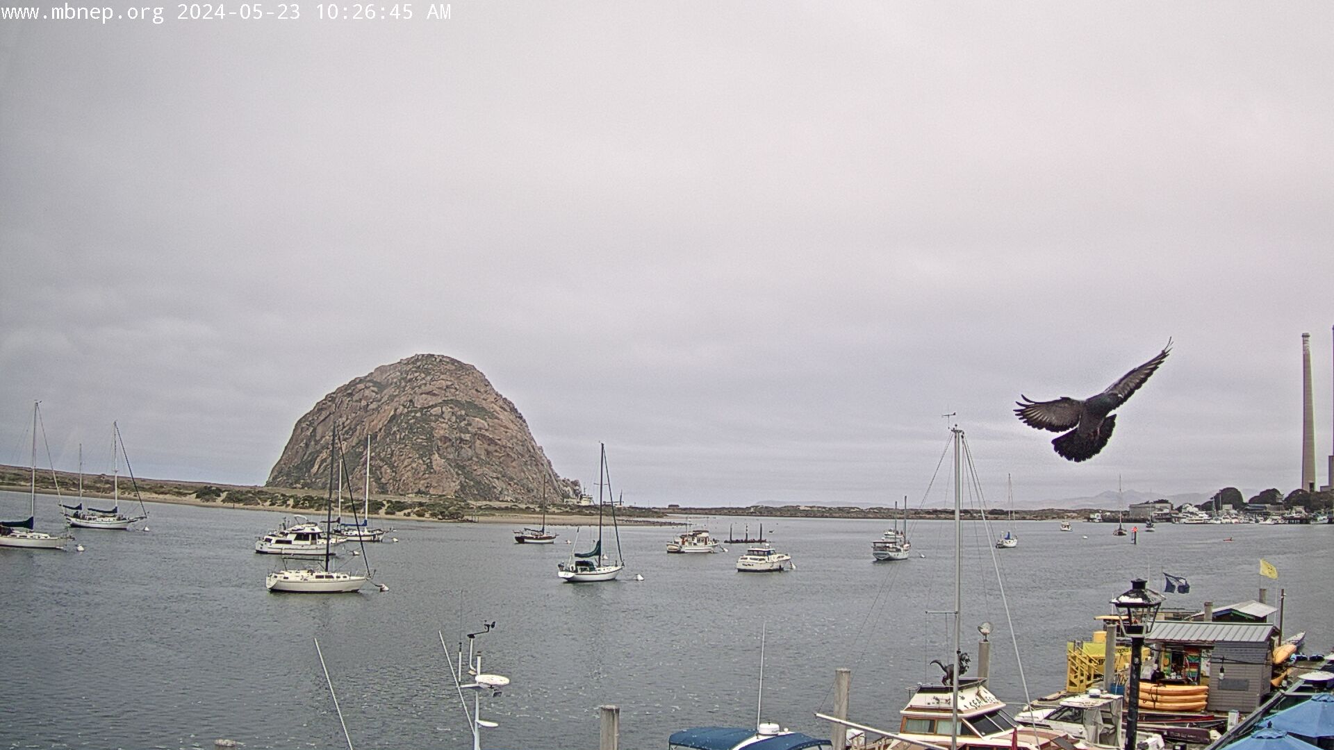
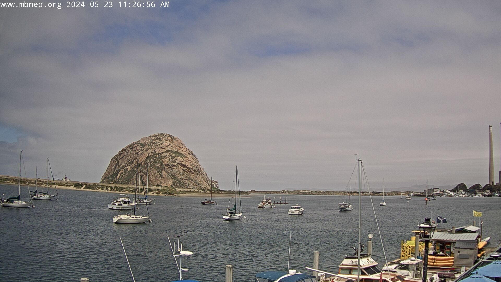
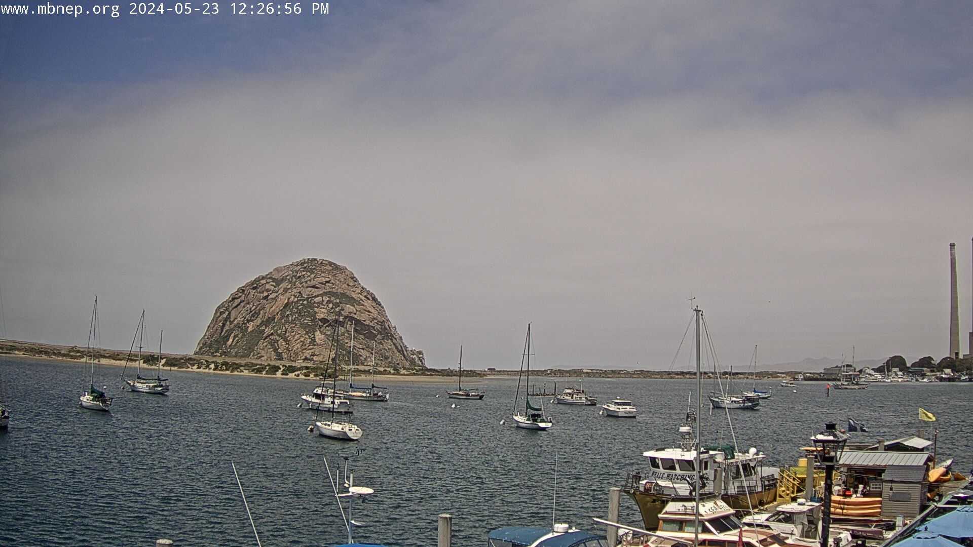
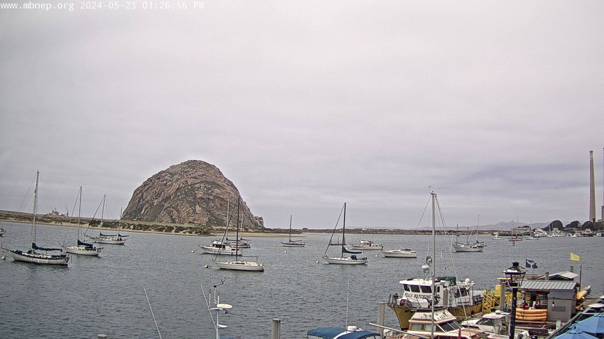
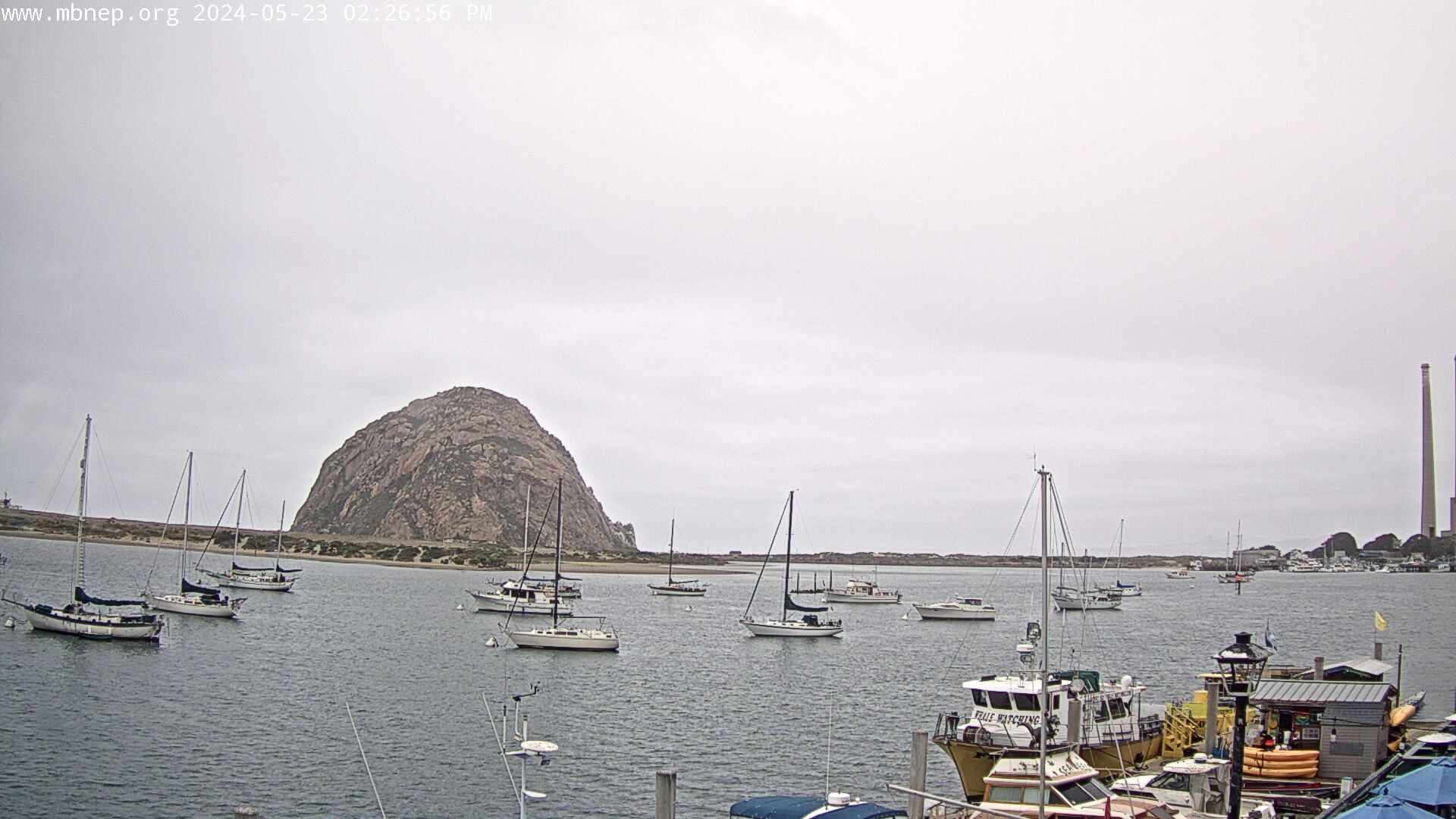
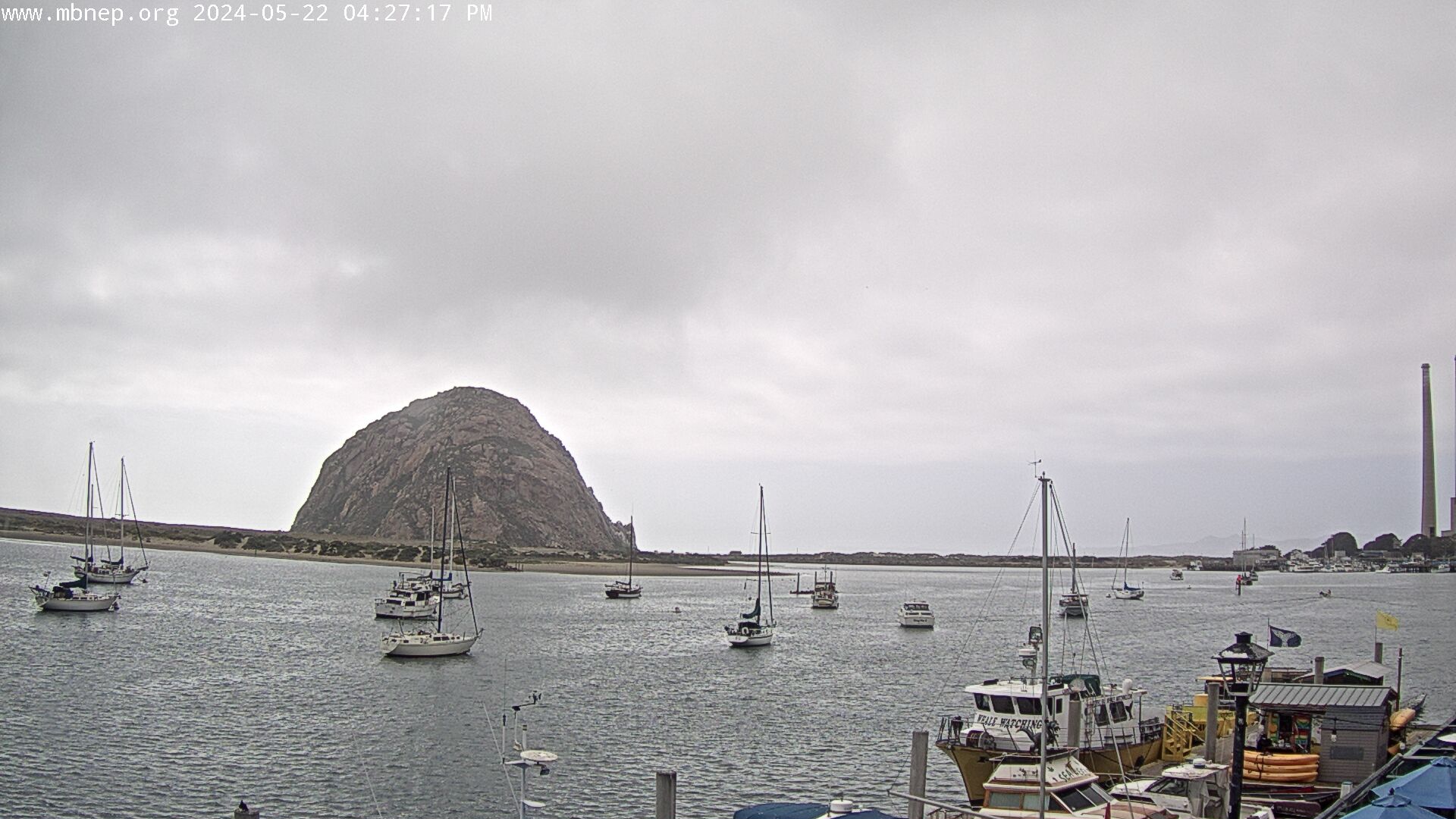
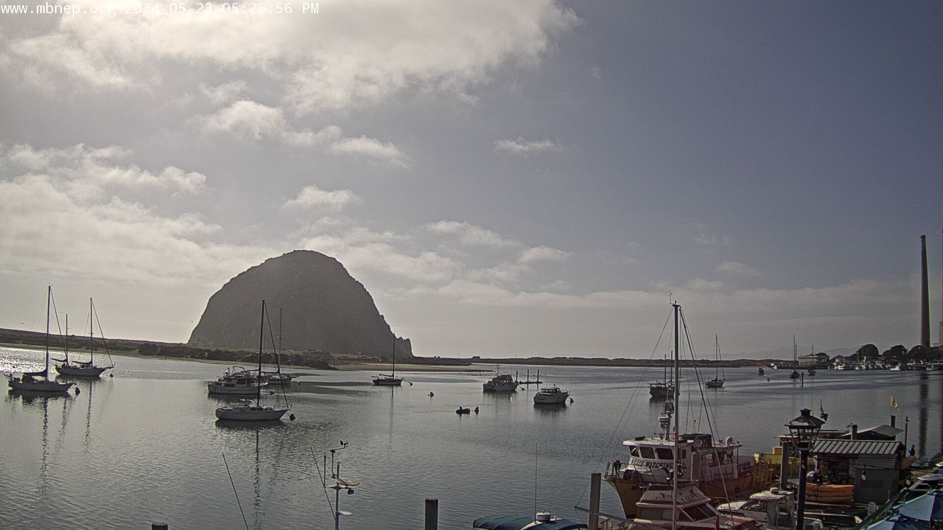
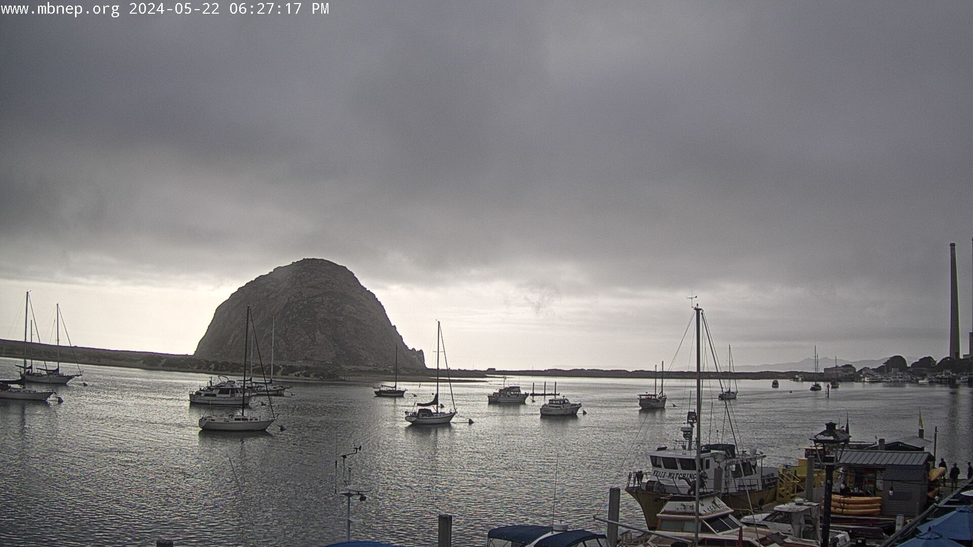
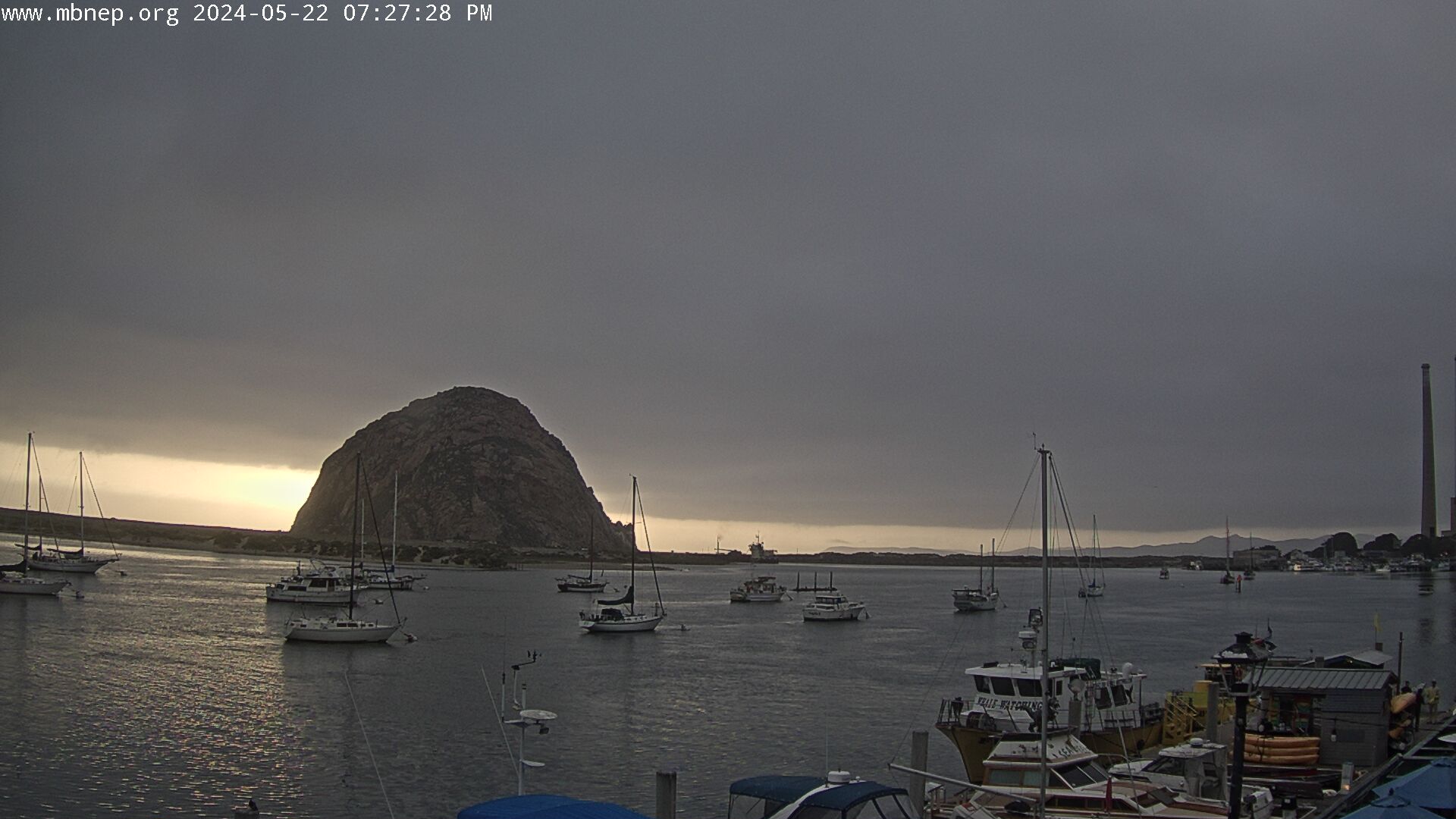
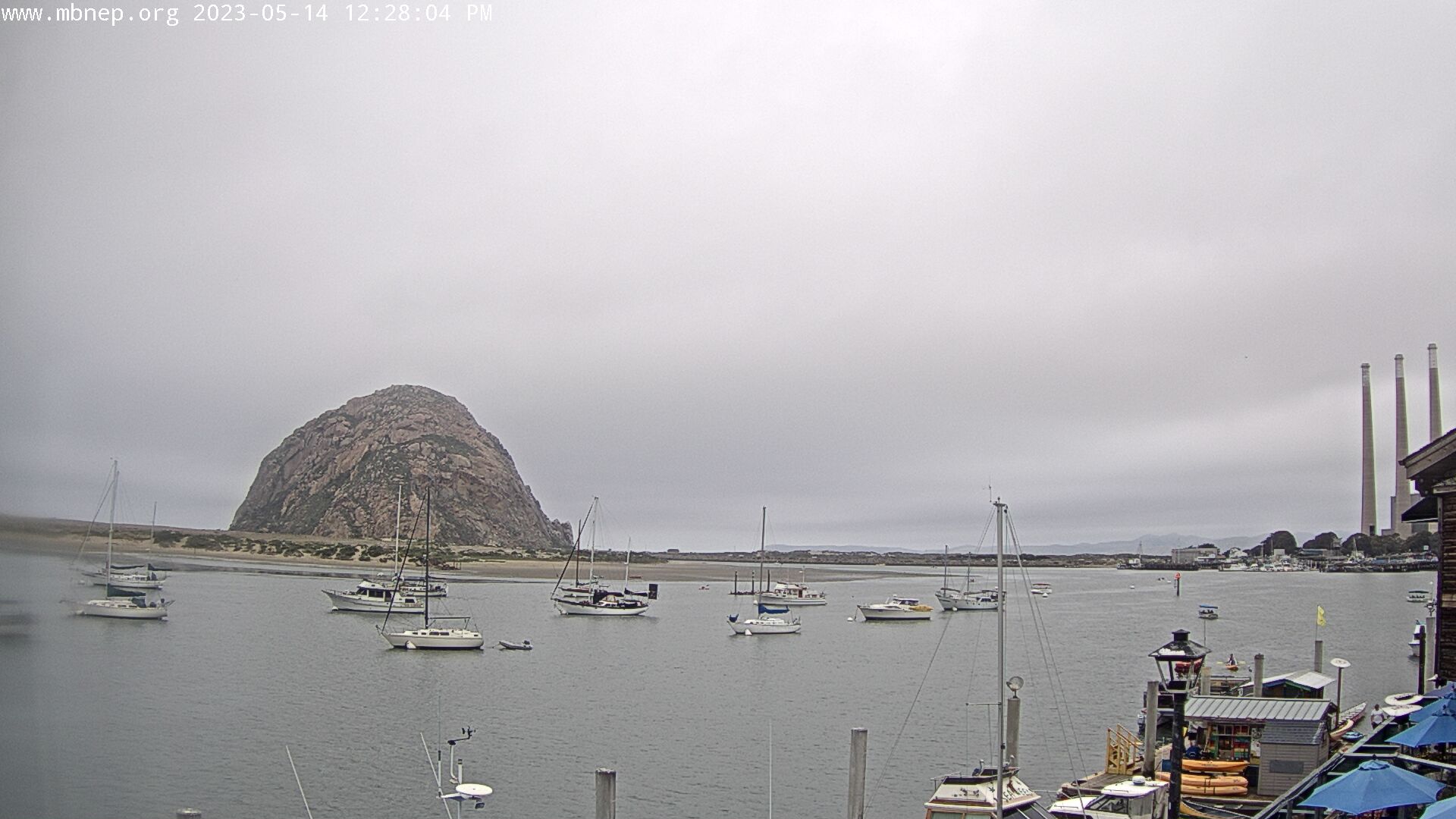
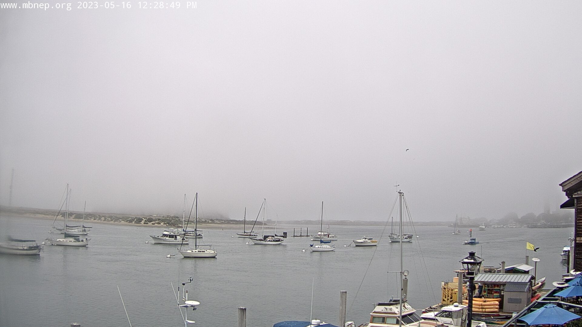
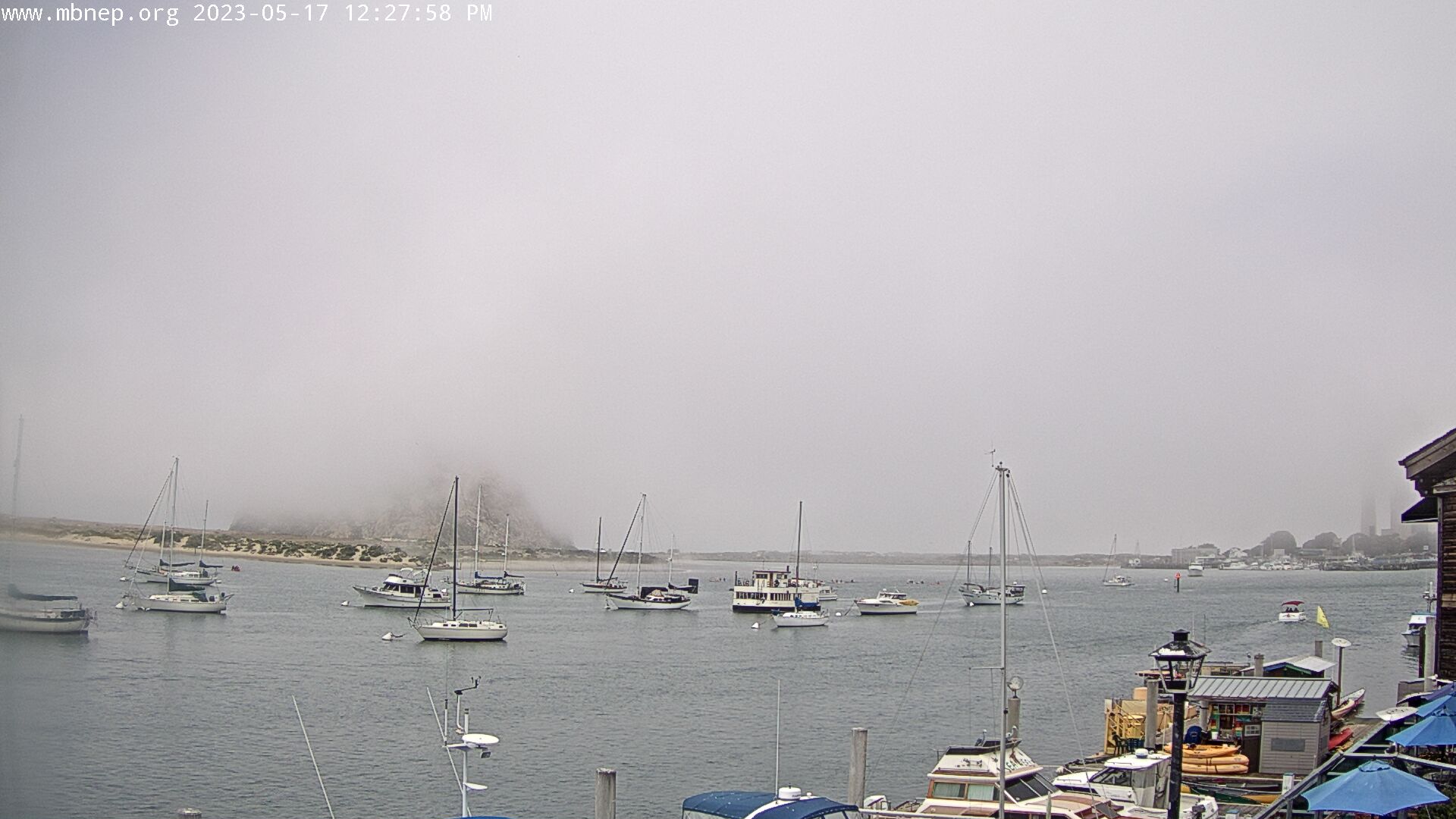
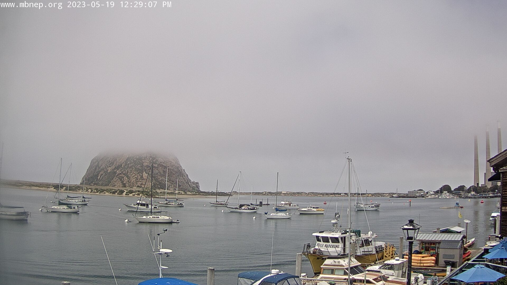
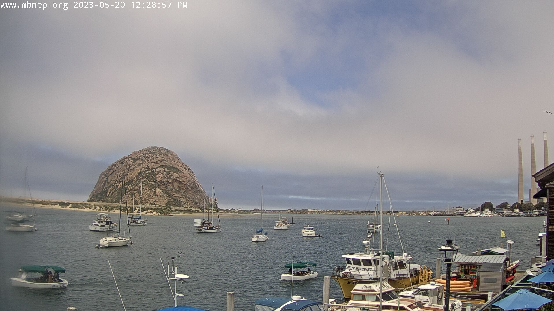
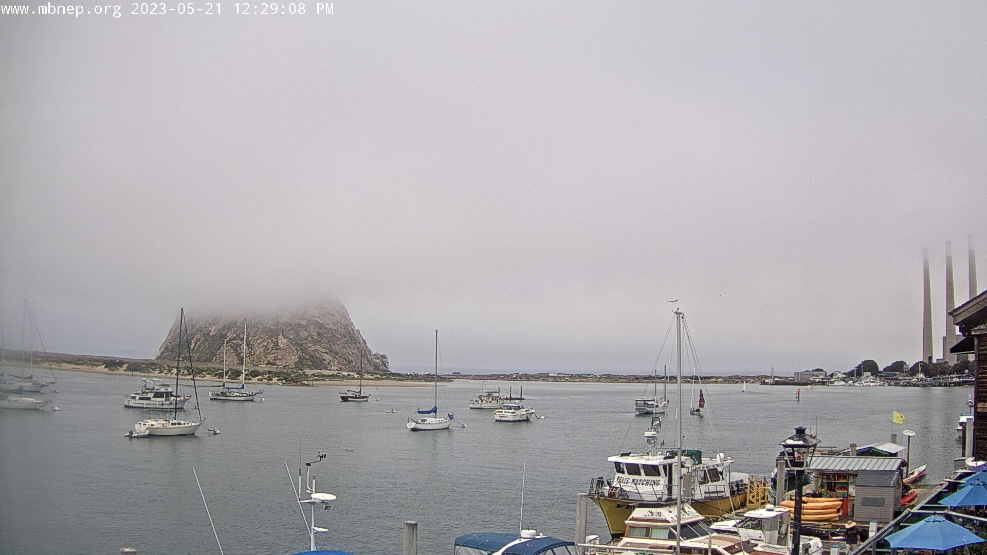
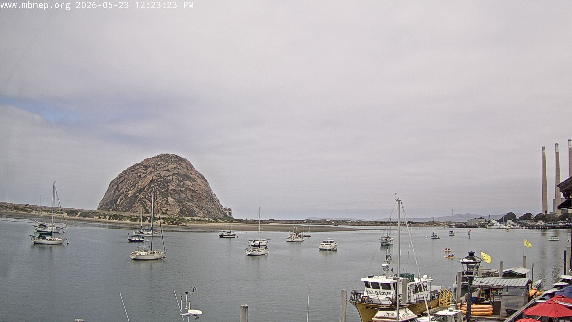
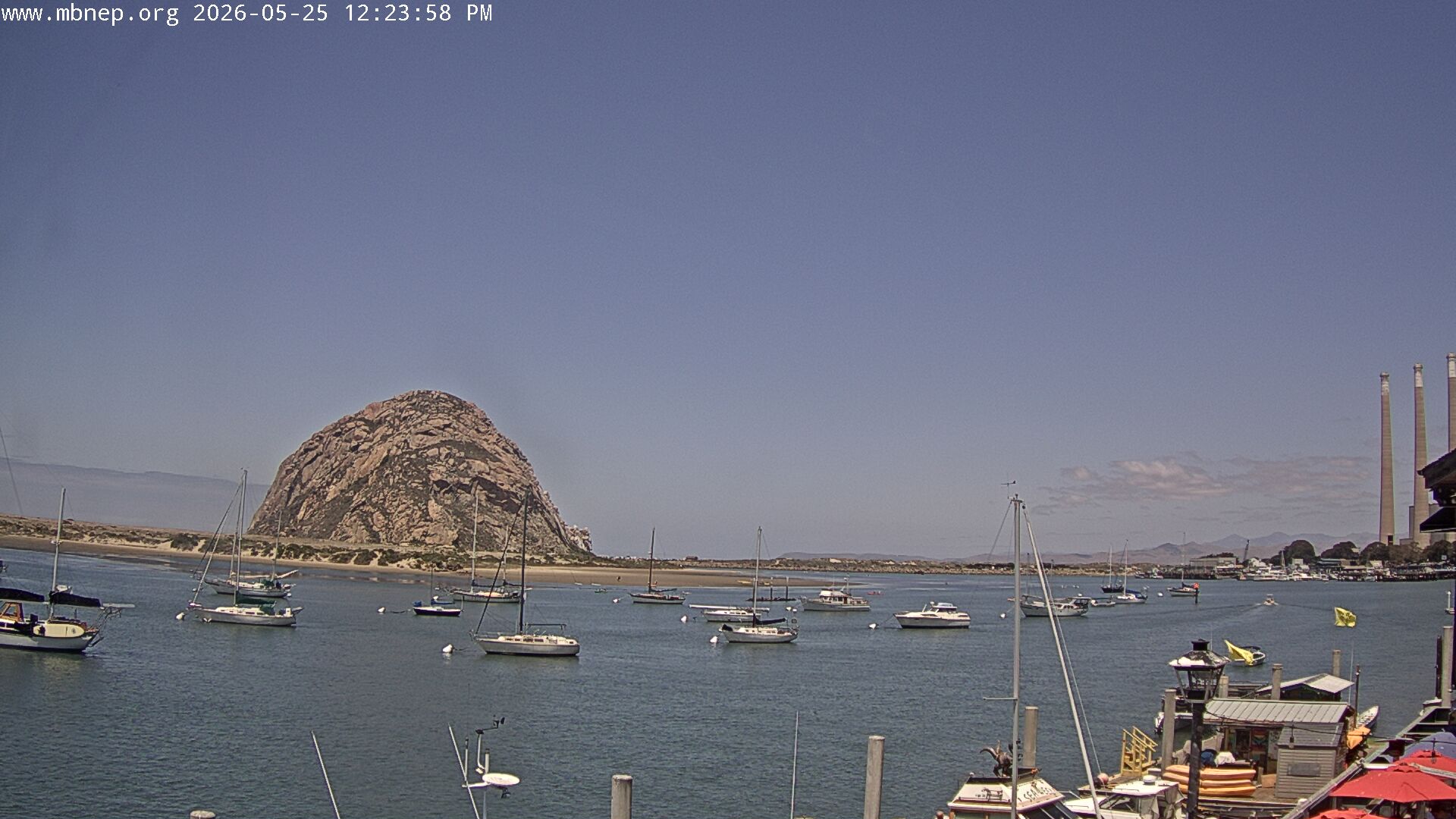
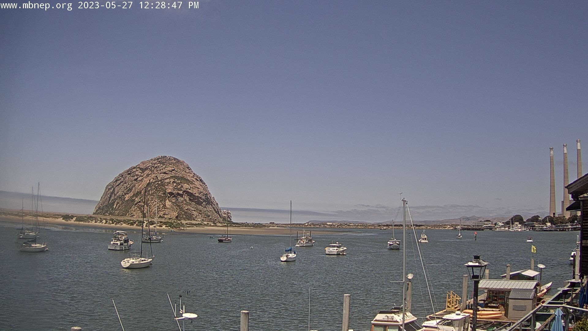
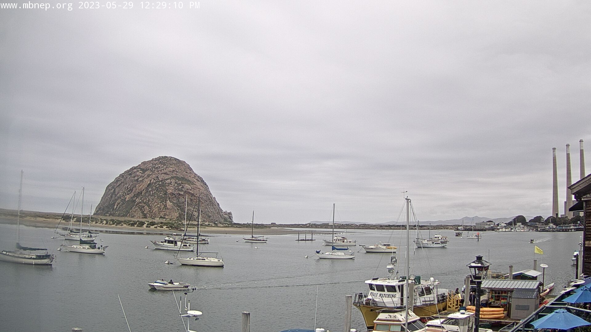
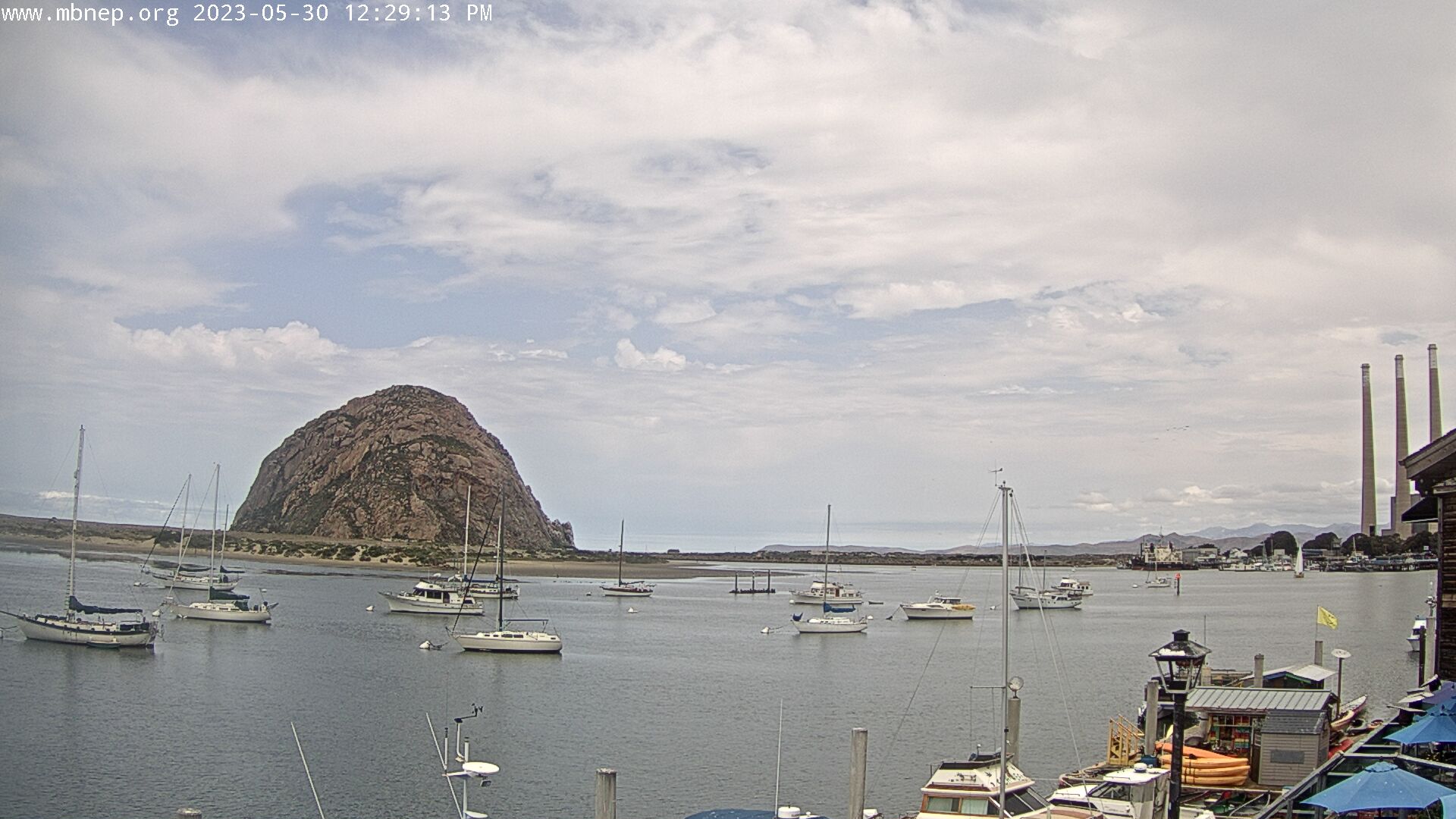
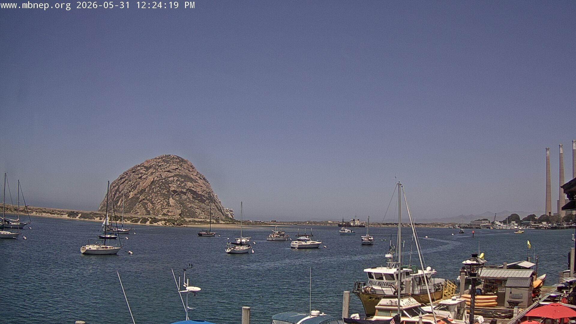
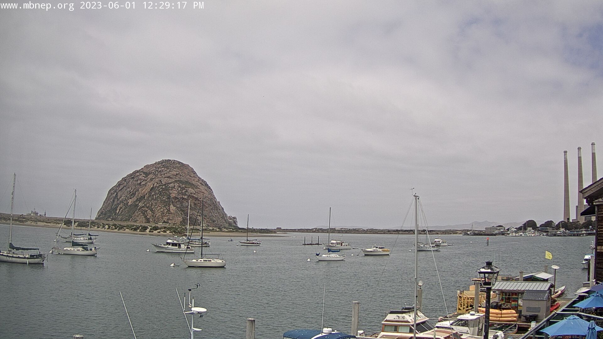
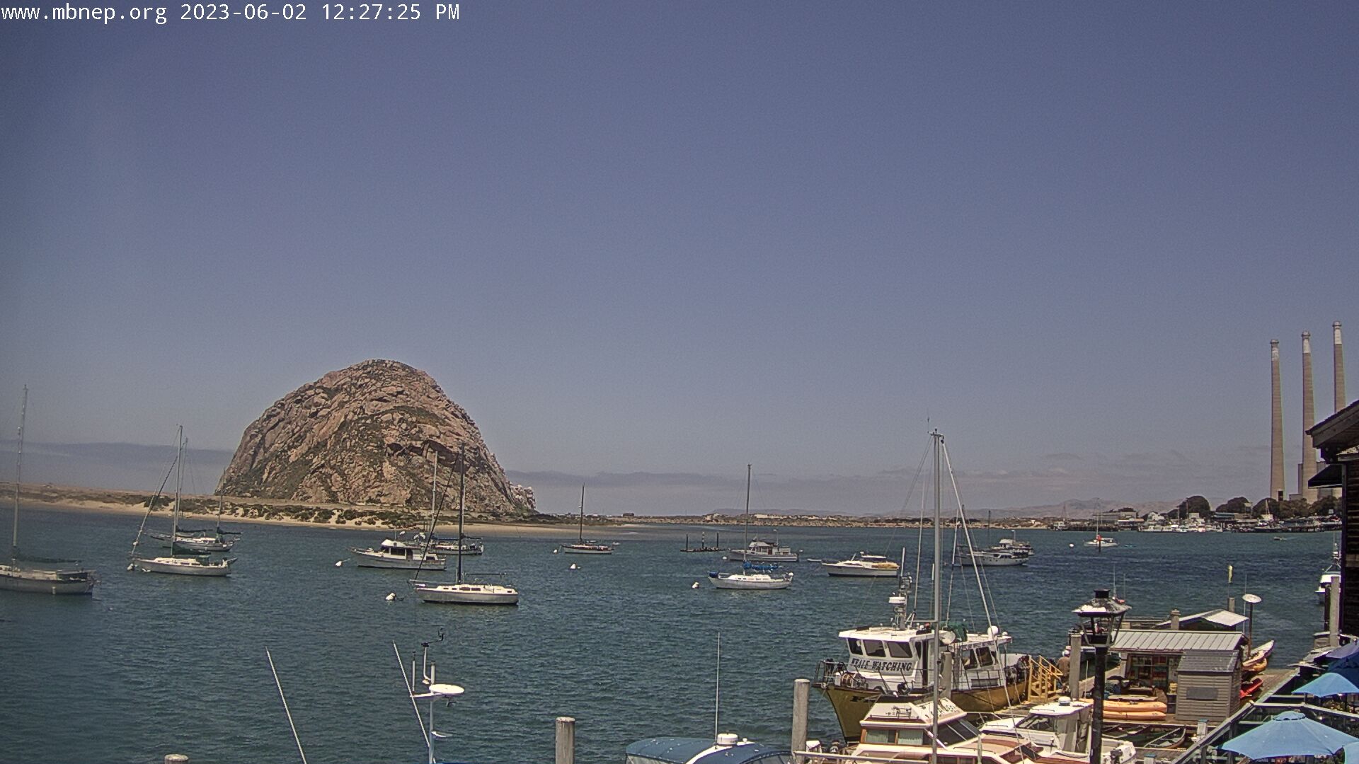
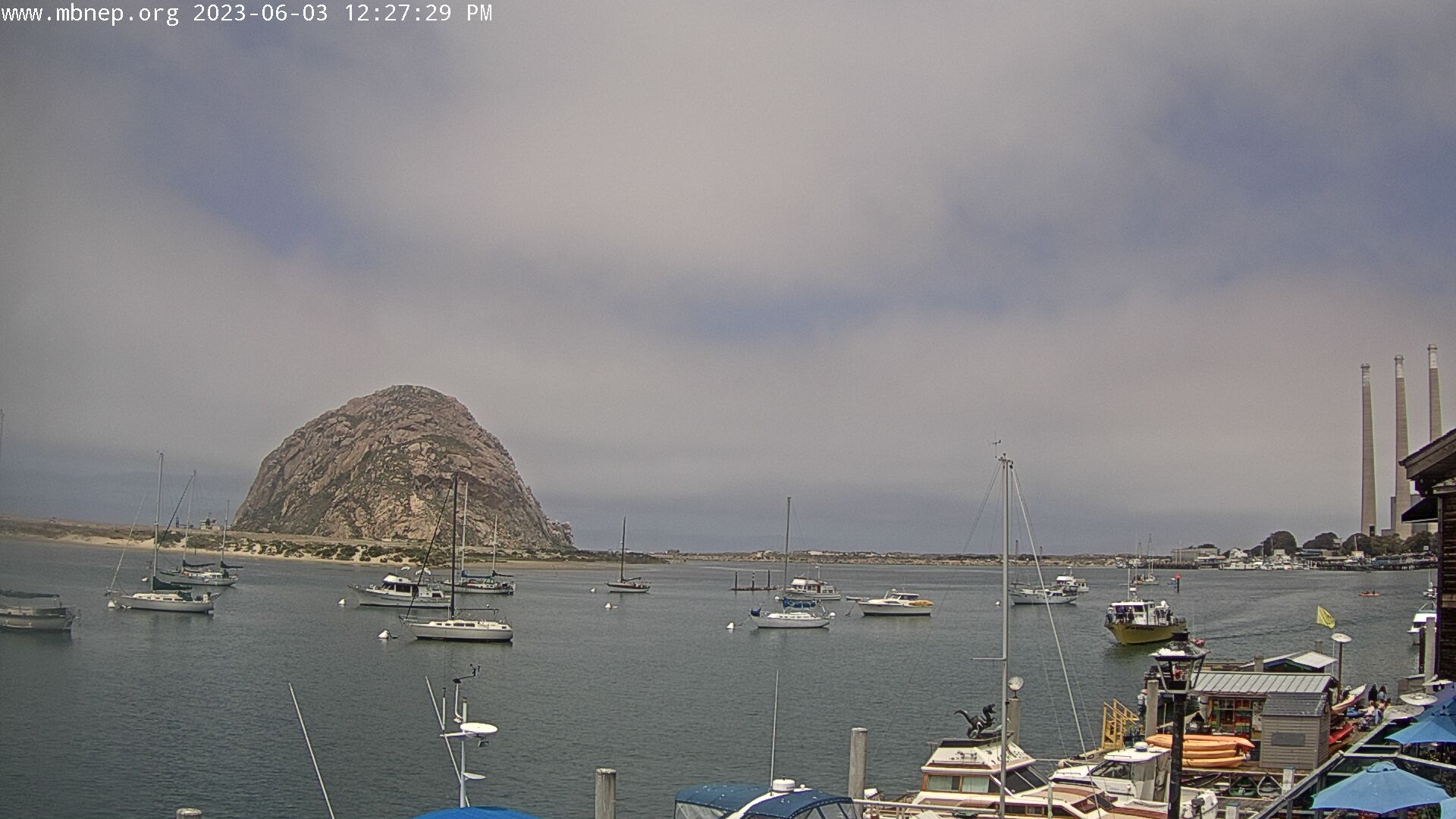
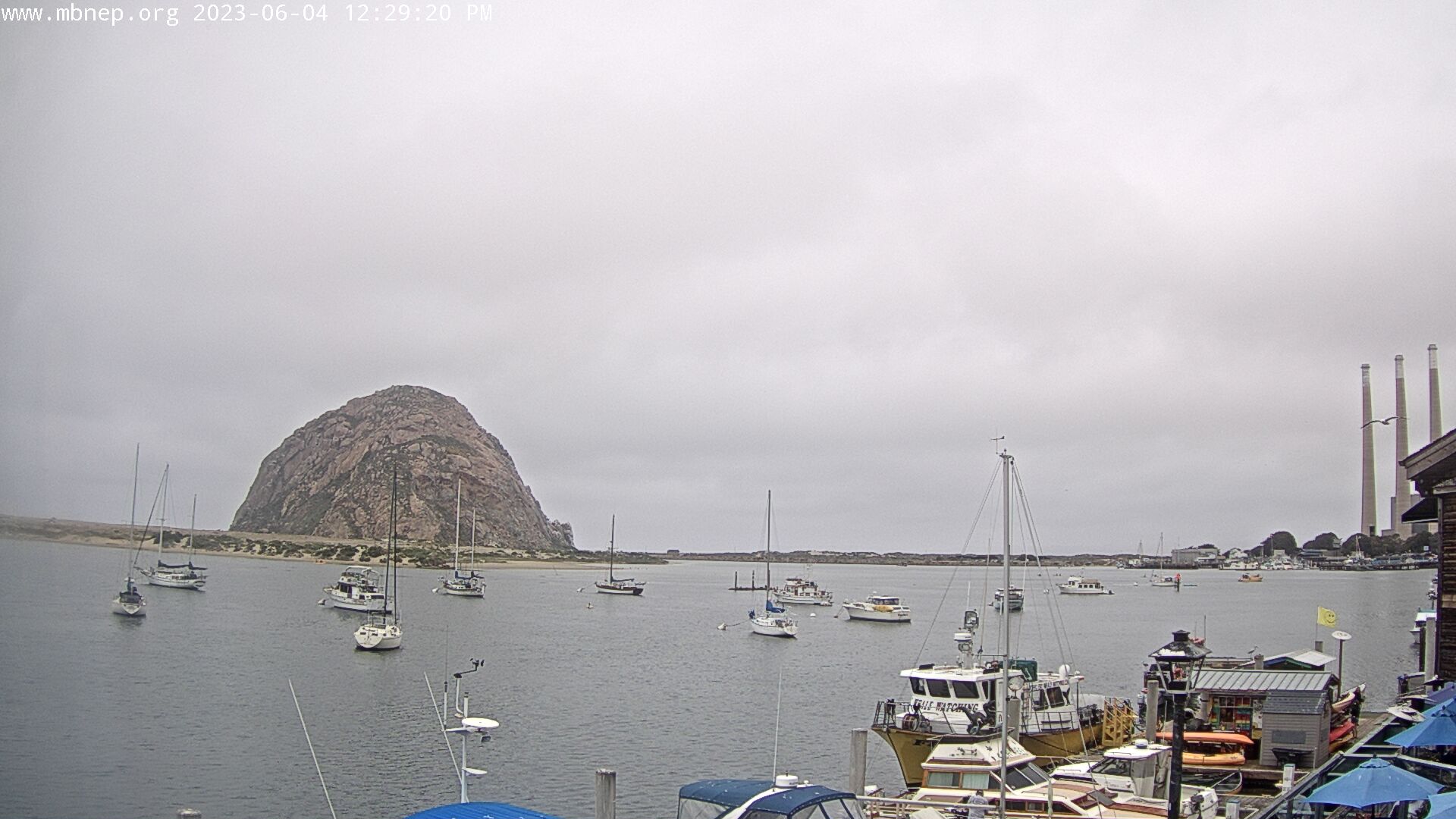
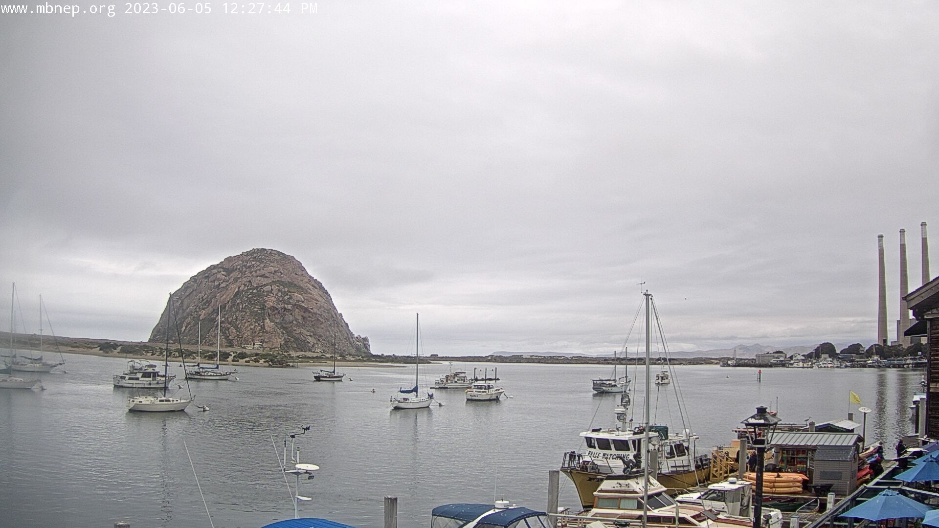
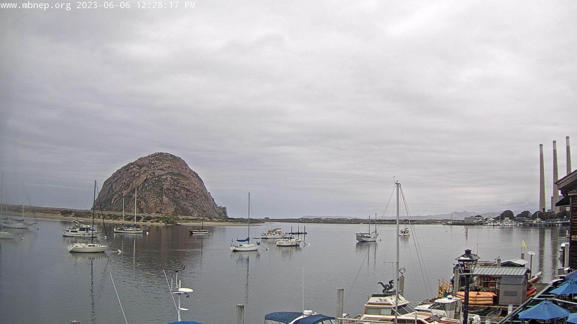
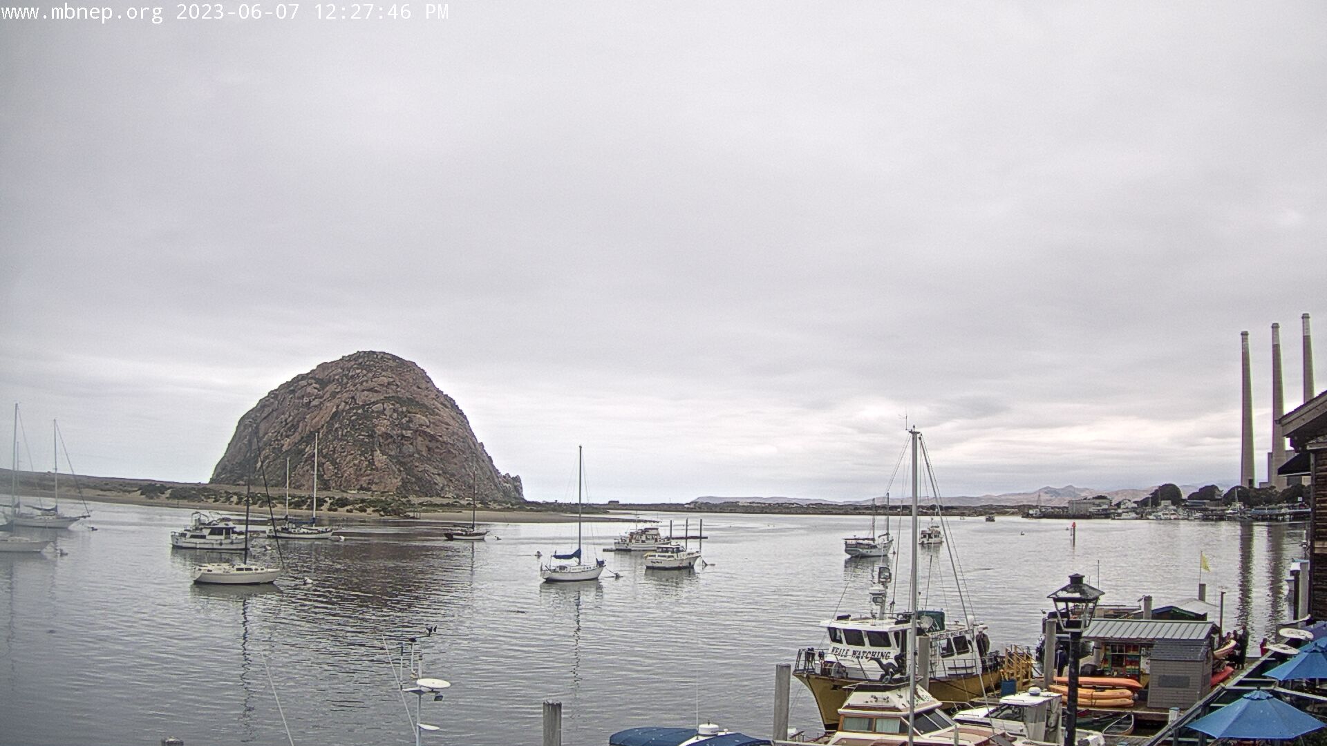
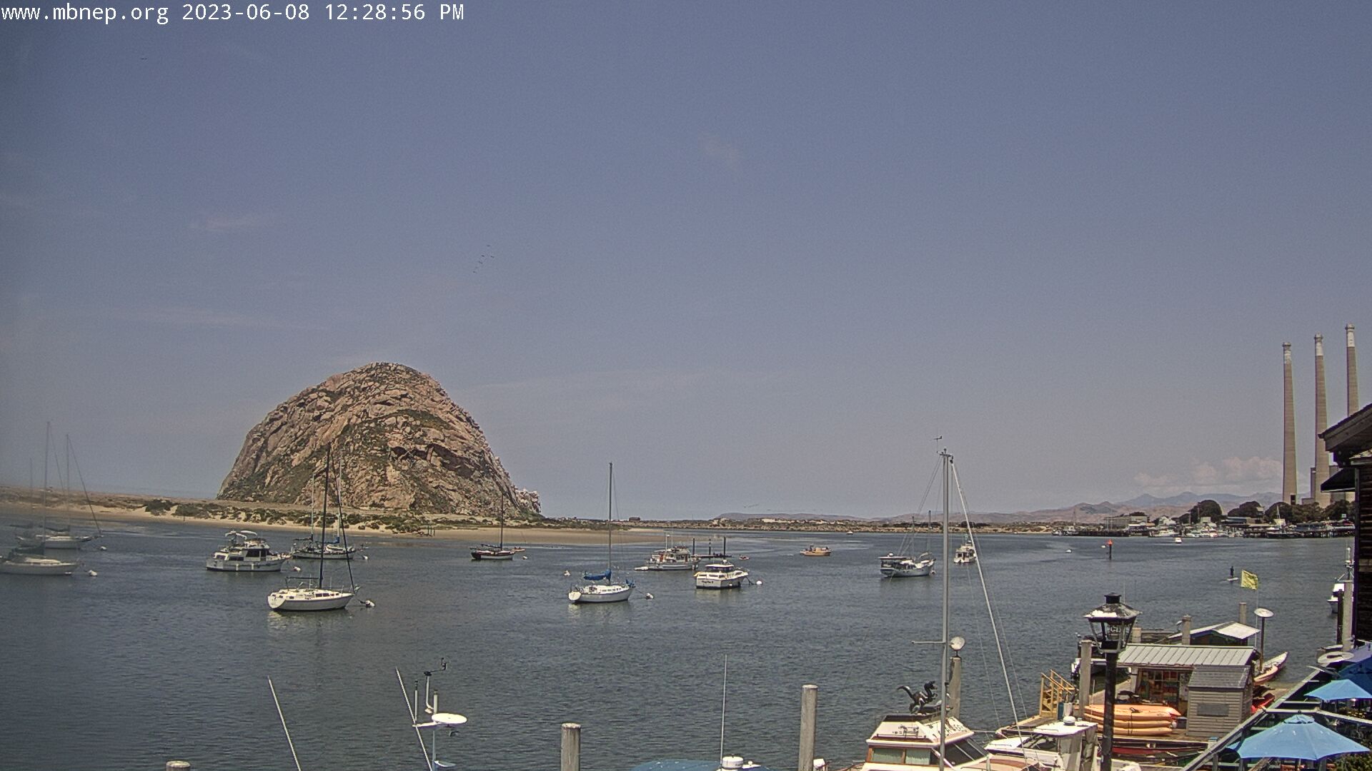
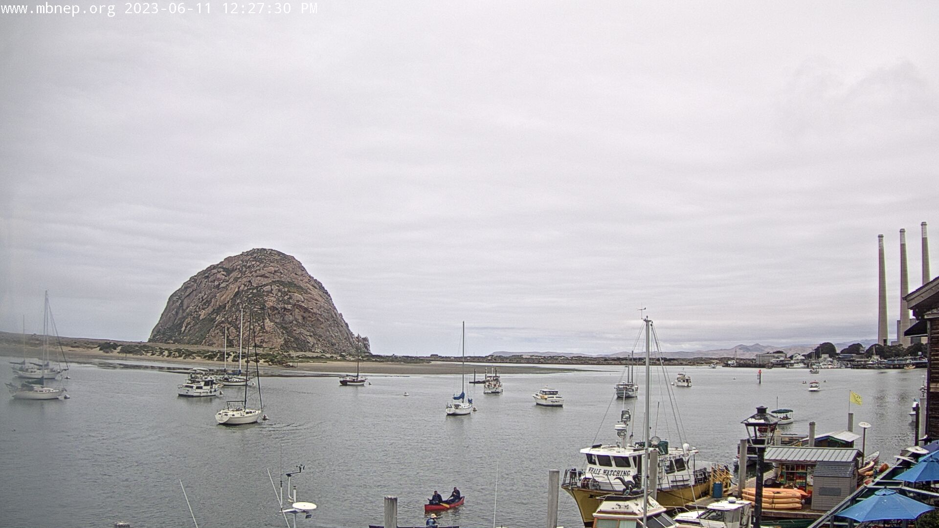
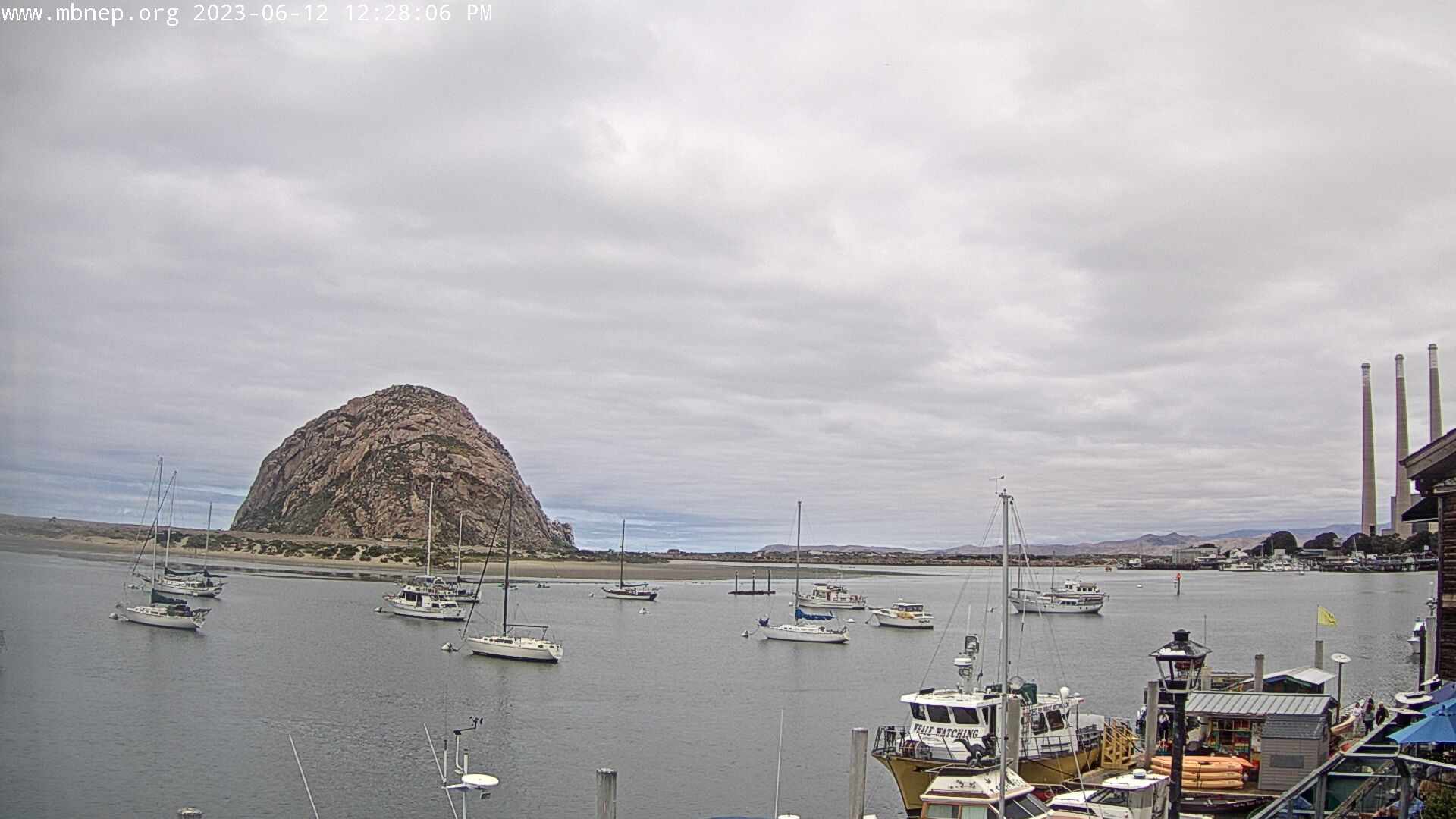
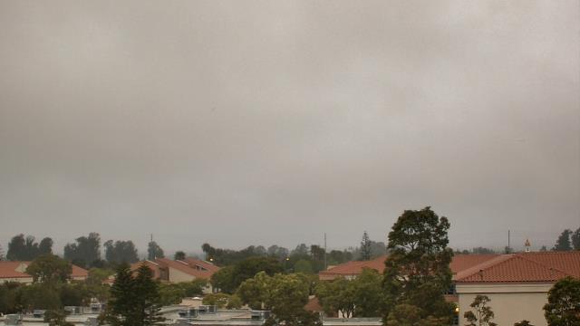
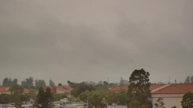
Morro Bay , California, USA - 70.5 miles from Asphalto (historical): Morro Bay Rock - A gorgeous view of Morro Bay Rock and the Morro Bay Harbor.
Operator: Morro Bay National Estuary Program
Operator: Morro Bay National Estuary Program


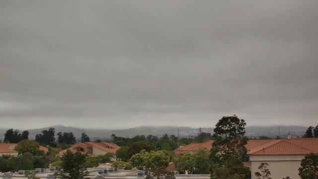
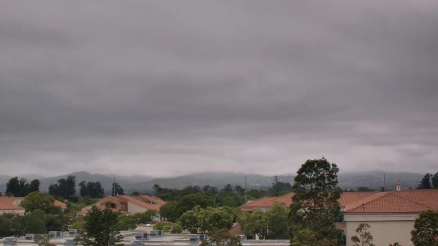
Oxnard, California, USA - 80.2 miles from Asphalto (historical): Oxnard School District - A webcam in Oxnard, California - camera location: Oxnard School District.
Operator: WeatherBug
Operator: WeatherBug


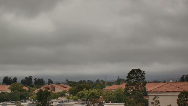


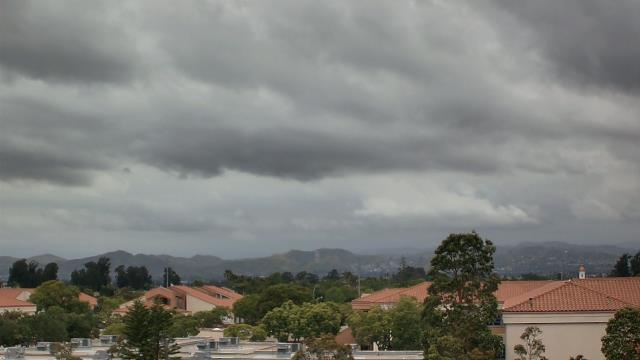

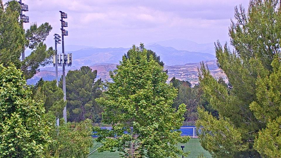
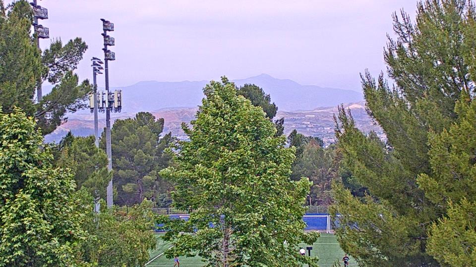
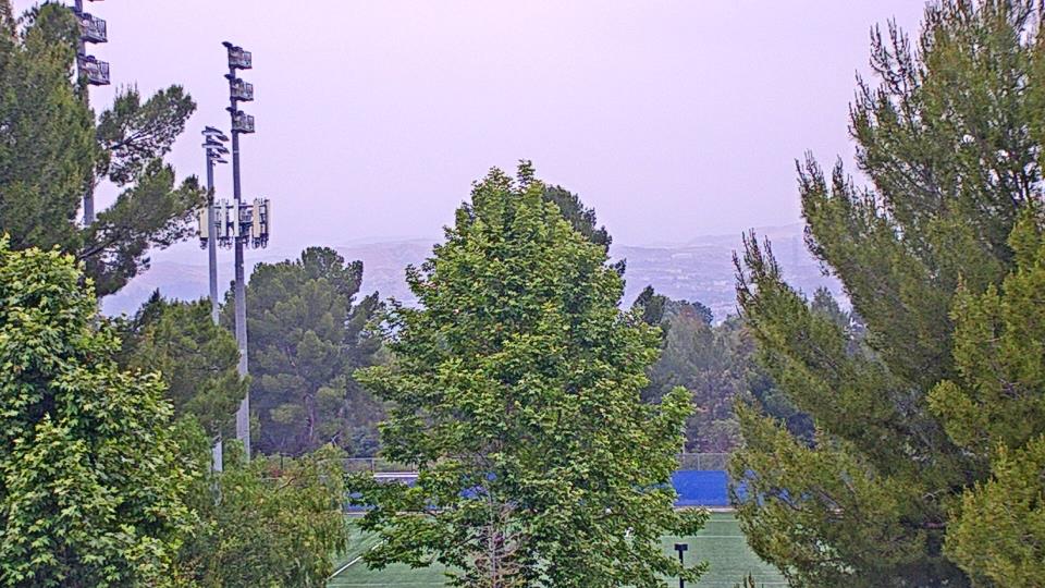
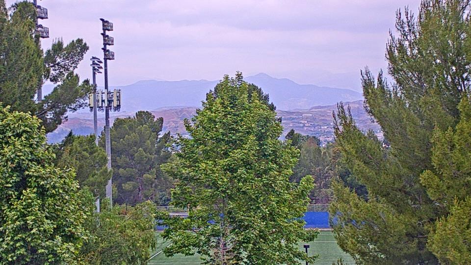
Saugus, California, USA - 86.1 miles from Asphalto (historical): Valencia-Santa Clarita View - A view of Valencia/Six Flags Magic Mountain/Steveson Ranch areas within Santa Clarita from Saugus, CA.
Operator: Santa Clarita Cam
Operator: Santa Clarita Cam
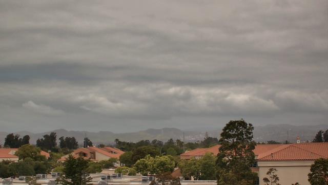
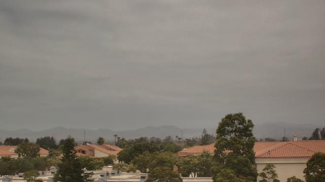
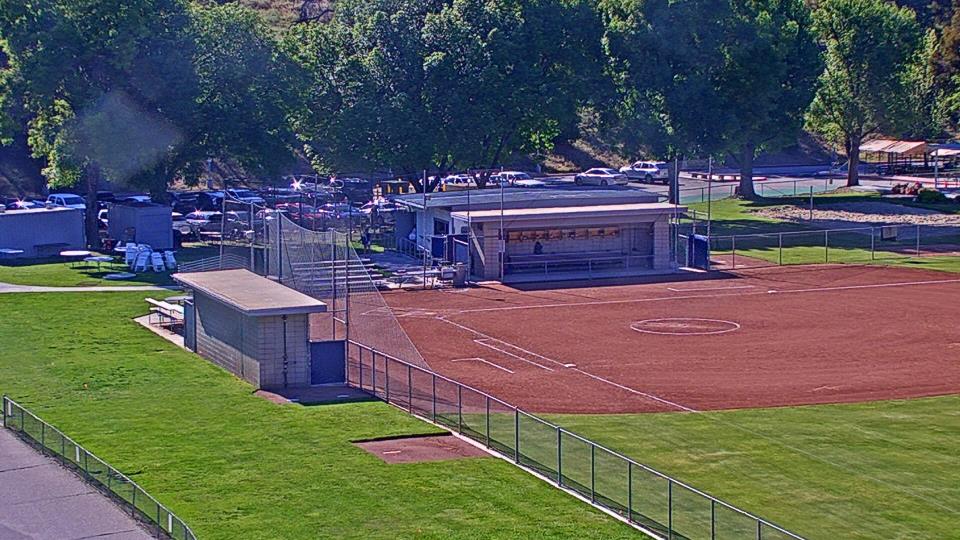
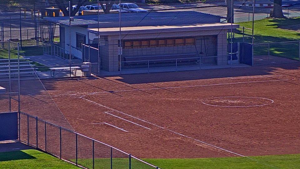
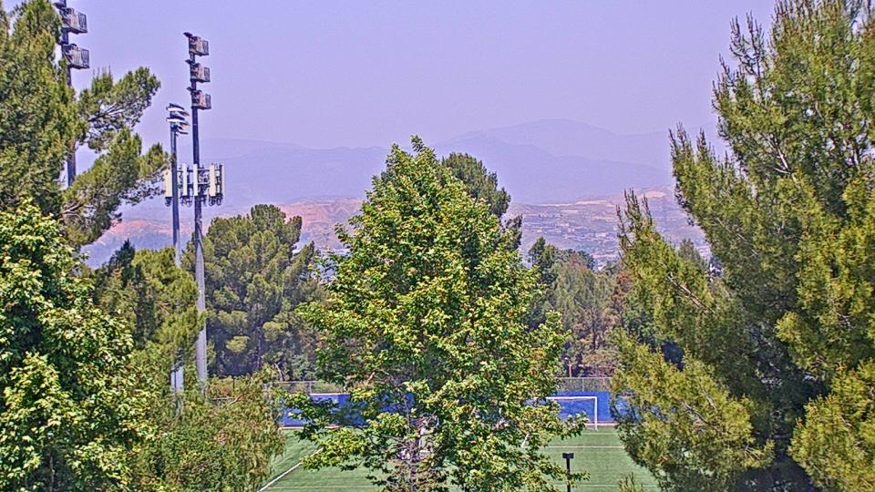
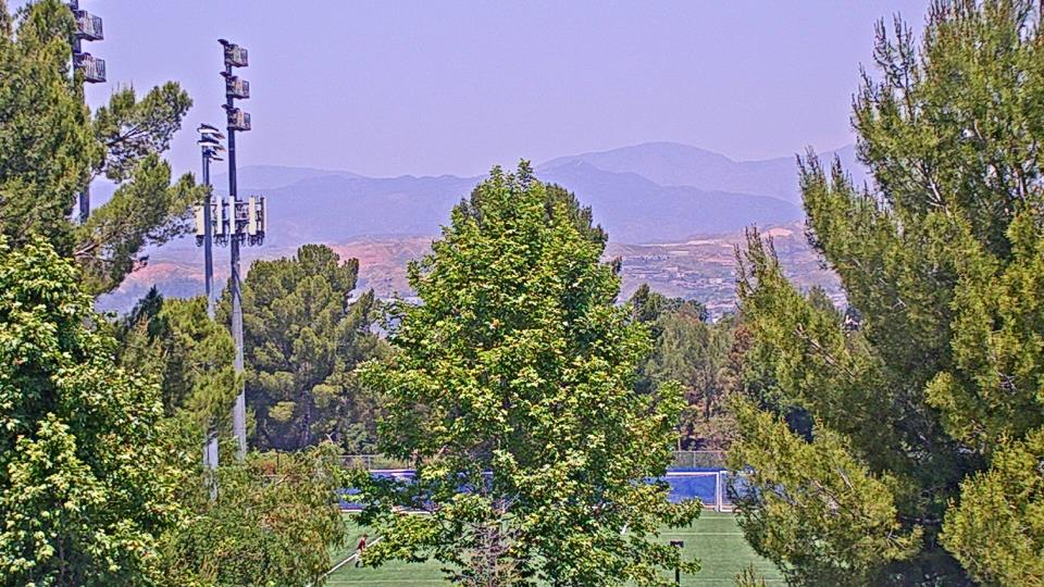
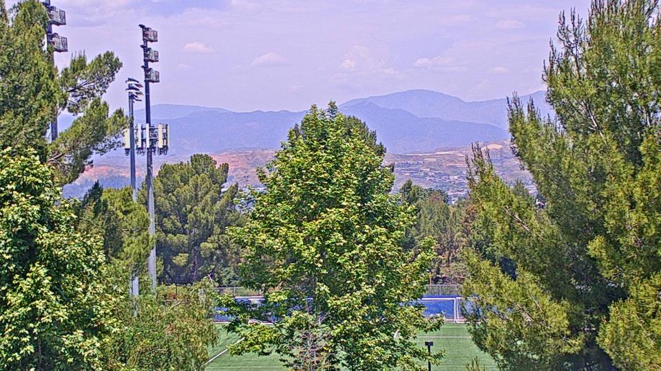
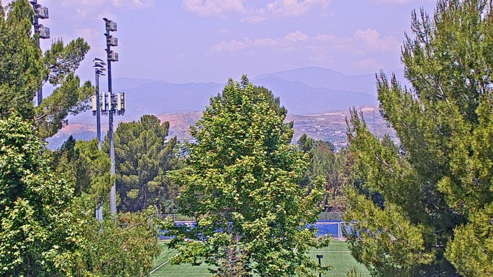
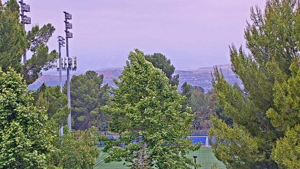
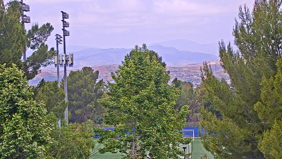
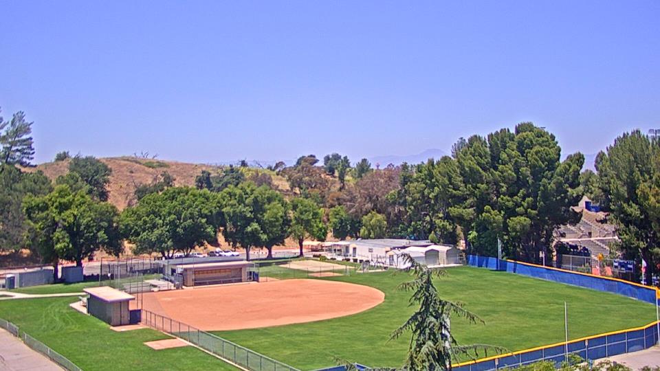
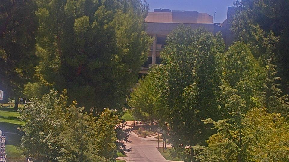
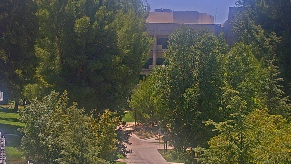
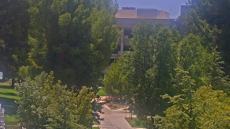
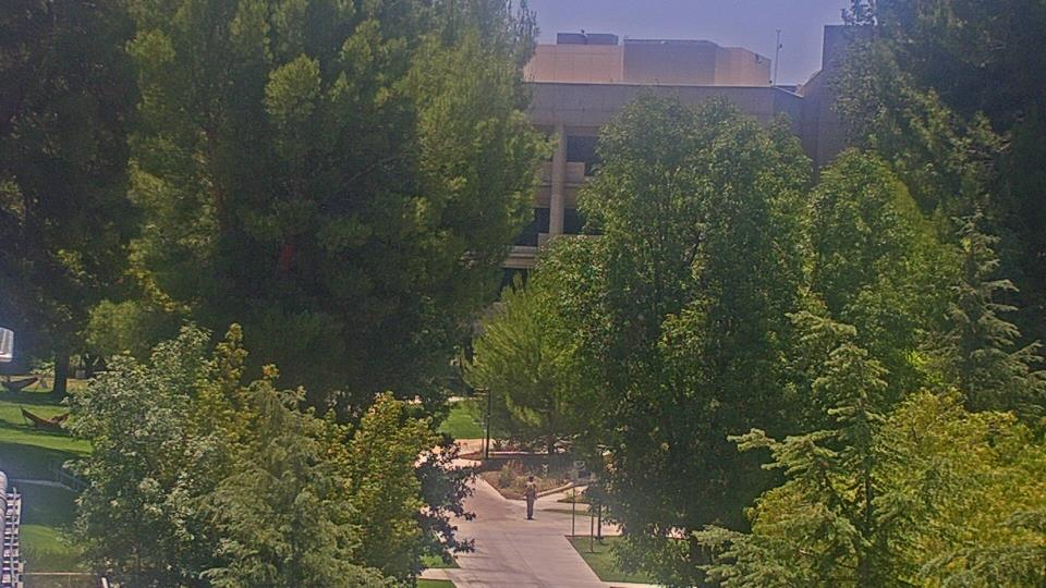
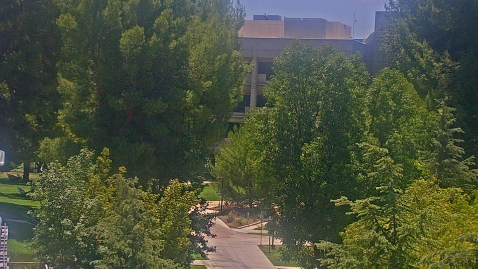
Valencia, California, USA - 86.3 miles from Asphalto (historical): College of the Canyons - Webcam and current weather data - camera location: College of the Canyons.
Operator: WeatherBug
Operator: WeatherBug
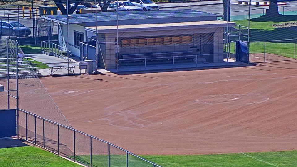
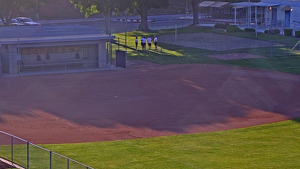


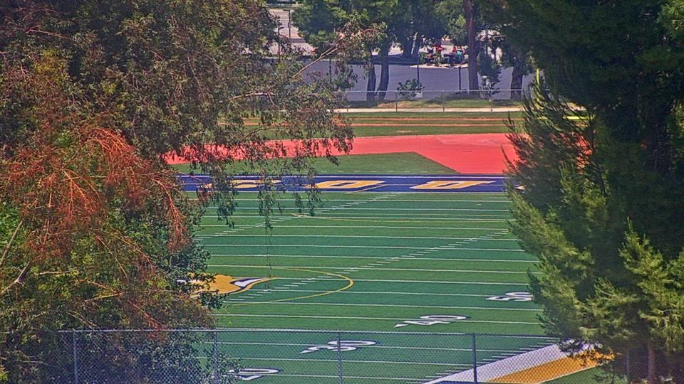

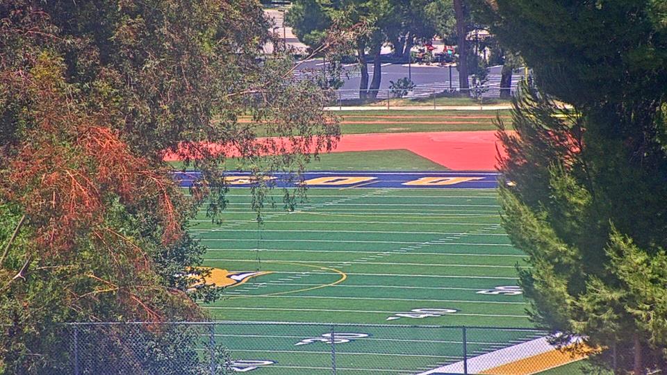
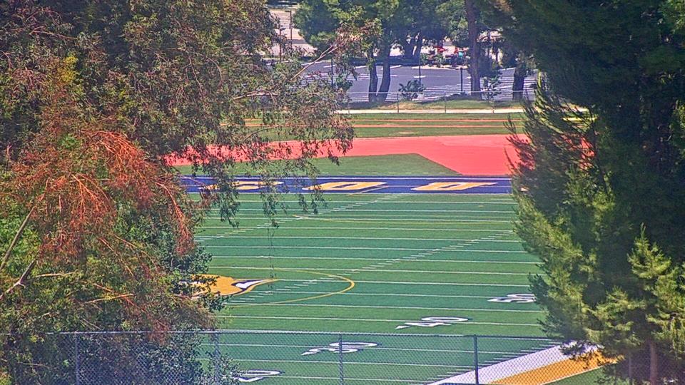
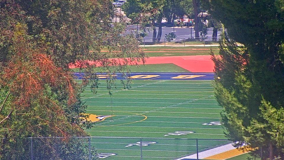
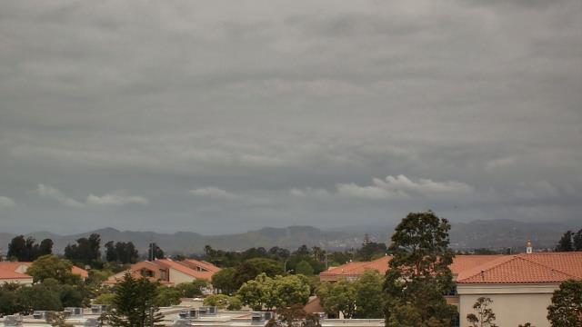
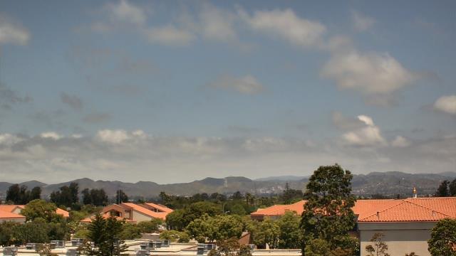
Canoga Park, California, USA - 95.2 miles from Asphalto (historical): Canoga Park High School - Webcam and current weather data - camera location: Canoga Park High School.
Operator: WeatherBug
Operator: WeatherBug


Topanga Beach, California, USA - 104.9 miles from Asphalto (historical): Live Surf Camera - Live streaming Surf camera for Topanga Point.
Operator: SwellMagnet.com
Operator: SwellMagnet.com

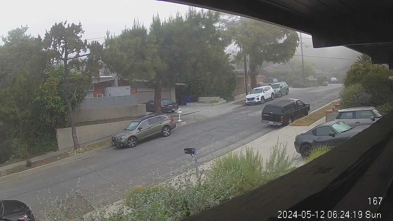
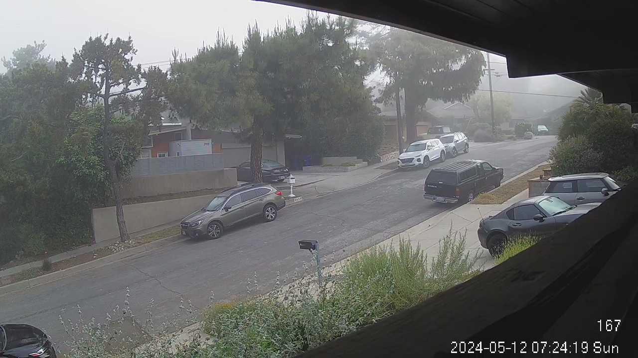
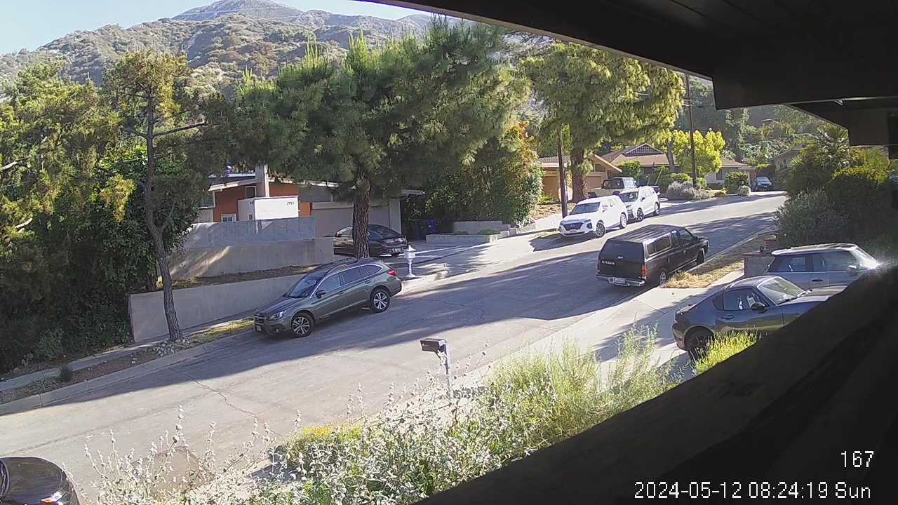
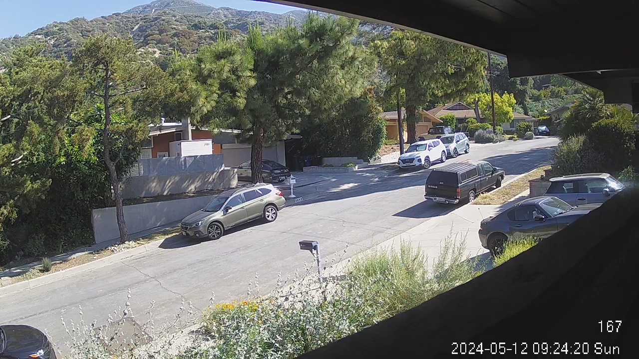
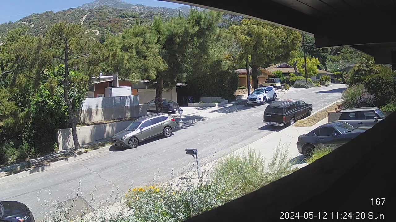
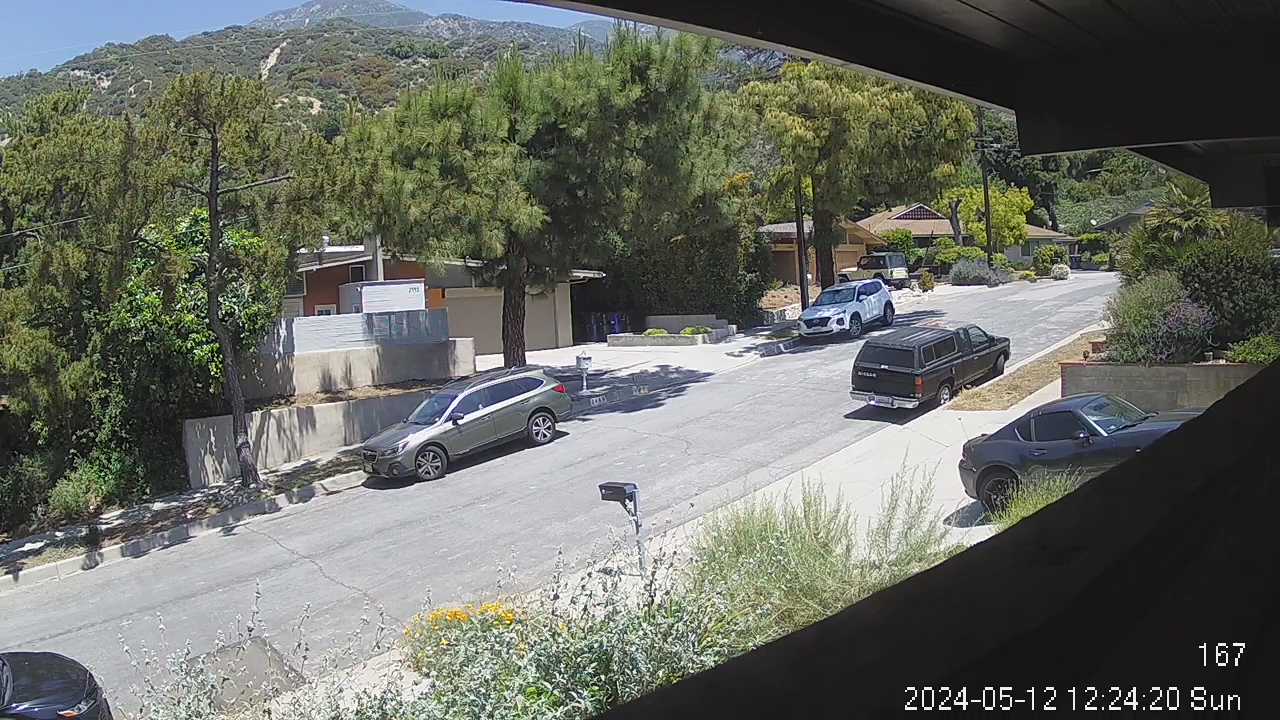
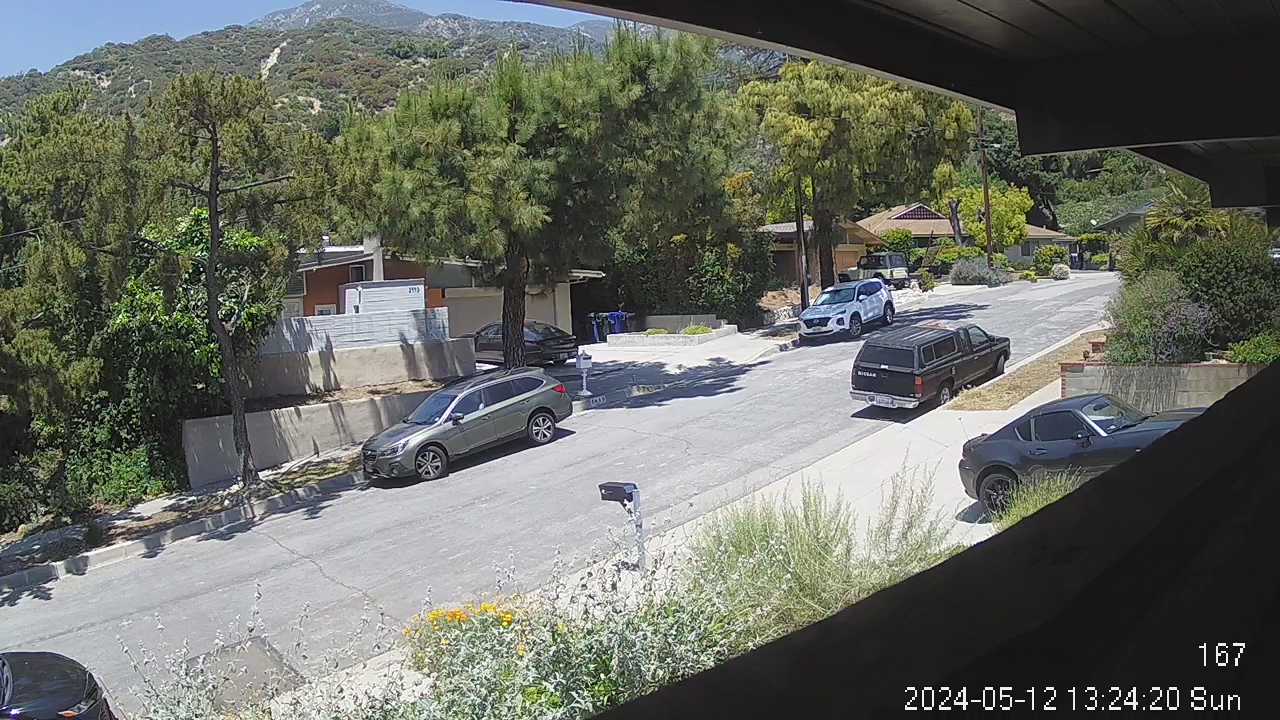
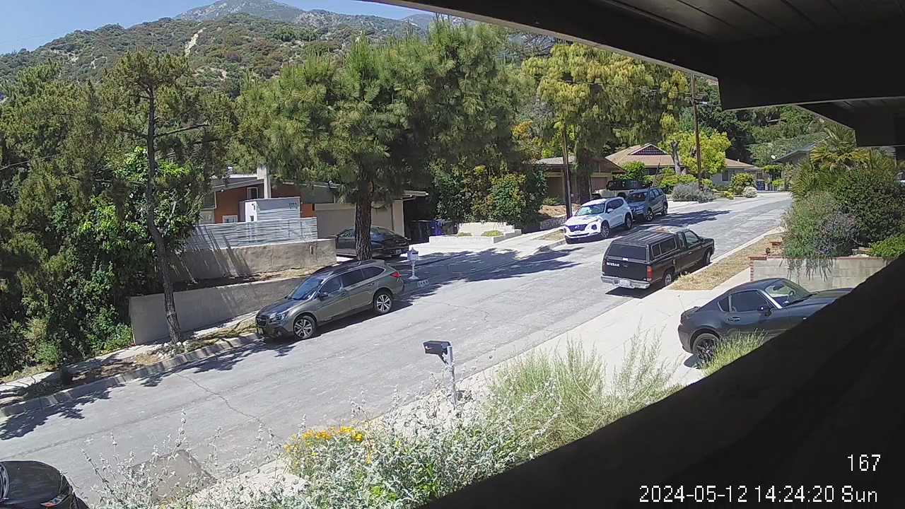
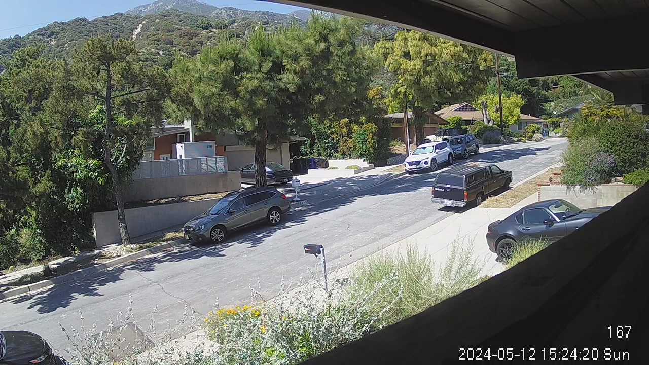
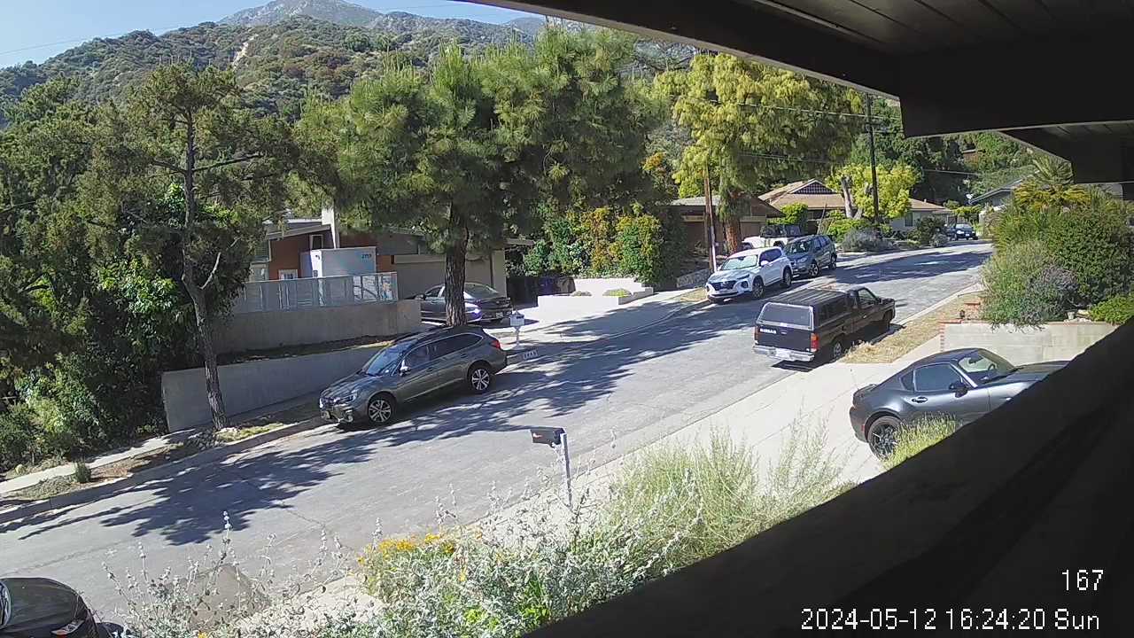
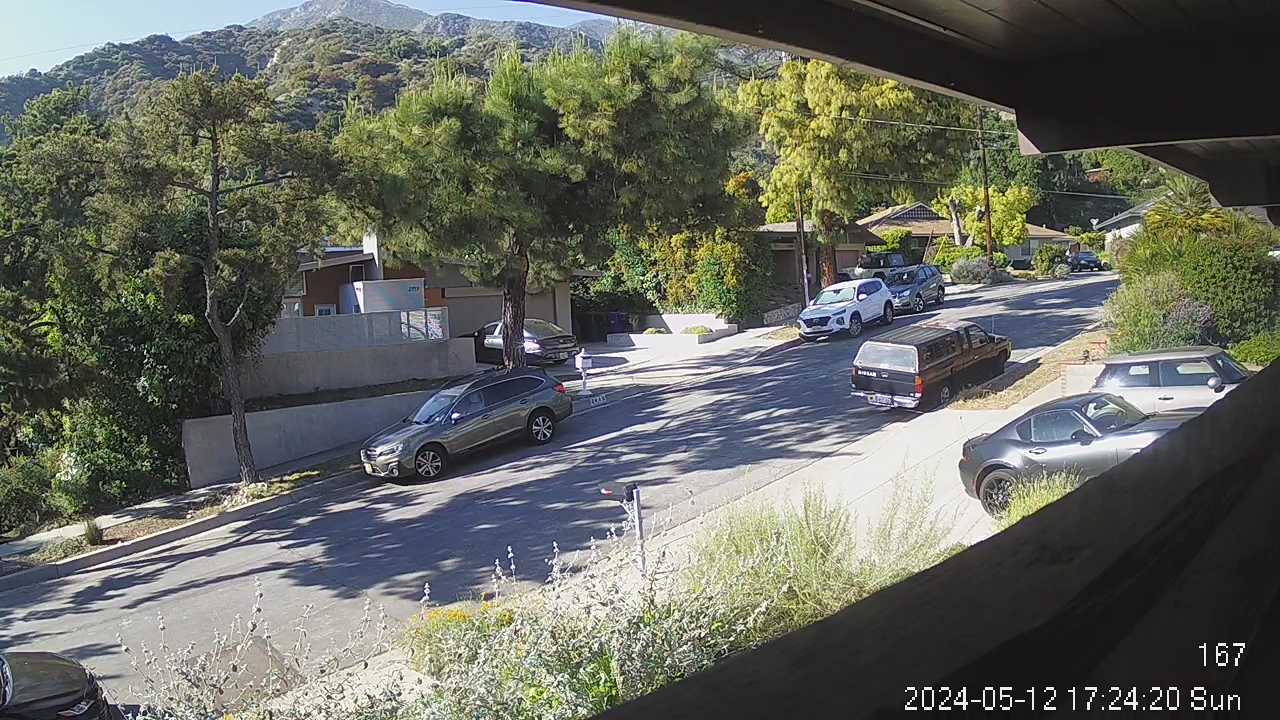
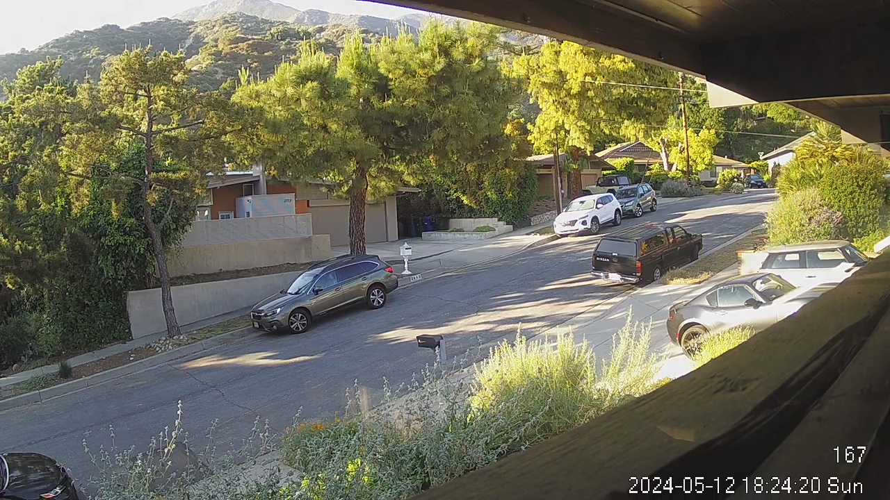
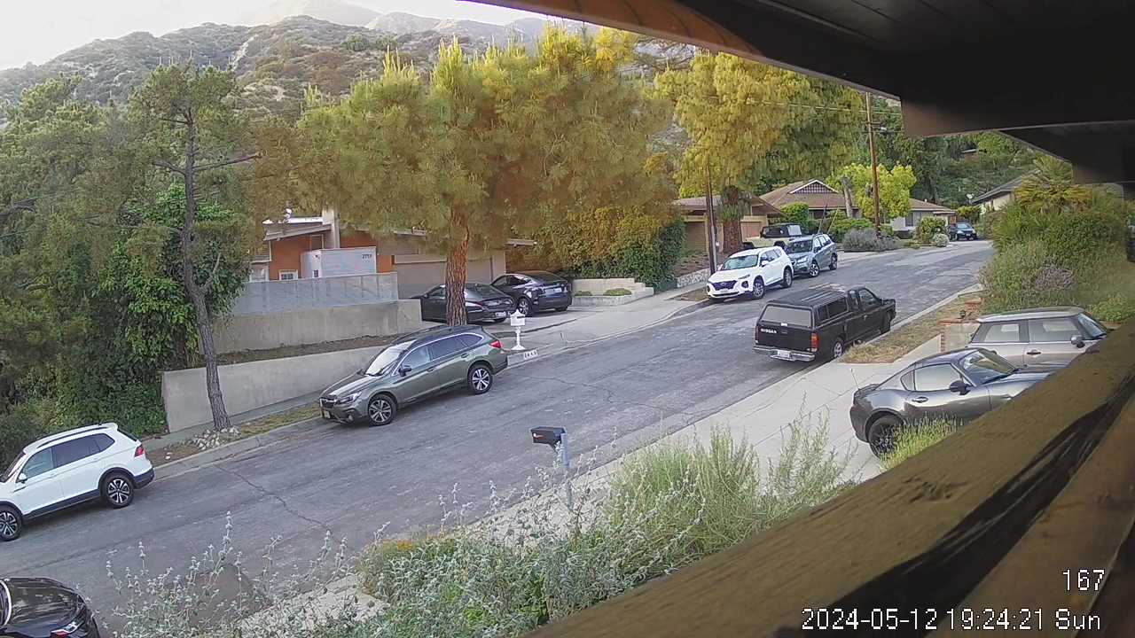
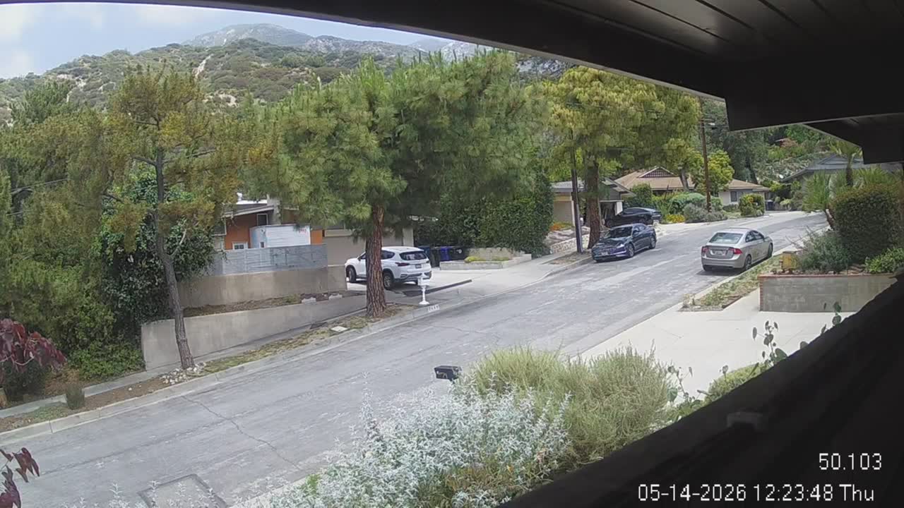
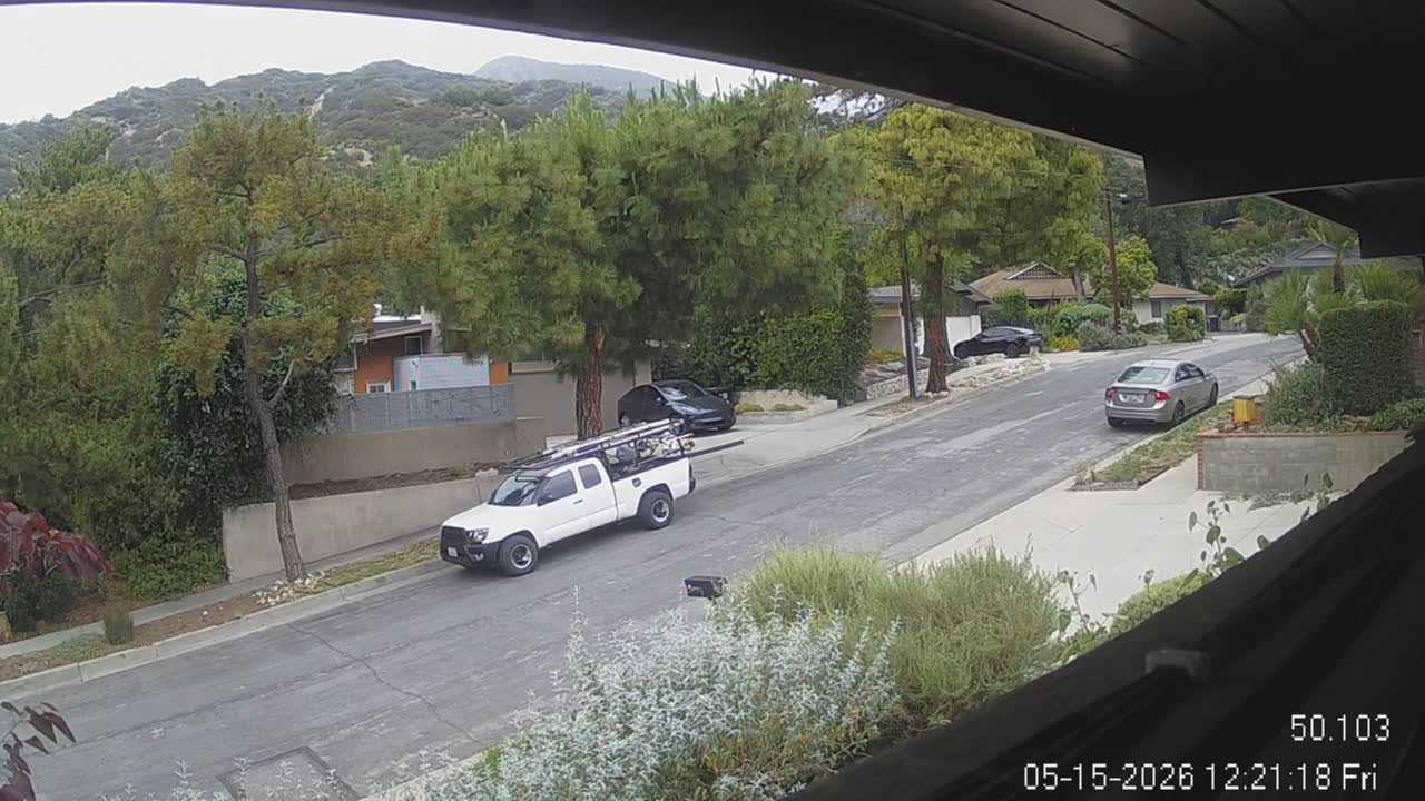
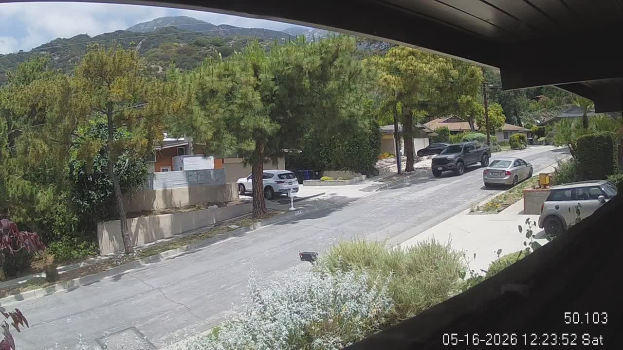
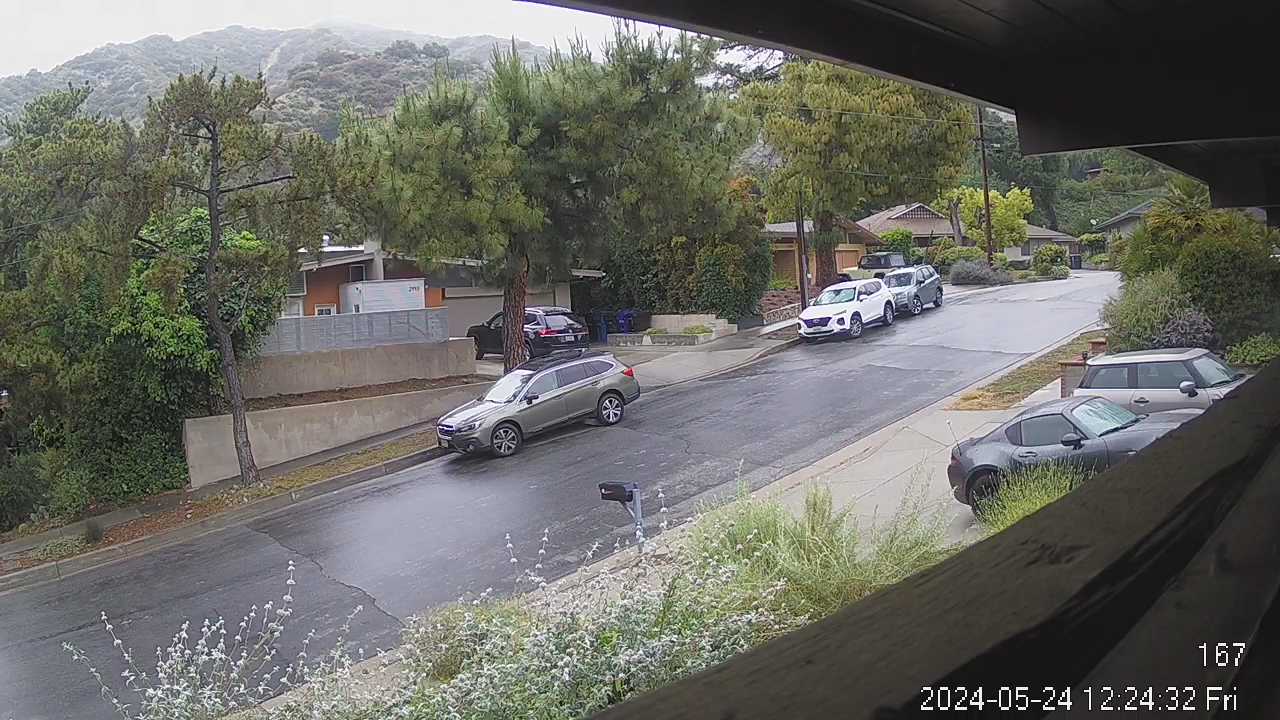
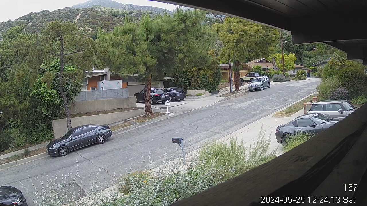
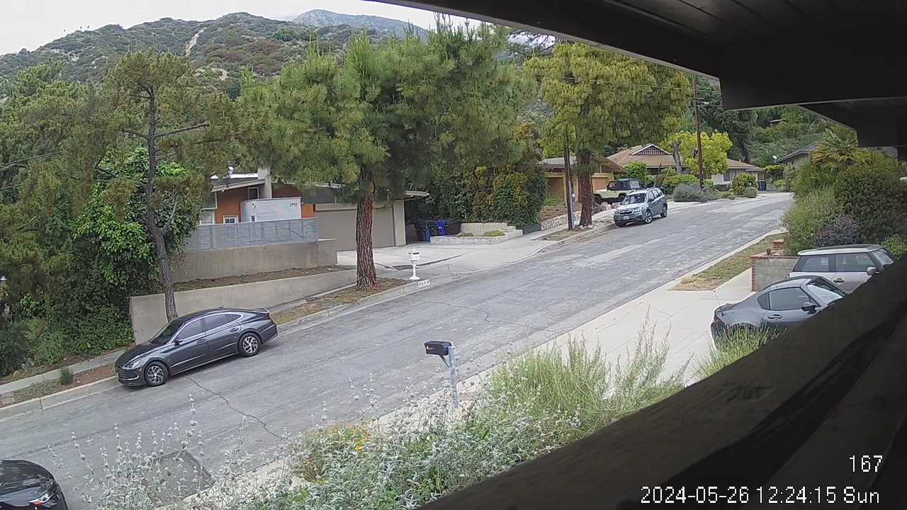
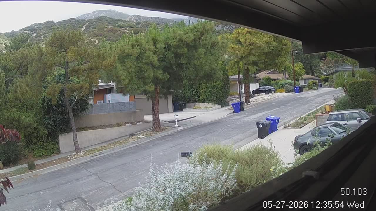
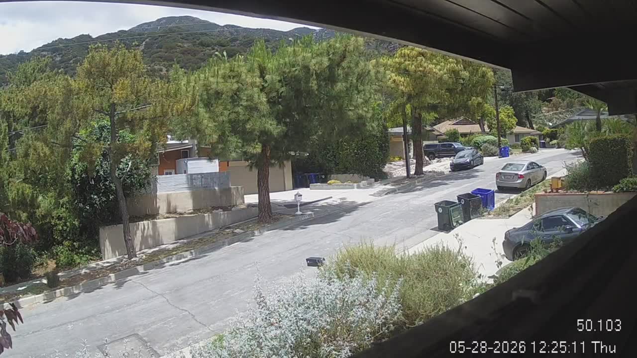
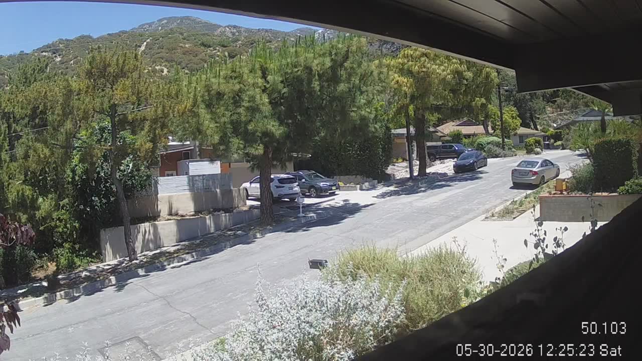
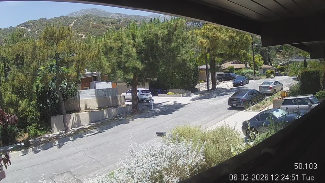
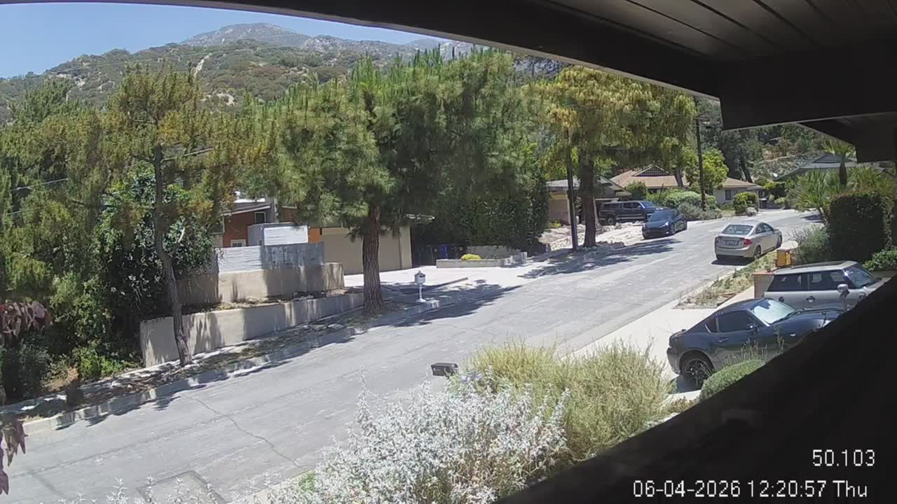
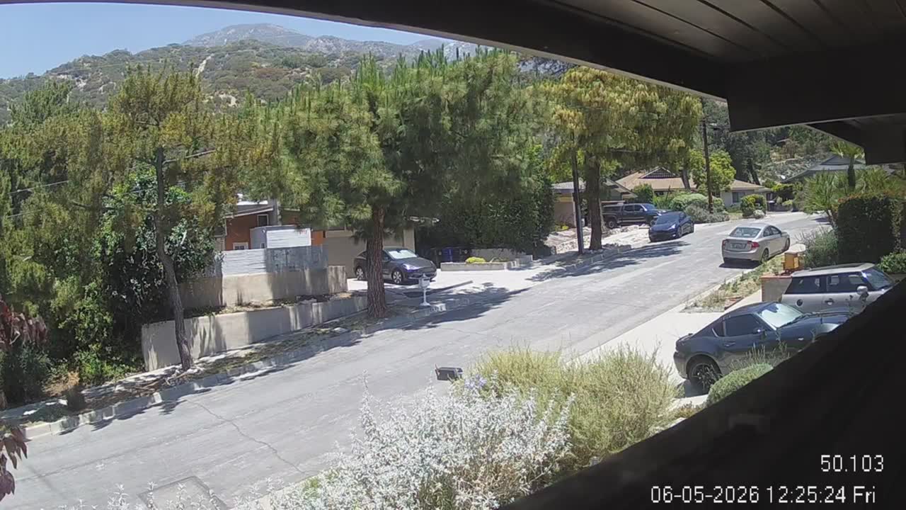
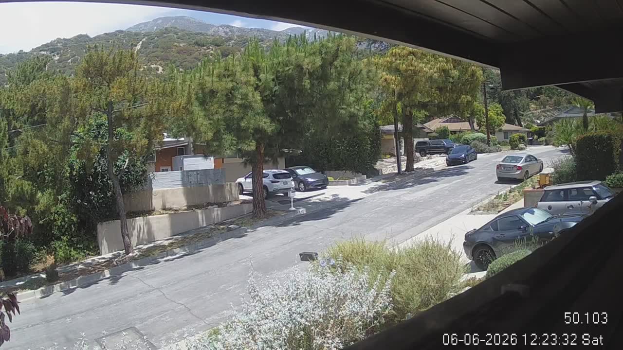
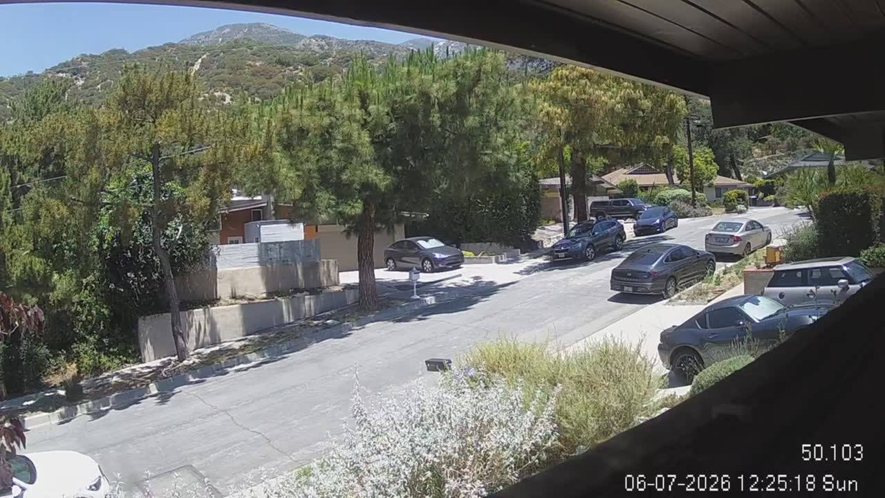
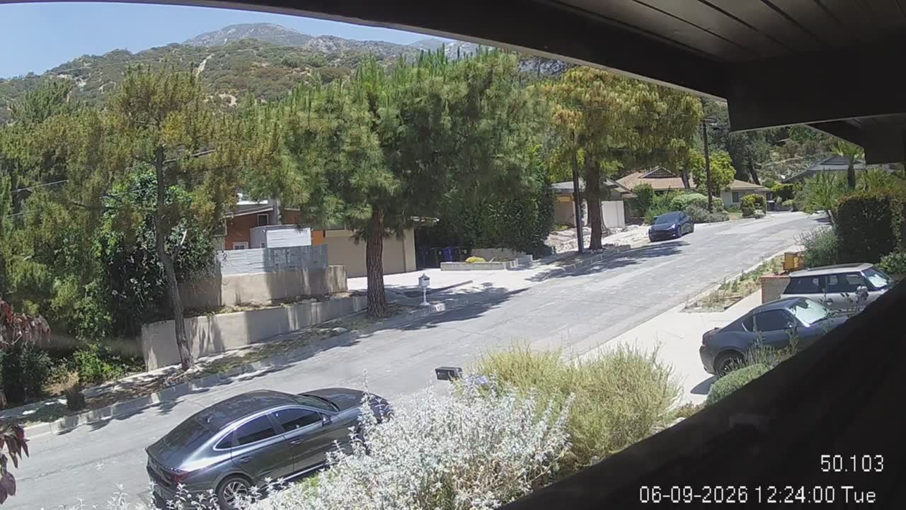
La Crescenta, California, USA - 107.4 miles from Asphalto (historical): San Gabriel Mountains - Looking North towards the San Gabriel Mountains from the operator's backyard.
Operator: chuckvideo.com
Operator: chuckvideo.com


Santa Monica, California, USA - 109.6 miles from Asphalto (historical): Santa Monica Beach - This live streaming surf camera covers the best surf spot in Santa Monica, CA.
Operator: SwellMagnet.com
Operator: SwellMagnet.com
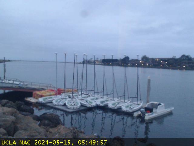
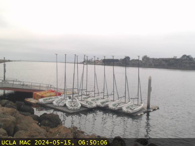
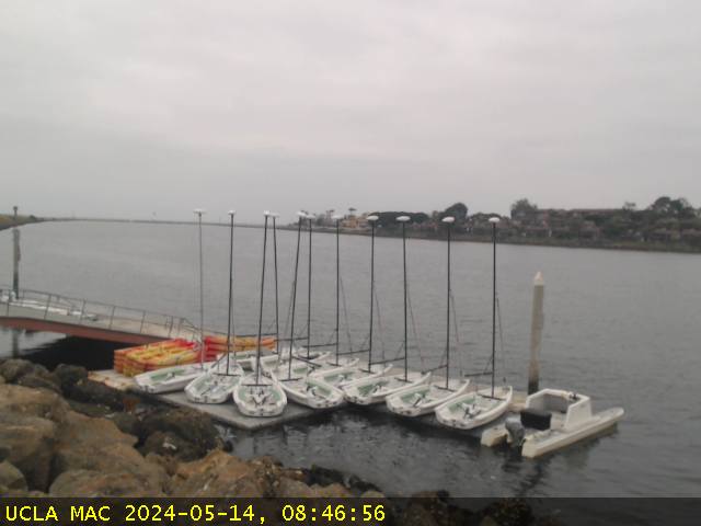
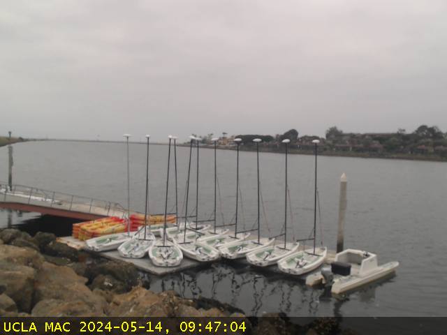
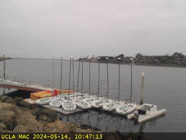
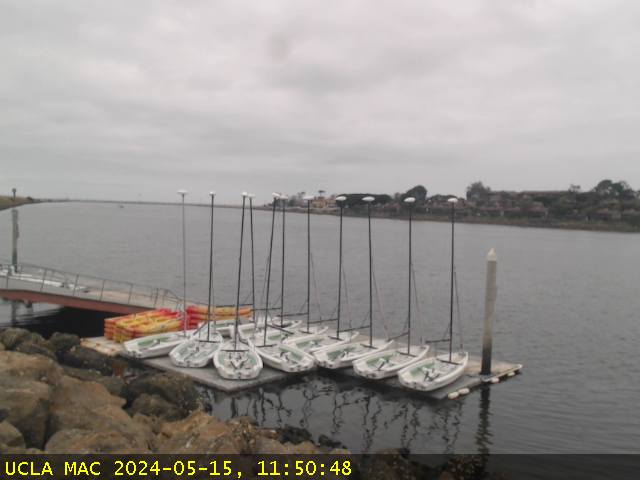
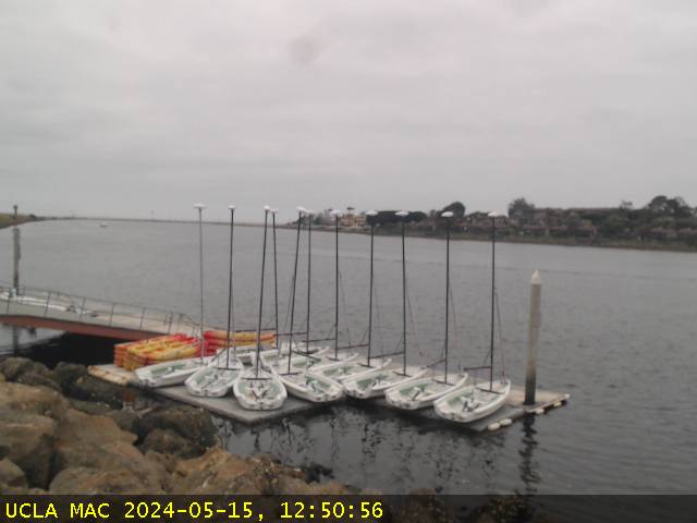
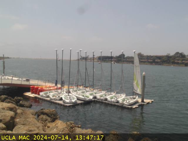
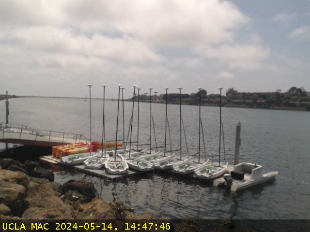
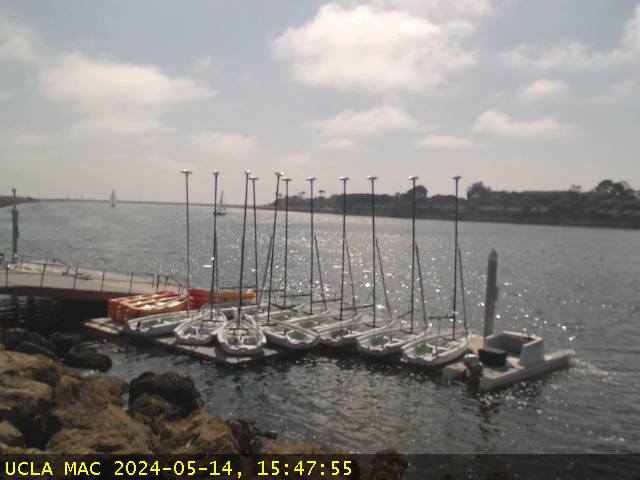
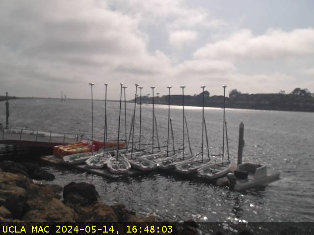
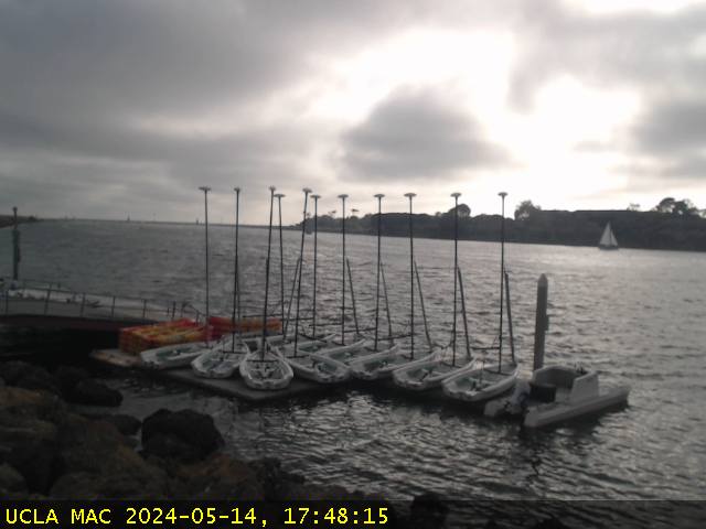
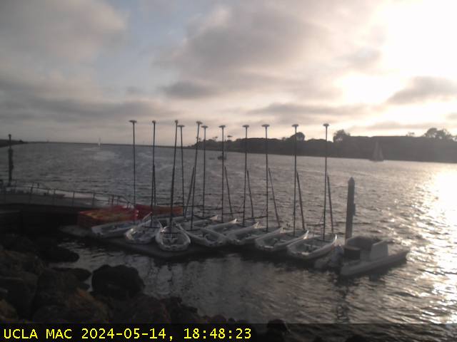
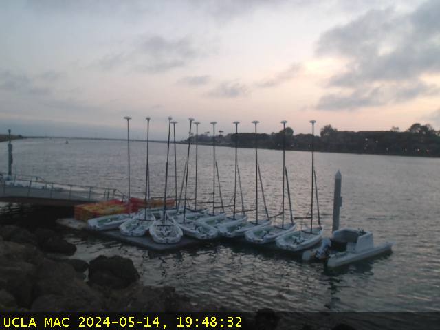
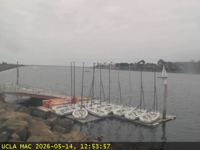
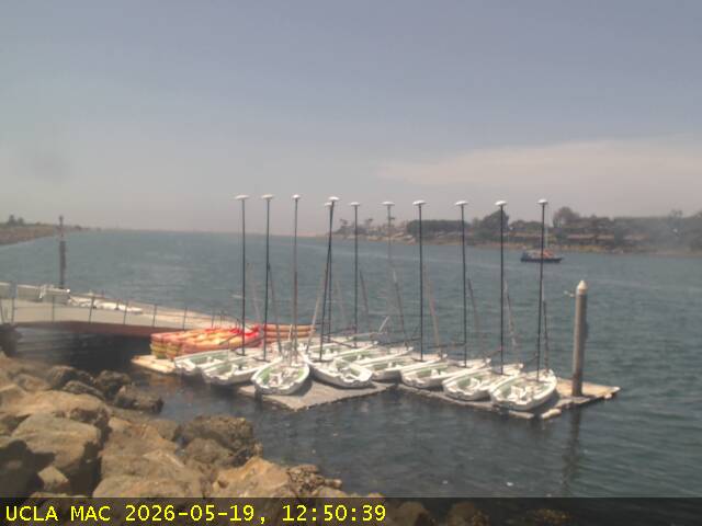
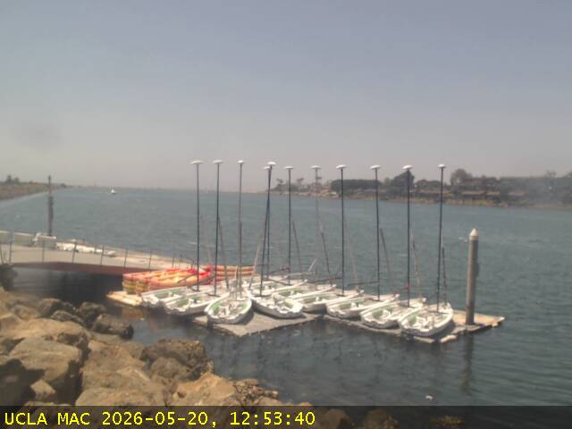
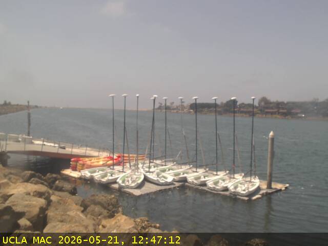
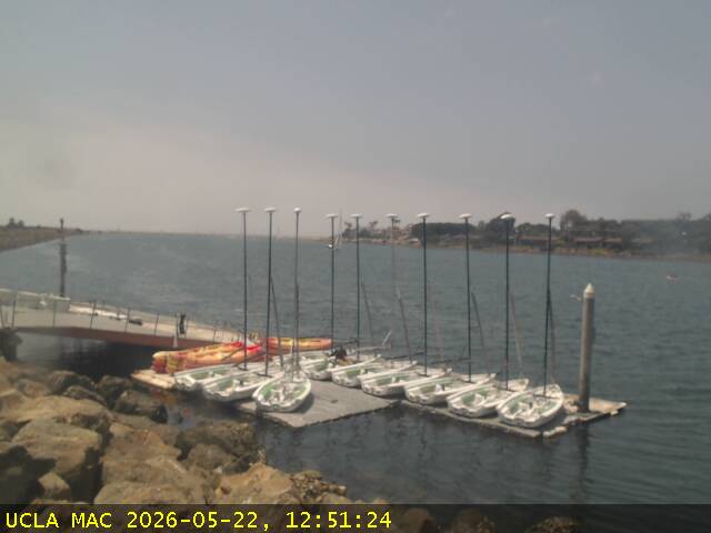
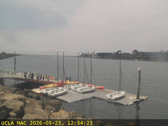
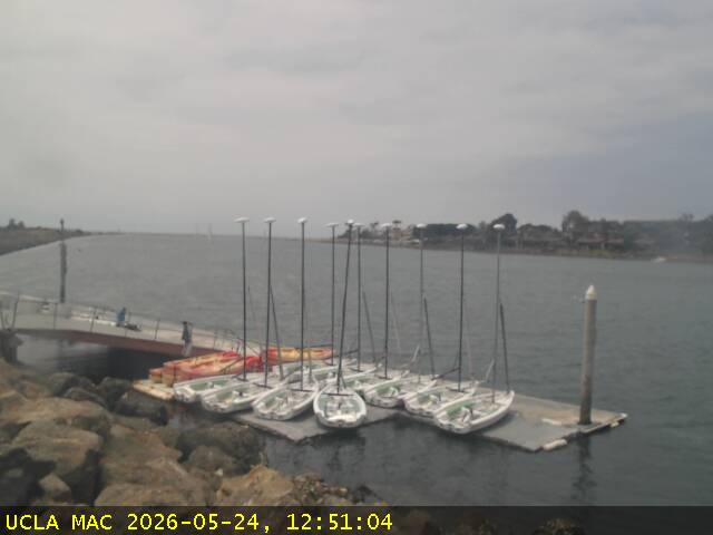
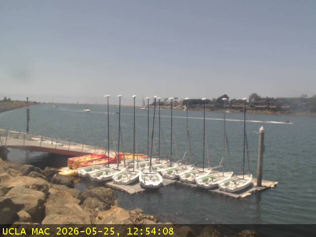
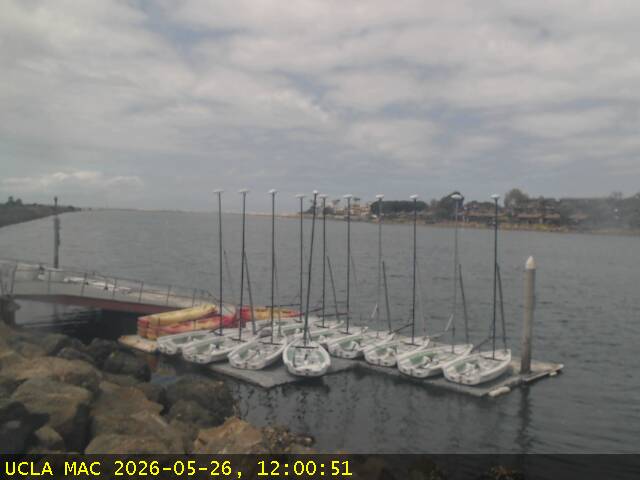
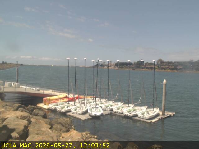
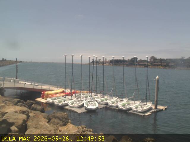
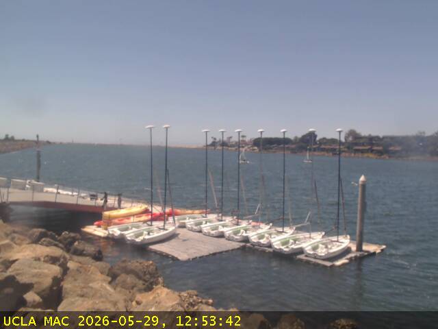
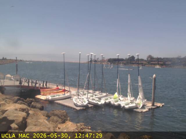
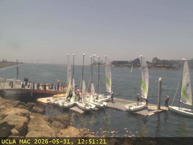
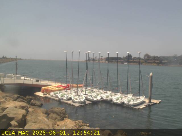
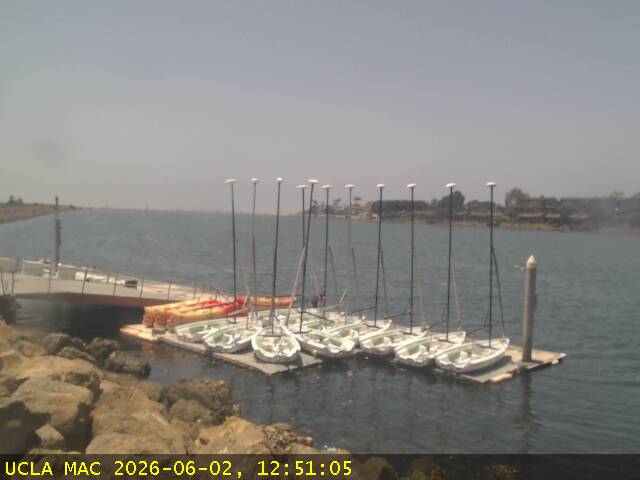
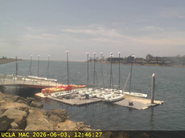
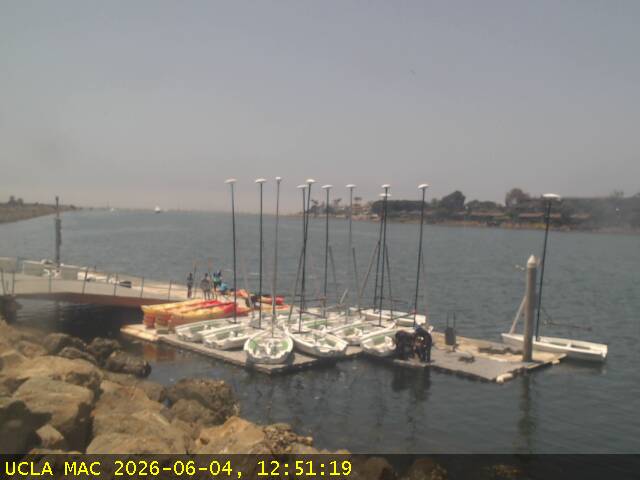
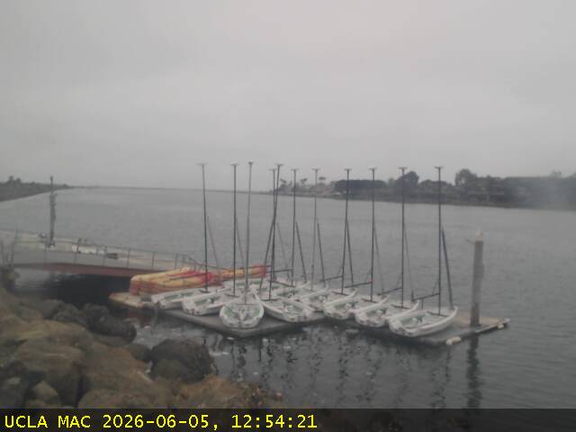
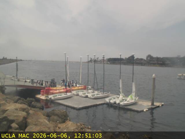
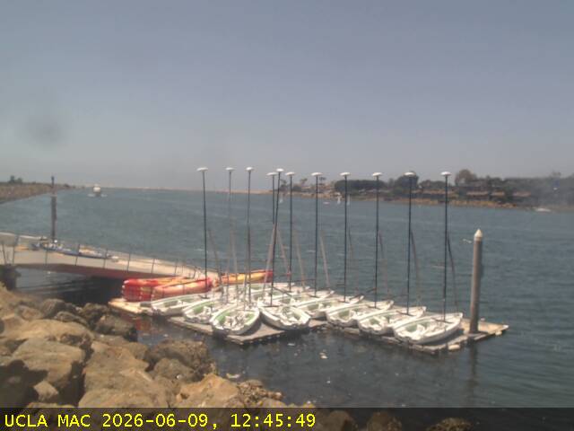
Marina del Rey, California, USA - 112.4 miles from Asphalto (historical): Marina Aquatic Center - A view of the doch area and the port entrance channel in Marina del Rey from the Marina Aquatic Center.
Operator: Marina Aquatic Center
Operator: Marina Aquatic Center